Rain Dale
Valley in Yorkshire Ryedale
England
Rain Dale
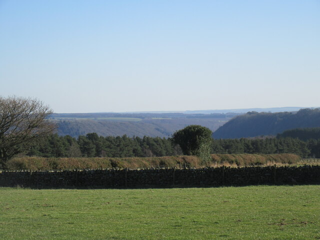
Rain Dale is a picturesque valley located in the county of Yorkshire, England. Nestled amidst the rolling hills and lush green landscapes, this charming valley is known for its stunning natural beauty and tranquil atmosphere. The valley is named after the Rain River, which flows through its heart, adding to its allure.
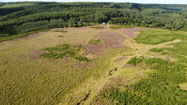
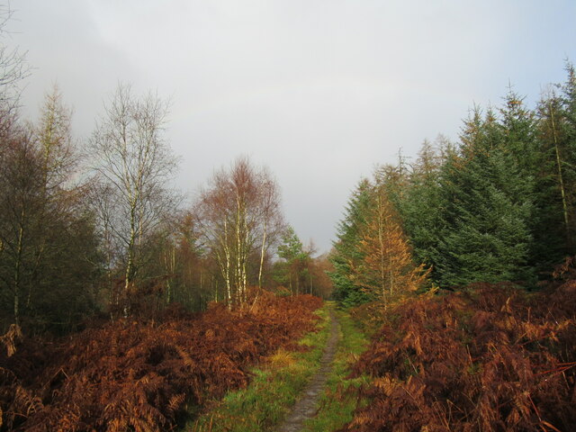
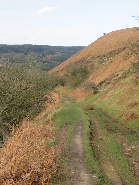
Rain Dale is a haven for outdoor enthusiasts and nature lovers. The valley boasts numerous walking trails and hiking routes, allowing visitors to explore its breathtaking surroundings. The meandering river, surrounded by dense woodlands and meadows, provides a serene setting for picnicking or simply unwinding in nature.
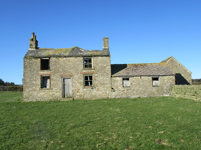
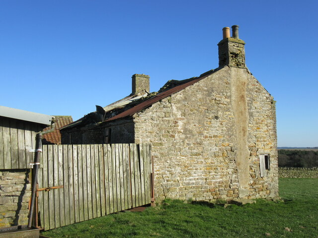
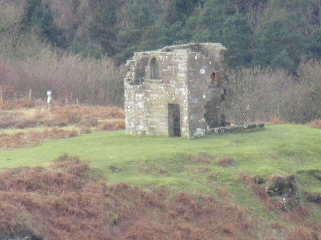
The traditional stone-built villages scattered throughout Rain Dale offer a glimpse into the area's rich history and cultural heritage. Many of these villages date back centuries, with well-preserved cottages and charming village greens. The locals are known for their warm hospitality and proud Yorkshire traditions.
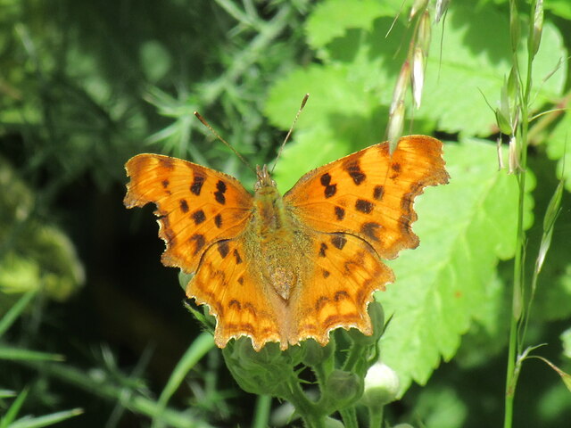
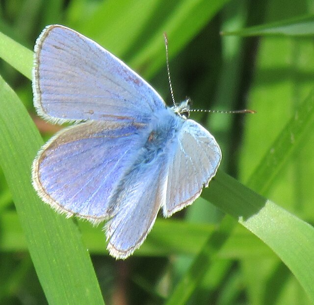
Visitors to Rain Dale can also discover a range of wildlife, including various bird species, deer, and rabbits. The valley's diverse ecosystem supports an array of flora and fauna, making it a haven for nature enthusiasts and photographers.
Despite its rural charm, Rain Dale is conveniently located within close proximity to larger towns and cities. This makes it an ideal base for exploring the wider Yorkshire region, with attractions such as the historic city of York and the stunning Yorkshire Dales National Park just a short drive away.
Overall, Rain Dale is a hidden gem in Yorkshire, offering visitors a chance to escape the hustle and bustle of modern life and immerse themselves in the tranquility of nature.
If you have any feedback on the listing, please let us know in the comments section below.
Rain Dale Images
Images are sourced within 2km of 54.321169/-0.76322357 or Grid Reference SE8092. Thanks to Geograph Open Source API. All images are credited.
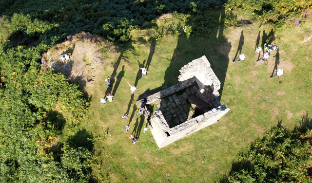

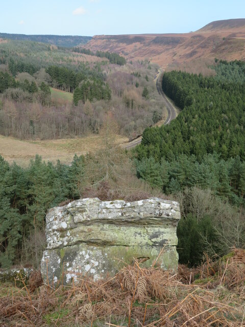
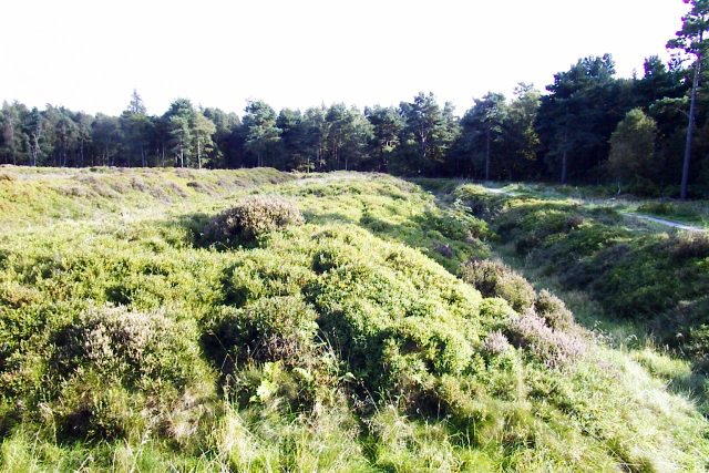
![Path towards Skelton Tower One of many paths that criss-cross this relatively flat 'shelf' between Levisham Moor and Newtondale. The tower is named after the Rev Robert Skelton, one time rector of Levisham who liked to shoot grouse etc on the moor and had this tower built [circa 1830] so he could stay there rather than heading home. The tower stands at the edge of a very steep drop into Newtondale, invisible in this photo. The area around the tower is known as Corn Hill Point from the time when corn was grown here at the time of the Napoleonic wars with France.](https://s1.geograph.org.uk/geophotos/07/43/85/7438505_ec8cc523.jpg)
Rain Dale is located at Grid Ref: SE8092 (Lat: 54.321169, Lng: -0.76322357)
Division: North Riding
Administrative County: North Yorkshire
District: Ryedale
Police Authority: North Yorkshire
What 3 Words
///initiates.cubed.exam. Near Pickering, North Yorkshire
Nearby Locations
Related Wikis

Stape
Stape is a hamlet and civil parish in the Ryedale district of North Yorkshire, England. At the 2011 Census the population was less than 100; details are...
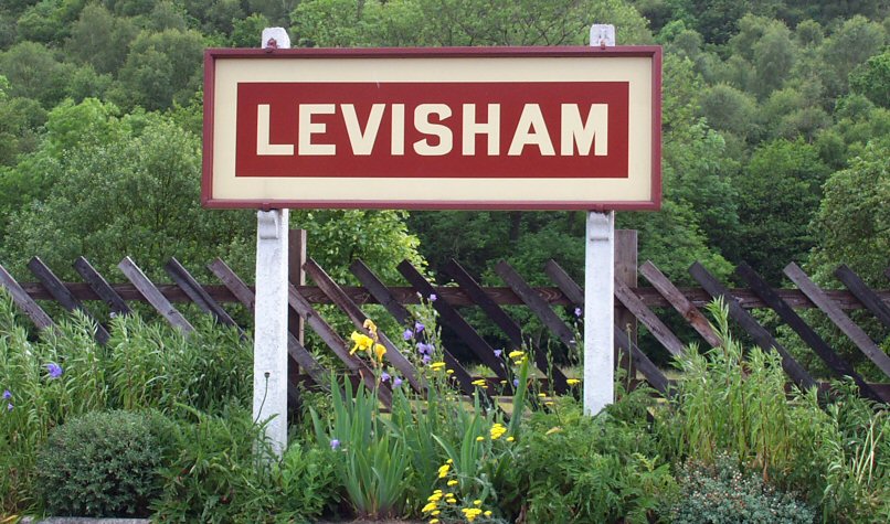
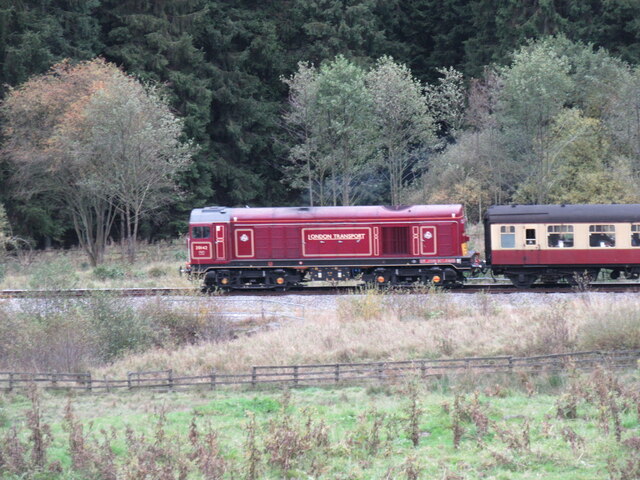
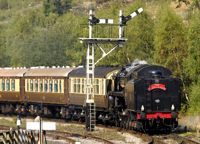
Levisham railway station
Levisham railway station is a station on the North Yorkshire Moors Railway and serves the village of Levisham in the North York Moors National Park, North...

Newton-on-Rawcliffe
Newton-on-Rawcliffe is a village and civil parish (as Newton) in North Yorkshire, England. It is in the North York Moors National Park, 4 miles (6.4 km...
Cawthorne Camp
Cawthorne Camp (sometimes spelled "Cawthorn") is a Roman site in north-east England, about 4 miles (6 km) north of Pickering, North Yorkshire. The well...

Levisham
Levisham is a small village and civil parish in North Yorkshire, England, located within the North York Moors National Park about 5 miles (8 km) north...

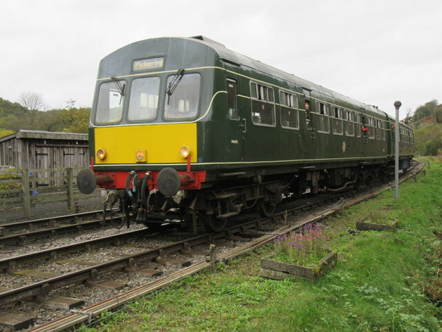
Newton Dale Halt railway station
Newton Dale Halt railway station is a request stop on the North Yorkshire Moors Railway and serves as a stopping off point for walkers around Newton Dale...

Hole of Horcum
The Hole of Horcum is a section of the valley of the Levisham Beck, upstream of Levisham and Lockton, in the Tabular Hills of the North York Moors National...

Lockton
Lockton is a small village and civil parish in North Yorkshire, England. It is situated in the North York Moors about 4 miles (6.4 km) north-east of Pickering...
Nearby Amenities
Located within 500m of 54.321169,-0.76322357Have you been to Rain Dale?
Leave your review of Rain Dale below (or comments, questions and feedback).