Osier Gully
Valley in Berkshire
England
Osier Gully
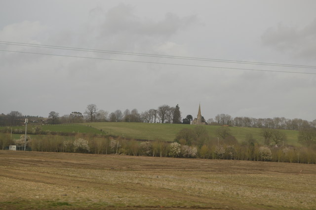
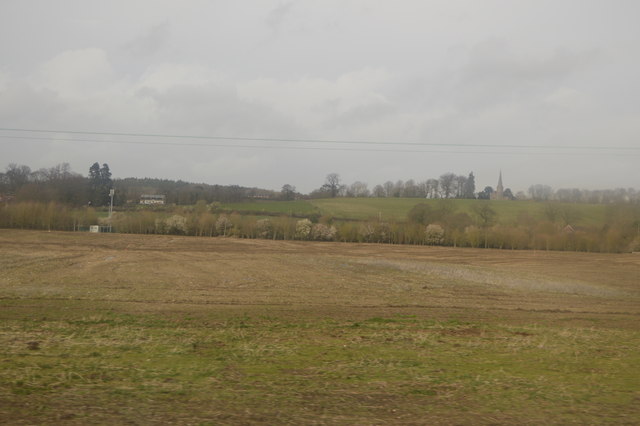
Osier Gully, Berkshire, is a picturesque valley located in the southern region of England. Nestled between rolling hills and verdant countryside, this idyllic location offers a tranquil escape from the hustle and bustle of city life.
The gully is named after the abundant presence of osier trees, also known as willows, which line the banks of the small stream that meanders through the valley. These trees add a touch of natural beauty, with their gracefully drooping branches and vibrant green foliage.
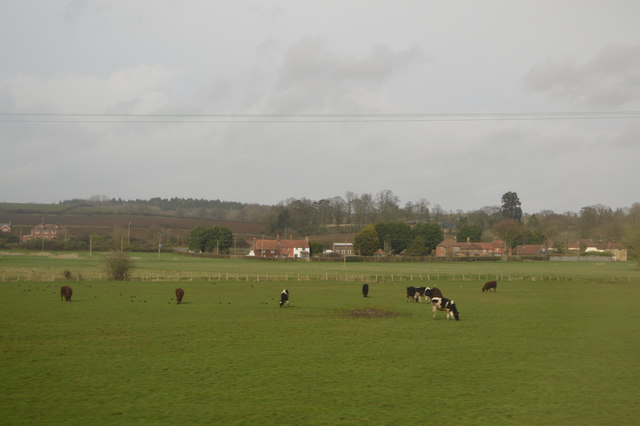
The diverse ecosystem of Osier Gully is home to a variety of wildlife species. Bird enthusiasts can spot a range of avian species, including kingfishers, herons, and warblers. In addition, the valley is a haven for small mammals such as rabbits, foxes, and hedgehogs.
Hikers and nature lovers will find plenty to explore in Osier Gully. The valley offers a network of well-maintained walking trails that wind through the enchanting woodland and meadows. These trails provide breathtaking views of the surrounding countryside and opportunities to observe the local flora and fauna up close.
Osier Gully also boasts a rich history, with archaeological evidence suggesting human habitation in the area dating back to the Iron Age. Remnants of ancient settlements, burial mounds, and Roman artifacts have been discovered in and around the valley, adding an intriguing historical dimension to the landscape.
Overall, Osier Gully, Berkshire, is a hidden gem in the heart of the English countryside. With its natural beauty, diverse wildlife, and historical significance, it is a place that captivates the imagination and offers a peaceful retreat for visitors and locals alike.
If you have any feedback on the listing, please let us know in the comments section below.
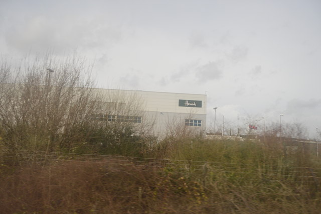
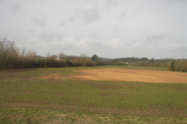
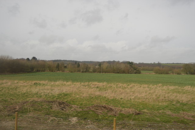
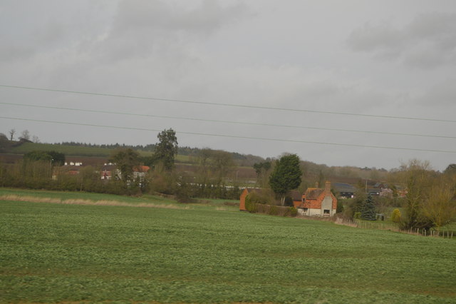
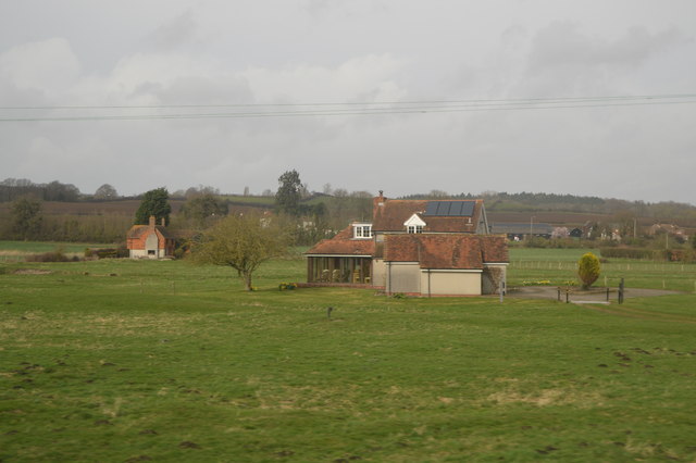
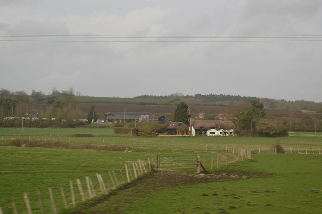
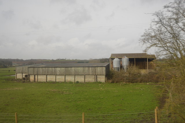
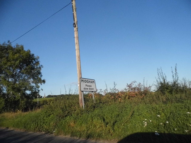
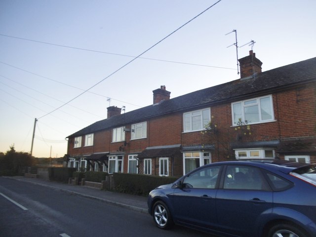
Osier Gully Images
Images are sourced within 2km of 51.381073/-1.2210998 or Grid Reference SU5464. Thanks to Geograph Open Source API. All images are credited.
Osier Gully is located at Grid Ref: SU5464 (Lat: 51.381073, Lng: -1.2210998)
Unitary Authority: West Berkshire
Police Authority: Thames Valley
What 3 Words
///desks.metro.lads. Near Thatcham, Berkshire
Nearby Locations
Related Wikis

Hyde End, Berkshire
Hyde End is a small hamlet in Berkshire, England, and part of the civil parish of Brimpton. The settlement lies south of the A4 road and approximately...

Crookham, Berkshire
Crookham is a dispersed hamlet in the English county of Berkshire, and part of the civil parish of Thatcham. == Geography == The settlement lies near...

Midgham Lock
Midgham Lock is a lock on the Kennet and Avon Canal, between Thatcham and Woolhampton, Berkshire, England. Midgham Lock was built between 1718 and 1723...

Colthrop Lock
Colthrop Lock is a lock on the Kennet and Avon Canal, at Thatcham, Berkshire, England. Colthrop Lock was built between 1718 and 1723 under the supervision...
Nearby Amenities
Located within 500m of 51.381073,-1.2210998Have you been to Osier Gully?
Leave your review of Osier Gully below (or comments, questions and feedback).