Brokes Gully

Valley in Hampshire Winchester

England

Brokes Gully

The Wintershill Jubilee path A newly-made permissive path through the Wintershill estate to mark the platinum jubilee of Her Majesty Queen Elizabeth II. It runs from the intersection of the Roman road and Wintershill road, seen here, westwards up Winters Hill to Sciviers Lane. The path runs roughly parallel to Wintershill road, about 30 yards from it.
The Wintershill Jubilee path Credit: Peter Facey

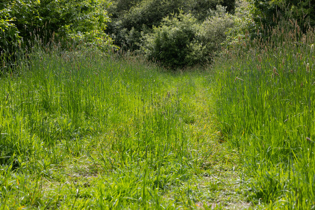
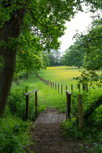
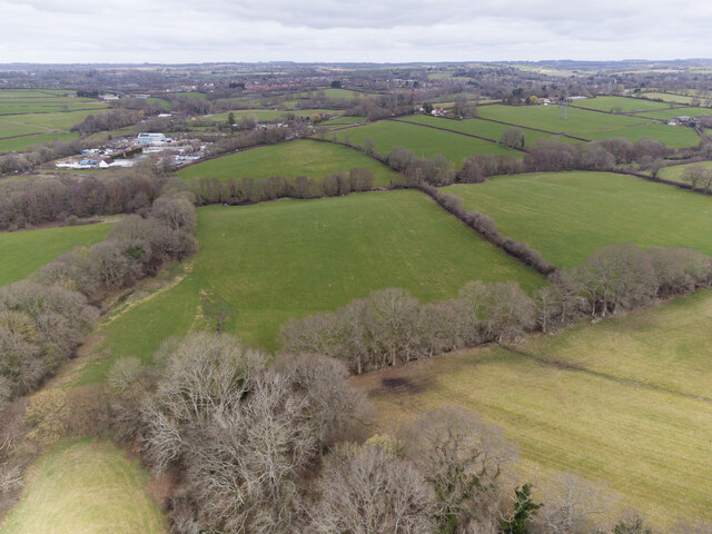
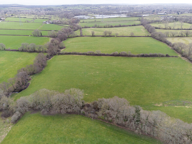
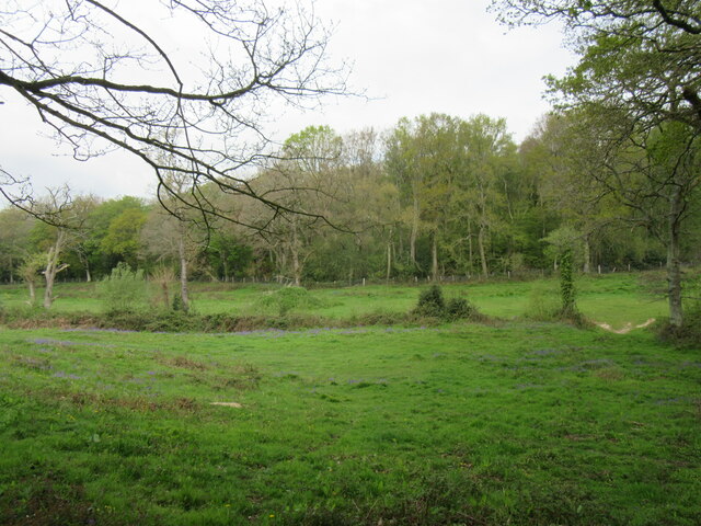
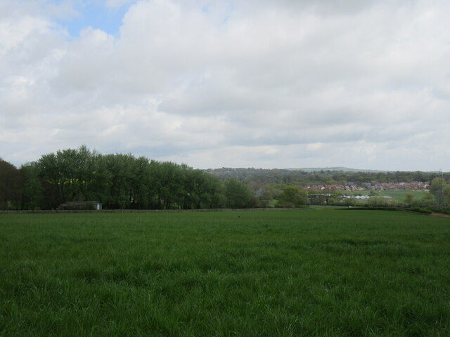
Brokes Gully, located in Hampshire, England, is a picturesque valley known for its natural beauty and tranquility. Nestled within the rolling countryside, it stretches for approximately 2 miles, offering visitors a serene escape from the bustling city life.

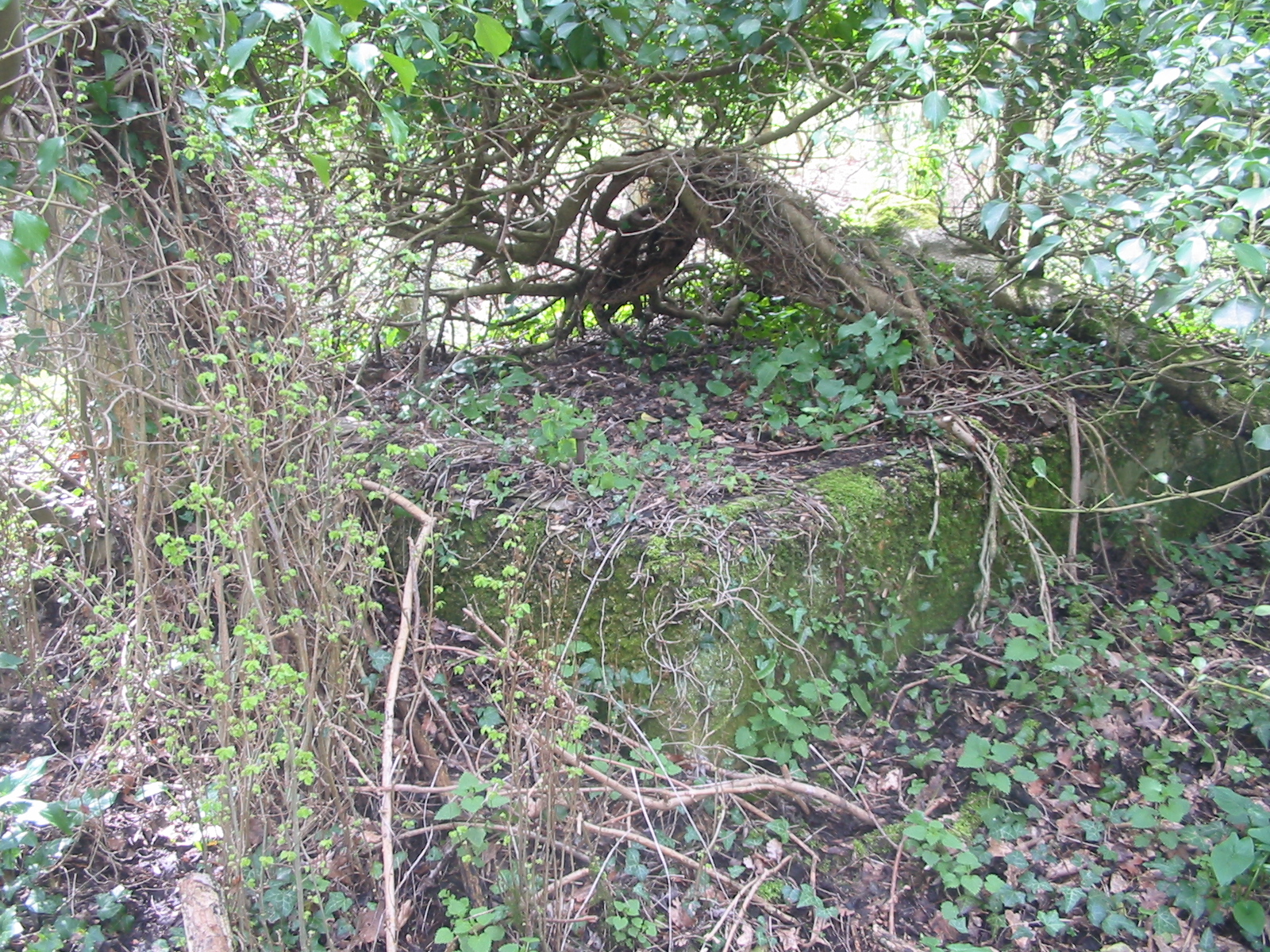
The gully is characterized by its lush greenery, with towering trees lining the slopes and a meandering stream that runs through its center. The stream, fed by natural springs, creates a soothing ambiance as it gently flows over rocks and pebbles. This water source attracts an array of wildlife, including ducks, herons, and various species of fish.

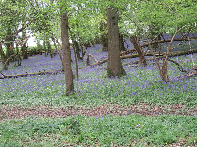
Nature enthusiasts flock to Brokes Gully to explore its diverse flora and fauna. The valley is home to an abundance of plant species, ranging from wildflowers to ancient ferns, creating a vibrant and colorful landscape throughout the year. The peaceful atmosphere also provides an ideal habitat for numerous bird species, making it a popular destination for birdwatching enthusiasts.

For those seeking outdoor activities, Brokes Gully offers several well-maintained walking trails that wind through the valley. These trails provide stunning views of the surrounding countryside, with opportunities to spot deer and other wildlife along the way. The valley's undulating terrain also makes it a favored spot for cyclists and horse riders.

Brokes Gully, with its idyllic setting and diverse ecosystems, is a cherished natural gem in Hampshire. Its unspoiled beauty and tranquil ambiance make it a perfect destination for nature lovers and those seeking a peaceful retreat in the heart of the English countryside.

If you have any feedback on the listing, please let us know in the comments section below.
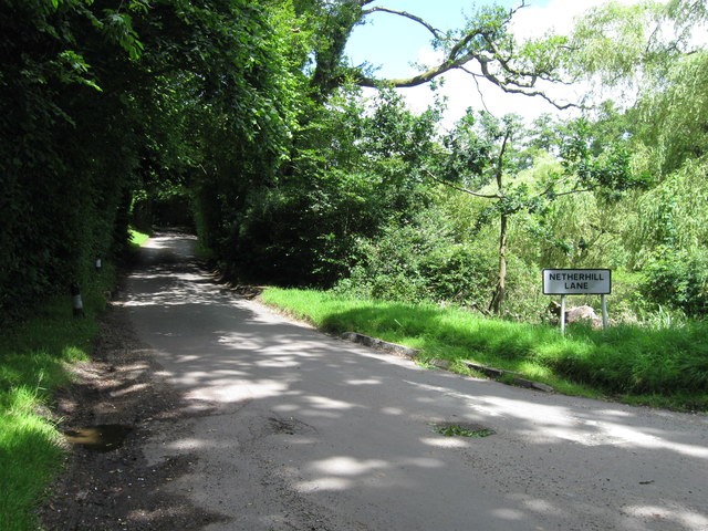
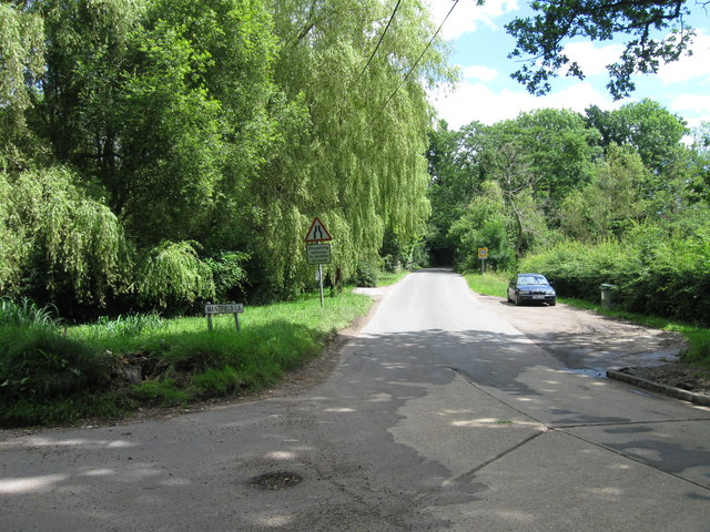
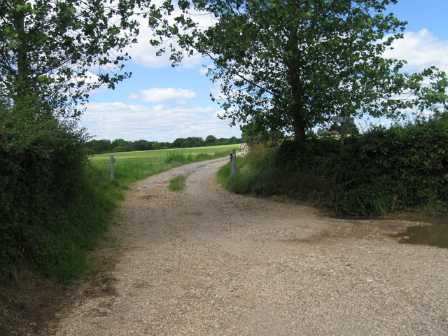
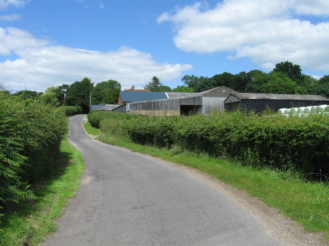
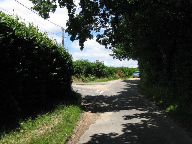
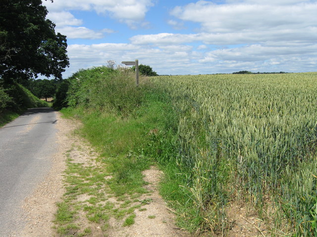
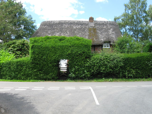
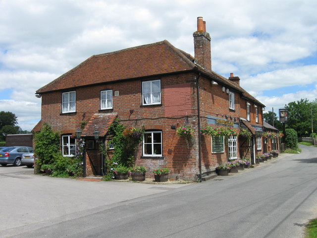
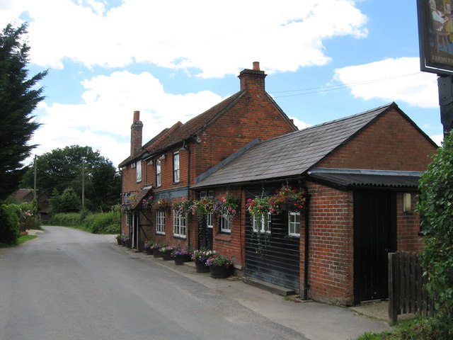
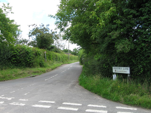
Brokes Gully Images

Images are sourced within 2km of 50.940786/-1.2493993 or Grid Reference SU5215. Thanks to Geograph Open Source API. All images are credited.

The Wintershill Jubilee path A newly-made permissive path through the Wintershill estate to mark the platinum jubilee of Her Majesty Queen Elizabeth II. It runs from the intersection of the Roman road and Wintershill road, seen here, westwards up Winters Hill to Sciviers Lane. The path runs roughly parallel to Wintershill road, about 30 yards from it.
The Wintershill Jubilee path
A newly-made permissive path through the Wintershill estate to mark the platinum jubilee of Her Majesty Queen Elizabeth II. It runs from the intersection of the Roman road and Wintershill road, seen here, westwards up Winters Hill to Sciviers Lane. The path runs roughly parallel to Wintershill road, about 30 yards from it.
The Wintershill Jubilee path With buttercups. A newly-made permissive path through the Wintershill estate to mark the platinum jubilee of Her Majesty Queen Elizabeth II. It runs from the intersection of the Roman road and Wintershill road, seen here, westwards up Winters Hill to Sciviers Lane. The path runs roughly parallel to Wintershill road, about 30 yards from it. A public footpath runs off-picture to the right from here through the centre of the estate.
The Wintershill Jubilee path
With buttercups. A newly-made permissive path through the Wintershill estate to mark the platinum jubilee of Her Majesty Queen Elizabeth II. It runs from the intersection of the Roman road and Wintershill road, seen here, westwards up Winters Hill to Sciviers Lane. The path runs roughly parallel to Wintershill road, about 30 yards from it. A public footpath runs off-picture to the right from here through the centre of the estate.
Upcoming solar farm on land at Locks Farm Drone photo. The two fields occupying the centre of this photo form the western end of the area to be covered by solar panels. Locks Farm istself, not part of the solar development, is seen at top right. The white buildings at top left are on the far side of the B3055 Bishop's Waltham to Botley road, and are mainly occupied by the Bishop's Waltham depot of Hampshire Highways.
Upcoming solar farm on land at Locks Farm
Drone photo. The two fields occupying the centre of this photo form the western end of the area to be covered by solar panels. Locks Farm istself, not part of the solar development, is seen at top right. The white buildings at top left are on the far side of the B3055 Bishop's Waltham to Botley road, and are mainly occupied by the Bishop's Waltham depot of Hampshire Highways.
Upcoming solar farm on land at Locks Farm Drone photo. Looking east from the westernmost of the five fields due to be covered by solar panels. Beyond these five fields can be seen the earlier and unrelated 15 MW SolarFields solar farm. To its left, the buildings of Locks Farm itself which are not part of the development.
Upcoming solar farm on land at Locks Farm
Drone photo. Looking east from the westernmost of the five fields due to be covered by solar panels. Beyond these five fields can be seen the earlier and unrelated 15 MW SolarFields solar farm. To its left, the buildings of Locks Farm itself which are not part of the development.
Greenwood This woodland is called Greenwood.
Greenwood
This woodland is called Greenwood.
Winters Hill Looking NE.
Winters Hill
Looking NE.
Bluebells Bluebells in a wood near Wintershill.
Bluebells
Bluebells in a wood near Wintershill.
Old Milestone by the B3035, Curdridge Metal plate attached to stone post by the B3035, in parish of Curdridge (Winchester District), opposite Woolams Cottage, by the road, on East side of road. Erected by the London & Southampton through Bishops Waltham turnpike trust in the 19th century. 

Inscription reads:-
MILES
69 TO
LONDON
8 TO
SOUTHTON 

Winchester HER & Winchester UAD listed.
Winchester HER No.: MWC1652 <span class="nowrap"><a title="https://www.heritagegateway.org.uk/Gateway/Results_Single.aspx?uid=MWC1652&resourceID=1013" rel="nofollow ugc noopener" href="https://www.heritagegateway.org.uk/Gateway/Results_Single.aspx?uid=MWC1652&resourceID=1013">Link</a><img style="margin-left:2px;" alt="External link" title="External link - shift click to open in new window" src="https://s1.geograph.org.uk/img/external.png" width="10" height="10"/></span>

Milestone Society National ID: HA_ALBO22
Old Milestone by the B3035, Curdridge
Metal plate attached to stone post by the B3035, in parish of Curdridge (Winchester District), opposite Woolams Cottage, by the road, on East side of road. Erected by the London & Southampton through Bishops Waltham turnpike trust in the 19th century. Inscription reads:- MILES 69 TO LONDON 8 TO SOUTHTON Winchester HER & Winchester UAD listed. Winchester HER No.: MWC1652 LinkExternal link Milestone Society National ID: HA_ALBO22
Netherhill lane
Netherhill lane
Wangfield Lane
Wangfield Lane
Entrance to Hill Farm
Netherhill Farm
Netherhill Farm
Road junction
Road junction
Road and finger post
Road junction
Road junction
Farmer's Home
Farmer's Home
Farmer's Home
Farmer's Home
Gregory Lane
Gregory Lane
Show me another place!

Brokes Gully is located at Grid Ref: SU5215 (Lat: 50.940786, Lng: -1.2493993)

Administrative County: Hampshire

District: Winchester

Police Authority: Hampshire

What 3 Words

///backtrack.commended.putts. Near Bishops Waltham, Hampshire

Related Wikis

Durley Mill

Durley Mill is a hamlet between Botley and Bishops Waltham in Hampshire, England. It once had a small intermediate halt on the Bishops Waltham branch...

Durley Halt railway station

Durley Halt railway station was the only intermediate stop on the 3+3⁄4 mile Bishops Waltham branch line that connected Bishops Waltham to Botley. Opened...

Durley

Durley is a village and civil parish in the City of Winchester district of Hampshire, England. It is located approximately 7½ miles (12.1 km) northeast...

Durley Street

Durley Street is a village in the City of Winchester district of Hampshire, England. It is located approximately 7 miles (11 km) northeast of Southampton...

Nearby Amenities

Located within 500m of 50.940786,-1.2493993
Post Box
Collection Plate: CP5D
Collection Times: Mo-Fr 09:00; Sa 07:00
Collection Times Checked: 2020-01-26
Old Ref: SO32 308
Operator: Royal Mail
Post Box Type: wall
Ref: SO32 308D
Royal Cypher: GR
Royal Cypher Wikidata: Q33102273
Lat/Long: 50.9403464/-1.2532803
Material: wood
Power: pole
Source: bing
Lat/Long: 50.9363473/-1.2504132
Material: wood
Power: pole
Source: bing
Lat/Long: 50.936488/-1.2486062
Material: wood
Power: pole
Source: bing
Lat/Long: 50.9371845/-1.2534502
The data included in this document is from www.openstreetmap.org. The data is made available under ODbL.

Have you been to Brokes Gully?

Leave your review of Brokes Gully below (or comments, questions and feedback).