Milkham Bottom
Valley in Hampshire New Forest
England
Milkham Bottom
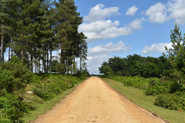
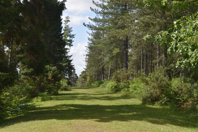
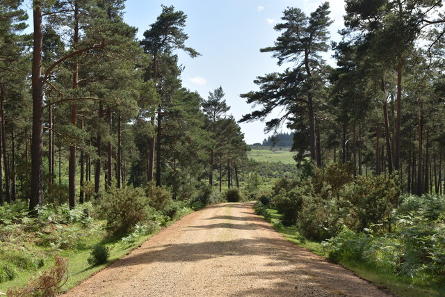
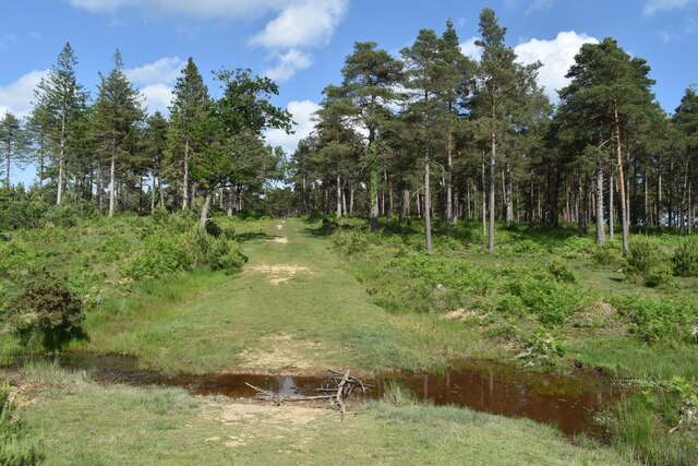
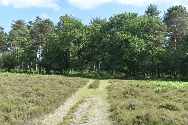
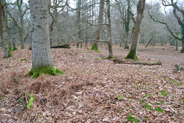
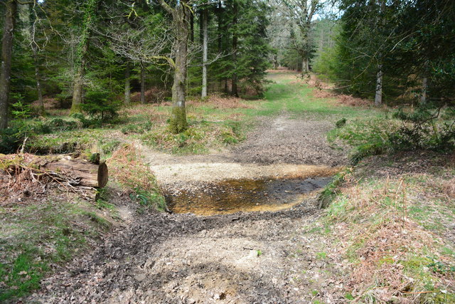
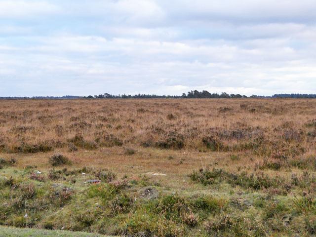
Milkham Bottom is a picturesque valley located in the county of Hampshire, England. Nestled amidst the scenic beauty of the New Forest National Park, it offers a serene and idyllic escape from the hustle and bustle of city life.
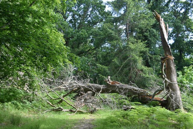
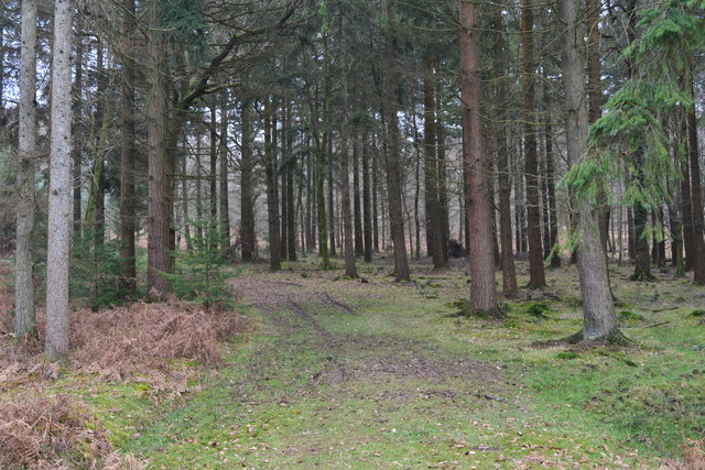
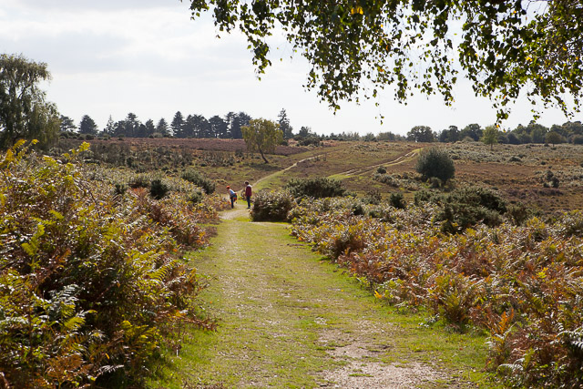
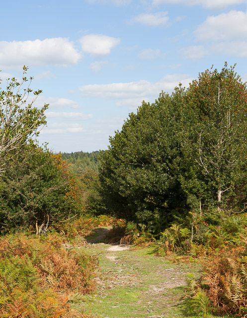
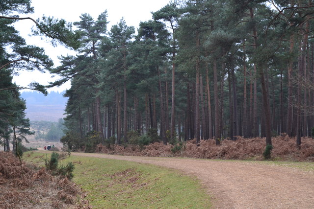
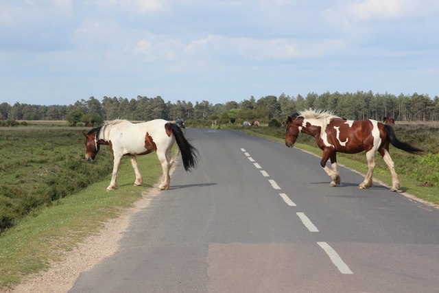
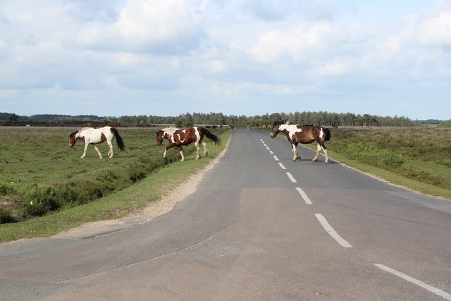
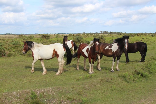
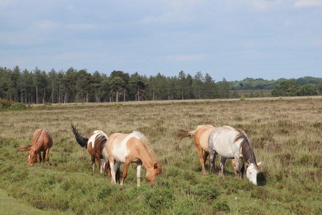
This valley is characterized by its lush green meadows, rolling hills, and meandering streams. The area is renowned for its diverse wildlife, with a plethora of bird species, deer, and other mammals calling it home. The enchanting landscape offers numerous walking trails and nature reserves, making it a haven for hikers, nature enthusiasts, and photographers.
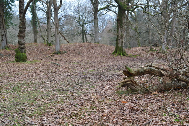
Milkham Bottom is also steeped in history, with evidence of human habitation dating back centuries. It was once part of a royal hunting ground and its rich past can still be seen today in the form of ancient burial mounds and archaeological sites. The valley is dotted with charming villages and hamlets, adding to its charm and providing visitors with a glimpse into traditional rural life.
In addition to its natural beauty, Milkham Bottom offers a range of recreational activities. Visitors can indulge in horse riding, cycling, or picnicking in the peaceful surroundings. The valley is also renowned for its equestrian events, attracting riders and spectators from far and wide.
With its stunning landscapes, abundant wildlife, and rich history, Milkham Bottom is a true gem in the heart of Hampshire. Whether one seeks tranquility, adventure, or a connection with nature, this valley offers a truly unforgettable experience.
If you have any feedback on the listing, please let us know in the comments section below.
Milkham Bottom Images
Images are sourced within 2km of 50.883094/-1.6966412 or Grid Reference SU2109. Thanks to Geograph Open Source API. All images are credited.
Milkham Bottom is located at Grid Ref: SU2109 (Lat: 50.883094, Lng: -1.6966412)
Administrative County: Hampshire
District: New Forest
Police Authority: Hampshire
What 3 Words
///outhouse.logs.doormat. Near Burley, Hampshire
Nearby Locations
Related Wikis

Linwood, Hampshire
Linwood is a hamlet in the New Forest National Park of Hampshire, England. Its nearest town is Ringwood, which lies approximately 4.2 miles (5.9 km) south...

Ocknell Plain
Ocknell Plain can be found in the New Forest near Southampton, England. The area was used in World War II for the Stoney Cross airfield and it is now very...

Picket Post
Picket Post is a road junction and service area in the New Forest National Park of Hampshire, England. It lies on the A31 road. == Facilities == Picket...

Linford, Hampshire
Linford is a hamlet in the New Forest district of Hampshire, England, close to the market town of Ringwood. It is about 1.5 miles east of Ringwood. It...
Shobley
Shobley is a small hamlet in the New Forest National Park of Hampshire, England. Its nearest town is Ringwood, which lies approximately 1.8 miles (2.9...

Bolderwood, Hampshire
Bolderwood is an area of the New Forest in Hampshire. Bolderwood hosts a deer sanctuary with a public deer observation platform. As a result, the public...

New Forest District
New Forest is a local government district in Hampshire, England. Its council is based in Lyndhurst, although the largest town is Totton. The district also...
Ellingham, Harbridge and Ibsley
Ellingham, Harbridge and Ibsley is a civil parish in the west of the English county of Hampshire. The population of the civil parish at the 2011 Census...
Nearby Amenities
Located within 500m of 50.883094,-1.6966412Have you been to Milkham Bottom?
Leave your review of Milkham Bottom below (or comments, questions and feedback).