Cross Clough

Valley in Yorkshire

England

Cross Clough

Raistrick Greave Farmhouse ruin dating back to the 17th century.
Raistrick Greave Credit: Stephen Shaw

Cross Clough is a picturesque valley located in the county of Yorkshire, England. Nestled in the heart of the stunning Yorkshire Dales National Park, it offers visitors a captivating blend of natural beauty, historical significance, and outdoor recreational opportunities.

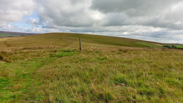
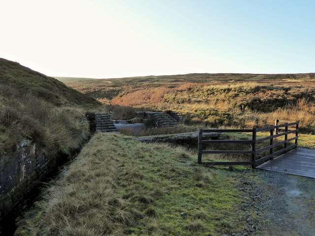
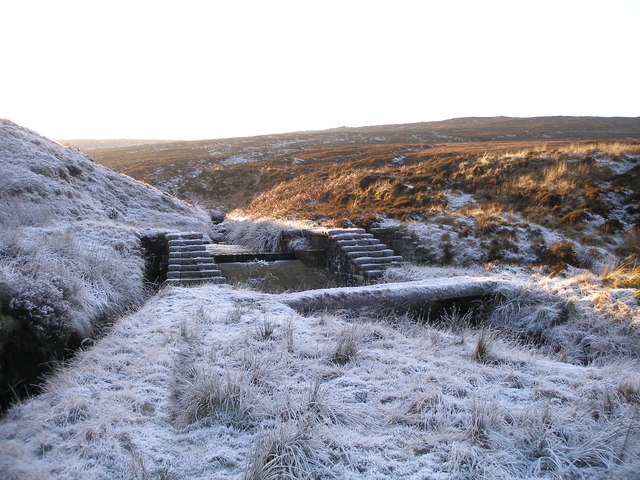
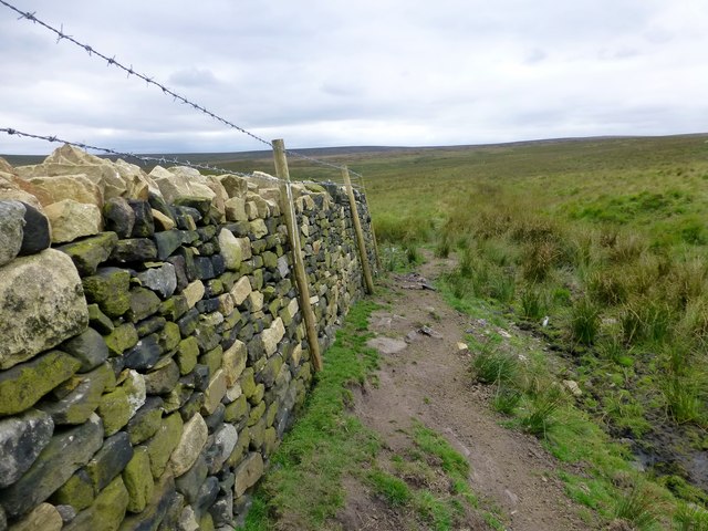
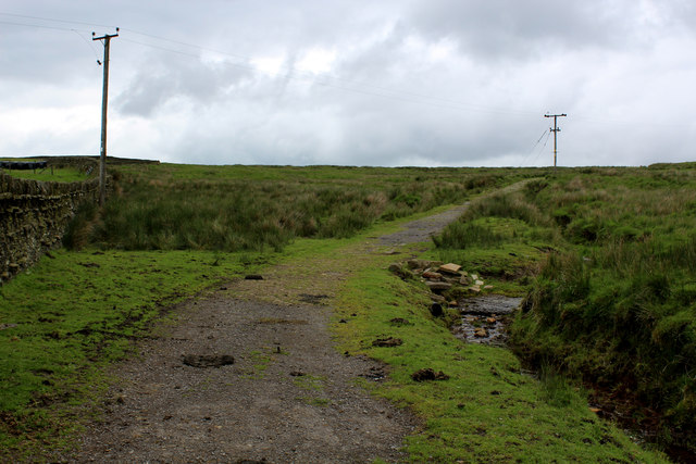
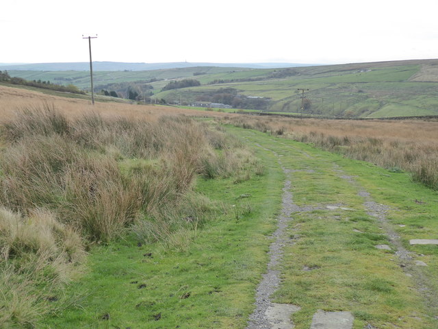
The valley is traversed by a babbling stream, which meanders through the lush green meadows and dense woodlands. Surrounded by rolling hills and towering cliffs, Cross Clough boasts breathtaking panoramic views that are a treat for nature enthusiasts and photographers alike.

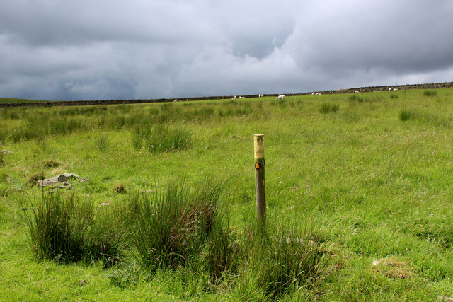
The area is rich in biodiversity, with numerous species of flora and fauna calling it home. Rare wildflowers dot the landscape, and the valley is teeming with diverse birdlife, making it a haven for birdwatchers. Additionally, the stream is home to various fish species, providing opportunities for fishing enthusiasts.

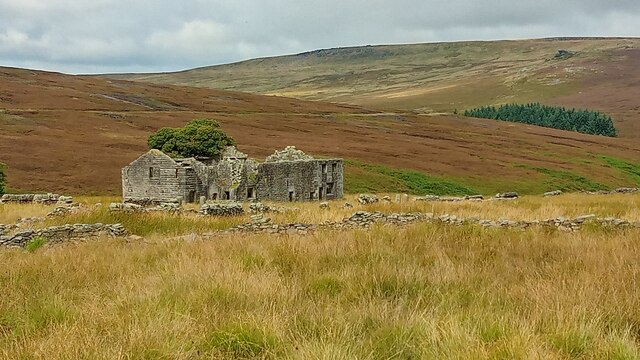
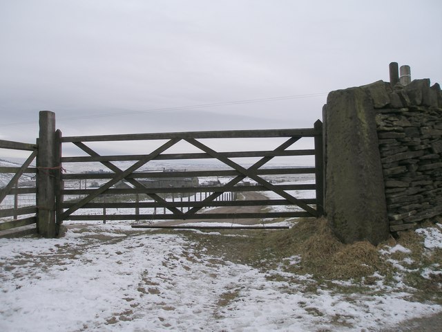
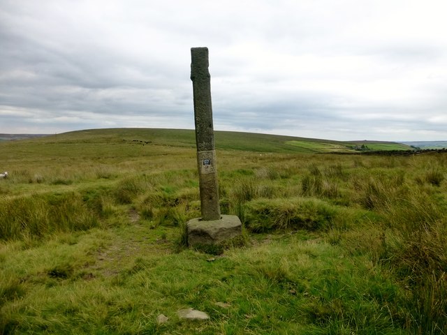
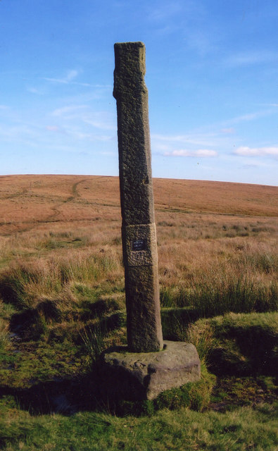
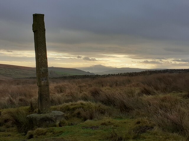
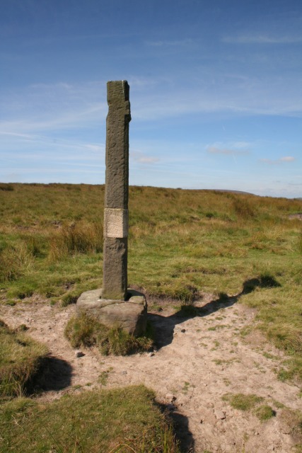
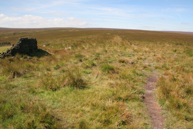
Cross Clough also holds historical significance, with remnants of ancient settlements and structures dotted throughout the valley. The remains of stone walls and old barns serve as a testament to the area's agricultural past, while old packhorse trails and footpaths tell stories of long-forgotten trade routes and pilgrimages.

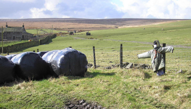
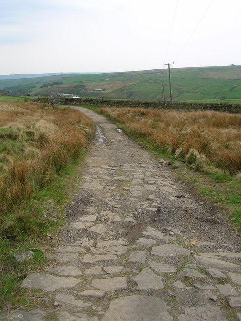
Outdoor activities are plentiful in Cross Clough, with ample opportunities for hiking, cycling, and horseback riding along the numerous trails that crisscross the valley. The area also offers a range of camping and picnic spots, allowing visitors to immerse themselves in the tranquility of the surroundings.

In conclusion, Cross Clough is a hidden gem in Yorkshire, offering a harmonious blend of natural beauty and historical significance. Whether you seek adventure, relaxation, or a chance to connect with nature, this stunning valley is sure to captivate and delight.

If you have any feedback on the listing, please let us know in the comments section below.
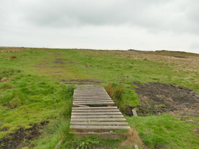
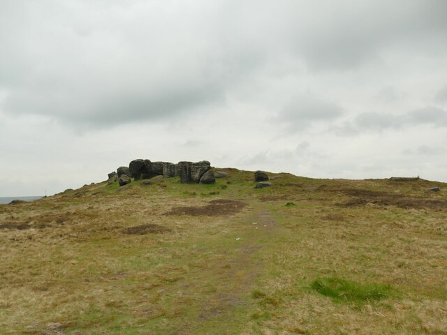
Cross Clough Images

Images are sourced within 2km of 53.755034/-2.1017437 or Grid Reference SD9328. Thanks to Geograph Open Source API. All images are credited.

Raistrick Greave Farmhouse ruin dating back to the 17th century.
Raistrick Greave
Farmhouse ruin dating back to the 17th century.
Reaps Cross The cross has been vandalized in the past but still has a presence on Reaps Edge high on  Heptonstall Moor.
Reaps Cross
The cross has been vandalized in the past but still has a presence on Reaps Edge high on Heptonstall Moor.
Dam on Red Carr Clough The dam and weir seem to create a settlement pond for water draining into the catchment drain for Gorple Upper Reservoir
Dam on Red Carr Clough
The dam and weir seem to create a settlement pond for water draining into the catchment drain for Gorple Upper Reservoir
Dam (disused?) on the Gorple Upper conduit
You can see Egypt from here There's a cut benchmark on the gatepost at the end of the Egypt Farm access track
You can see Egypt from here
There's a cut benchmark on the gatepost at the end of the Egypt Farm access track
Reaps Cross Reaps Cross is where a number of footpaths meet and it is near Egypt and has a view towards Greenland.
Reaps Cross
Reaps Cross is where a number of footpaths meet and it is near Egypt and has a view towards Greenland.
Reaps Edge A recently repaired dry stone wall and fence at Reaps Edge.
Reaps Edge
A recently repaired dry stone wall and fence at Reaps Edge.
Public Footpath on Rough Pasture, Heptonstall Moor Not evident on the ground, but posts lead the way for the footpath between the ruins of Rough Hey to the ruins of Raistrick Greave.
Public Footpath on Rough Pasture, Heptonstall Moor
Not evident on the ground, but posts lead the way for the footpath between the ruins of Rough Hey to the ruins of Raistrick Greave.
Pennine Bridleway on Heptonstall Moor
Old Wayside Cross on Reaps Edge, Heptonstall Moor, Heptonstall Parish Reaps Cross, old head, shaft and base, by the wayside, in parish of Heptonstall (Calderdale District), Hepstonstall Moor; Reaps Edge, on moorland overlooking Gorple Lower Reservoir, at junction of paths, re-erected 2002.

Grade II Listed. List Entry Number: 1226173
<span class="nowrap"><a title="https://historicengland.org.uk/listing/the-list/list-entry/1226173" rel="nofollow ugc noopener" href="https://historicengland.org.uk/listing/the-list/list-entry/1226173">Link</a><img style="margin-left:2px;" alt="External link" title="External link - shift click to open in new window" src="https://s1.geograph.org.uk/img/external.png" width="10" height="10"/></span>
Scheduled Monument. List Entry Number: 1013830
<span class="nowrap"><a title="https://historicengland.org.uk/listing/the-list/list-entry/1013830" rel="nofollow ugc noopener" href="https://historicengland.org.uk/listing/the-list/list-entry/1013830">Link</a><img style="margin-left:2px;" alt="External link" title="External link - shift click to open in new window" src="https://s1.geograph.org.uk/img/external.png" width="10" height="10"/></span>

To be surveyed

Milestone Society National ID: YWCA_HEP01
Old Wayside Cross on Reaps Edge, Heptonstall Moor, Heptonstall Parish
Reaps Cross, old head, shaft and base, by the wayside, in parish of Heptonstall (Calderdale District), Hepstonstall Moor; Reaps Edge, on moorland overlooking Gorple Lower Reservoir, at junction of paths, re-erected 2002. Grade II Listed. List Entry Number: 1226173 LinkExternal link Scheduled Monument. List Entry Number: 1013830 LinkExternal link To be surveyed Milestone Society National ID: YWCA_HEP01
The Pennine Bridleway Mary Towneley loop near Reaps Bottom
Old cross The remains of Reaps Cross on Heptonstall Moor.  To the north is Gorple Lower Reservoir.   The small plaque says it was reerected in 2002.
Old cross
The remains of Reaps Cross on Heptonstall Moor. To the north is Gorple Lower Reservoir. The small plaque says it was reerected in 2002.
Reap Cross, Heptonstall Moor Looking W at the remains of Reap Cross.
Reap Cross, Heptonstall Moor
Looking W at the remains of Reap Cross.
Footpath, Heptonstall Moor Looking SW along the footpath at the corner of the wall SD 938 302. Raistrick Greave Hill is directly ahead.
Footpath, Heptonstall Moor
Looking SW along the footpath at the corner of the wall SD 938 302. Raistrick Greave Hill is directly ahead.
Scarecrow near Egypt A scarecrow guarding bales of fodder at Egypt Farm, Noah Dale.
Scarecrow near Egypt
A scarecrow guarding bales of fodder at Egypt Farm, Noah Dale.
Pennine Bridleway Above the valley of Colden Water.
Pennine Bridleway
Above the valley of Colden Water.
Start of a footpath off Eastwood Road The boardwalk over a sometimes boggy patch within metres of leaving the road was not a good sign, but it had been a fairly dry winter and spring, and the going was good across Bridestones Moor.
Start of a footpath off Eastwood Road
The boardwalk over a sometimes boggy patch within metres of leaving the road was not a good sign, but it had been a fairly dry winter and spring, and the going was good across Bridestones Moor.
Approaching the Bridestones The moor contains several gritstone outcrops generically known as the Bridestones, some of them having individual names. This is the first significant outcrop approaching from the east.
Approaching the Bridestones
The moor contains several gritstone outcrops generically known as the Bridestones, some of them having individual names. This is the first significant outcrop approaching from the east.
Show me another place!

Cross Clough is located at Grid Ref: SD9328 (Lat: 53.755034, Lng: -2.1017437)

Division: West Riding

Unitary Authority: Calderdale

Police Authority: West Yorkshire

What 3 Words

///caused.madness.worm. Near Cornholme, West Yorkshire

Nearby Locations

The Rush Beds Cross Clough

Related Wikis

Blackshaw

Blackshaw is a civil parish in the Calderdale metropolitan borough of West Yorkshire, England. It contains the village of Blackshaw Head. According to...

Colden, West Yorkshire

Colden is a hamlet in the civil parish of Heptonstall in Calderdale, West Yorkshire, England. Historically part of the West Riding of Yorkshire, the hamlet...

Cornholme railway station

Cornholme railway station served the village of Cornholme in West Yorkshire, England on the Copy Pit line. The station was opened by the Lancashire and...

South Pennines Regional Park

The South Pennines Regional Park (or South Pennines Park) is a proposed national park that would cover the South Pennines area in Northern England, encompassing...

Pudsey, Calderdale

Pudsey is a neighbourhood in the village of Cornholme, Calderdale, West Yorkshire, England. It is near the town of Todmorden and the A646 Burnley Road...

Coal Clough Wind Farm

Coal Clough Wind Farm is one of the oldest onshore wind farms in England. The wind farm, which was built for Scottish Power, produced electricity from...

Mons Mill, Todmorden

Mons Mill, Todmorden, is a former cotton spinning mill in Todmorden, Calderdale, West Yorkshire, England built for the Hare Spinning Company Limited. It...

Blake Dean Railway

The Blake Dean Railway was an approximately 5.5 miles (9 km) long 3 ft (914 mm) gauge narrow gauge railway on the edge of Hardcastle Crags Valley in West...

Related Videos

AirBnB #todmorden #tourism

Visit #todmorden #airbnb.

Cliviger Valley Gorge, Todmorden, Calderdale, Yorkshire

A walk from Todmorden leading up past Dobroyd Castle, (a Victorian mock-gothic pile) then across to the edge of Cliviger Gorge ...

Gaddings Dam Todmorden Tourism How to get to #GADDINGSDAM #todmorden #UKSTALLESTBEACH

Gaddings Dam is the place for you! Todmorden Tourism paid for by your tax money. Music by @thefamousclive.

Nearby Amenities

Located within 500m of 53.755034,-2.1017437
The data included in this document is from www.openstreetmap.org. The data is made available under ODbL.

Have you been to Cross Clough?

Leave your review of Cross Clough below (or comments, questions and feedback).