Heb Clough

Valley in Lancashire Rossendale

England

Heb Clough

Reservoir Catchwater For Clough Bottom Reservoir
Reservoir Catchwater Credit: Kevin Waterhouse

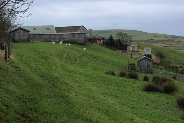
Heb Clough, located in Lancashire, is a picturesque valley known for its exceptional natural beauty and charming surroundings. Nestled amidst the stunning Pennine Hills, this valley offers a tranquil escape from the hustle and bustle of city life.

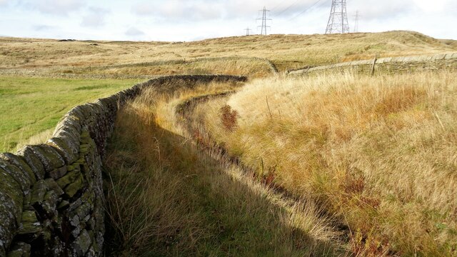
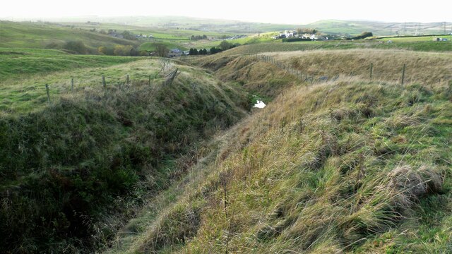
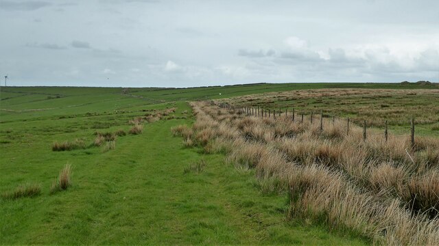
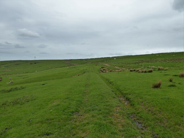
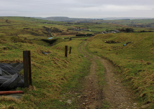
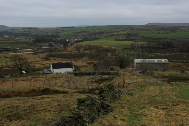
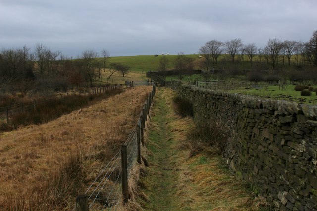
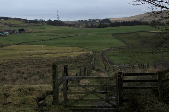
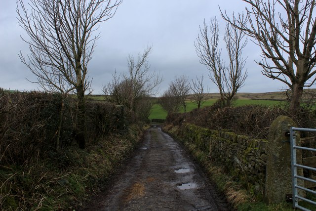
The valley is characterized by its lush green meadows, rolling hills, and dense woodlands, making it a haven for nature lovers and outdoor enthusiasts. Heb Clough is crisscrossed by several streams and rivers, which add to its ethereal charm. These water bodies, including the River Calder and Clough Brook, provide ample opportunities for fishing and other water-based activities.

The valley is home to a variety of wildlife, including deer, foxes, rabbits, and an array of bird species. It is a popular spot for birdwatchers, who can spot species such as kingfishers, owls, and herons in their natural habitat.

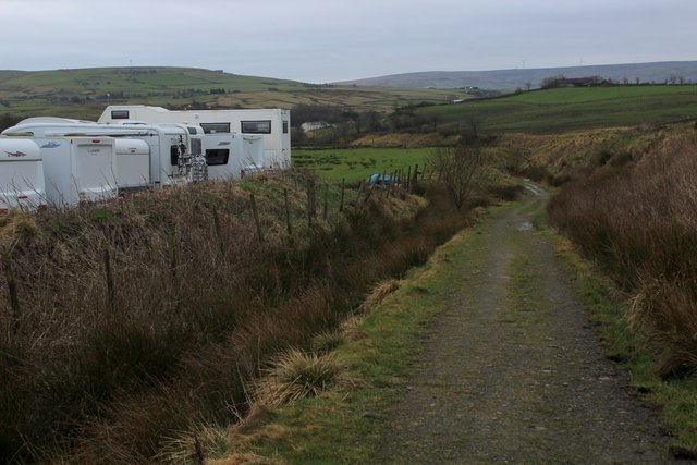
Walking and hiking trails are abundant in Heb Clough, offering visitors ample opportunities to explore the valley's stunning landscapes. The Pennine Way, a long-distance footpath, passes through the valley, attracting hikers from far and wide.

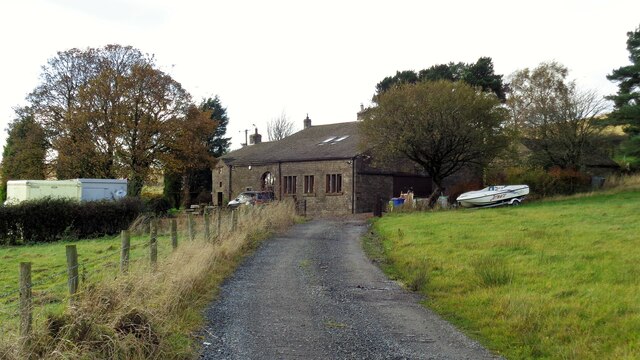
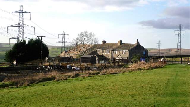
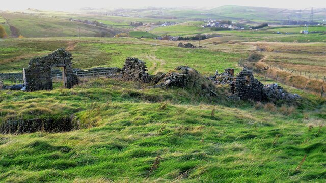
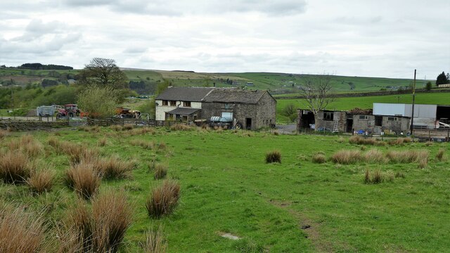
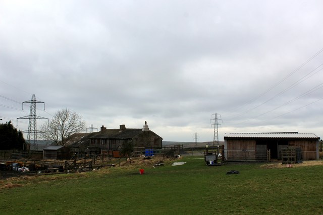
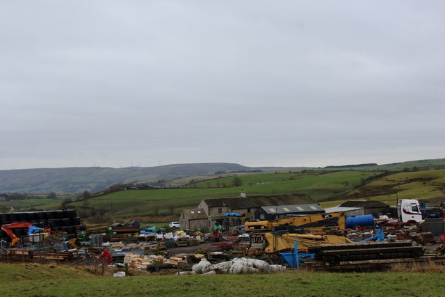
Heb Clough is also known for its rich cultural heritage. It is dotted with historical landmarks, including ancient ruins and centuries-old farmhouses, providing a glimpse into the region's past.

Visitors to Heb Clough can enjoy the tranquility of the valley, indulge in outdoor activities, or simply immerse themselves in the natural beauty that surrounds them. It is a true gem in Lancashire, offering a serene and idyllic escape for those seeking a break from urban life.

If you have any feedback on the listing, please let us know in the comments section below.

Heb Clough Images

Images are sourced within 2km of 53.724399/-2.2374306 or Grid Reference SD8425. Thanks to Geograph Open Source API. All images are credited.

Reservoir Catchwater For Clough Bottom Reservoir
Reservoir Catchwater
For Clough Bottom Reservoir
Approaching Swallow Shore
Approaching Clifton On the Rossendale Way
Approaching Clifton
On the Rossendale Way
A side clough of Shepherd Clough An unnamed clough south of Clifton and on a path that has been a public right of way but seems to have been extinguished as such around Clifton. There is a stile into the clough coming from the south but no proper facility out to approach Clifton
A side clough of Shepherd Clough
An unnamed clough south of Clifton and on a path that has been a public right of way but seems to have been extinguished as such around Clifton. There is a stile into the clough coming from the south but no proper facility out to approach Clifton
Remains of Dean Head There are two distinct ruins at Dean Head and this is the building to the north
Remains of Dean Head
There are two distinct ruins at Dean Head and this is the building to the north
Track on the hillside above Brex Farm The track runs along the side of  the fenced off rough open access land
Track on the hillside above Brex Farm
The track runs along the side of the fenced off rough open access land
Track on the hillside above Middle Brex Farm The track continues past the wind turbine on the horizon to Far and Middle Bank End
Track on the hillside above Middle Brex Farm
The track continues past the wind turbine on the horizon to Far and Middle Bank End
Lower Bridge Clough Upland farm viewed from old path around Hey Meadow
Lower Bridge Clough
Upland farm viewed from old path around Hey Meadow
Clifton Farm Approaching Clifton Farm on the Rossendale Way long distance footpath
Clifton Farm
Approaching Clifton Farm on the Rossendale Way long distance footpath
Two Empty Trailers beside the Rossendale Way Just north of Clifton, two enclosed trailers lie seemingly abandoned.
Two Empty Trailers beside the Rossendale Way
Just north of Clifton, two enclosed trailers lie seemingly abandoned.
Track descending towards Shepherd Clough Fine views to be admired as this track splits off from the Rossendale Way, near Clifton.
Track descending towards Shepherd Clough
Fine views to be admired as this track splits off from the Rossendale Way, near Clifton.
Rossendale Way descending to Meadows Farm The long distance footpath descending into a valley off high moorland, near the villages of Weir and Water.
Rossendale Way descending to Meadows Farm
The long distance footpath descending into a valley off high moorland, near the villages of Weir and Water.
Rossendale Way below Meadows Farm
Near Pastures Plant, machinery and all sorts to be found at New Pastures Farm - as seen from the Rossendale Way
Near Pastures
Plant, machinery and all sorts to be found at New Pastures Farm - as seen from the Rossendale Way
Pennine Bridleway by Far Pastures The long distance bridleway heading south towards the community of Lumb in Rossendaled
Pennine Bridleway by Far Pastures
The long distance bridleway heading south towards the community of Lumb in Rossendaled
Pennine Bridleway above the Village of Water The Pennine Bridleway is a new National Trail.
It runs roughly parallel with the Pennine Way but provides access for horseback riders and cyclists as well as walkers. The trail is around 205 miles long, extending from Derbyshire to Cumbria.
Wikipedia: <span class="nowrap"><a title="https://en.wikipedia.org/wiki/Pennine_Bridleway" rel="nofollow ugc noopener" href="https://en.wikipedia.org/wiki/Pennine_Bridleway">Link</a><img style="margin-left:2px;" alt="External link" title="External link - shift click to open in new window" src="https://s1.geograph.org.uk/img/external.png" width="10" height="10"/></span>
Pennine Bridleway above the Village of Water
The Pennine Bridleway is a new National Trail. It runs roughly parallel with the Pennine Way but provides access for horseback riders and cyclists as well as walkers. The trail is around 205 miles long, extending from Derbyshire to Cumbria. Wikipedia: LinkExternal link
Chamber Farm
Chamber Farm
Track leading away from Chamber Farm
Show me another place!

Heb Clough is located at Grid Ref: SD8425 (Lat: 53.724399, Lng: -2.2374306)

Administrative County: Lancashire

District: Rossendale

Police Authority: Lancashire

What 3 Words

///fondest.rinses.lifestyle. Near Bacup, Lancashire

Related Wikis

Water, Lancashire

Water is a hamlet in the borough of Rossendale, in Lancashire, England. Located north of the village of Lumb. It is mostly made of a few homes, farms,...

Lumb, Rawtenstall

Lumb is a small village in the Rossendale district of Lancashire, England. It lies in the valley of the Whitewell Brook, 3 miles (5 km) north east of Rawtenstall...

Whitewell Brook

Whitewell Brook is a minor river in Lancashire, England. It is 4.34 miles (6.99 km) long and has a catchment area of 7.67 square miles (19.86 km2). The...

Rossendale (UK Parliament constituency)

Rossendale was a parliamentary constituency in the Lancashire, England. Created in 1885, it elected one Member of Parliament (MP) to the House of Commons...

Nearby Amenities

Located within 500m of 53.724399,-2.2374306
Forest Holme
Place: hamlet
Source: npe
Lat/Long: 53.7238886/-2.2438552
Water
Place: village
Source: npe
Lat/Long: 53.7271926/-2.2413303
Cafe
The Water Trough
Addr City: Rossendale
Addr Housenumber: 1095
Addr Postcode: BB4 9QR
Addr Street: Burnley Road East
Cuisine: coffee_shop;breakfast;wine;brunch;lunch
Opening Hours: Tu-Th 08:30-16:30; Fr-Sa 09:00-22:00; Su 09:00-14:30
Outdoor Seating: no
Phone: +44 1706 231533
Website: https://www.watertrough.co.uk
Lat/Long: 53.7282723/-2.2411902
Pub
The Commercial
Lat/Long: 53.7278961/-2.2414413
Turning Circle
Lat/Long: 53.7238934/-2.2439101
Barrier: stile
Lat/Long: 53.7238539/-2.2361109
Generator Method: wind_turbine
Generator Output Electricity: yes
Generator Source: wind
Power: generator
Lat/Long: 53.7252473/-2.2353976
Barrier: stile
Lat/Long: 53.7227643/-2.235224
Barrier: stile
Lat/Long: 53.7222087/-2.2366883
Barrier: stile
Lat/Long: 53.7248406/-2.2365983
Barrier: stile
Lat/Long: 53.723994/-2.2349998
Barrier: stile
Lat/Long: 53.7212983/-2.2389993
Barrier: stile
Lat/Long: 53.7223919/-2.2348151
Barrier: stile
Lat/Long: 53.7240236/-2.2349001
Ford: yes
Lat/Long: 53.7246702/-2.231818
The data included in this document is from www.openstreetmap.org. The data is made available under ODbL.

Have you been to Heb Clough?

Leave your review of Heb Clough below (or comments, questions and feedback).