Powie's Den
Valley in Banffshire
Scotland
Powie's Den

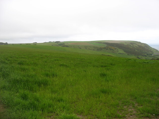
Powie's Den is a captivating valley located in the region of Banffshire, Scotland. Nestled amidst the picturesque countryside, this enchanting spot offers a tranquil escape from the bustling city life. The valley is renowned for its natural beauty, with rolling hills, lush greenery, and a meandering river that runs through its heart.
The den, or gorge, itself is a striking feature of Powie's Den. Carved out over centuries by the relentless force of water, the gorge showcases impressive rock formations and steep cliffs, adding to the valley's allure. Visitors can explore the den by following a well-maintained footpath that winds its way through the valley, offering breathtaking views at every turn.
Powie's Den also boasts a rich biodiversity, with a wide variety of plant and animal species calling this valley their home. Nature enthusiasts can spot rare birds, such as peregrine falcons and buzzards, soaring high above the valley. The vibrant wildflowers that carpet the valley floor, including bluebells and primroses, add a splash of color to the landscape during springtime.
For those seeking outdoor activities, Powie's Den offers numerous opportunities for hiking, picnicking, and photography. The valley's tranquil ambiance and stunning vistas make it a popular destination for nature lovers and photographers alike.
In conclusion, Powie's Den in Banffshire is an idyllic valley that captures the essence of Scotland's natural beauty. With its striking gorge, abundant wildlife, and captivating landscapes, this hidden gem is a must-visit for anyone looking to immerse themselves in the wonders of nature.
If you have any feedback on the listing, please let us know in the comments section below.
Powie's Den Images
Images are sourced within 2km of 57.669691/-2.33775 or Grid Reference NJ7964. Thanks to Geograph Open Source API. All images are credited.


Powie's Den is located at Grid Ref: NJ7964 (Lat: 57.669691, Lng: -2.33775)
Unitary Authority: Aberdeenshire
Police Authority: North East
What 3 Words
///increment.thunder.issues. Near Macduff, Aberdeenshire
Nearby Locations
Related Wikis

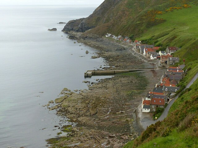
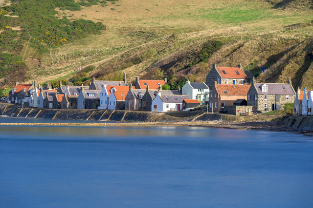
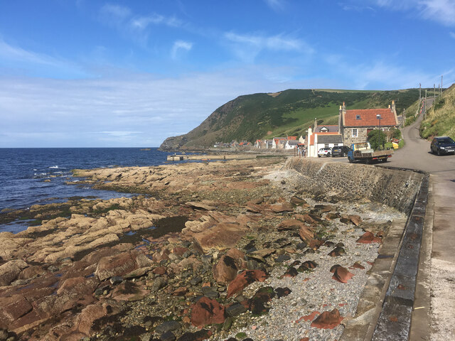
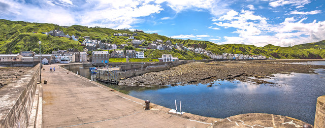
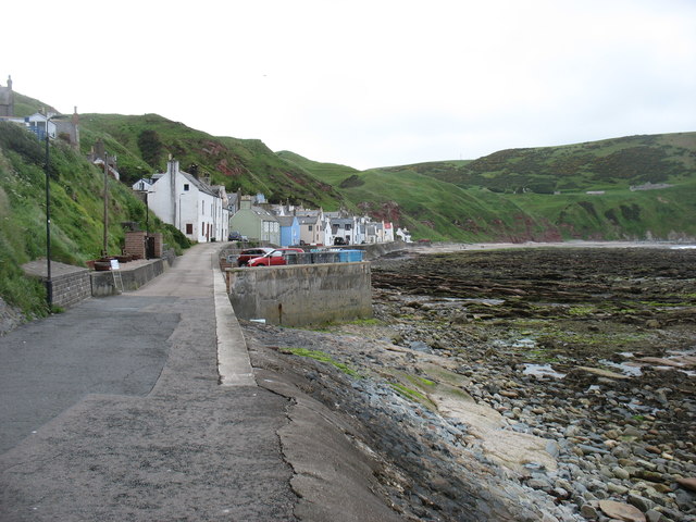
Gardenstown
Gardenstown (Scots: Gamrie) is a small coastal village, 8.7 miles (14.0 km) by road east of Banff in Aberdeenshire, northeastern Scotland. The village...

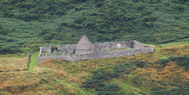
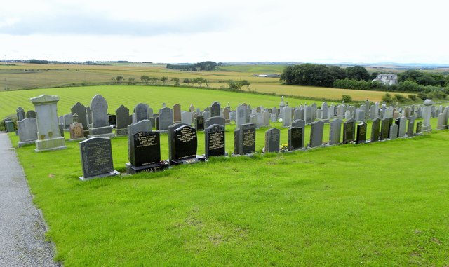
St John's Church, Gamrie
St John's Church is a ruined church and kirkyard in the parish of Gamrie, Aberdeenshire, Scotland. The church, dedicated to St John the Evangelist, was...

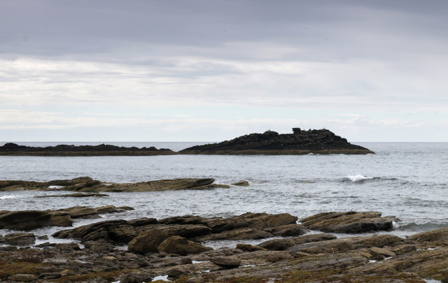
Gamrie Bay
Gamrie Bay is a bay in Aberdeenshire, Scotland. The bay is between Crovie Head and More Head. The villages of Gardenstown and Crovie are located within...

Dubford
Dubford is a small village in northern coastal Aberdeenshire, Scotland. Dubford is situated along the B9031 road approximately 6 kilometres (3.7 mi) east...
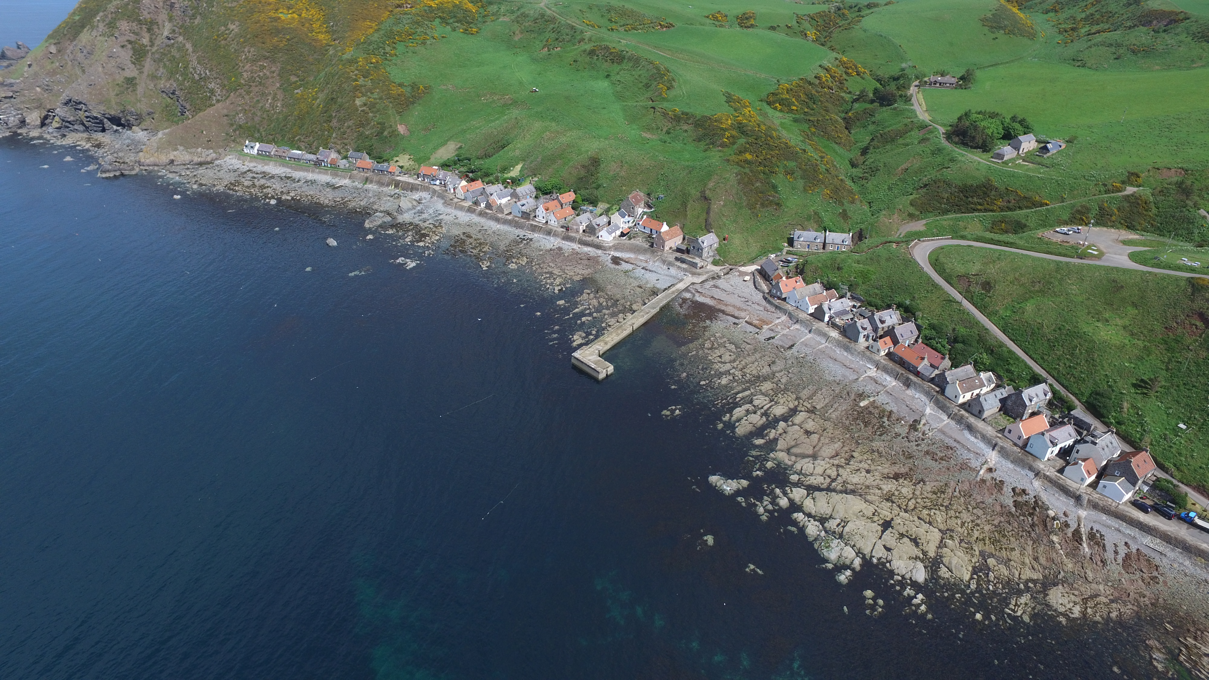
Crovie
Crovie is a small village in Aberdeenshire, Scotland, dating from the 18th century, a time when the sea was the only mode of transport to and from Scotland...

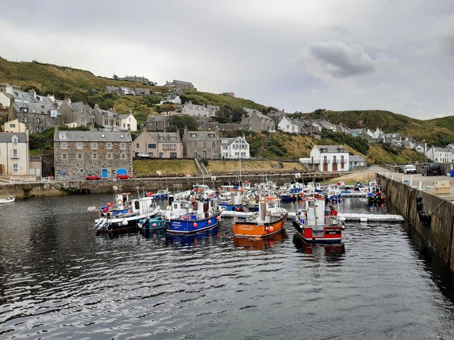
Pennan
Pennan (Scots: Peenan) is a small village in Aberdeenshire, Scotland, consisting of a small harbour and a single row of homes, including a hotel. It is...

Cairn Lee
Cairn Lee is a prehistoric monument in Aberdeenshire, Scotland. Cairn Lee and proximate Longman Hill are the oldest prehistoric features in the local area...

Netherbrae
Netherbrae is an area of farmland and small crofts in Aberdeenshire, Scotland. It is approximately 8 miles (13 km) north of Turriff and 9 miles (14 km...
Nearby Amenities
Located within 500m of 57.669691,-2.33775Have you been to Powie's Den?
Leave your review of Powie's Den below (or comments, questions and feedback).