Ashen Bottom
Valley in Lancashire Rossendale
England
Ashen Bottom
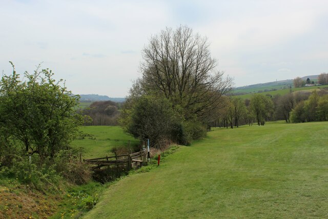
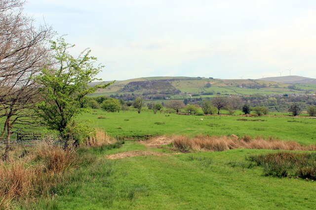
Ashen Bottom is a small valley located in the county of Lancashire, England. Situated in the northern part of the county, it is nestled within the rolling hills and picturesque countryside that Lancashire is renowned for. The valley stretches for approximately two miles and is surrounded by lush green meadows, dense woodlands, and charming rural landscapes.
The name "Ashen Bottom" is believed to originate from the Old English word "æsc," meaning ash tree, and "bōc," meaning bottom or valley. This suggests that the valley was once abundant with ash trees, which were likely a prominent feature of the area.
The valley is home to a diverse range of flora and fauna, with numerous species of plants, trees, and wildlife thriving in its natural habitat. It offers a tranquil escape for nature enthusiasts and provides opportunities for activities such as hiking, birdwatching, and photography.
Within the valley, there are a few scattered farmhouses and cottages, giving the area a peaceful and rural atmosphere. The local community is small but close-knit, with residents often engaging in village events and activities.
Ashen Bottom is situated near the town of Clitheroe, which is approximately five miles to the east. This proximity allows residents and visitors to easily access amenities, services, and transportation links.
Overall, Ashen Bottom in Lancashire offers a serene and idyllic setting, where nature and tranquility can be appreciated by all who visit or call it home.
If you have any feedback on the listing, please let us know in the comments section below.
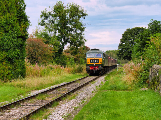
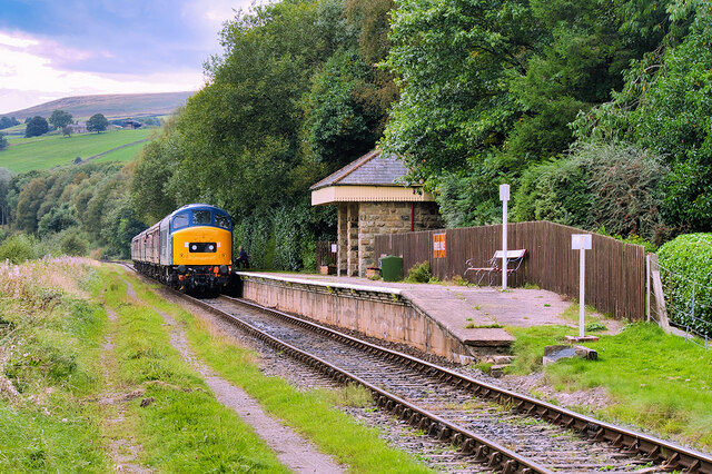
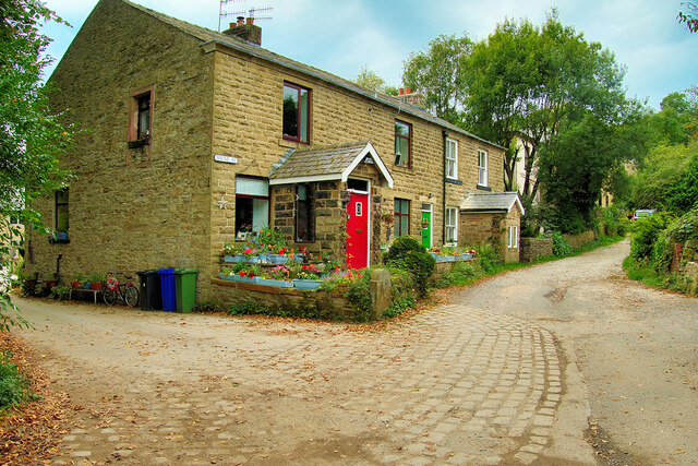
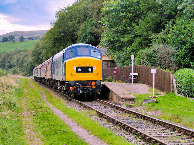
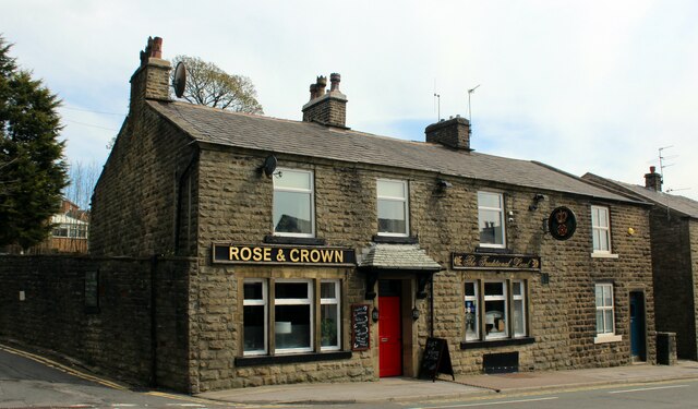
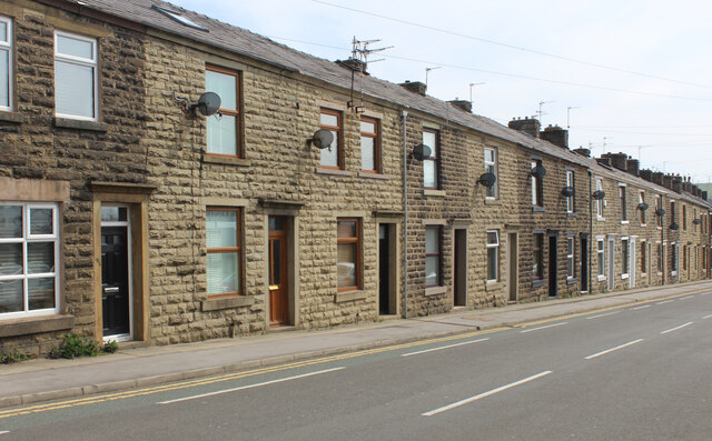
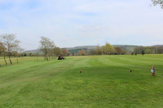
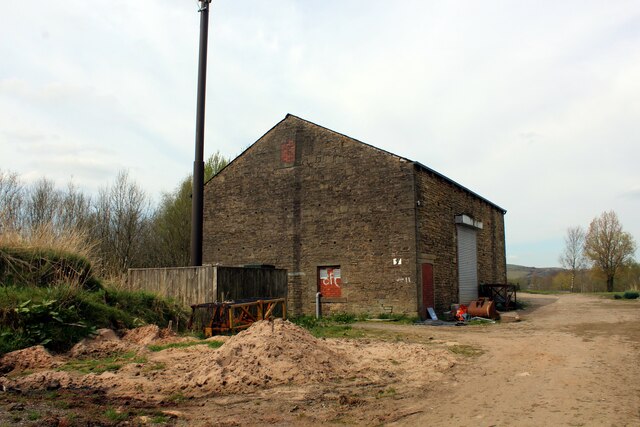
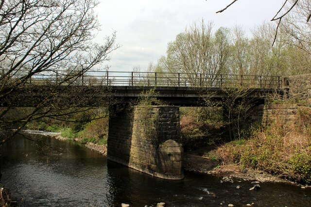
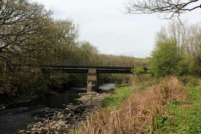
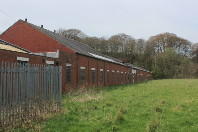
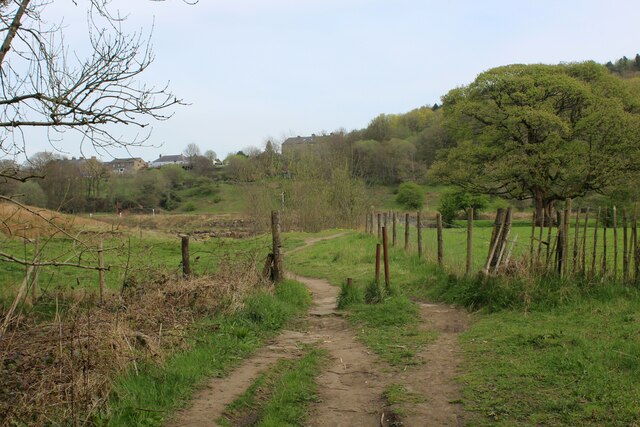
Ashen Bottom Images
Images are sourced within 2km of 53.68264/-2.308264 or Grid Reference SD7920. Thanks to Geograph Open Source API. All images are credited.
Ashen Bottom is located at Grid Ref: SD7920 (Lat: 53.68264, Lng: -2.308264)
Administrative County: Lancashire
District: Rossendale
Police Authority: Lancashire
What 3 Words
///breed.critic.safely. Near Edenfield, Lancashire
Nearby Locations
Related Wikis

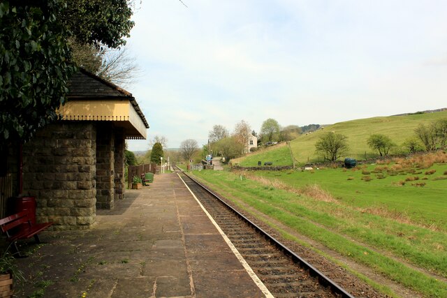
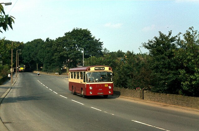
Ewood Bridge and Edenfield railway station
Ewood Bridge and Edenfield railway station served the village of Edenfield, Rossendale, Lancashire. == History == On 25 September 1916, a 179-metre (587...

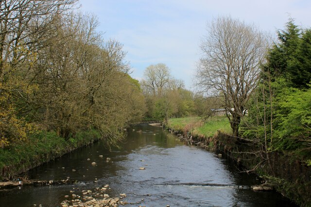
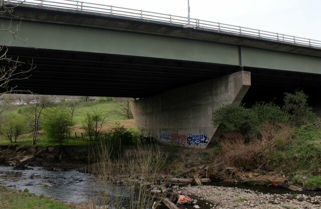
River Ogden
The River Ogden is a minor river in Lancashire, England. It is approximately 4.4 miles (7.1 km) long and has a catchment area of 9.77 square miles (25...
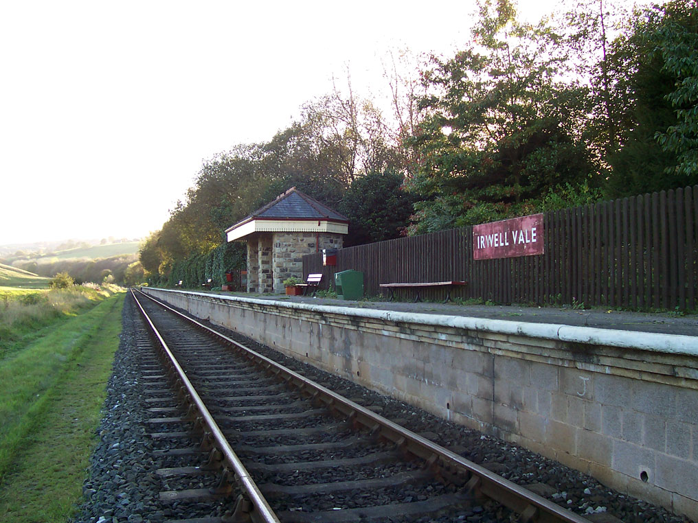
Irwell Vale railway station
Irwell Vale railway station is a station built as part of the East Lancashire Railway. It serves the small village of Irwell Vale in Rossendale, Lancashire...

Irwell Vale
Irwell Vale is a village within the Rossendale borough of Lancashire, in North West England. which lies at the confluence of the River Ogden and River...
Related Videos
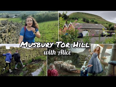
Musbury Tor Hill in Rossendale with Lewis Carroll's Alice - hiking with a difference
4.5 mile ( 706 ft)circular hike in Rossendale, Lancashire, England up Musbury Tor Hill from the village of Helmshore.

Cribden Hill and The Halo Panopticon, Rossendale, Lancashire
Cribden Hill is part of Cribden Moors and not far from Haslingden, off the A680. Whilst the walk starts behind Winfields Outdoors ...

HIKING IN STRONG WINDS VLOG || CLOUDY DAY IN LANCASHIRE || #4k #youtuber #adventure
Come along with me to hike in rain! The real side of Lancashire, MUSBUR TOR in HELMSHORE.

Travel to Lancashire- The Halo
This time The Ospreys are going to show you The Halo, which is situated in Rossendale, Lancashire. It is a wonderful panopticon ...
Nearby Amenities
Located within 500m of 53.68264,-2.308264Have you been to Ashen Bottom?
Leave your review of Ashen Bottom below (or comments, questions and feedback).