Cherme's Dingle
Valley in Shropshire
England
Cherme's Dingle
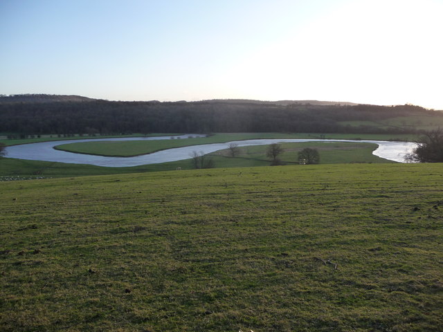
Cherme's Dingle is a picturesque valley located in the county of Shropshire, England. Nestled amidst rolling hills and lush greenery, this hidden gem offers visitors a tranquil retreat away from the hustle and bustle of city life. The dingle is situated near the village of Cherme, which lends its name to the valley.
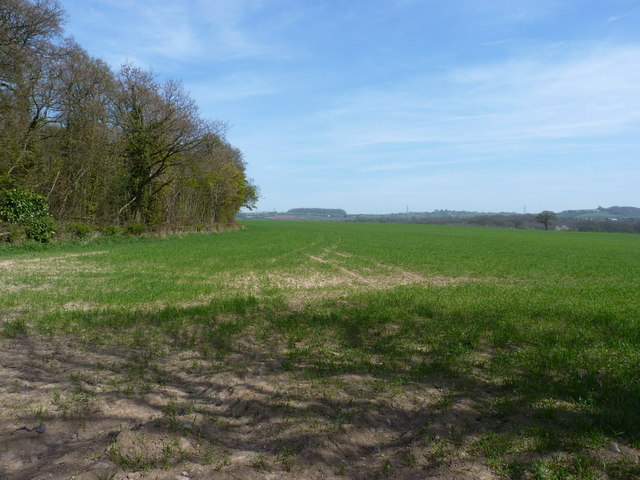
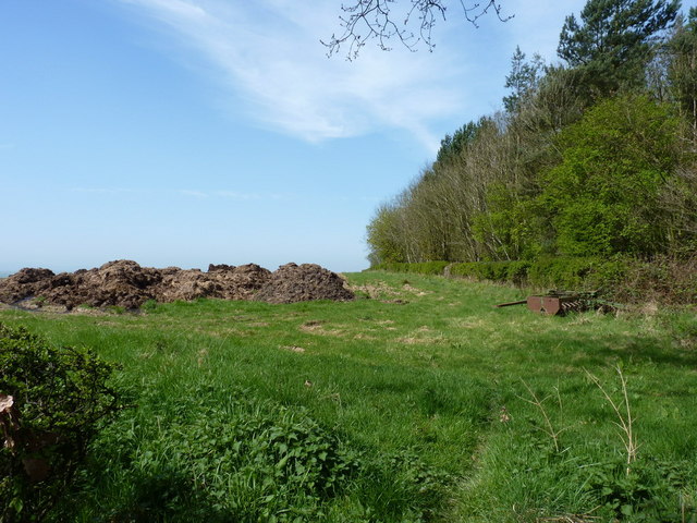
The natural beauty of Cherme's Dingle is unparalleled, with its meandering stream, dense woodlands, and breathtaking views. The valley is a haven for wildlife enthusiasts, as it is home to a diverse range of flora and fauna. Visitors can spot various species of birds, small mammals, and even rare plants that thrive in this untouched habitat.
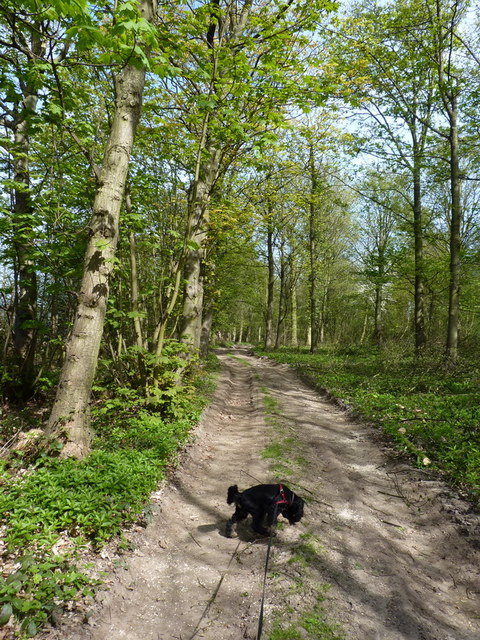
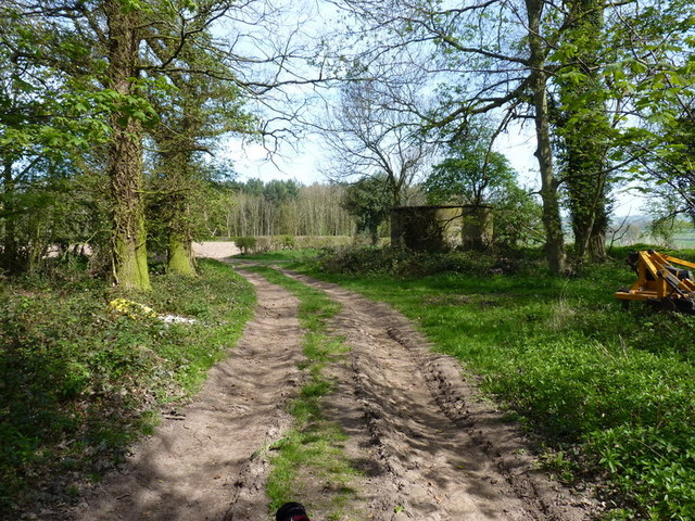
Exploring Cherme's Dingle is a delight for outdoor enthusiasts. There are several trails and footpaths that wind through the valley, allowing visitors to fully immerse themselves in its natural splendor. The dingle's stream provides a soothing soundtrack as it cascades over rocks, adding to the peaceful ambiance.
For those seeking a peaceful picnic spot or a peaceful spot to relax, Cherme's Dingle has numerous grassy areas and picnic benches available. The valley is also a popular spot for nature photography, with its picturesque landscapes providing endless opportunities for capturing stunning shots.
Cherme's Dingle offers an idyllic escape for nature lovers and those looking to recharge in a serene environment. Its unspoiled beauty and tranquil atmosphere make it a must-visit destination for anyone exploring the Shropshire countryside.
If you have any feedback on the listing, please let us know in the comments section below.
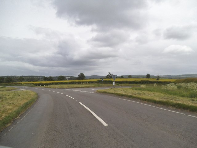
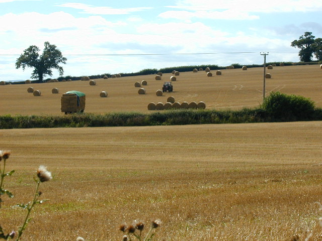
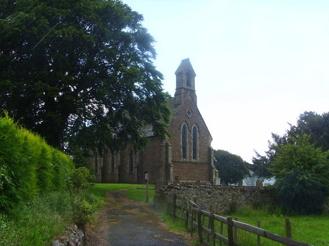
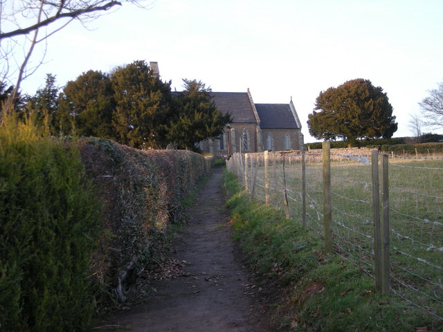
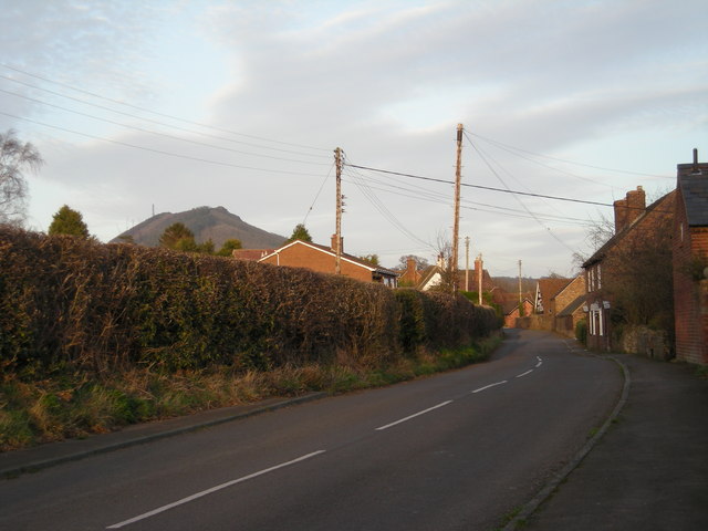
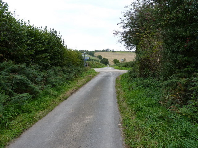
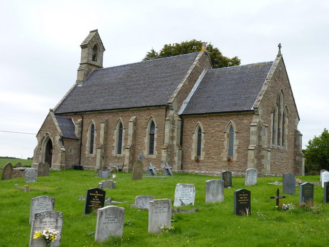
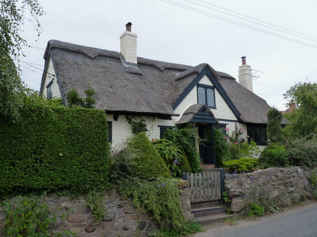
Cherme's Dingle Images
Images are sourced within 2km of 52.656122/-2.5736217 or Grid Reference SJ6106. Thanks to Geograph Open Source API. All images are credited.

Cherme's Dingle is located at Grid Ref: SJ6106 (Lat: 52.656122, Lng: -2.5736217)
Unitary Authority: Shropshire
Police Authority: West Mercia
What 3 Words
///parks.farms.generated. Near Wellington, Shropshire
Nearby Locations
Related Wikis

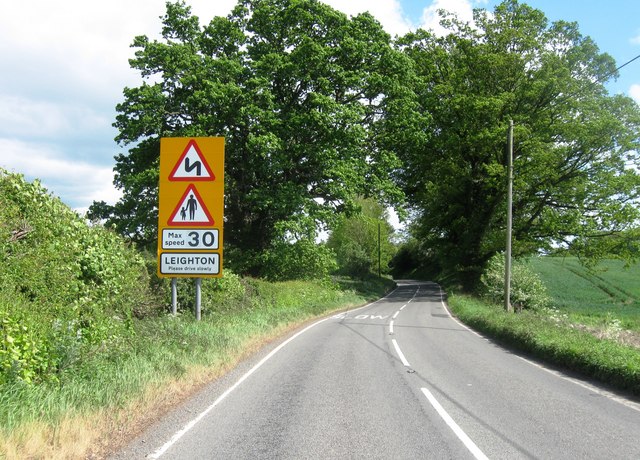
Leighton and Eaton Constantine
Leighton and Eaton Constantine is a civil parish in Shropshire, England. It consists of the village of Leighton, together with the smaller villages or...

Eaton Constantine
Eaton Constantine is a small village and former civil parish, now in the parish of Leighton and Eaton Constantine, in Shropshire, England. It is located...

The Wrekin
The Wrekin ( REE-kin) is a hill in east Shropshire, England. It is located some five miles (8 km) west of Telford, on the border between the unitary authorities...

Wrekin Terrane
The Wrekin Terrane is one of five inferred fault bounded terranes that make up the basement rocks of the southern United Kingdom. The other notable geological...
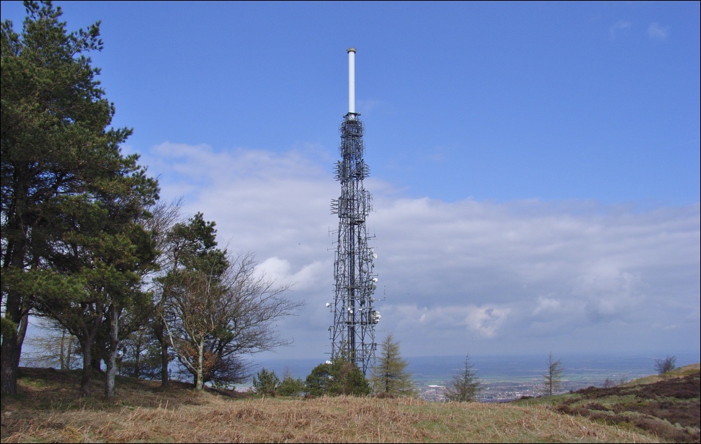
The Wrekin transmitting station
The Wrekin transmitting station is a telecommunications and broadcasting facility on The Wrekin, a hill in the county of Shropshire, England. It includes...

Sheinton
Sheinton is a small rural village and civil parish just outside Telford, and within Shropshire.It is situated on the south bank of the River Severn opposite...

Aston, Telford and Wrekin
Aston is a hamlet in Wrockwardine civil parish, Shropshire, England. == External links == Media related to Aston at Wikimedia Commons

Cressage railway station
Cressage railway station was a railway station on the Severn Valley Railway. It opened on 1 February 1862 with a single platform and a siding. By 1898...
Related Videos

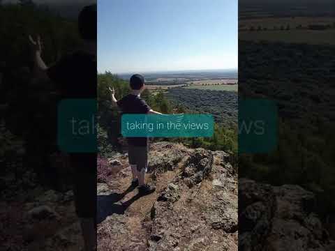
Adventures up The Wrekin #Adventures #travel #hike #Shropshire #explore #fun #hikerlife
adventures up The Wrekin. Wellington Little Wenlock, Telford TF6 5AL car park. #scrambling #adventures #Shropshire ...

MODELS ARE HIKING ON THE WREKIN,
it's great to be out in the sunny weather and great for the kiddos as well, we love to go hiking in the lovely mountains with the ...
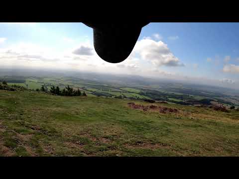
Walking on top of The Wrekin
On my way to a family weekend away in Shropshire, I stopped at The Wrekin with a view of getting my camera out and filming my ...
Nearby Amenities
Located within 500m of 52.656122,-2.5736217Have you been to Cherme's Dingle?
Leave your review of Cherme's Dingle below (or comments, questions and feedback).