Barrow Common
Settlement in Somerset
England
Barrow Common
Barrow Common is a picturesque village located in Somerset, England. Nestled in the heart of the picturesque countryside, this small community offers a peaceful and idyllic setting for its residents. The village is situated near the town of Bruton and is known for its stunning natural beauty and rich history.
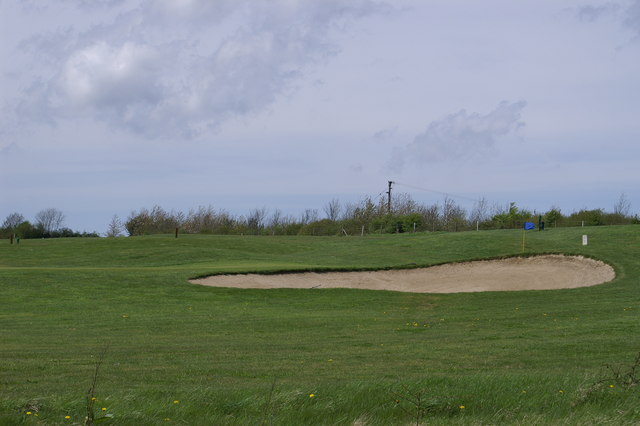
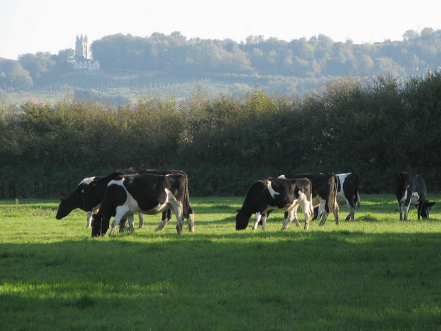
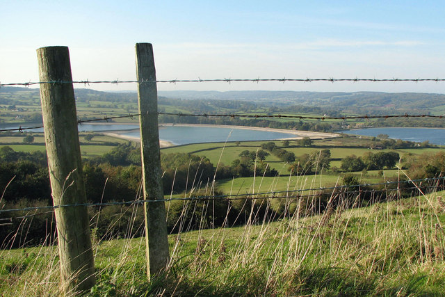
One of the main attractions of Barrow Common is its expansive common land, which is a designated area of outstanding natural beauty. This open space provides ample opportunities for outdoor activities such as walking, picnicking, and birdwatching. The common is also home to a variety of wildlife, including rabbits, foxes, and various species of birds.
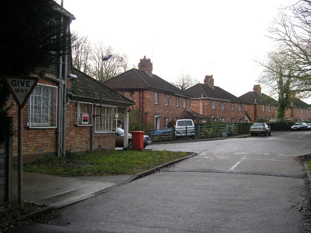
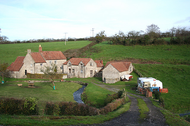
The village itself features a charming mix of traditional stone cottages and more modern houses. The local community is tightly knit and has a strong sense of pride in their village. The village green serves as a focal point for social gatherings and events throughout the year. There is also a small local pub, which is a popular spot for residents and visitors alike to enjoy a drink or a meal.
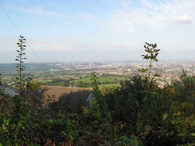
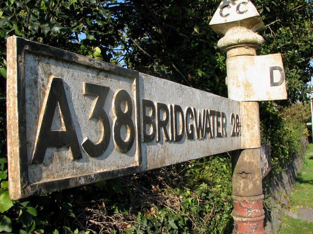
Barrow Common is conveniently located near several amenities. The nearby town of Bruton offers a range of shops, restaurants, and services, ensuring that residents have easy access to all their daily needs. Additionally, the village is within commuting distance of larger towns such as Bath and Bristol, making it an ideal location for those seeking a peaceful rural lifestyle with easy access to urban amenities.
In summary, Barrow Common is a beautiful village in Somerset that offers a tranquil and picturesque setting for its residents. With its stunning natural surroundings, strong community spirit, and convenient location, it is no wonder that this village is highly sought after by those looking for an idyllic country retreat.
If you have any feedback on the listing, please let us know in the comments section below.
Barrow Common Images
Images are sourced within 2km of 51.40697/-2.657153 or Grid Reference ST5467. Thanks to Geograph Open Source API. All images are credited.


Barrow Common is located at Grid Ref: ST5467 (Lat: 51.40697, Lng: -2.657153)
Unitary Authority: North Somerset
Police Authority: Avon and Somerset
What 3 Words
///tour.canny.influencing. Near Dundry, Somerset
Nearby Locations
Related Wikis

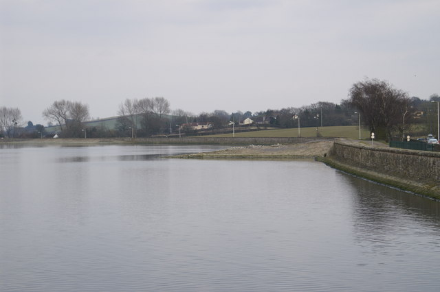
Barrow Gurney Reservoirs
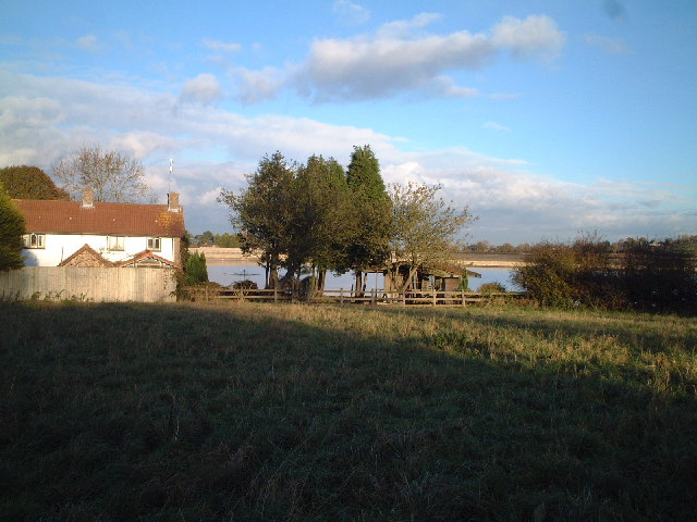
Barrow Gurney Reservoirs (grid reference ST5468) (also known as Barrow Gurney Tanks or Barrow Tanks) are three artificial reservoirs for drinking water...

Barrow Gurney
Barrow Gurney is a village and civil parish in Somerset, England, situated in the unitary authority of North Somerset on the B3130, midway between the...

Barrow Gurney Nunnery
Barrow Gurney Nunnery (also called Minchin Barrow) was established around 1200 in Barrow Gurney Somerset, England. The Benedictine convent was founded...

Barrow Hospital
Barrow Hospital (sometimes referred to as Barrow Gurney Hospital, or Barrow Gurney Psychiatric Institution) was a psychiatric hospital in Barrow Gurney...

Dundry Hill
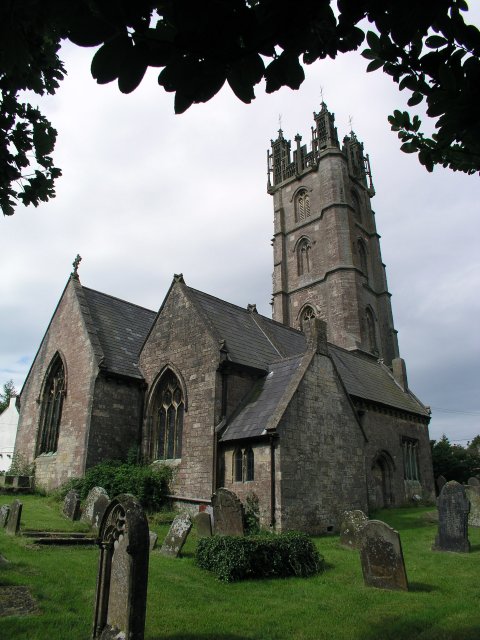
Dundry Hill is immediately south of Bristol, England: it includes farmland, a small number of houses and a church. It stretches east–west for some two...

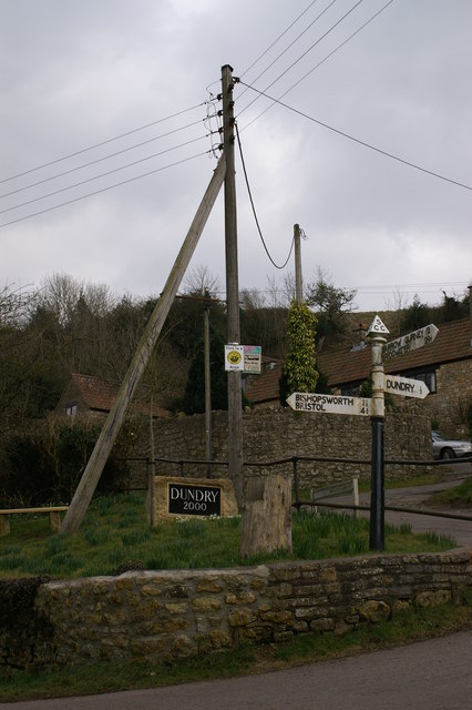
Dundry
Dundry is a village and civil parish, situated on Dundry Hill in the northern part of the Mendip Hills, between Bristol and the Chew Valley Lake, in the...

Hartcliff Rocks Quarry
Hartcliff Rocks Quarry (grid reference ST534662) is a 1.6 hectare (3.9 acre) Site of Special Scientific Interest (SSSI) near Felton, Somerset notified...

Barns Batch Spinney
Barns Batch Spinney (grid reference ST557659) is a 0.06-hectare geological Site of Special Scientific Interest near the village of Dundry, North Somerset...
Nearby Amenities
Located within 500m of 51.40697,-2.657153Have you been to Barrow Common?
Leave your review of Barrow Common below (or comments, questions and feedback).