Cwm Einion

Valley in Montgomeryshire

Wales

Cwm Einion

Minor road near Pontrobert
Minor road near Pontrobert Credit: Steven Brown

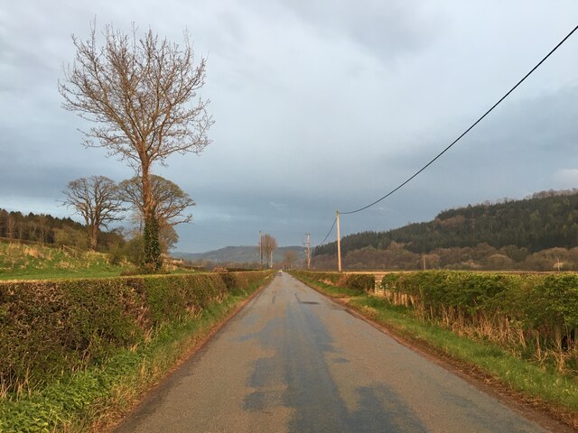
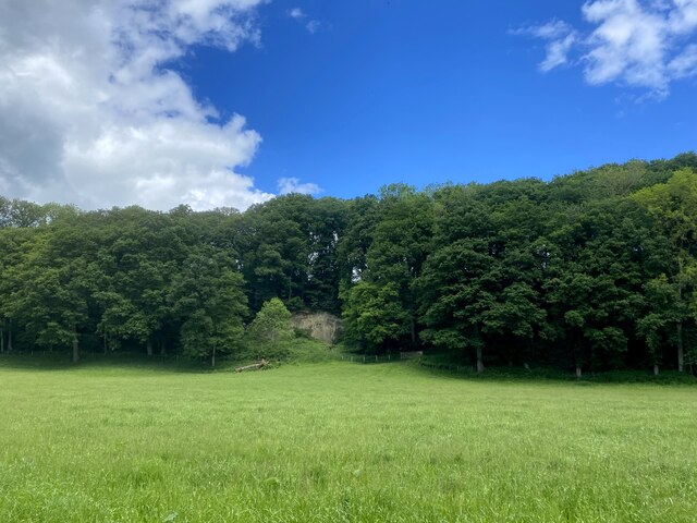
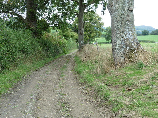
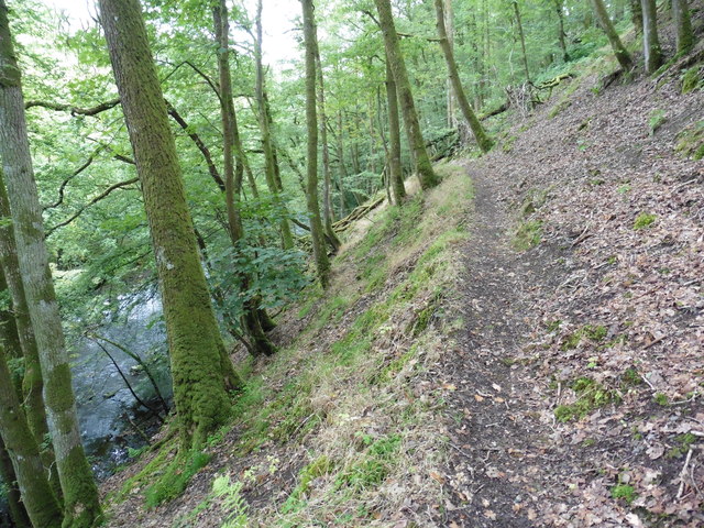
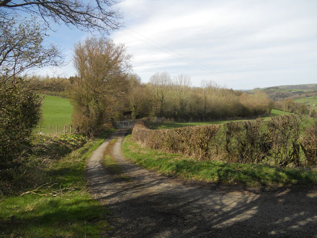
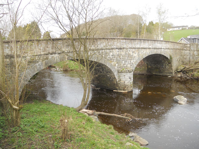
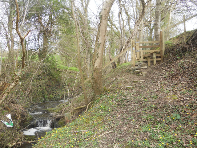
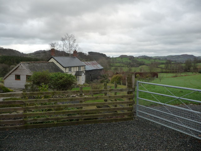
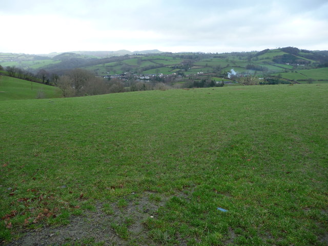
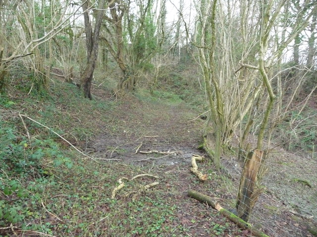
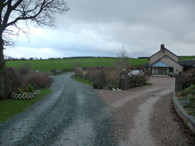
Cwm Einion is a picturesque valley located in Montgomeryshire, Wales. The valley is characterized by its rolling hills, lush green meadows, and a meandering river that flows through the center. Cwm Einion is surrounded by dense woodlands, providing a tranquil and secluded atmosphere for visitors to enjoy.

The valley is home to a variety of wildlife, including red kites, buzzards, and otters, making it a popular destination for nature lovers and birdwatchers. The river that runs through Cwm Einion is known for its clear waters and abundance of fish, making it a popular spot for fishing enthusiasts.

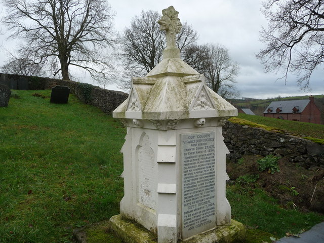
Cwm Einion is also steeped in history, with several ancient ruins and archaeological sites scattered throughout the valley. Visitors can explore these ruins and learn about the rich history of the area.

Overall, Cwm Einion is a beautiful and serene valley that offers a peaceful retreat from the hustle and bustle of everyday life. Whether you enjoy hiking, birdwatching, or simply taking in the stunning scenery, Cwm Einion has something to offer for everyone.

If you have any feedback on the listing, please let us know in the comments section below.
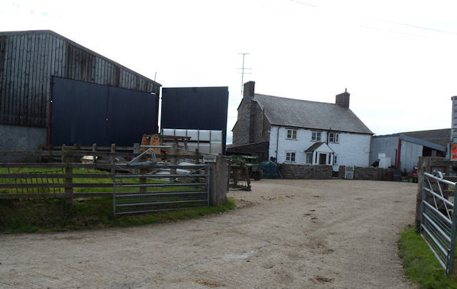
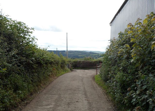
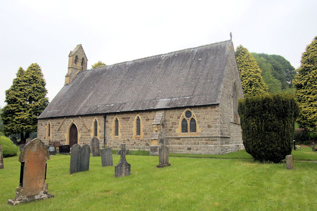
Cwm Einion Images

Images are sourced within 2km of 52.705462/-3.3370835 or Grid Reference SJ0912. Thanks to Geograph Open Source API. All images are credited.

Minor road near Pontrobert
Field and wood
Field and wood
Tractor and trailer in muddy farmyard At Y Fferm, Pontrobert.
Tractor and trailer in muddy farmyard
At Y Fferm, Pontrobert.
Glyndwr's Way at Pontrobert
Glyndwr's Way near Pontrobert
Ordnance Survey Cut Mark This OS cut mark can be found at the west end of the bridge. It marks a point 106.255m above mean sea level.
Ordnance Survey Cut Mark
This OS cut mark can be found at the west end of the bridge. It marks a point 106.255m above mean sea level.
Glyndwr's Way near Dolanog
Track to a farmhouse
The bridge at Pontrobert
Footpath beside a stream
The Hen Gapel at Pontrobert Yet another chapel slipping into obscurity?
The Hen Gapel at Pontrobert
Yet another chapel slipping into obscurity?
Graveyard memorial to John Hughes, Ruth Hughes and Ann Griffiths A memorial dating from just after the heyday of the Methodist movement in this location.
Graveyard memorial to John Hughes, Ruth Hughes and Ann Griffiths
A memorial dating from just after the heyday of the Methodist movement in this location.
Bryn-y-fedwen near Pontrobert Small holding in a quiet rural spot with lovely countryside on all sides.
Bryn-y-fedwen near Pontrobert
Small holding in a quiet rural spot with lovely countryside on all sides.
Field above Pontrobert A nice view down onto the village from high pastures.
Field above Pontrobert
A nice view down onto the village from high pastures.
Trackway above Pontrobert A muddy and occasionally wet trackway contours around the hillside here. It is also a bridleway but doesn't seem to get ridden very much.
Trackway above Pontrobert
A muddy and occasionally wet trackway contours around the hillside here. It is also a bridleway but doesn't seem to get ridden very much.
Rhos Cynhista farm above Pontrobert An immaculately well kept farm house, albeit a modern one.
Rhos Cynhista farm above Pontrobert
An immaculately well kept farm house, albeit a modern one.
Pendugwm Farm from access road
Minor road passing Pendugwm
Show me another place!

Cwm Einion is located at Grid Ref: SJ0912 (Lat: 52.705462, Lng: -3.3370835)

Unitary Authority: Powys

Police Authority: Dyfed Powys

What 3 Words

///recap.scorching.contoured. Near Llanfair Caereinion, Powys

Nearby Locations

Cwm Einion

Related Wikis

Pontrobert

Pontrobert is an ecclesiastical parish that was formed in September 1854. It comprises the townships of Teirtref and part of Nantymeichiaid in the parish...

Dolobran, Montgomeryshire

Dolobran, in the county of Montgomeryshire (now Powys) in Wales, is a historic estate which was the earliest known seat of the expansive Lloyd family,...

Dolanog

Dolanog () or Pont Dolanog is an ecclesiastical parish or chapelry that was formed in October 1856. It comprises the townships of Dolwar in Llanfihangel...

Caereinion

Caereinion (fort of Einion) was a medieval cantref in the Kingdom of Powys, or possibly it was a commote (cwmwd) within a cantref called Llŷs Wynaf. It...

Nearby Amenities

Located within 500m of 52.705462,-3.3370835
Place: farm
Lat/Long: 52.7089429/-3.3395226
Direction: SE
Generator Method: photovoltaic
Generator Output Electricity: yes
Generator Solar Modules: 16
Generator Source: solar
Generator Type: solar_photovoltaic_panel
Location: roof
Power: generator
Lat/Long: 52.709096/-3.339656
Direction: SE
Generator Method: photovoltaic
Generator Output Electricity: yes
Generator Solar Modules: 21
Generator Source: solar
Generator Type: solar_photovoltaic_panel
Location: roof
Power: generator
Lat/Long: 52.7029383/-3.3337364
The data included in this document is from www.openstreetmap.org. The data is made available under ODbL.

Have you been to Cwm Einion?

Leave your review of Cwm Einion below (or comments, questions and feedback).