Cnoc Geumasgairbhe
Hill, Mountain in Inverness-shire
Scotland
Cnoc Geumasgairbhe
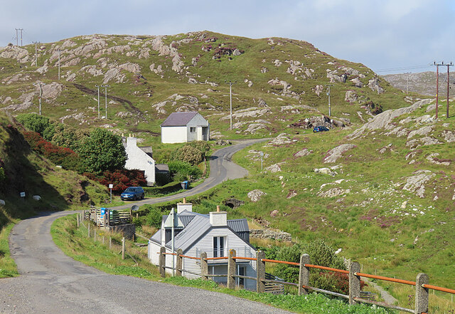
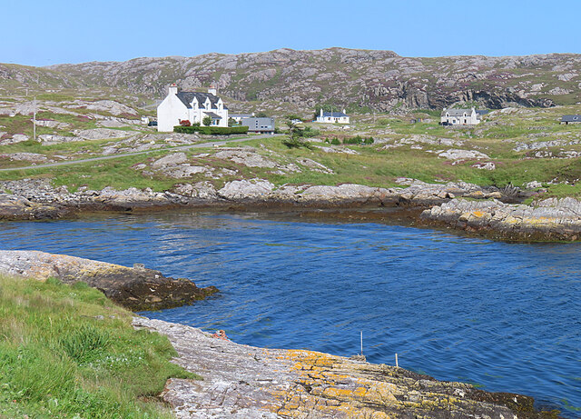
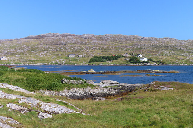
Cnoc Geumasgairbhe is a prominent hill located in Inverness-shire, Scotland. Situated in the picturesque Scottish Highlands, it is a popular destination for hikers, nature enthusiasts, and outdoor adventurers.
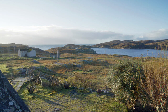
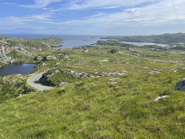
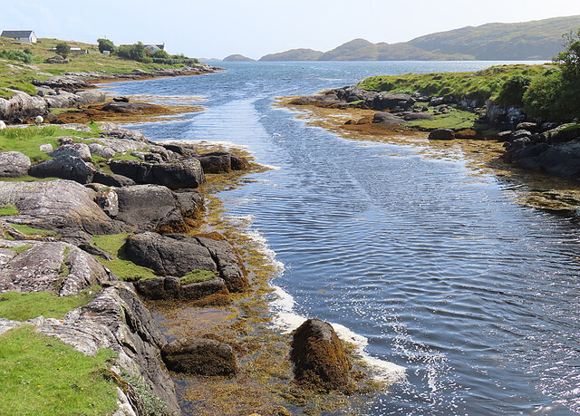
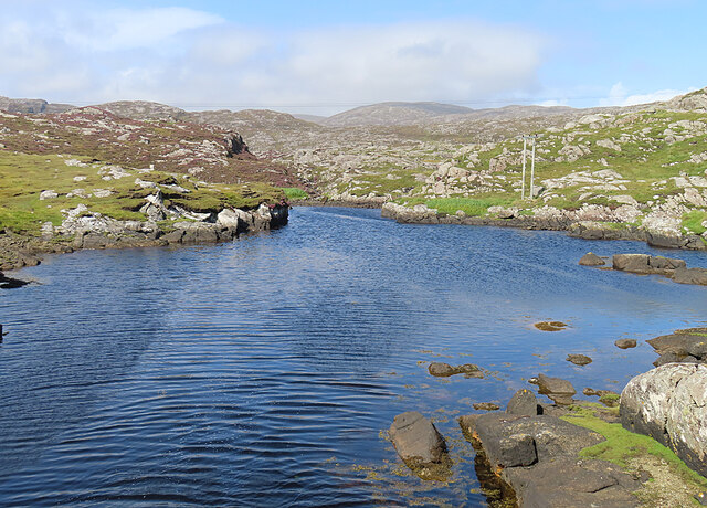
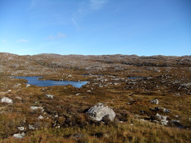
Standing at an elevation of approximately 680 meters (2,231 feet), Cnoc Geumasgairbhe offers breathtaking panoramic views of the surrounding landscape. From its summit, visitors can marvel at the awe-inspiring vistas of the rugged mountains, verdant valleys, and sparkling lochs that characterize the region.
The hill is known for its diverse flora and fauna, with a variety of plant species and wildlife inhabiting its slopes. Hikers can expect to encounter heather, mosses, and wildflowers while exploring the hillside. Birds such as golden eagles, peregrine falcons, and red grouse can also be spotted soaring through the skies above.
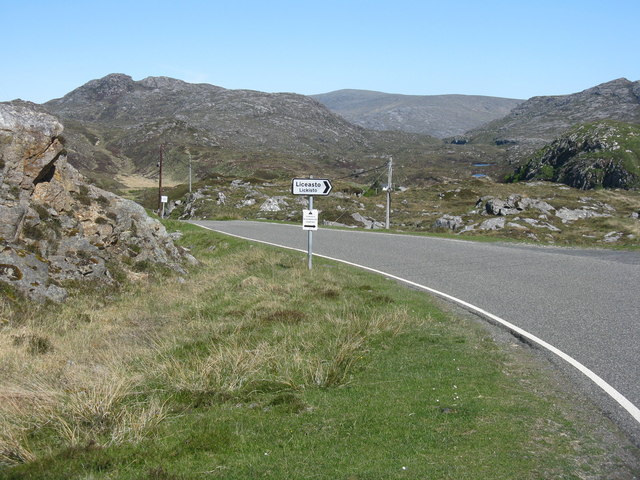
The ascent to Cnoc Geumasgairbhe is moderately challenging, with a well-defined trail leading to the summit. The hike offers a rewarding experience for both novice and experienced hikers, providing an opportunity to immerse oneself in the natural beauty of the Scottish Highlands.
The hill is accessible from nearby villages and towns, with parking facilities available for visitors. It is recommended to check weather conditions and bring appropriate clothing and footwear, as the Scottish Highlands can experience unpredictable weather patterns.
Cnoc Geumasgairbhe is a cherished natural landmark in Inverness-shire, offering visitors a chance to connect with the stunning beauty of the Scottish Highlands and enjoy a memorable outdoor adventure.
If you have any feedback on the listing, please let us know in the comments section below.
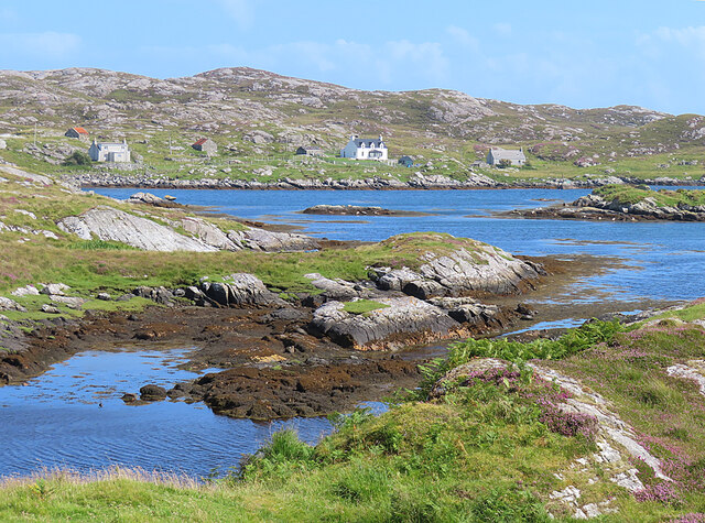
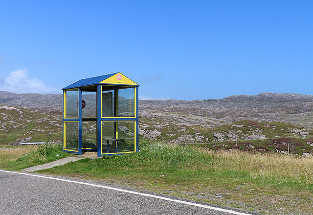
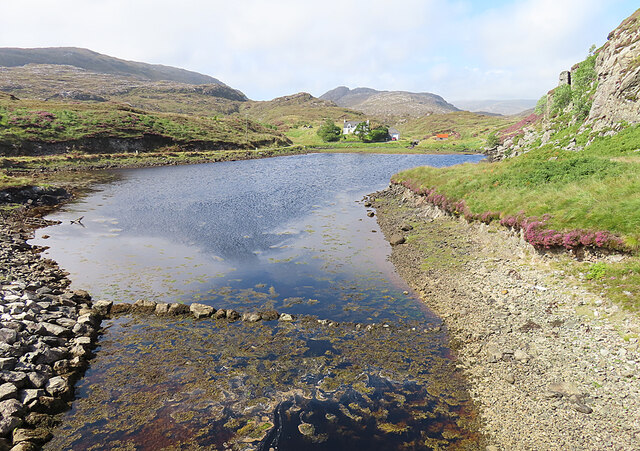
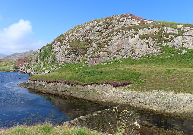
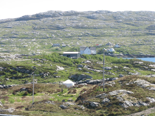
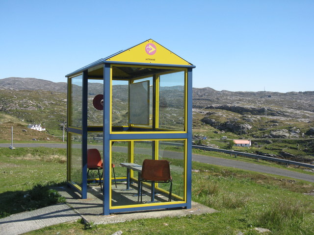
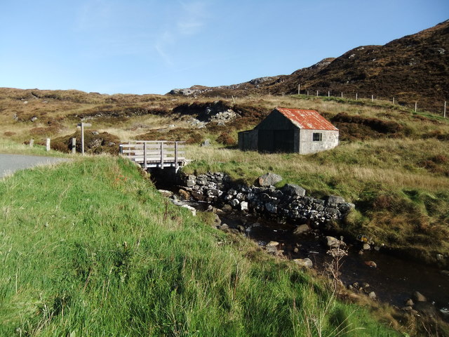
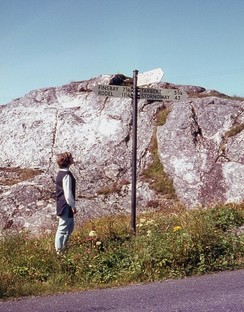
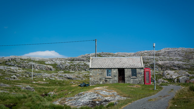
Cnoc Geumasgairbhe Images
Images are sourced within 2km of 57.823378/-6.8644819 or Grid Reference NG1191. Thanks to Geograph Open Source API. All images are credited.
Cnoc Geumasgairbhe is located at Grid Ref: NG1191 (Lat: 57.823378, Lng: -6.8644819)
Unitary Authority: Na h-Eileanan an Iar
Police Authority: Highlands and Islands
What 3 Words
///tame.aware.preheated. Near Tarbert, Na h-Eileanan Siar
Related Wikis

Stockinish Island
Stockinish Island (Scottish Gaelic: Eilean Stocainis) is an uninhabited island off Harris, in the Outer Hebrides. == Geography and geology == Stockinish...

Borsham
Borsham (Scottish Gaelic: Boirseam) is a village in the 'Bays' area of Harris in the Outer Hebrides, Scotland. Borsham is within the parish of Harris....

Lingarabay
Lingarabay (also Lingerabay or Lingerbay; Scottish Gaelic: Lingreabhagh) is a small coastal settlement on Harris, in the Outer Hebrides of Scotland. It...
Harris Superquarry
The Harris Super Quarry was a super quarry at Lingerbay, Harris, Scotland proposed by Redland Aggregates in 1991. The plan was to surface mine aggregate...

Luskentyre
Luskentyre (Scottish Gaelic: Losgaintir) is a sparse settlement on the west coast of Harris, in the Outer Hebrides, Scotland. Luskentyre is situated within...

East Loch Tarbert
East Loch Tarbert (Scottish Gaelic: Loch an Tairbeairt) is a sea loch that lies to the east of Harris in the Outer Hebrides of Scotland. The loch contains...

Borve, Harris
Borve (Scottish Gaelic: Na Buirgh) is a village in Harris in the Outer Hebrides, Scotland. Borve is also within the parish of Harris, and is on the A859...

Harris distillery
Harris distillery is a Scotch whisky and Gin distillery in Tarbert on the Isle of Harris, Scotland. The distillery was the first legal distillery ever...
Nearby Amenities
Located within 500m of 57.823378,-6.8644819Have you been to Cnoc Geumasgairbhe?
Leave your review of Cnoc Geumasgairbhe below (or comments, questions and feedback).