Cleite nan Caorach
Hill, Mountain in Ross-shire
Scotland
Cleite nan Caorach
Cleite nan Caorach is a hill located in the county of Ross-shire, in the Highland region of Scotland. With an elevation of 637 meters (2,089 feet), it is classified as a Corbett, which refers to a hill in Scotland between 2,500 and 3,000 feet.
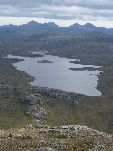
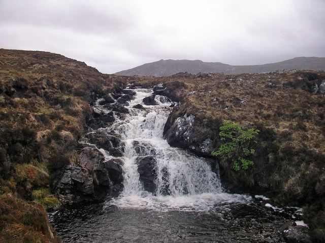
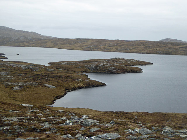
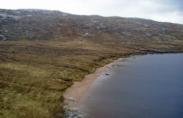
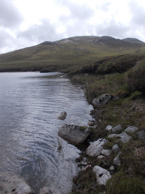
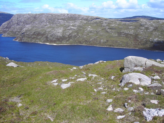
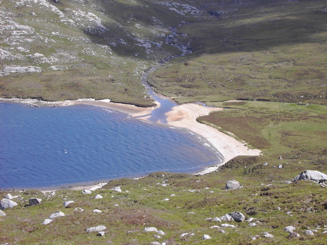
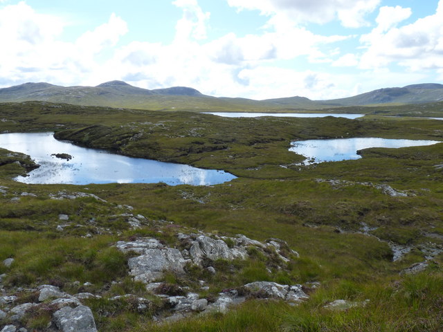
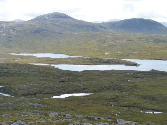
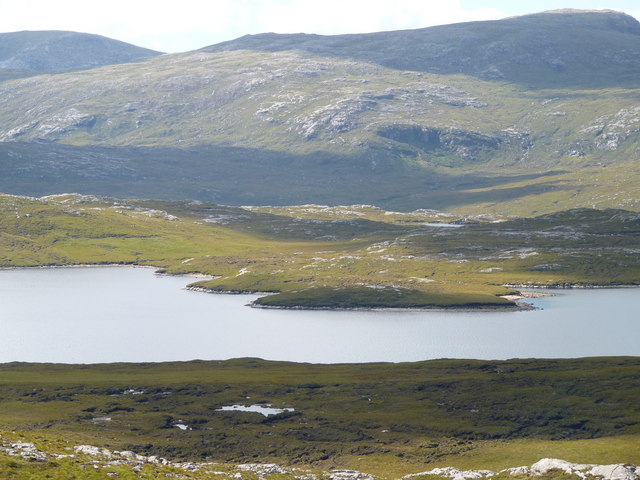
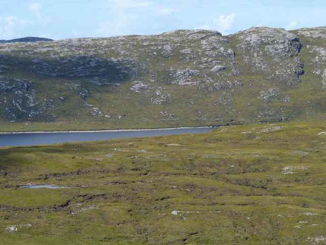
Situated in the northwest of Scotland, Cleite nan Caorach offers breathtaking panoramic views of the surrounding countryside. It is part of the Beinn Dearg mountain range, famous for its rugged and wild landscapes. The hill is characterized by its steep slopes covered in heather and grass, with scattered rocky outcrops adding to its dramatic appearance.
The summit of Cleite nan Caorach provides a fantastic vantage point, offering stunning vistas of the surrounding area. On a clear day, it is possible to see the nearby peaks of Beinn Dearg and Cona' Mheall, as well as the expansive coastline and the waters of the Minch.
This hill is a popular destination for hikers and outdoor enthusiasts who enjoy the challenge of ascending its slopes. There are various routes to reach the summit, some of which require a moderate level of fitness and navigation skills. The hill is best accessed from the nearby village of Ullapool, which provides a starting point for many hillwalking expeditions in the region.
Overall, Cleite nan Caorach is a stunning natural landmark in Ross-shire, offering visitors the opportunity to immerse themselves in Scotland's stunning scenery and experience the beauty of the Scottish Highlands.
If you have any feedback on the listing, please let us know in the comments section below.
Cleite nan Caorach Images
Images are sourced within 2km of 58.134007/-6.9589762 or Grid Reference NB0826. Thanks to Geograph Open Source API. All images are credited.
Cleite nan Caorach is located at Grid Ref: NB0826 (Lat: 58.134007, Lng: -6.9589762)
Unitary Authority: Na h-Eileanan an Iar
Police Authority: Highlands and Islands
What 3 Words
///octagon.promotion.scooped. Near Carloway, Na h-Eileanan Siar
Nearby Locations
Related Wikis

Gisla Hydro-Electric Scheme
Gisla Hydro-Electric Scheme was a small scheme promoted by the North of Scotland Hydro-Electric Board on the Isle of Lewis, Outer Hebrides, Scotland. It...

Gasker
Gasker is a small uninhabited islet in the Outer Hebrides of Scotland, 8 kilometres (4+1⁄2 nautical miles) southwest of Scarp, off the west coast of Harris...

Uig, Lewis
Uig (Scottish Gaelic: Ùig [uːkʲ]), also known as Sgìr' Ùig, is a civil parish and community in the west of the Isle of Lewis in the Outer Hebrides, Scotland...

Ardroil
Ardroil (Scottish Gaelic: Eadar Dhà Fhadhail) is a village on the Isle of Lewis in the Outer Hebrides, Scotland. Ardroil is within the parish of Uig....

Abhainn Dearg distillery
Abhainn Dearg distillery ( AV-in JAIRG) or Red River distillery is a Scotch whisky distillery in Uig, on the west coast of the Isle of Lewis in the Outer...
Flodaigh, Lewis
Flodaigh is a small island in Loch Roag on the west coast of Lewis in the Outer Hebrides of Scotland. It is about 33 hectares (82 acres) in extent and...

Timsgarry
Timsgarry (Scottish Gaelic: Tuimisgearraidh) is a village on the Isle of Lewis, in the Outer Hebrides, Scotland. Timsgarry is home to the Baile na Cille...
Fuaigh Beag
Fuaigh Beag or Vuia Be(a)g is an island in the Outer Hebrides. It is off the west coast of Lewis near Great Bernera in Loch Roag. Its name means "little...
Have you been to Cleite nan Caorach?
Leave your review of Cleite nan Caorach below (or comments, questions and feedback).