Cnoc Dubh
Hill, Mountain in Ross-shire
Scotland
Cnoc Dubh
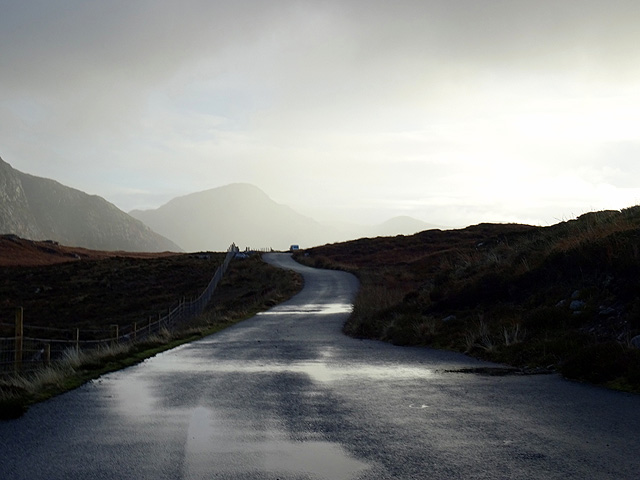
Cnoc Dubh is a prominent hill located in Ross-shire, Scotland. It stands at an elevation of approximately 610 meters (2,000 feet) above sea level and is a popular destination for hikers and outdoor enthusiasts. The hill is situated near the village of Achnasheen and offers breathtaking views of the surrounding countryside.
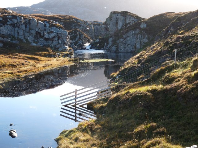
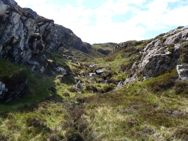
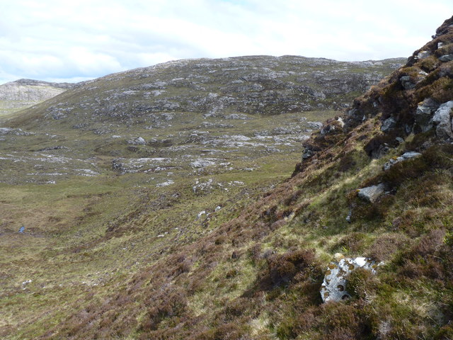
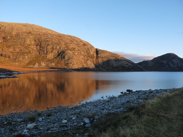
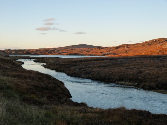
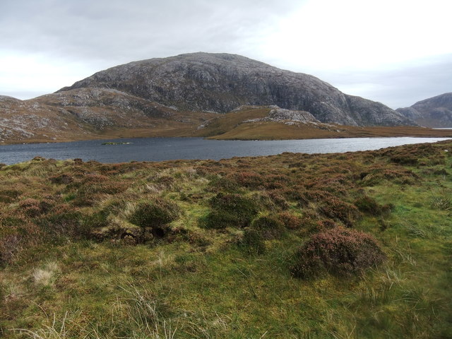
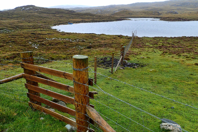
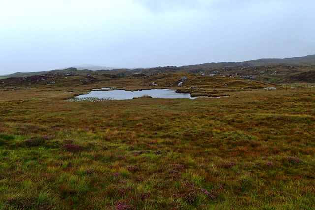
Cnoc Dubh is characterized by its rugged terrain, with steep slopes and rocky outcrops. The hill is covered in heather and grasses, providing a picturesque landscape during the summer months. It is also home to a variety of wildlife, including red deer, mountain hares, and various bird species.
Hiking to the summit of Cnoc Dubh is a challenging but rewarding experience. The ascent typically takes around 3-4 hours, depending on the chosen route and fitness levels. There are several paths leading to the top, each offering different levels of difficulty.
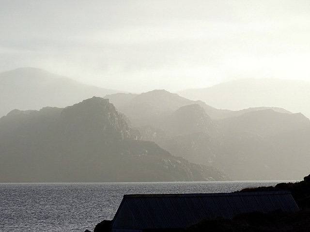
Once at the summit, visitors are rewarded with stunning panoramic views of the Scottish Highlands. On a clear day, it is possible to see as far as the Isle of Skye and the Torridon Mountains. The hill also offers a glimpse into the region's rich history, with remnants of ancient settlements and stone structures dotting the landscape.
Overall, Cnoc Dubh is a must-visit destination for nature lovers and outdoor adventurers in Ross-shire. Its challenging terrain, diverse wildlife, and breathtaking views make it a memorable experience for all who venture to its summit.
If you have any feedback on the listing, please let us know in the comments section below.
Cnoc Dubh Images
Images are sourced within 2km of 58.179899/-6.9765014 or Grid Reference NB0732. Thanks to Geograph Open Source API. All images are credited.
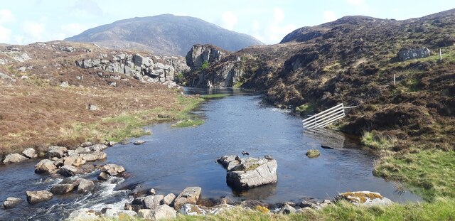
![Suaineabhal Summit Climbed with Dagnis Dancitis, Glen and Otis Laws on a sunny Saturday afternoon. Walked over the rocks by the weir then followed a bit of a path towards the summit passing Anne, Eric, Campbell and Mat on the way.
Name: Suaineabhal [Suainaval]
Hill number: 1567
Height: 428m / 1404ft
Section: 24A: Lewis and Nearby Islands
County/UA: Na h-Eileanan Siar [Western Isles] (UA)
Island: Lewis and Harris
Class: Marilyn, HuMP, Tump (400-499m)
Grid ref: NB 07797 30878
Summit feature: rock 20m SE of cairn
Drop: 313m
Col: 115m NB085260](https://s3.geograph.org.uk/geophotos/04/18/39/4183999_7cdbdfc4.jpg)

Cnoc Dubh is located at Grid Ref: NB0732 (Lat: 58.179899, Lng: -6.9765014)
Unitary Authority: Na h-Eileanan an Iar
Police Authority: Highlands and Islands
What 3 Words
///phantom.primary.longingly. Near Carloway, Na h-Eileanan Siar
Nearby Locations
Related Wikis

Uig, Lewis
Uig (Scottish Gaelic: Ùig [uːkʲ]), also known as Sgìr' Ùig, is a civil parish and community in the west of the Isle of Lewis in the Outer Hebrides, Scotland...

Ardroil
Ardroil (Scottish Gaelic: Eadar Dhà Fhadhail) is a village on the Isle of Lewis in the Outer Hebrides, Scotland. Ardroil is within the parish of Uig....

Timsgarry
Timsgarry (Scottish Gaelic: Tuimisgearraidh) is a village on the Isle of Lewis, in the Outer Hebrides, Scotland. Timsgarry is home to the Baile na Cille...

Flodaigh, Lewis
Flodaigh is a small island in Loch Roag on the west coast of Lewis in the Outer Hebrides of Scotland. It is about 33 hectares (82 acres) in extent and...
Have you been to Cnoc Dubh?
Leave your review of Cnoc Dubh below (or comments, questions and feedback).