Sgùrr an Dùin
Hill, Mountain in Inverness-shire
Scotland
Sgùrr an Dùin
Sgùrr an Dùin is a prominent hill/mountain located in the Inverness-shire region of Scotland. It is part of the wider Scottish Highlands, known for its rugged and picturesque landscapes. Standing at an elevation of approximately 918 meters (3012 feet), Sgùrr an Dùin offers breathtaking panoramic views of the surrounding area.
The hill/mountain is characterized by its steep slopes, rocky terrain, and narrow ridges. It is a popular destination for outdoor enthusiasts, including hikers and mountaineers, who are drawn to its challenging ascent and stunning vistas. The climb to the summit can be demanding and requires a good level of fitness and experience.
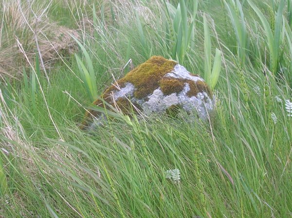
One of the notable features of Sgùrr an Dùin is its distinctive shape, resembling a pyramid when viewed from certain angles. This unique formation adds to the allure and charm of the hill/mountain.
The surrounding area is rich in wildlife and offers opportunities for nature lovers to spot various species of birds, including golden eagles and ptarmigans. Additionally, the hill/mountain is home to a diverse range of plant life, including heather and mosses.
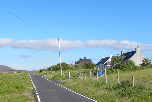
Access to Sgùrr an Dùin is typically gained from nearby Glenfinnan, a small village renowned for its historic viaduct and its association with the Jacobite uprising. Hikers can choose from several routes, each providing a different level of challenge and scenery.
Overall, Sgùrr an Dùin is a remarkable natural landmark in Inverness-shire, offering a rewarding experience for those seeking adventure and the chance to immerse themselves in the beauty of the Scottish Highlands.
If you have any feedback on the listing, please let us know in the comments section below.
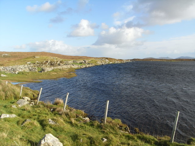
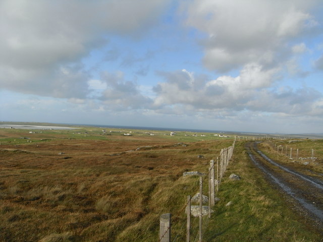
Sgùrr an Dùin Images
Images are sourced within 2km of 57.638865/-7.3416018 or Grid Reference NF8173. Thanks to Geograph Open Source API. All images are credited.
Sgùrr an Dùin is located at Grid Ref: NF8173 (Lat: 57.638865, Lng: -7.3416018)
Unitary Authority: Na h-Eileanan an Iar
Police Authority: Highlands and Islands
What 3 Words
///amps.upwardly.shrug. Near Lochmaddy, Na h-Eileanan Siar
Nearby Locations
Related Wikis

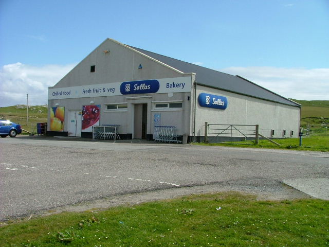
Sollas
Sollas (Scottish Gaelic: Solas) is a small crofting township on the northern coast of the island of North Uist, Scotland. == History == === The Battle... ===

Oronsay, Outer Hebrides
Oronsay (Gaelic Orasaigh) is a tidal island off North Uist in the Outer Hebrides. Lying to the north of Vallaquie Strand, the island has been uninhabited...

North Uist
North Uist (Scottish Gaelic: Uibhist a Tuath; Scots: North Uise) is an island and community in the Outer Hebrides of Scotland. == Etymology == In Donald...

Vallay
Vallay (Scottish Gaelic: Bhàlaigh) is an uninhabited tidal island in the Scottish Outer Hebrides. It can be reached from North Uist by a long beach at...
Nearby Amenities
Located within 500m of 57.638865,-7.3416018Have you been to Sgùrr an Dùin?
Leave your review of Sgùrr an Dùin below (or comments, questions and feedback).