Bowthorpe Southern Park

Downs, Moorland in Norfolk Norwich

England

Bowthorpe Southern Park

Royal Mail depot and Screwfix, Bowthorpe Industrial Area
Royal Mail depot and Screwfix, Bowthorpe Industrial Area Credit: Hugh Venables

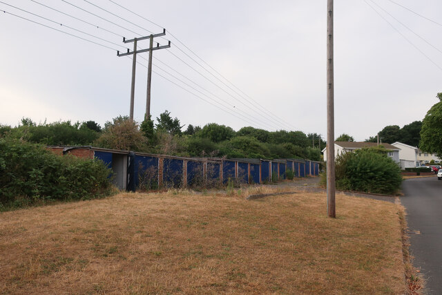
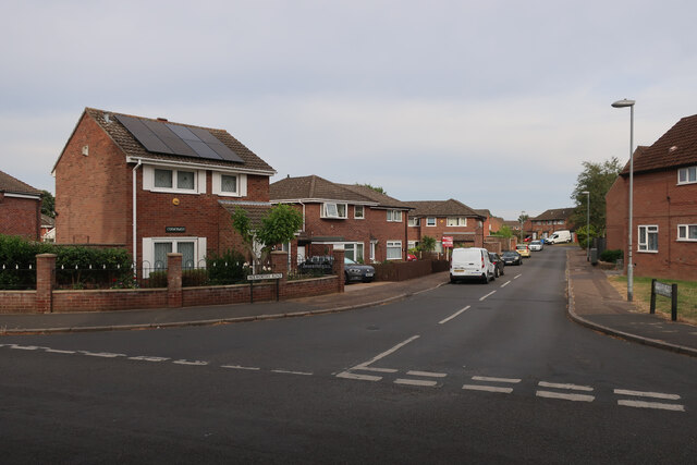
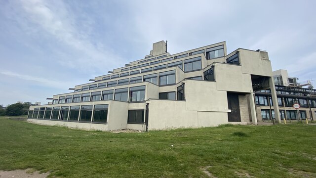
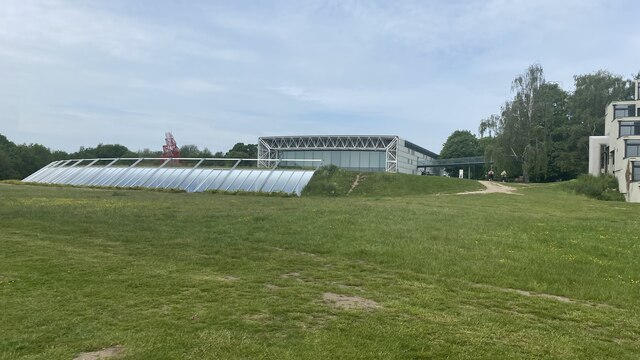
Bowthorpe Southern Park, located in Norfolk, England, is a picturesque green space that spans over a vast area, offering a diverse range of landscapes including downs and moorland. This expansive park provides a haven for nature enthusiasts and those seeking tranquility in a rural setting.

The downs area of Bowthorpe Southern Park is characterized by its gently rolling hills and open grasslands. It offers stunning panoramic views of the surrounding countryside, making it an ideal spot for picnics, leisurely walks, or simply admiring the natural beauty of the area. The downs are home to a variety of plant species, including wildflowers and grasses, which create a vibrant and colorful environment during the warmer months.

Moving towards the moorland section of the park, visitors are greeted with a different landscape altogether. Moorland is characterized by its heather-covered hills and wetland areas, providing a unique habitat for a range of wildlife. The moorland in Bowthorpe Southern Park is home to various bird species, including skylarks and pheasants, as well as small mammals such as rabbits and voles. It offers an excellent opportunity for birdwatching and nature photography.

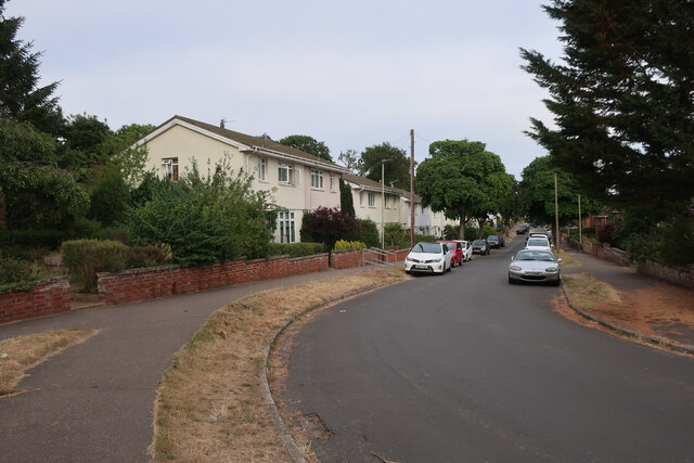
The park also features well-maintained walking trails, allowing visitors to explore its different areas at their own pace. Additionally, there are designated picnic areas, children's play areas, and ample parking facilities, making it a popular destination for families and individuals alike.

Overall, Bowthorpe Southern Park in Norfolk offers a diverse and picturesque landscape, providing a tranquil escape from the hustle and bustle of everyday life.

If you have any feedback on the listing, please let us know in the comments section below.

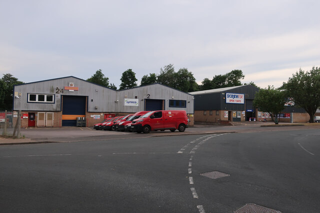
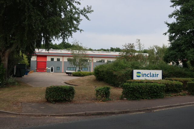
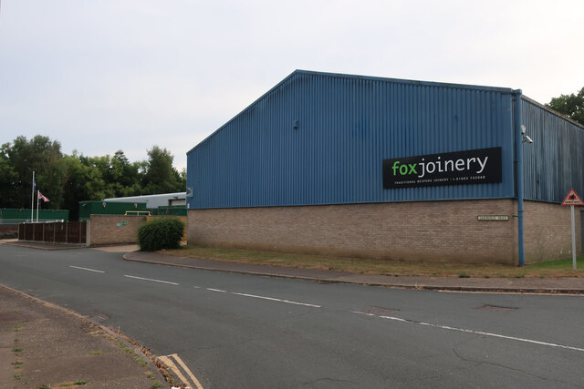
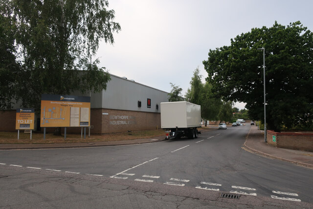
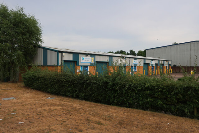
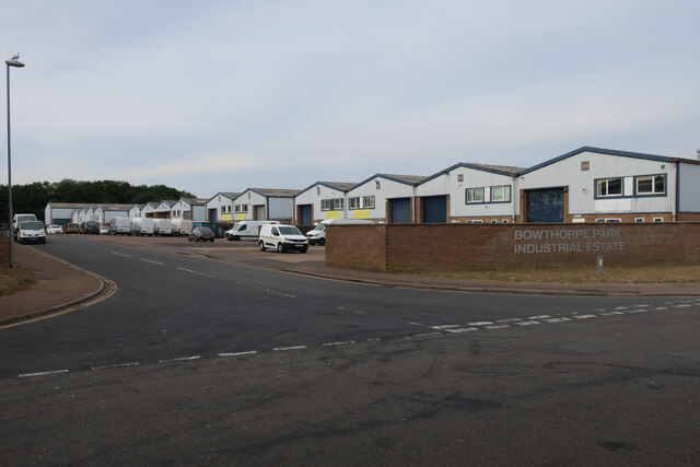
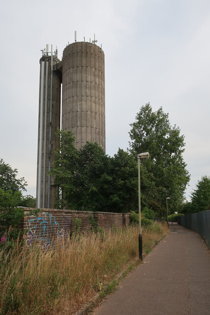
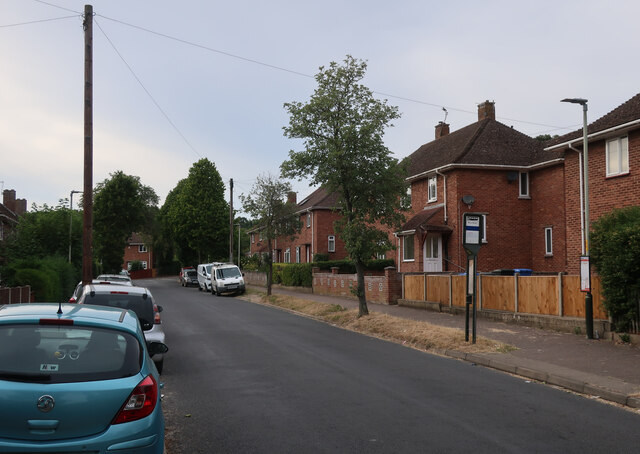
Bowthorpe Southern Park Images

Images are sourced within 2km of 52.62743/1.2174379 or Grid Reference TG1708. Thanks to Geograph Open Source API. All images are credited.

Royal Mail depot and Screwfix, Bowthorpe Industrial Area
Sinclair International, Jarrold Way Producing labels for fresh produce.
Sinclair International, Jarrold Way
Producing labels for fresh produce.
Fox Joinery, Bowthorpe Industrial Area
Bowthorpe Park Industrial Estate
Bowthorpe water tower
Wilberforce Road, West Earlham
Garages on St Mildreds Road
St Mildreds Road, West Earlham
Earlham Green Lane
Earlham Green Lane
Bus link to Earlham Green Lane
Holworthy Road
Holworthy Road
Goodwood Steps, UEA campus Anthony Caro sculpture which sits well with the stepped nature of the campus buildings behind.
Goodwood Steps, UEA campus
Anthony Caro sculpture which sits well with the stepped nature of the campus buildings behind.
Suffolk Terrace (ziggurats), University of East Anglia
Sainsbury Centre, University of East Anglia
Show me another place!

Bowthorpe Southern Park is located at Grid Ref: TG1708 (Lat: 52.62743, Lng: 1.2174379)

Administrative County: Norfolk

District: Norwich

Police Authority: Norfolk

What 3 Words

///cubs.upset.tried. Near Bowthorpe, Norfolk

Related Wikis

Earlham Institute

Earlham Institute (EI, formerly The Genome Analysis Centre (TGAC)) is a life science research institute located at the Norwich Research Park (NRP), Norwich...

Colney

Colney () is a village in the western outskirts of Norwich in the English county of Norfolk. == History == Colney's name is of Anglo-Saxon origin and derives...

Bowthorpe Marsh

Bowthorpe Marsh is a 5.9-hectare (15-acre) Local Nature Reserve in Norwich in Norfolk. It is owned and managed by Norwich City Council.This site adjacent...

Norwich Radiology Academy

The Norwich Radiology Academy, opened in November 2005, is part of the Norfolk and Norwich University Hospital NHS Trust and is one of only three training...

Quadram Institute

The Quadram Institute is a centre for food and health research, combining Quadram Institute Bioscience (formerly the Institute of Food Research), the Norfolk...

Norwich Research Park

Norwich Research Park is a business community located to the southwest of Norwich in East Anglia close to the A11 and the A47 roads. Set in over 230 hectares...

Bowthorpe

Bowthorpe is a suburban village to the west of Norwich, in the county of Norfolk, England. == Geography == Bowthorpe is primarily a residential area, but...

Earlham Park Woods

Earlham Park Woods is a 8.1-hectare (20-acre) Local Nature Reserve on the western outskirts of Norwich in Norfolk. It is owned and managed by Norwich...

Nearby Amenities

Located within 500m of 52.62743,1.2174379
Traffic Signals
Lat/Long: 52.6251526/1.2204915
Crossing
Bicycle: yes
Crossing: unmarked
Crossing Island: yes
Tactile Paving: yes
Lat/Long: 52.6289849/1.2173527
Crossing
Crossing: uncontrolled
Lat/Long: 52.6310363/1.2149107
Crossing
Bicycle: yes
Crossing: traffic_signals
Dismount: yes
Tactile Paving: yes
Lat/Long: 52.6253017/1.2211696
Barrier: kissing_gate
Foot: yes
Lat/Long: 52.6287456/1.2136773
Crossing
Bicycle: designated
Crossing: unmarked
Foot: designated
Priority: equal
Segregated: no
Lat/Long: 52.6317104/1.2169339
Barrier: kissing_gate
Foot: yes
Material: wood
Lat/Long: 52.6289022/1.2232035
Barrier: kissing_gate
Foot: yes
Material: wood
Lat/Long: 52.6283375/1.2232923
Turning Circle
Lat/Long: 52.6315533/1.2181091
Crossing
Crossing: unmarked
Crossing Island: no
Lat/Long: 52.62846/1.2177183
Crossing
Crossing: uncontrolled
Tactile Paving: yes
Lat/Long: 52.6304593/1.2154223
Crossing
Crossing: uncontrolled
Tactile Paving: yes
Lat/Long: 52.631397/1.2207833
Crossing
Crossing: uncontrolled
Tactile Paving: yes
Lat/Long: 52.6299731/1.2197498
Turning Circle
Lat/Long: 52.631156/1.2186831
Turning Circle
Lat/Long: 52.6304332/1.2196514
Barrier: bollard
Lat/Long: 52.63012/1.2172609
Colney
Man Made: village_sign
Material: metal
Place: village
Wikidata: Q1800616
Wikipedia: en:Colney
Lat/Long: 52.6255327/1.2218042
Post Box
Collection Times: Mo-Fr 17:30; Sa 08:15
Note: Overhangs a garden wall
Operator: Royal Mail
Postal Code: NR4
Ref: NR4 439
Lat/Long: 52.6268028/1.2233812
Post Box
Collection Times: Mo-Fr 17:30; Sa 11:00
Operator: Royal Mail
Postal Code: NR5
Ref: NR5 526
Lat/Long: 52.6305421/1.2201526
Grit Bin
Lat/Long: 52.6248076/1.22151
Waste Basket
Lat/Long: 52.6305545/1.2201609
Bus Stop
Dodderman Way
Naptan AtcoCode: 2900N12736
Naptan Bearing: N
Naptan CommonName: Sukey Way
Naptan Indicator: adj
Naptan Locality: Bowthorpe
Naptan NaptanCode: nfodmtap
Naptan PlusbusZoneRef: NRCH
Naptan Street: Dodderman Way
Note: Bearing should be NE
Shelter: no
Source: naptan_import;survey
Lat/Long: 52.6305646/1.2201665
Entrance: main
Lat/Long: 52.6254374/1.220552
Crossing
Crossing: traffic_signals
Crossing Ref: pelican
Tactile Paving: yes
Lat/Long: 52.6244183/1.216845
Power: pole
Lat/Long: 52.627575/1.2240501
Power: pole
Lat/Long: 52.6278849/1.2244006
Power: pole
Lat/Long: 52.627055/1.2219574
Power: pole
Lat/Long: 52.6273661/1.2238152
Power: pole
Lat/Long: 52.626821/1.218155
Power: pole
Lat/Long: 52.627366/1.218013
Power: pole
Lat/Long: 52.6263734/1.2211489
Power: pole
Lat/Long: 52.626305/1.218251
Location Transition: yes
Power: pole
Transformer: distribution
Lat/Long: 52.627915/1.217884
Power: pole
Lat/Long: 52.627276/1.2231911
Power: pole
Lat/Long: 52.6263521/1.2194554
Power: pole
Lat/Long: 52.625886/1.219605
Bus Stop
Bowthorpe / Three Score Road
Naptan AtcoCode: 2900N12599
Naptan Bearing: SW
Naptan CommonName: Dodderman Way
Naptan Indicator: opp
Naptan Landmark: Dodderman Way
Naptan Latitude: 52.6290981
Naptan Locality: Bowthorpe
Naptan Longitude: 1.2192491
Naptan NaptanCode: nfodmgdj
Naptan PlusbusZoneRef: NRCH
Naptan Street: Three Score Road
Shelter: no
Source: naptan_import;survey
Lat/Long: 52.629047/1.2189264
Bus Stop
Bowthorpe / Three Score Road
Naptan AtcoCode: 2900N12600
Naptan Bearing: NE
Naptan CommonName: Dodderman Way
Naptan Indicator: adj
Naptan Landmark: Dodderman Way
Naptan Locality: Bowthorpe
Naptan NaptanCode: nfodmgdm
Naptan PlusbusZoneRef: NRCH
Naptan Street: Three Score Road
Shelter: no
Source: naptan_import;survey
Lat/Long: 52.6291254/1.2187412
Bus Stop
Bowthorpe / Three Score Road
Naptan AtcoCode: 2900N12721
Naptan Bearing: N
Naptan CommonName: Bladewater Road
Naptan Indicator: opp
Naptan Landmark: Bladewater Road
Naptan Locality: Bowthorpe
Naptan NaptanCode: nfodmptj
Naptan PlusbusZoneRef: NRCH
Naptan Street: Three Score Road
Shelter: no
Source: naptan_import;survey
Lat/Long: 52.6310065/1.214881
Bus Stop
Bowthorpe / Dodderman Way
Naptan AtcoCode: 2900N12742
Naptan Bearing: SW
Naptan CommonName: Sukey Way
Naptan Indicator: opp
Naptan Landmark: Sukey Way
Naptan Latitude: 52.6306726
Naptan Locality: Bowthorpe
Naptan Longitude: 1.2205472
Naptan NaptanCode: nfodmtdm
Naptan PlusbusZoneRef: NRCH
Naptan Street: Dodderman Way
Shelter: no
Source: naptan_import;survey
Lat/Long: 52.6311759/1.2208492
Bus Stop
Bowthorpe / Three Score Road
Naptan AtcoCode: 2900N12748
Naptan Bearing: NW
Naptan CommonName: Dow Close
Naptan Indicator: adj
Naptan Landmark: Dow Close
Naptan Locality: Bowthorpe
Naptan NaptanCode: nfogmpga
Naptan PlusbusZoneRef: NRCH
Naptan Street: Three Score Road
Shelter: no
Source: naptan_import;survey
Lat/Long: 52.6297731/1.2154796
Bus Stop
Bowthorpe / Three Score Road
Naptan AtcoCode: 2900N12750
Naptan Bearing: SE
Naptan CommonName: Dow Close
Naptan Indicator: opp
Naptan Landmark: Dow Close
Naptan Latitude: 52.6298059
Naptan Locality: Bowthorpe
Naptan Longitude: 1.2157093
Naptan NaptanCode: nfogmpgd
Naptan PlusbusZoneRef: NRCH
Naptan ShortCommonName: Dow Close
Naptan Street: Three Score Road
Shelter: no
Source: naptan_import;survey
Lat/Long: 52.6298858/1.2155611
Bus Stop
Bowthorpe / Three Score Road
Naptan AtcoCode: 2900N12755
Naptan Bearing: S
Naptan BusStopType: CUS
Naptan CommonName: Bladewater Road
Naptan Indicator: adj
Naptan Landmark: Bladewater Road
Naptan Locality: Bowthorpe
Naptan NaptanCode: nfogpmjm
Naptan PlusbusZoneRef: NRCH
Naptan Street: Three Score Road
Source: naptan_import;survey
Lat/Long: 52.6311013/1.2150357
Waste Basket
Lat/Long: 52.6290484/1.21893
Bus Stop
Watton Rd / Colney Church
Naptan AtcoCode: 2900C231
Naptan Bearing: NE
Naptan BusStopType: CUS
Naptan CommonName: church
Naptan Indicator: adj
Naptan Locality: Colney
Naptan NaptanCode: nfoajmwj
Naptan PlusbusZoneRef: NRCH
Naptan Street: Watton Road
Operator: Konectbus
Shelter: no
Source: naptan_import;survey
Lat/Long: 52.6258728/1.2234165
Bus Stop
Watton Rd / Colney Church
Naptan AtcoCode: 2900C236
Naptan Bearing: SW
Naptan BusStopType: CUS
Naptan CommonName: church
Naptan Indicator: opp
Naptan Locality: Colney
Naptan NaptanCode: nfoajpag
Naptan PlusbusZoneRef: NRCH
Naptan Street: Watton Road
Operator: Konectbus
Physically Present: no
Shelter: no
Source: naptan_import;survey
Lat/Long: 52.6257591/1.2236298
Traffic Signals
Lat/Long: 52.624952/1.221006
Crossing
Bicycle: yes
Crossing: traffic_signals
Tactile Paving: yes
Lat/Long: 52.6252146/1.2213326
Traffic Signals
Lat/Long: 52.6250937/1.2205257
Crossing
Crossing: traffic_signals
Crossing Ref: pelican
Tactile Paving: yes
Lat/Long: 52.6243419/1.2169939
Traffic Signals
Lat/Long: 52.6252324/1.2213989
Traffic Signals
Lat/Long: 52.6249089/1.2209833
Street Lamp
Ref: 4064
Lat/Long: 52.6302/1.217315
Street Lamp
Operator: Norfolk County Council
Ref: W5236
Source Location: Bing;survey
Lat/Long: 52.6289264/1.2179747
Street Lamp
Operator: Norfolk County Council
Ref: W5237
Source Location: Bing;survey
Lat/Long: 52.6289285/1.2175013
Barrier: cycle_barrier
Lat/Long: 52.6291206/1.2175529
Street Lamp
Operator: Norfolk County Council
Ref: 73
Lat/Long: 52.6260342/1.2242628
Historic: memorial
Lat/Long: 52.6255415/1.2212303
Street Lamp
Lat/Long: 52.6276828/1.2247696
Crossing
Crossing: uncontrolled
Lat/Long: 52.6298594/1.2154886
Three Score
Is In: Bowthorpe
Place: subdivision
Lat/Long: 52.6315827/1.2167537
Barrier: bollard
Lat/Long: 52.6295758/1.2174706
Crossing
Crossing: uncontrolled
Tactile Paving: yes
Lat/Long: 52.6304212/1.2154389
Street Lamp
Lat/Long: 52.6292134/1.2208438
Street Lamp
Lat/Long: 52.6292181/1.2200418
Street Lamp
Lat/Long: 52.6292515/1.2193144
Street Lamp
Lat/Long: 52.6294441/1.2200431
Crossing
Bicycle: yes
Crossing Island: yes
Tactile Paving: yes
Lat/Long: 52.6295328/1.2197374
Street Lamp
Lat/Long: 52.6291943/1.2204978
Street Lamp
Lat/Long: 52.6296851/1.2198517
Crossing
Bicycle: yes
Crossing Island: yes
Tactile Paving: yes
Lat/Long: 52.6295463/1.2198523
Street Lamp
Lat/Long: 52.6292165/1.2197062
Street Lamp
Lat/Long: 52.6294234/1.2196473
Barrier: cycle_barrier
Lat/Long: 52.6305149/1.2173003
Bench
Backrest: yes
Inscription: 1952 Colney Jubilee 1977
Lat/Long: 52.6256309/1.2211055
Street Lamp
Lit: no
Operator: Norfolk County Council
Ref: 4592
Lat/Long: 52.629781/1.2197263
Street Lamp
Ref: 4699
Lat/Long: 52.6311414/1.2206378
Street Lamp
Lat/Long: 52.6245955/1.2185847
Street Lamp
Lat/Long: 52.6246872/1.2190736
Street Lamp
Lat/Long: 52.6247714/1.2195983
Street Lamp
Lat/Long: 52.6248594/1.2200865
Street Lamp
Lat/Long: 52.6249157/1.219225
Street Lamp
Lat/Long: 52.6249234/1.2208965
Street Lamp
Lat/Long: 52.624954/1.2205321
Street Lamp
Lat/Long: 52.6250222/1.2197268
Street Lamp
Lit: no
Lat/Long: 52.6250453/1.2212785
Street Lamp
Lat/Long: 52.6251137/1.2201618
Street Lamp
Lat/Long: 52.6251313/1.2213378
Street Lamp
Lat/Long: 52.6252/1.220572
Street Lamp
Lat/Long: 52.6252287/1.220305
Street Lamp
Lat/Long: 52.6252539/1.2217044
Street Lamp
Lat/Long: 52.625281/1.2209219
Street Lamp
Lat/Long: 52.6253365/1.2219941
Street Lamp
Lat/Long: 52.6253825/1.2212873
Street Lamp
Lat/Long: 52.6254202/1.220754
Street Lamp
Lat/Long: 52.6254544/1.2215814
Street Lamp
Lat/Long: 52.6256314/1.2211405
Street Lamp
Lat/Long: 52.6256536/1.2216495
Street Lamp
Ref: 11
Lat/Long: 52.6314415/1.2169592
Street Lamp
Ref: 10
Lat/Long: 52.6317245/1.2168892
Barrier: kissing_gate
Foot: yes
Lat/Long: 52.6273315/1.2179757
Barrier: kissing_gate
Foot: yes
Lat/Long: 52.6289629/1.2197967
Barrier: cycle_barrier
Bicycle: no
Material: wood
Lat/Long: 52.6310564/1.2179588
Barrier: bollard
Bicycle: yes
Foot: yes
Material: concrete
Lat/Long: 52.6284226/1.2177276
Barrier: bollard
Bicycle: yes
Foot: yes
Material: concrete
Lat/Long: 52.6284948/1.2177096
Street Lamp
Lat/Long: 52.6247099/1.2210522
Street Lamp
Lit: no
Lat/Long: 52.6248592/1.2214499
Grit Bin
Colour: yellow
Lat/Long: 52.6248652/1.2186857
Bench
Lat/Long: 52.6272209/1.2177258
Bench
Lat/Long: 52.6272855/1.2179388
Barrier: kissing_gate
Foot: yes
Material: wood
Lat/Long: 52.6279827/1.2206244
Barrier: kissing_gate
Foot: yes
Lat/Long: 52.6284545/1.215395
Barrier: stile
Lat/Long: 52.6289154/1.2136871
Barrier: kissing_gate
Foot: yes
Lat/Long: 52.6300243/1.2146513
Barrier: stile
Bicycle: no
Foot: yes
Material: wood
Stile: stepover
Lat/Long: 52.6297571/1.2206591
Traffic Signals
Lat/Long: 52.6243163/1.2162442
Bicycle Parking
Bicycle Parking: stands
Capacity: 24
Covered: yes
Lat/Long: 52.6231879/1.2198145
Bicycle Parking
Bicycle Parking: stands
Capacity: 24
Covered: yes
Lat/Long: 52.6232136/1.2197363
Crossing
Bicycle: yes
Crossing: unmarked
Crossing Island: yes
Tactile Paving: yes
Lat/Long: 52.6233302/1.2161581
Traffic Calming: bump
Lat/Long: 52.623432/1.2174943
Traffic Calming: bump
Lat/Long: 52.6236532/1.2186615
Crossing
Crossing: unmarked
Tactile Paving: no
Lat/Long: 52.6236926/1.2166683
Grit Bin
Lat/Long: 52.6237113/1.2195683
Crossing
Crossing: unmarked
Crossing Island: yes
Tactile Paving: yes
Lat/Long: 52.6237183/1.2165787
Crossing
Crossing: unmarked
Tactile Paving: yes
Lat/Long: 52.6237678/1.219487
Traffic Calming: bump
Lat/Long: 52.6239849/1.2206796
Man Made: surveillance
Surveillance: outdoor
Surveillance Type: camera
Lat/Long: 52.6240416/1.2203352
Grit Bin
Lat/Long: 52.6240744/1.2203235
Crossing
Crossing: traffic_signals
Crossing Ref: toucan
Tactile Paving: yes
Lat/Long: 52.6241256/1.2166959
Crossing
Crossing: traffic_signals
Crossing Ref: toucan
Tactile Paving: yes
Lat/Long: 52.6241525/1.2165376
Crossing
Crossing: unmarked
Tactile Paving: yes
Lat/Long: 52.6242256/1.2194706
Traffic Signals
Lat/Long: 52.6243516/1.2170524
Crossing
Crossing: unmarked
Tactile Paving: yes
Lat/Long: 52.6238605/1.2188544
Crossing
Crossing: unmarked
Tactile Paving: yes
Lat/Long: 52.6239291/1.2189607
Traffic Signals
Lat/Long: 52.6241123/1.2165372
Barrier: bollard
Bicycle: yes
Foot: yes
Material: concrete
Lat/Long: 52.6288955/1.2173889
Give Way
Lat/Long: 52.6241168/1.2127862
Milestone
Colour: white
Distance Norwich: 3 mi
Distance Watton: 18 mi
Material: stone
Lat/Long: 52.6240292/1.2152398
Street Lamp
Lat/Long: 52.6236804/1.2193818
Street Lamp
Lat/Long: 52.6233784/1.2197573
Street Lamp
Lat/Long: 52.6232204/1.2196138
Street Lamp
Lat/Long: 52.6237683/1.2167305
Street Lamp
Lat/Long: 52.6236487/1.2170269
Street Lamp
Lat/Long: 52.6235656/1.2172844
Street Lamp
Lat/Long: 52.623481/1.2175405
Street Lamp
Lat/Long: 52.6233898/1.217806
Street Lamp
Lat/Long: 52.6233043/1.2180568
Street Lamp
Lat/Long: 52.6233694/1.218254
Street Lamp
Lat/Long: 52.6235233/1.2183948
Street Lamp
Lat/Long: 52.6236853/1.2185356
Construction
Amperage: 32
Authentication Website: yes
Brand: RolecEV
Capacity: 2
Car: yes
Construction: charging_station
Fee: yes
Operator: vendelectric
Payment Mastercard: yes
Payment Paypal: yes
Payment Visa: yes
Phases: 1
Power: 7.2
Socket Type2: 2
Voltage: 230
Website: https://vendelectric.com/payg
Lat/Long: 52.623252/1.2199917
Charging Station
Amperage: 32
Authentication Website: yes
Brand: RolecEV
Capacity: 2
Car: yes
Fee: yes
Operator: vendelectric
Payment Mastercard: yes
Payment Paypal: yes
Payment Visa: yes
Phases: 1
Power: 7.2
Ref: UKEV2645
Socket Type2: 2
Voltage: 230
Website: https://vendelectric.com/payg
Lat/Long: 52.6233385/1.2200692
Charging Station
Amperage: 32
Authentication Website: yes
Brand: RolecEV
Capacity: 2
Car: yes
Fee: yes
Operator: vendelectric
Payment American Express: yes
Payment Mastercard: yes
Payment Paypal: yes
Payment Visa: yes
Phases: 1
Power: 7.2
Ref: UKEV2644
Socket Type2: 2
Voltage: 230
Website: https://vendelectric.com/payg
Lat/Long: 52.6232925/1.2200289
Give Way
Lat/Long: 52.6238373/1.220978
Give Way
Lat/Long: 52.6237499/1.2208338
Give Way
Lat/Long: 52.6233891/1.2205818
Give Way
Lat/Long: 52.6299545/1.2198283
Barrier: kissing_gate
Foot: yes
Lat/Long: 52.6276399/1.2154618
Give Way
Lat/Long: 52.6290565/1.2175691
Waste Basket
Lat/Long: 52.626893/1.2164003
Waste Basket
Colour: green
Material: plastic
Lat/Long: 52.6291971/1.2191008
Waste Basket
Lat/Long: 52.6300331/1.2146819
Waste Basket
Lat/Long: 52.6311302/1.2172149
Waste Basket
Lat/Long: 52.6286927/1.2136127
Waste Basket
Colour: green
Material: plastic
Lat/Long: 52.6312823/1.2209508
Waste Basket
Lat/Long: 52.6315514/1.2176437
Waste Basket
Lat/Long: 52.6316998/1.2175821
Waste Basket
Lat/Long: 52.6273118/1.2180625
Give Way
Lat/Long: 52.6248059/1.2186215
Crossing
Crossing: unmarked
Tactile Paving: no
Lat/Long: 52.6316343/1.2150146
Crossing
Crossing: unmarked
Kerb: flush
Tactile Paving: no
Lat/Long: 52.6316325/1.2149153
Generator Method: photovoltaic
Generator Output Electricity: yes
Generator Solar Modules: 14
Generator Source: solar
Generator Type: solar_photovoltaic_panel
Location: roof
Power: generator
Lat/Long: 52.6296637/1.2185544
Generator Method: photovoltaic
Generator Output Electricity: yes
Generator Solar Modules: 14
Generator Source: solar
Generator Type: solar_photovoltaic_panel
Location: roof
Power: generator
Lat/Long: 52.6292046/1.2159392
Generator Method: photovoltaic
Generator Output Electricity: yes
Generator Solar Modules: 16
Generator Source: solar
Generator Type: solar_photovoltaic_panel
Location: roof
Power: generator
Lat/Long: 52.6282425/1.2167761
Generator Method: photovoltaic
Generator Output Electricity: yes
Generator Solar Modules: 16
Generator Source: solar
Generator Type: solar_photovoltaic_panel
Location: roof
Power: generator
Lat/Long: 52.6280422/1.2167332
Generator Method: photovoltaic
Generator Output Electricity: yes
Generator Solar Modules: 15
Generator Source: solar
Generator Type: solar_photovoltaic_panel
Location: roof
Power: generator
Lat/Long: 52.6254544/1.2196688
Generator Method: photovoltaic
Generator Output Electricity: yes
Generator Source: solar
Generator Type: solar_photovoltaic_panel
Location: roof
Power: generator
Lat/Long: 52.6269433/1.2234534
Generator Method: photovoltaic
Generator Output Electricity: yes
Generator Source: solar
Generator Type: solar_photovoltaic_panel
Location: roof
Power: generator
Lat/Long: 52.6269579/1.223499
Generator Method: photovoltaic
Generator Output Electricity: yes
Generator Solar Modules: 48
Generator Source: solar
Generator Type: solar_photovoltaic_panel
Location: roof
Power: generator
Lat/Long: 52.6264255/1.223318
Generator Method: photovoltaic
Generator Output Electricity: yes
Generator Solar Modules: 64
Generator Source: solar
Generator Type: solar_photovoltaic_panel
Location: roof
Power: generator
Lat/Long: 52.6262285/1.2232938
Generator Method: photovoltaic
Generator Output Electricity: yes
Generator Solar Modules: 10
Generator Source: solar
Generator Type: solar_photovoltaic_panel
Location: roof
Power: generator
Lat/Long: 52.6316955/1.2181172
Generator Method: photovoltaic
Generator Output Electricity: yes
Generator Solar Modules: 10
Generator Source: solar
Generator Type: solar_photovoltaic_panel
Location: roof
Power: generator
Lat/Long: 52.631715/1.2182084
Generator Method: photovoltaic
Generator Output Electricity: yes
Generator Solar Modules: 10
Generator Source: solar
Generator Type: solar_photovoltaic_panel
Location: roof
Power: generator
Lat/Long: 52.6317394/1.2183908
Generator Method: photovoltaic
Generator Output Electricity: yes
Generator Solar Modules: 10
Generator Source: solar
Generator Type: solar_photovoltaic_panel
Location: roof
Power: generator
Lat/Long: 52.6315131/1.2185919
Generator Method: photovoltaic
Generator Output Electricity: yes
Generator Solar Modules: 10
Generator Source: solar
Generator Type: solar_photovoltaic_panel
Location: roof
Power: generator
Lat/Long: 52.6314985/1.2185115
Generator Method: photovoltaic
Generator Output Electricity: yes
Generator Solar Modules: 10
Generator Source: solar
Generator Type: solar_photovoltaic_panel
Location: roof
Power: generator
Lat/Long: 52.6314464/1.2183318
Generator Method: photovoltaic
Generator Output Electricity: yes
Generator Solar Modules: 10
Generator Source: solar
Generator Type: solar_photovoltaic_panel
Location: roof
Power: generator
Lat/Long: 52.6314106/1.2178624
Generator Method: photovoltaic
Generator Output Electricity: yes
Generator Solar Modules: 10
Generator Source: solar
Generator Type: solar_photovoltaic_panel
Location: roof
Power: generator
Lat/Long: 52.6313829/1.2179509
Generator Method: photovoltaic
Generator Output Electricity: yes
Generator Solar Modules: 10
Generator Source: solar
Generator Type: solar_photovoltaic_panel
Location: roof
Power: generator
Lat/Long: 52.6312787/1.2186053
Generator Method: photovoltaic
Generator Output Electricity: yes
Generator Solar Modules: 16
Generator Source: solar
Generator Type: solar_photovoltaic_panel
Location: roof
Power: generator
Lat/Long: 52.6308522/1.2160465
Generator Method: photovoltaic
Generator Output Electricity: yes
Generator Solar Modules: 16
Generator Source: solar
Generator Type: solar_photovoltaic_panel
Location: roof
Power: generator
Lat/Long: 52.6303687/1.2198392
Give Way
Lat/Long: 52.6316338/1.2149938
Generator Method: photovoltaic
Generator Output Electricity: yes
Generator Solar Modules: 30
Generator Source: solar
Generator Type: solar_photovoltaic_panel
Location: roof
Power: generator
Lat/Long: 52.6314651/1.2152402
Generator Method: photovoltaic
Generator Output Electricity: yes
Generator Solar Modules: 12
Generator Source: solar
Generator Type: solar_photovoltaic_panel
Location: roof
Power: generator
Lat/Long: 52.6311387/1.2152445
Generator Method: photovoltaic
Generator Output Electricity: yes
Generator Solar Modules: 6
Generator Source: solar
Generator Type: solar_photovoltaic_panel
Location: roof
Power: generator
Lat/Long: 52.6292956/1.21913
Horse: yes
Information: route_marker
Inscription: Public Bridleway
Material: wood
Operator: Norfolk County Council
Tourism: information
Lat/Long: 52.6250005/1.2184571
Public Bridleway
Bicycle: yes
Hiking: yes
Horse: yes
Information: guidepost
Material: wood
Tourism: information
Lat/Long: 52.6248426/1.2184981
Public Footpath
Hiking: yes
Information: guidepost
Material: wood
Tourism: information
Lat/Long: 52.6272498/1.2243587
Traffic Signals
Lat/Long: 52.6244136/1.2165361
Generator Method: photovoltaic
Generator Output Electricity: yes
Generator Solar Modules: 10
Generator Source: solar
Generator Type: solar_photovoltaic_panel
Location: roof
Power: generator
Lat/Long: 52.6251075/1.2185926
Bench
Access: private
Backrest: no
Colour: brown
Inscription: no
Material: wood
Seats: 3
Lat/Long: 52.6256383/1.2185269
Public Footpath
Colour: light_brown
Destination: Bowthorpe Southern Park;Colney;NNUH;Norwich Research Park
Hiking: yes
Information: guidepost
Material: wood
Tourism: information
Lat/Long: 52.628923/1.2174057
The data included in this document is from www.openstreetmap.org. The data is made available under ODbL.

Have you been to Bowthorpe Southern Park?

Leave your review of Bowthorpe Southern Park below (or comments, questions and feedback).