Ferry Marshes
Downs, Moorland in Kent Swale
England
Ferry Marshes
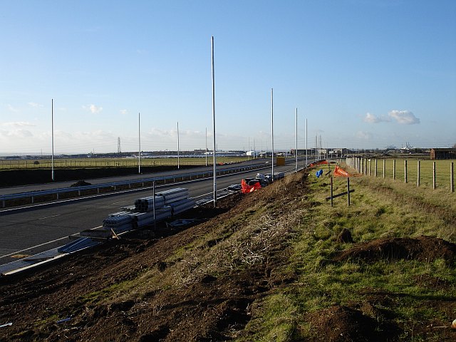
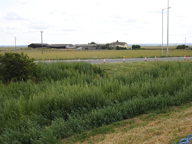
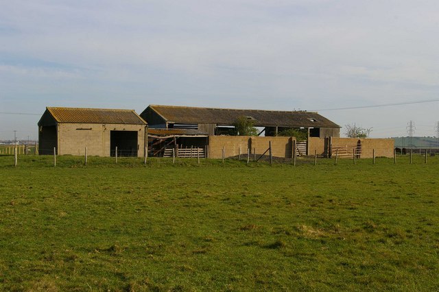
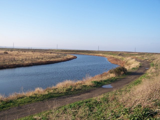
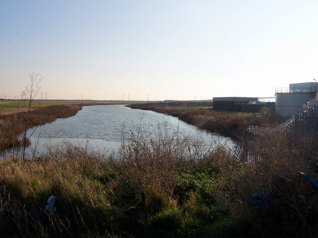
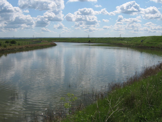
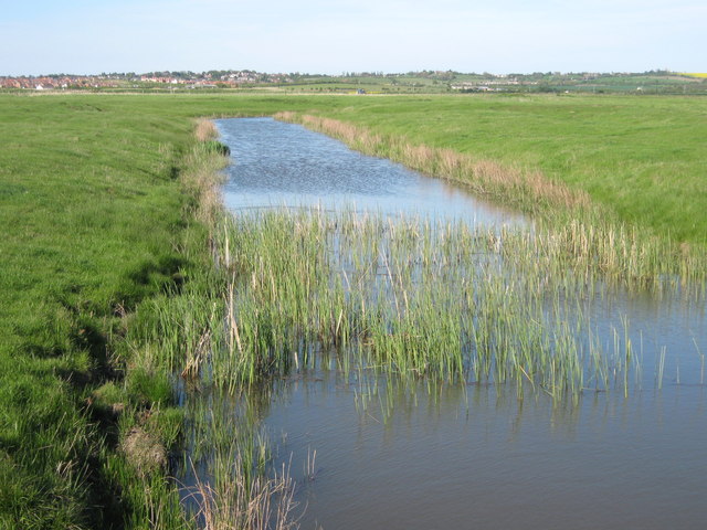
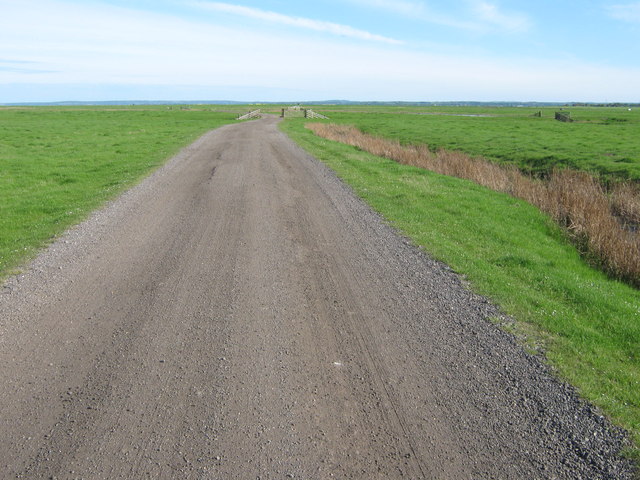
Ferry Marshes is a picturesque nature reserve located in the county of Kent, England. Situated within the wider area known as the Kent Downs, it offers visitors a unique combination of downs and moorland landscapes. Covering an expansive area, Ferry Marshes is a haven for wildlife and a popular destination for nature enthusiasts.
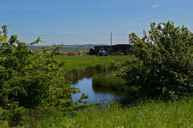
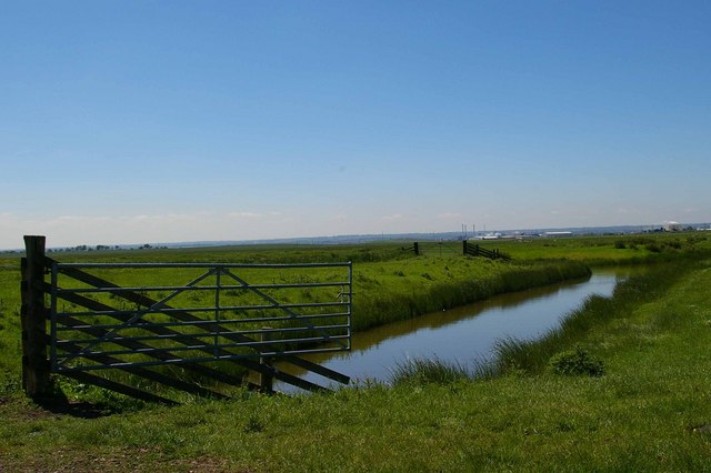
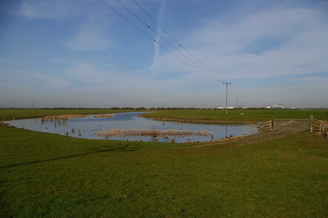
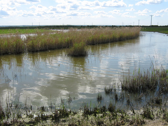
The reserve is characterized by rolling hills covered in lush greenery, interspersed with patches of heather and gorse. The downs provide a stunning backdrop, while the moorlands offer a distinct ecosystem with their wet and boggy terrain. This diverse habitat supports a wide variety of plant and animal species, making it a hotspot for biodiversity.
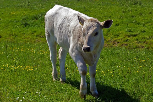
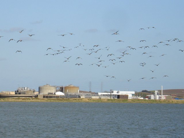
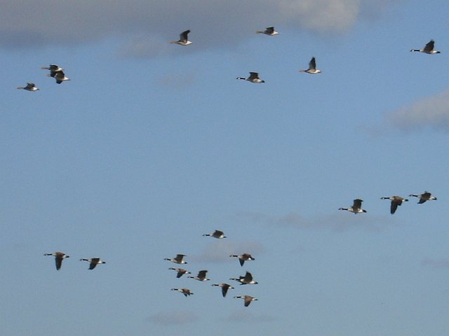
Visitors to Ferry Marshes can explore the reserve through a network of well-maintained footpaths and trails. As they wander through the marshes, they may encounter rare bird species such as skylarks, lapwings, and curlews. The reserve is also home to a number of mammals, including foxes, badgers, and rabbits.
For those interested in flora, Ferry Marshes boasts an impressive array of wildflowers, with vibrant colors dotting the landscape during the spring and summer months. Visitors may come across orchids, buttercups, and harebells, among many others.
The reserve offers a peaceful and tranquil escape from the bustling cities, with breathtaking views and a sense of serenity. Whether it's birdwatching, wildflower spotting, or simply enjoying a leisurely walk, Ferry Marshes provides an immersive experience in the natural beauty of the Kent Downs and moorlands.
If you have any feedback on the listing, please let us know in the comments section below.
Ferry Marshes Images
Images are sourced within 2km of 51.390999/0.75779101 or Grid Reference TQ9169. Thanks to Geograph Open Source API. All images are credited.
Ferry Marshes is located at Grid Ref: TQ9169 (Lat: 51.390999, Lng: 0.75779101)
Administrative County: Kent
District: Swale
Police Authority: Kent
What 3 Words
///living.beauty.ruffling. Near Iwade, Kent
Nearby Locations
Related Wikis

Kings Ferry Bridge North Halt railway station
Kings Ferry Bridge North Halt on the Isle of Sheppey in the English county of Kent, was a temporary railway station opened in December 1922 and closed...
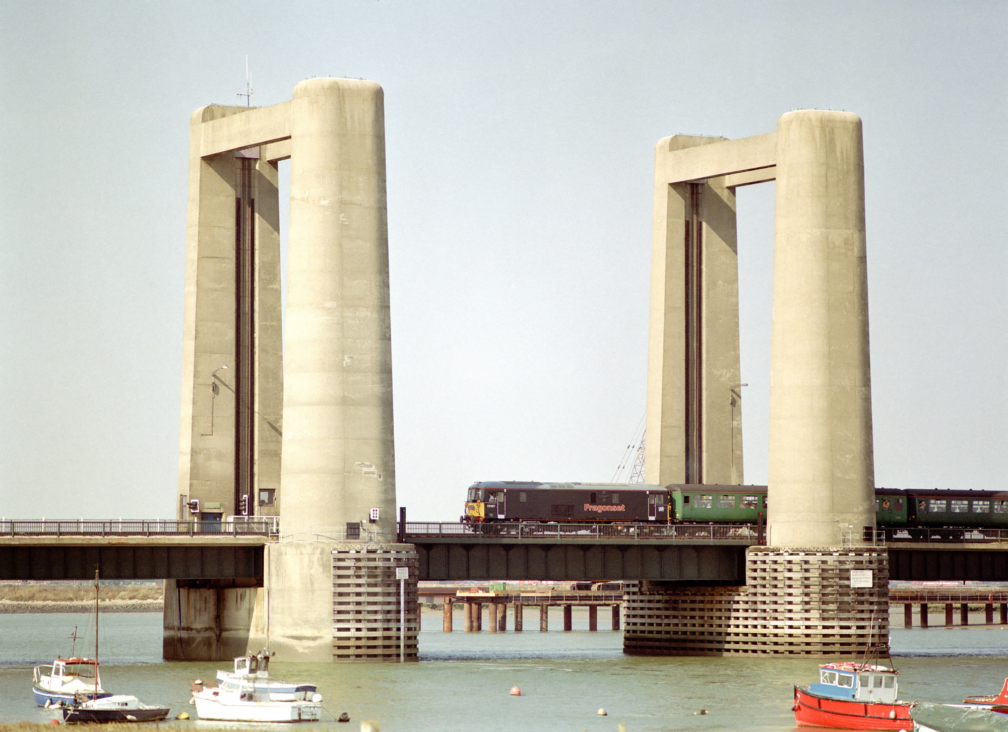
Kingsferry Bridge
The Kingsferry Bridge is a combined road and railway vertical-lift bridge which connects the Isle of Sheppey to mainland Kent in South East England. The...
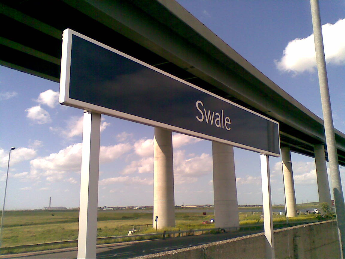
Swale railway station
Swale railway station is in north Kent, England, on the Sheerness Line 47 miles 15 chains (75.9 km) from London Victoria, at the southern end of the Kingsferry...

Ridham Dock
Ridham Dock is a dock on The Swale in the English county of Kent. It is located in the parish of Iwade around 4 miles (6.4 km) north of Sittingbourne....
Nearby Amenities
Located within 500m of 51.390999,0.75779101Have you been to Ferry Marshes?
Leave your review of Ferry Marshes below (or comments, questions and feedback).