East Hanningfield Common
Downs, Moorland in Essex Chelmsford
England
East Hanningfield Common
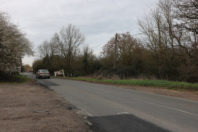
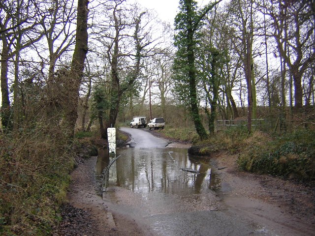
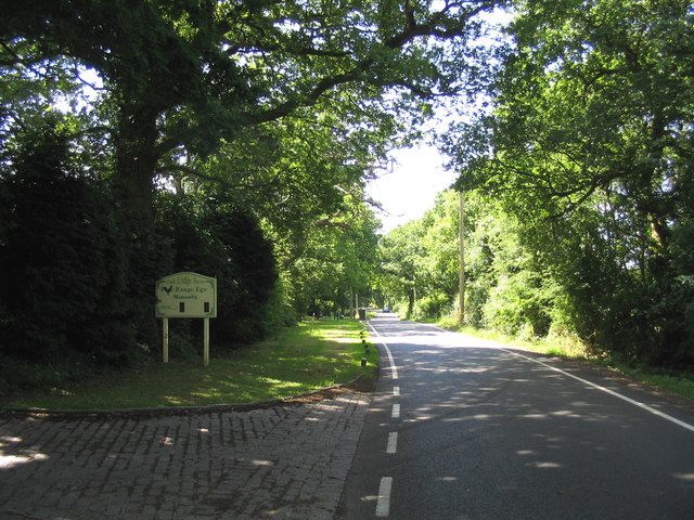
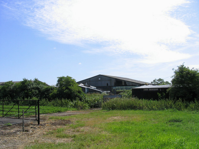
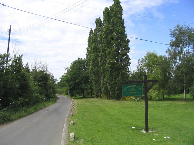
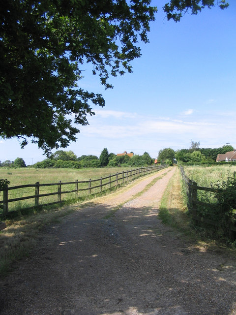
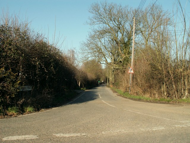
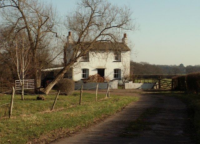
East Hanningfield Common, located in Essex, England, is a picturesque area boasting a diverse range of natural habitats and scenic landscapes. This common, which covers an expansive area of downs and moorland, offers visitors a unique opportunity to explore and appreciate the beauty of the British countryside.
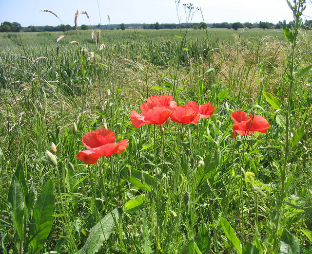
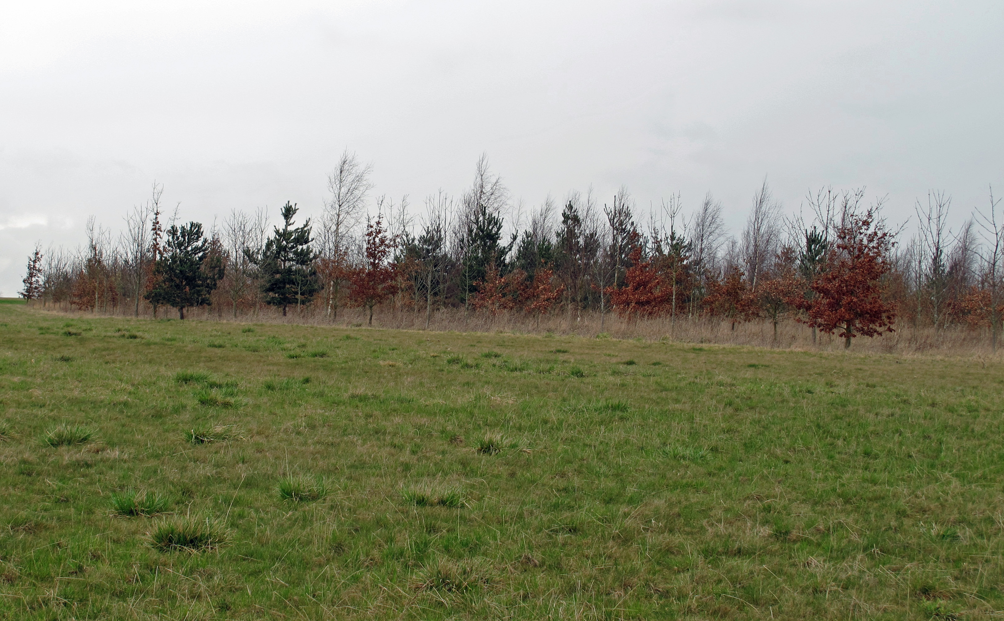
The common is predominantly characterized by its undulating downs, which are covered in lush grasses and scattered with patches of heather. These downs provide an ideal habitat for a variety of wildlife species, including rabbits, foxes, and numerous bird species. The moorland areas, on the other hand, are home to a range of heathland plants such as gorse, bracken, and bilberry, creating a beautiful tapestry of colors throughout the year.
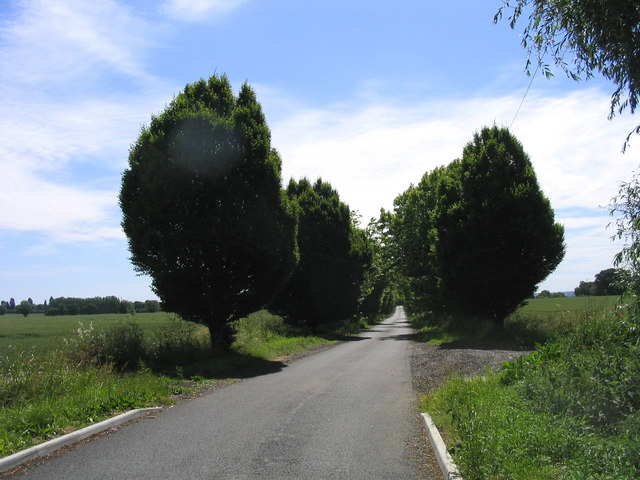
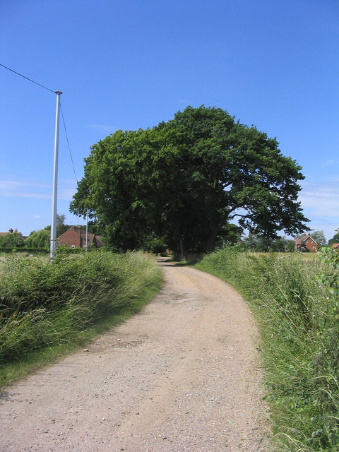
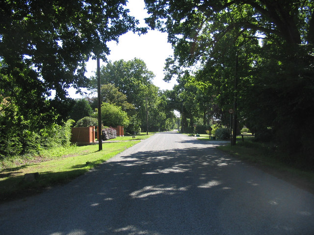
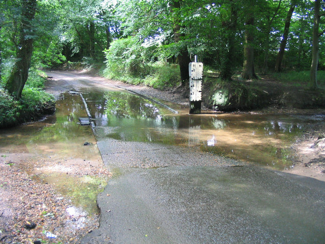
Visitors to East Hanningfield Common can enjoy leisurely walks along the network of well-maintained footpaths that crisscross the area. These paths meander through the downs and moorland, offering breathtaking views of the surrounding countryside. The common also features several ponds and small streams, providing additional interest and habitats for various aquatic species.
East Hanningfield Common is a designated Site of Special Scientific Interest (SSSI), recognizing its importance for biodiversity and conservation. The common is carefully managed to maintain its natural balance and protect its unique flora and fauna. As such, visitors are encouraged to respect the wildlife and stick to designated paths to minimize any potential disturbance.
Overall, East Hanningfield Common offers a tranquil and idyllic setting for those seeking to escape the hustle and bustle of urban life. With its diverse range of habitats, stunning landscapes, and abundant wildlife, this common is a true gem of Essex's natural heritage.
If you have any feedback on the listing, please let us know in the comments section below.
East Hanningfield Common Images
Images are sourced within 2km of 51.687738/0.55550152 or Grid Reference TL7601. Thanks to Geograph Open Source API. All images are credited.
East Hanningfield Common is located at Grid Ref: TL7601 (Lat: 51.687738, Lng: 0.55550152)
Administrative County: Essex
District: Chelmsford
Police Authority: Essex
What 3 Words
///misty.premature.trailing. Near Bicknacre, Essex
Nearby Locations
Related Wikis

East Hanningfield
East Hanningfield is a small village in south Essex, England. It is situated to the southeast of Chelmsford and to the northwest of South Woodham Ferrers...

Howe Green, Chelmsford
Howe Green is a village in the civil parish of Sandon, in the Chelmsford district, in the county, Essex, England. In 2011 it had a population of 666....

Bicknacre
Bicknacre is a village in the civil parish of Woodham Ferrers and Bicknacre, in the county of Essex, England. It is approximately 4.0 mi (6.5 km) north...
A130 road
The A130 is a major road in England linking Little Waltham, near Chelmsford, the county town of Essex, with Canvey Island in the south of that county....
Woodham Ferrers and Bicknacre
Woodham Ferrers and Bicknacre is a civil parish in the Chelmsford district in Essex, England. The parish includes the villages of Bicknacre and Woodham...

RHS Garden Hyde Hall
RHS Garden Hyde Hall is a public display garden run by the Royal Horticultural Society in the English county of Essex. It is one of five public gardens...

Danbury Common
Danbury Common is a 70.2-hectare (173-acre) biological Site of Special Scientific Interest in Danbury in Essex, England. Most of it is common land owned...

Danbury Place
Danbury Place was an English country house, first built by Walter Mildmay in the time of Elizabeth I, dated to 1589. It is situated on one of the highest...
Related Videos

Bye Danbury /Travel trip Danbury to London
Bye Danbury trip.

Bonfire 🔥 Night /Danbury Essex outdoor /CFC Family Sports & Camping weekend /Jaiden Aluan
Bonfires are typically associated with celebrations, backyard burnings, and toasting marshmallows, and although these are all ...

Barbecue Evening /Camping weekend /CFC Family Ministry /Danbury Essex /short /Jaiden Aluan
Danbury is one of our largest outdoor activity centres in Essex. A purpose-built site, set in over seventy acres of stunning ...

Thrift Wood and the flying ants | Dave Cycles Up Britain (Day 16)
Flying ants, a heatwave and a race for the Harwich ferry...
Nearby Amenities
Located within 500m of 51.687738,0.55550152Have you been to East Hanningfield Common?
Leave your review of East Hanningfield Common below (or comments, questions and feedback).