South Fen

Downs, Moorland in Cambridgeshire East Cambridgeshire

England

South Fen

Spring flooding from Chain Corner In winter, the water is valuable for wildfowl but in spring it is very damaging for ground nesting birds, especially waders. It is getting more common and mitigation areas of wet grassland have been created outside the washes where water levels can be more easily controlled.
Spring flooding from Chain Corner Credit: Hugh Venables

South Fen is a region located in the county of Cambridgeshire, England. It is known for its unique blend of downs and moorland landscapes, offering visitors a diverse and picturesque environment to explore. The area is situated in the southern part of the county, encompassing an area of approximately 150 square kilometers.

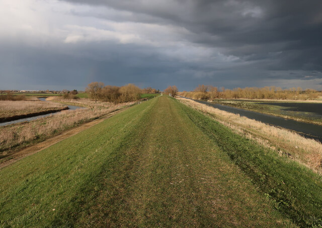
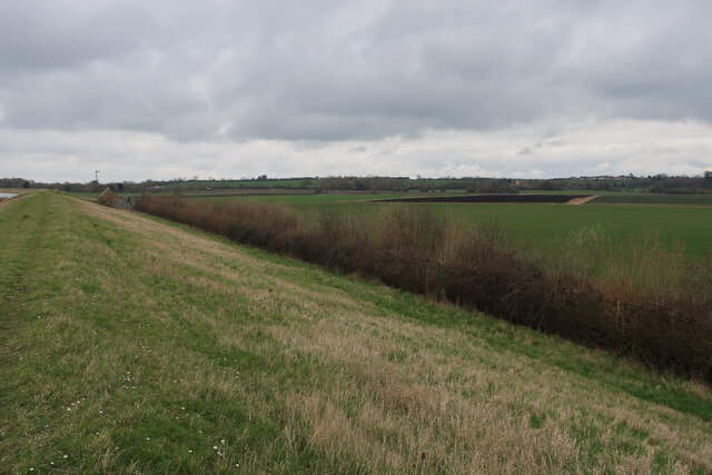
The downs in South Fen are characterized by their rolling hills and gentle slopes, providing breathtaking panoramic views of the surrounding countryside. These grassy meadows are home to a variety of flora and fauna, with wildflowers such as harebells and orchids dotting the landscape during the summer months. The downs also offer excellent opportunities for hiking and walking, with well-maintained trails that wind through the undulating terrain.

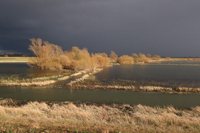
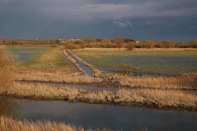
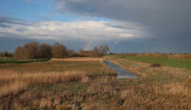
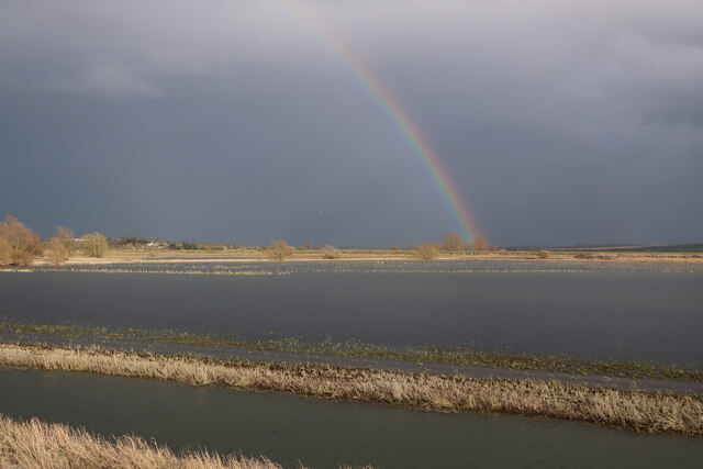
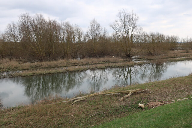
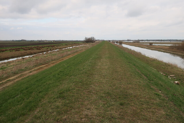
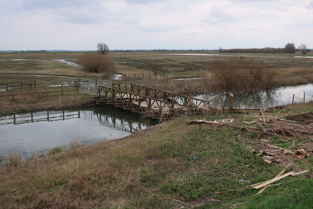
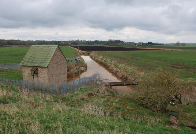
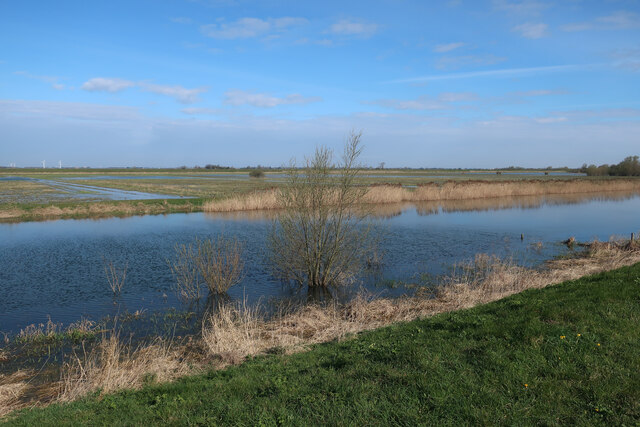
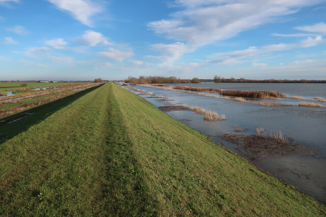
In contrast, the moorland areas of South Fen are characterized by their wet and marshy landscapes. Dense heather and peat bogs dominate the scenery, creating a unique habitat for a variety of bird species, including curlews, lapwings, and snipes. The moorland areas are a haven for birdwatchers and nature enthusiasts, providing ample opportunities for bird spotting and wildlife observation.

South Fen is also home to several small villages and hamlets, each with its own unique charm and character. These rural communities offer a glimpse into the traditional English countryside, with thatched cottages, picturesque churches, and vibrant village greens.

Overall, South Fen, Cambridgeshire offers visitors a wonderful blend of downs and moorland landscapes, providing a peaceful and idyllic setting for nature lovers and those seeking a break from the hustle and bustle of city life.

If you have any feedback on the listing, please let us know in the comments section below.
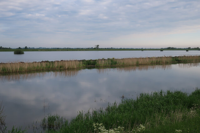
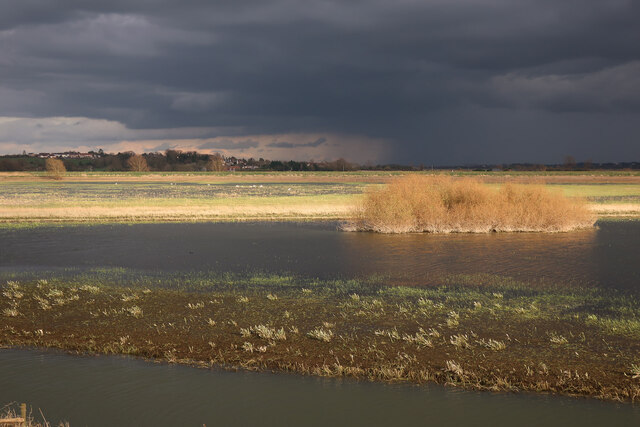
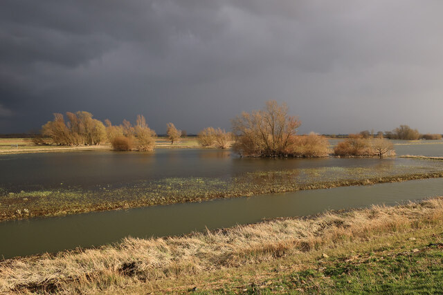
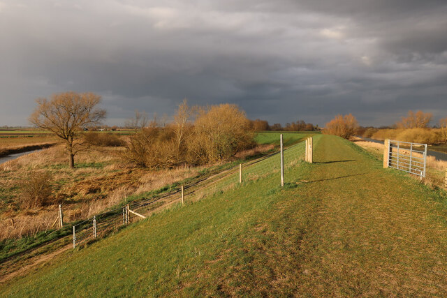
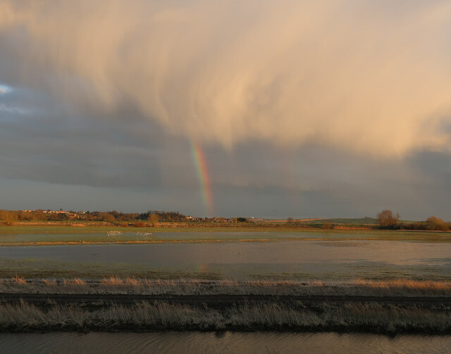
South Fen Images

Images are sourced within 2km of 52.375578/0.090015212 or Grid Reference TL4277. Thanks to Geograph Open Source API. All images are credited.

Spring flooding from Chain Corner In winter, the water is valuable for wildfowl but in spring it is very damaging for ground nesting birds, especially waders. It is getting more common and mitigation areas of wet grassland have been created outside the washes where water levels can be more easily controlled.
Spring flooding from Chain Corner
In winter, the water is valuable for wildfowl but in spring it is very damaging for ground nesting birds, especially waders. It is getting more common and mitigation areas of wet grassland have been created outside the washes where water levels can be more easily controlled.
Ouse Washes near Sutton Gault Water levels dropping, giving good feeding conditions for birds just before migration.
Ouse Washes near Sutton Gault
Water levels dropping, giving good feeding conditions for birds just before migration.
Ouse Washes near Sutton Gault Water levels dropping after a very wet winter.
Ouse Washes near Sutton Gault
Water levels dropping after a very wet winter.
Old Bedford Barrier Bank The northwest side of the Ouse Washes, looking towards the bend in the bank at  The Gullet.
Old Bedford Barrier Bank
The northwest side of the Ouse Washes, looking towards the bend in the bank at The Gullet.
Ouse Washes near Sutton Gault Water level receding after a wet winter.
Ouse Washes near Sutton Gault
Water level receding after a wet winter.
Old Bedford Barrier Bank With the Counter Drain on the outside and the Old Bedford River on the inside of the washes.
Old Bedford Barrier Bank
With the Counter Drain on the outside and the Old Bedford River on the inside of the washes.
Rainbow over the Ouse Washes With water levels dropping after a wet winter, giving excellent conditions for birds to feed well before migration.
Rainbow over the Ouse Washes
With water levels dropping after a wet winter, giving excellent conditions for birds to feed well before migration.
Ditch in the Ouse Washes
Counter Wash from The Gullet The Counter Drain runs outside the Ouse Washes.
Counter Wash from The Gullet
The Counter Drain runs outside the Ouse Washes.
Rainbow over the Ouse Washes Looking across the washes towards Sutton.
Rainbow over the Ouse Washes
Looking across the washes towards Sutton.
Wet woodland in the Ouse Washes The channel inside the flood bank at the southern end of the washes is called the Old Bedford River. The name swaps to the Counter Drain at Welches Dam, with this channel becoming the River Delph.
Wet woodland in the Ouse Washes
The channel inside the flood bank at the southern end of the washes is called the Old Bedford River. The name swaps to the Counter Drain at Welches Dam, with this channel becoming the River Delph.
Old Bedford Barrier Bank The northwest side of the Ouse Washes.
Old Bedford Barrier Bank
The northwest side of the Ouse Washes.
Jolly Banker's Bridge over Old Bedford River With debris left by the falling water levels after a very wet winter.
Jolly Banker's Bridge over Old Bedford River
With debris left by the falling water levels after a very wet winter.
Fields by Hundred Foot Bank
Pumping station by Hundred Foot Bank Pumping water up into the Ouse Washes.
Pumping station by Hundred Foot Bank
Pumping water up into the Ouse Washes.
Drained field by Hundred Foot Bank Standing water drained off the field after a very wet winter.
Drained field by Hundred Foot Bank
Standing water drained off the field after a very wet winter.
Ouse Washes at Chain Corner
Old Bedford Barrier Bank The northwest side of the Ouse Washes, which are doing their job of holding excess water from the Great Ouse and the low-lying Fens.
Old Bedford Barrier Bank
The northwest side of the Ouse Washes, which are doing their job of holding excess water from the Great Ouse and the low-lying Fens.
Show me another place!

South Fen is located at Grid Ref: TL4277 (Lat: 52.375578, Lng: 0.090015212)

Division: Isle of Ely

Administrative County: Cambridgeshire

District: East Cambridgeshire

Police Authority: Cambridgeshire

What 3 Words

///arranged.essay.systems. Near Sutton, Cambridgeshire

Nearby Locations

South Fen

Related Wikis

Tracked Hovercraft

Tracked Hovercraft was an experimental high-speed train developed in the United Kingdom during the 1960s. It combined two British inventions, the hovercraft...

Sutton-in-the-Isle

Sutton or Sutton-in-the-Isle is a village and civil parish in the county of Cambridgeshire in England, near the city of Ely. The "in-the-Isle" suffix refers...

Sutton railway station (Cambridgeshire)

Sutton railway station was a station in Sutton, Cambridgeshire on the Ely and St Ives Railway. The first station opened in 1866 but it became the goods...

Elean power station

Elean power station is a straw-fired biomass power station in Cambridgeshire, England. At a capacity of 38 MW, it was the largest straw-fired power plant...

Mepal

Mepal is a village in Cambridgeshire, England. Mepal is part of the East Cambridgeshire district, and is located just north of the A142 road between Ely...

Earith Bridge railway station

Earith Bridge railway station was a station in Earith, Cambridgeshire on the Ely and St Ives Railway. It was closed to regular passenger trains in 1931...

Old Bedford River

The Old Bedford River is an artificial, partial diversion of the waters of the River Great Ouse in the Fens of Cambridgeshire, England. It was named after...

Haddenham railway station (Cambridgeshire)

Haddenham railway station was a station in Haddenham, Cambridgeshire. It was first opened in 1866 by the Ely, Haddenham and Sutton Railway. It closed to...

Nearby Amenities

Located within 500m of 52.375578,0.090015212
South Fen
Place: locality
Lat/Long: 52.3795256/0.0912037
The data included in this document is from www.openstreetmap.org. The data is made available under ODbL.

Have you been to South Fen?

Leave your review of South Fen below (or comments, questions and feedback).