Flag Fen
Downs, Moorland in Northamptonshire
England
Flag Fen
Flag Fen is an archaeological site located in Northamptonshire, England. Situated in the heart of the Fens, an area characterized by low-lying marshy land, Flag Fen is a unique and historically significant site. It was discovered in 1982 during the construction of a drainage ditch and has since become a popular destination for historians, archaeologists, and tourists alike.
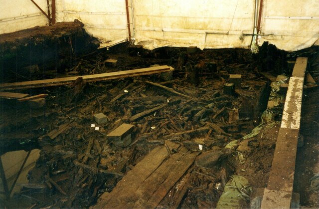
The site is renowned for its well-preserved relics from the Bronze Age, particularly its ancient wooden causeway. This remarkable structure, almost a kilometer long, was constructed by the inhabitants of the area around 1300 BCE. It is believed to have served as a pathway or road across the marshy fenland, connecting various islands and settlements.
In addition to the wooden causeway, numerous artifacts have been excavated at Flag Fen, shedding light on the daily lives of its Bronze Age inhabitants. These include tools, weapons, pottery, and jewelry, all providing insights into their technology, craftsmanship, and trading networks.
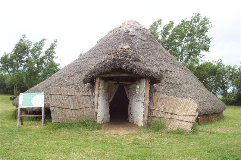
The site also features a reconstructed Bronze Age roundhouse, offering visitors a glimpse into the past and the chance to experience how people lived during that time. A visitor center, educational facilities, and guided tours are available, providing a comprehensive understanding of the site's historical significance and the ongoing research being conducted.
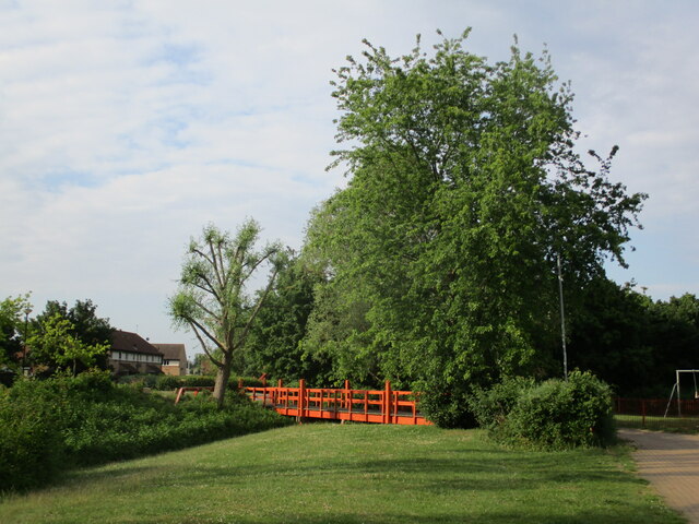
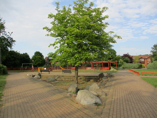
Flag Fen is not only a site of archaeological importance but also a place of natural beauty. The surrounding landscape of downs and moorland adds to the tranquility and charm of the area, making it a must-visit destination for those interested in history, nature, and the ancient world.
If you have any feedback on the listing, please let us know in the comments section below.
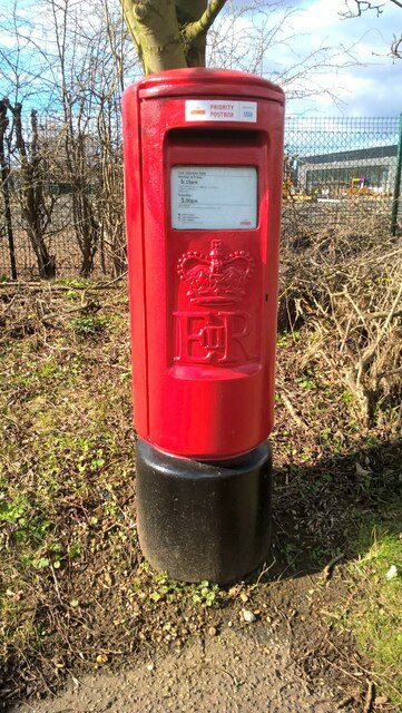
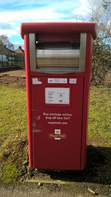
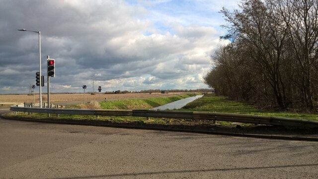
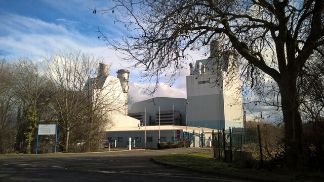
Flag Fen Images
Images are sourced within 2km of 52.582781/-0.18965791 or Grid Reference TL2299. Thanks to Geograph Open Source API. All images are credited.

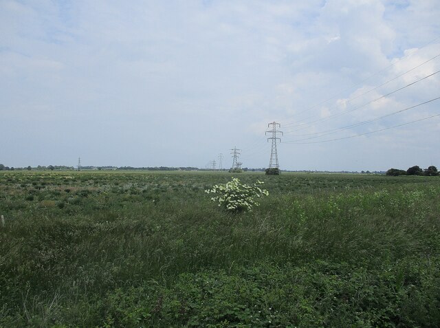
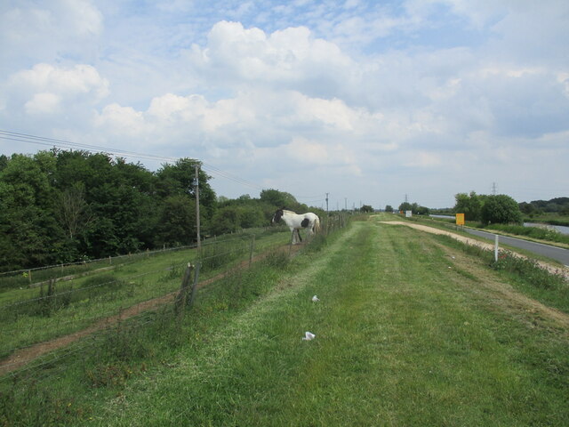
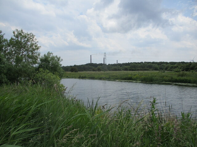
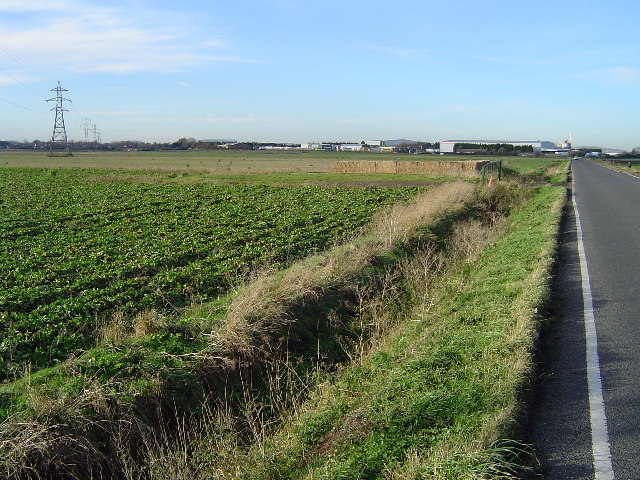
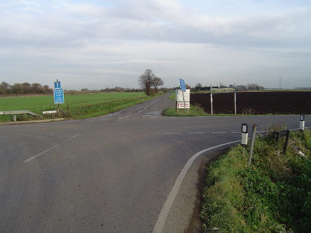
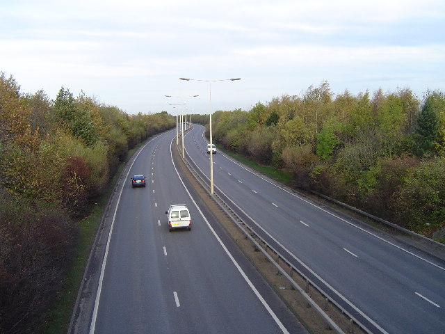
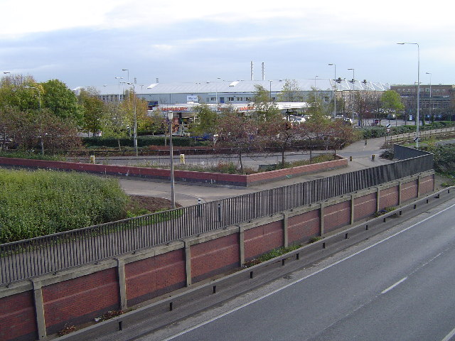
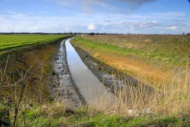
Flag Fen is located at Grid Ref: TL2299 (Lat: 52.582781, Lng: -0.18965791)
Division: Soke of Peterborough
Unitary Authority: Peterborough
Police Authority: Cambridgeshire
What 3 Words
///proof.output.plots. Near Eye, Cambridgeshire
Nearby Locations
Related Wikis
Flag Fen
Flag Fen, east of Peterborough, England, is a Bronze Age site which was constructed about 3500 years ago and consists of more than 60,000 timbers arranged...
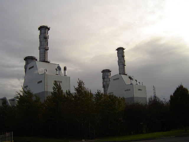
Peterborough Power Station
Peterborough Power Station is a 360MW gas-fired power station at Eastern Industry, Fengate in the city of Peterborough, Cambridgeshire in the United Kingdom...

Newark, Peterborough
Newark was a hamlet of the parish of Saint Mary the Virgin in the Soke of Peterborough in the United Kingdom. One mile and a half (2.4 km) north-east-by...
Parnwell
Parnwell is residential area of the city of Peterborough, in the Peterborough district, in the ceremonial county of Cambridgeshire, England. For electoral...
Nearby Amenities
Located within 500m of 52.582781,-0.18965791Have you been to Flag Fen?
Leave your review of Flag Fen below (or comments, questions and feedback).