Minting Park
Downs, Moorland in Lincolnshire East Lindsey
England
Minting Park
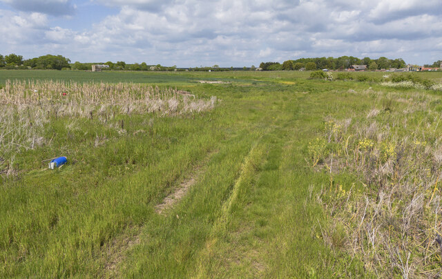
Minting Park is a picturesque area located in the county of Lincolnshire, England. Nestled within the stunning Downs and Moorland landscape, this park offers visitors a serene and tranquil escape from the hustle and bustle of city life.
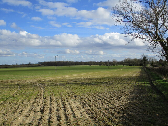
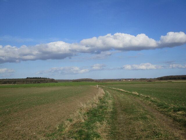
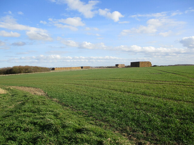
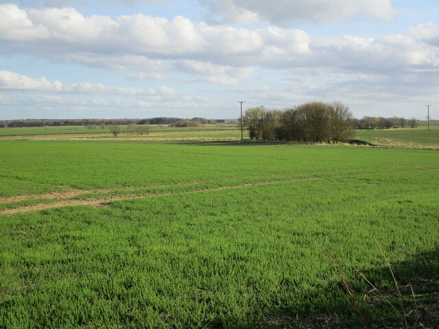
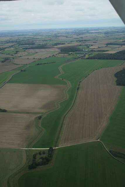
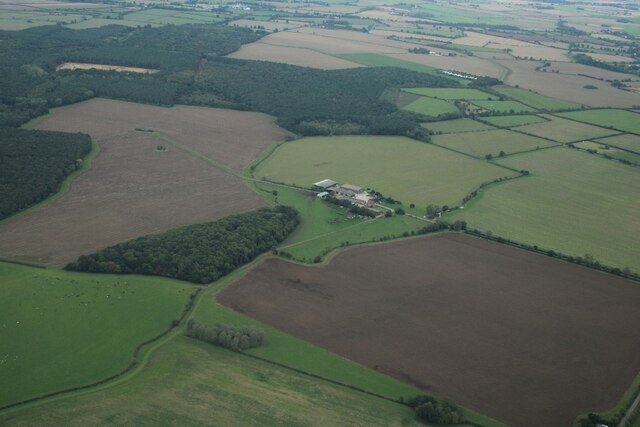
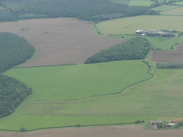
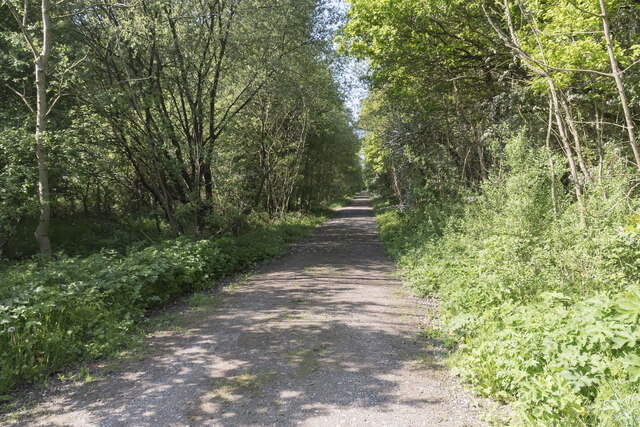
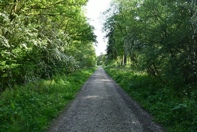
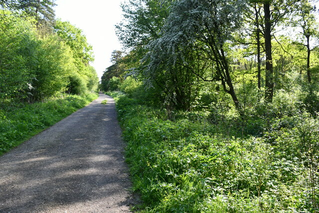
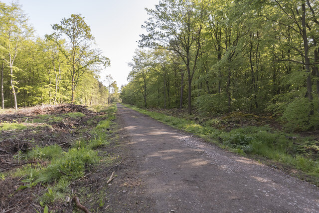
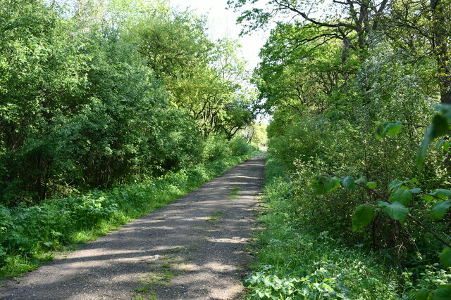
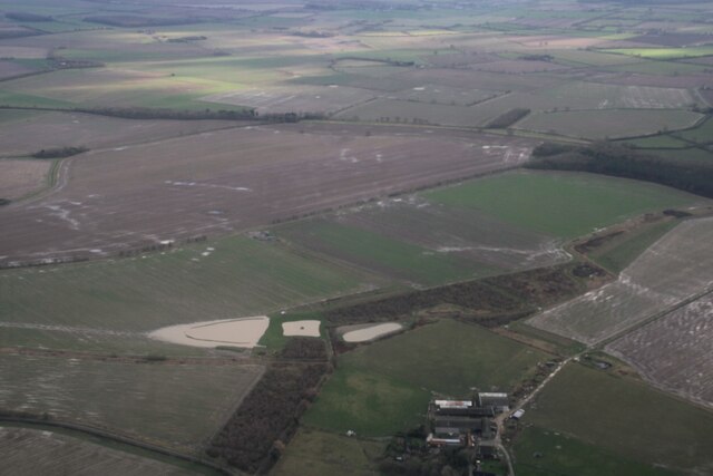
Covering an expansive area of lush greenery and rolling hills, Minting Park boasts breathtaking views of the surrounding countryside. The park is home to an array of diverse flora and fauna, making it a haven for nature enthusiasts and wildlife lovers. Visitors can explore the park's extensive network of walking trails, allowing them to immerse themselves in the beauty of the natural surroundings.
Minting Park is also renowned for its historical significance. The park is dotted with ancient landmarks and archaeological sites, providing a glimpse into the area's rich past. These include remnants of medieval settlements and burial mounds, offering visitors a chance to delve into the region's fascinating history.
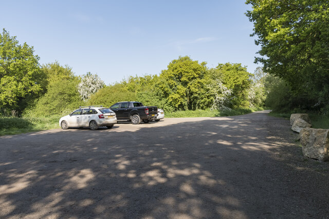
For those seeking outdoor activities, Minting Park offers a range of recreational opportunities. The park features well-maintained picnic areas and scenic spots, perfect for enjoying a leisurely lunch or a family outing. Additionally, the park provides facilities for cycling, horse riding, and birdwatching, catering to the interests of all visitors.
Whether you are looking to reconnect with nature, explore history, or simply enjoy a peaceful day out, Minting Park in Lincolnshire is a destination that promises to offer a truly memorable experience. Its idyllic setting and diverse range of attractions make it a must-visit location for both locals and tourists alike.
If you have any feedback on the listing, please let us know in the comments section below.
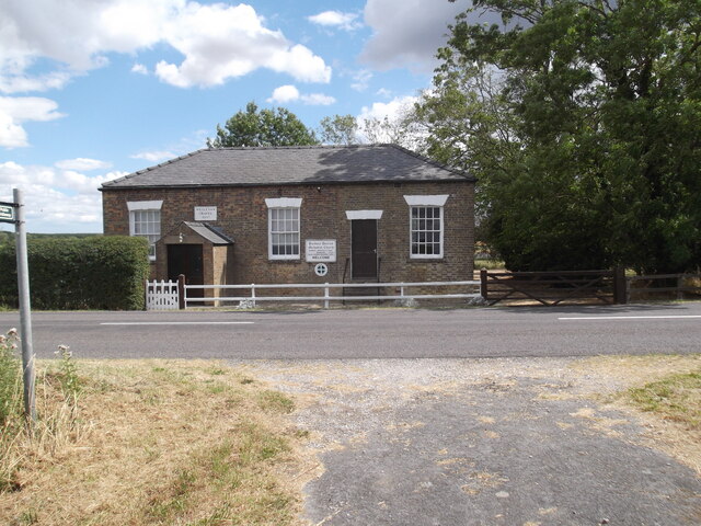
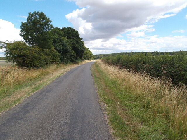
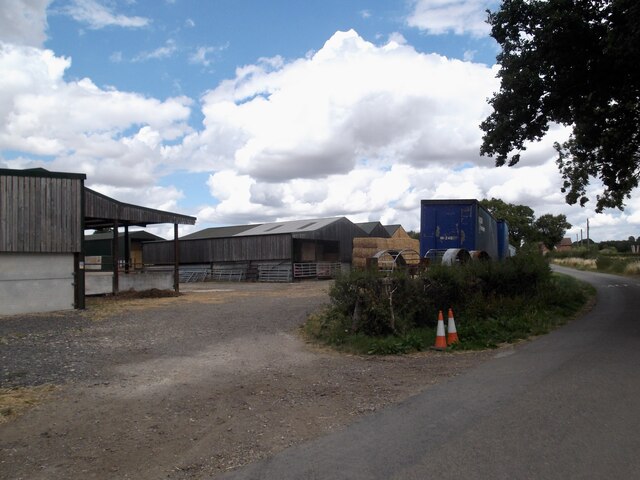
Minting Park Images
Images are sourced within 2km of 53.242433/-0.27818797 or Grid Reference TF1473. Thanks to Geograph Open Source API. All images are credited.
Minting Park is located at Grid Ref: TF1473 (Lat: 53.242433, Lng: -0.27818797)
Administrative County: Lincolnshire
District: East Lindsey
Police Authority: Lincolnshire
What 3 Words
///nuggets.crust.wreck. Near Bardney, Lincolnshire
Nearby Locations
Related Wikis

RAF Bardney
Royal Air Force Bardney or RAF Bardney is a former Royal Air Force station located 2 miles (3.2 km) north of Bardney, Lincolnshire, England and 10 miles...

Kingthorpe railway station
Kingthorpe railway station was a railway station that served the village of Kingthorpe, Lincolnshire, England between 1874 and 1956, on the Louth to Bardney...

Gautby
Gautby ( GAWT-bee) is a village in the East Lindsey district of Lincolnshire, England. The village is situated 6 miles (10 km) north-west from the town...
Kingthorpe
Kingthorpe is a hamlet in the West Lindsey district of Lincolnshire, England. The hamlet is in the civil parish of Apley, and is 10 miles (16 km) east...
Nearby Amenities
Located within 500m of 53.242433,-0.27818797Have you been to Minting Park?
Leave your review of Minting Park below (or comments, questions and feedback).