Walkington Wold

Downs, Moorland in Yorkshire

England

Walkington Wold

Road junction south of Walkington
Road junction south of Walkington Credit: Neil Theasby

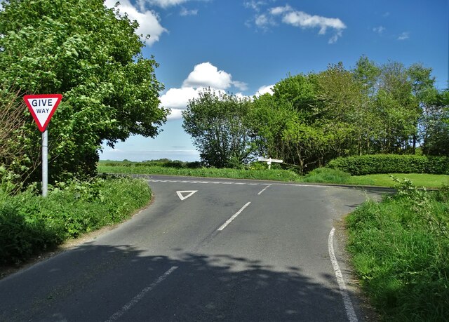
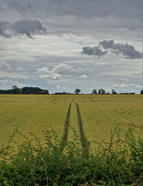
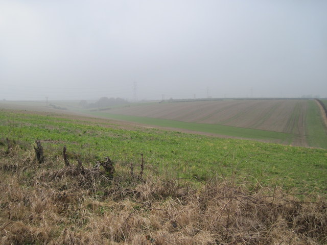
Walkington Wold is a picturesque area located in the East Riding of Yorkshire, England. Situated on the outskirts of the charming village of Walkington, the Wold is renowned for its stunning natural beauty and panoramic views. It encompasses a diverse landscape consisting of downs, moorland, and rolling hills.

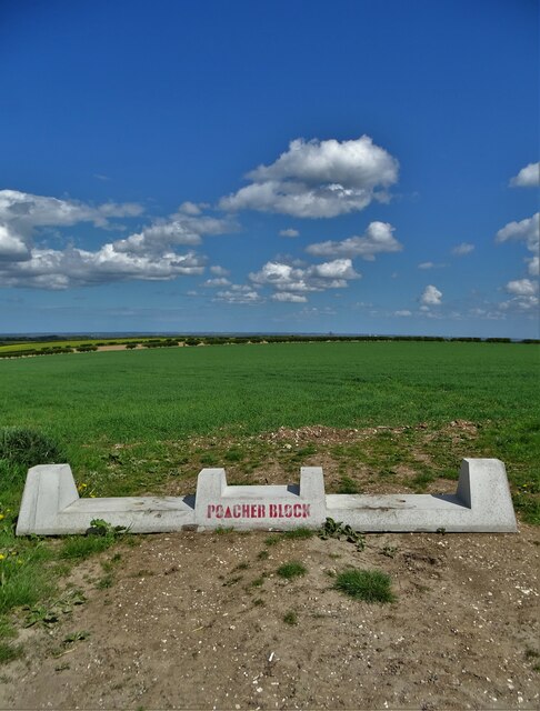
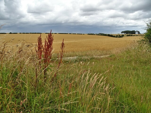
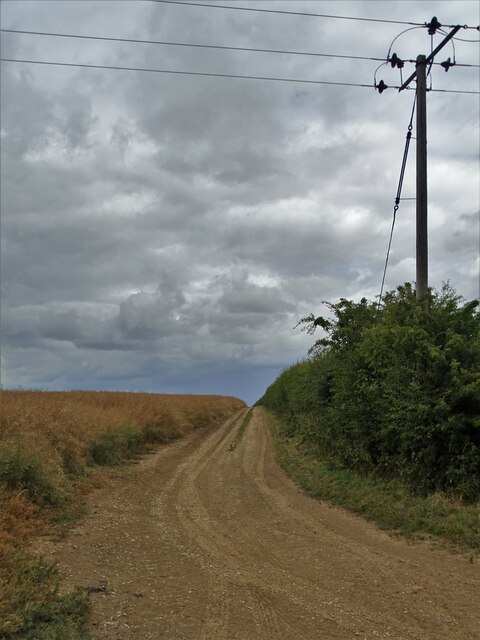
The Wold is characterized by its vast expanses of open grasslands, interspersed with patches of heather and gorse. The area is blessed with fertile soil, which supports a variety of flora and fauna, making it a haven for nature enthusiasts and wildlife lovers. The Wold is home to numerous species of birds, including skylarks and curlews, which can often be spotted soaring above the fields.

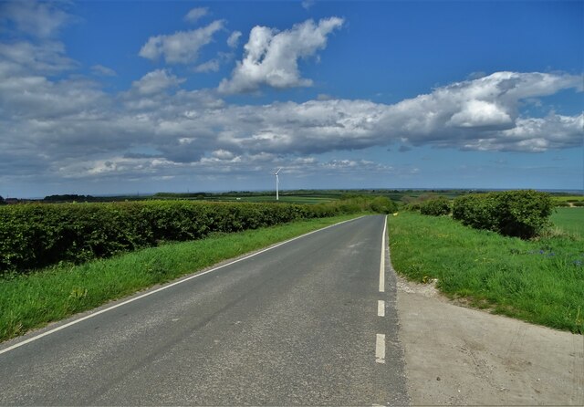
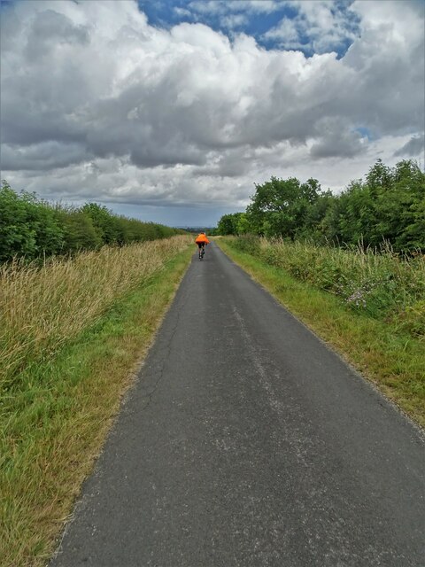
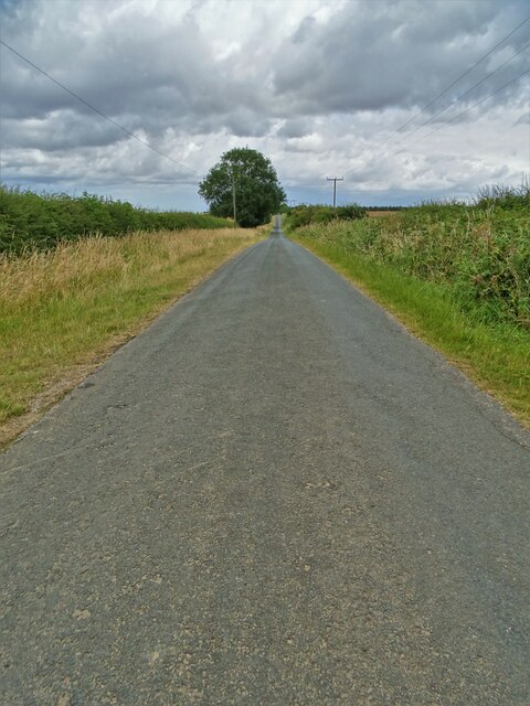
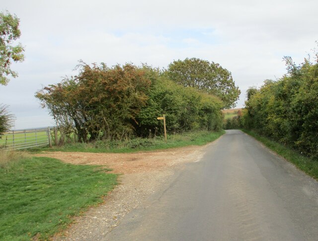
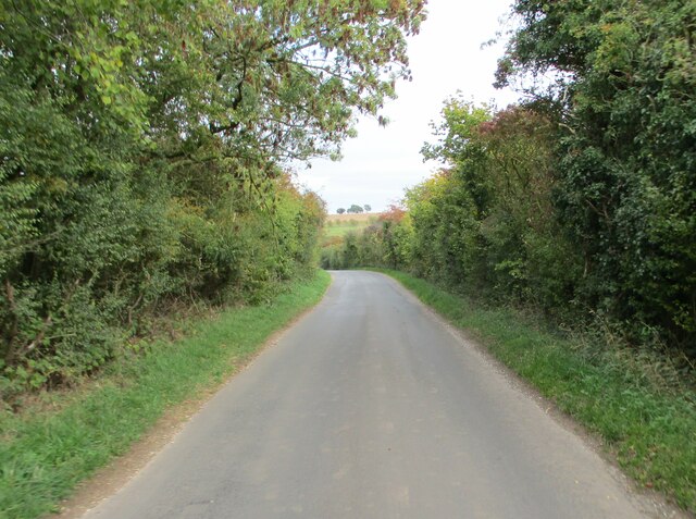
The Walkington Wold offers a plethora of walking and hiking trails, making it a popular destination for outdoor enthusiasts. The paths wind through the undulating terrain, offering breathtaking vistas of the surrounding countryside. On a clear day, visitors can enjoy panoramic views stretching as far as the eye can see, encompassing the Yorkshire Wolds, the Humber Estuary, and even the distant North Sea.

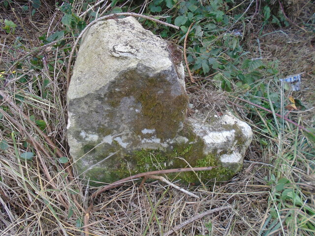
In addition to its natural beauty, Walkington Wold also holds historical significance. The area is dotted with ancient burial mounds and remnants of Iron Age settlements, providing a glimpse into the region's rich past.

Overall, Walkington Wold is a captivating destination that seamlessly combines natural splendor, recreational opportunities, and a touch of history. Whether it's a leisurely stroll, a challenging hike, or simply a moment of tranquility amidst nature, this Yorkshire gem has something to offer for everyone.

If you have any feedback on the listing, please let us know in the comments section below.

Walkington Wold Images

Images are sourced within 2km of 53.817085/-0.52396929 or Grid Reference SE9736. Thanks to Geograph Open Source API. All images are credited.

Road junction south of Walkington
Poacher block by Common Lane Near "The Sprout Shed". These heavy concrete blocks are becoming quite popular in East Yorkshire to deter poachers and other rural criminals. They are placed at field entrances to prevent vehicular access.
Poacher block by Common Lane
Near "The Sprout Shed". These heavy concrete blocks are becoming quite popular in East Yorkshire to deter poachers and other rural criminals. They are placed at field entrances to prevent vehicular access.
Common Lane near Little Weighton
Barley ripening on Ella Hill, Yorkshire Wolds
View to High Hunsley from Littlewood Road
Middlehowe Road near Walkington
Littlewood Road
Littlewood Road
Farm track west of Littlewood Farm
Old milestone The 2 step milestone west of Lion's Den on the B1230 has been avoided by the grass cutter, this time!   It could not be found in 2011 but fortunately is still on its original site.
Old milestone
The 2 step milestone west of Lion's Den on the B1230 has been avoided by the grass cutter, this time! It could not be found in 2011 but fortunately is still on its original site.
Old milestone The milestone west of Lion's Den with grass cleared.   Compare with photograph taken over 20 years ago <a href="https://www.geograph.org.uk/photo/6037630">SE9635 : Old Milestone by the B1230, Walkington Parish</a>.   Although the verge cutter avoided it in 2022 more damage has been done to this stone in the intervening years.   Looking at the two holes below the level of the bottom step it would have had a metal plate attached.  <a href="https://www.geograph.org.uk/photo/6037630">SE9635 : Old Milestone by the B1230, Walkington Parish</a> shows a third hole at the top.
Old milestone
The milestone west of Lion's Den with grass cleared. Compare with photograph taken over 20 years ago SE9635 : Old Milestone by the B1230, Walkington Parish. Although the verge cutter avoided it in 2022 more damage has been done to this stone in the intervening years. Looking at the two holes below the level of the bottom step it would have had a metal plate attached. SE9635 : Old Milestone by the B1230, Walkington Parish shows a third hole at the top.
Minor  road  from  Nth  Newbold  toward  Beverley The footpath on the left takes you over fields to Cold Harbour farm
Minor road from Nth Newbold toward Beverley
The footpath on the left takes you over fields to Cold Harbour farm
Minor  road  dipping  down  into  Ox  Dale No traffic is a plus on this road
Minor road dipping down into Ox Dale
No traffic is a plus on this road
All Pylon One of the major transmission lines from the Holderness area towards York.  At this point, the line is in the lower section of the southern Yorkshire Wolds
.
All Pylon
One of the major transmission lines from the Holderness area towards York. At this point, the line is in the lower section of the southern Yorkshire Wolds .
Crawberry  Dale From Dale Gate, stopped raining but misty
Crawberry Dale
From Dale Gate, stopped raining but misty
Walkington Wold picnic site in winter [1] With a frost on the ground at noon, but it is December.
Walkington Wold picnic site in winter [1]
With a frost on the ground at noon, but it is December.
Walkington Wold picnic site in winter [2] The bins have created a little pocket of warmth, thawing the noonday frost.
Walkington Wold picnic site in winter [2]
The bins have created a little pocket of warmth, thawing the noonday frost.
Crawberry Hill Well Site This was an oil test drill site. The operation finished, for the time being at least, in July 2013, and all equipment was removed from site.
Crawberry Hill Well Site
This was an oil test drill site. The operation finished, for the time being at least, in July 2013, and all equipment was removed from site.
Walkington to Little Weighton road: roadworks notice Complete with illustrations, to soften the blow?
Walkington to Little Weighton road: roadworks notice
Complete with illustrations, to soften the blow?
Show me another place!

Walkington Wold is located at Grid Ref: SE9736 (Lat: 53.817085, Lng: -0.52396929)

Division: East Riding

Unitary Authority: East Riding of Yorkshire

Police Authority: Humberside

What 3 Words

///exclusive.secures.printout. Near Walkington, East Yorkshire

Related Wikis

Beverley Rural District

Beverley was a rural district in the East Riding of Yorkshire, England from 1894 to 1974.The district surrounded but did not include Beverley, which formed...

Walkington Hoard

The Walkington Hoard is a hoard of Corieltavian gold staters. They are a widely-scattered hoard which have been found by metal-detectorists over the course...

Walkington

Walkington is a village and civil parish in the East Riding of Yorkshire, England. It is situated approximately 3 miles (4.8 km) to the south-west of the...

Humberside

Humberside () was a non-metropolitan and ceremonial county in Northern England from 1 April 1974 until 1 April 1996. It was composed of land from either...

Nearby Amenities

Located within 500m of 53.817085,-0.52396929
Millenium War Memorial
Description: Warm memorial installed at the millennium celebrating the anniversary of the end of the war.
Historic: memorial
Material: stone
Memorial: war_memorial
Lat/Long: 53.8188476/-0.5279084
The data included in this document is from www.openstreetmap.org. The data is made available under ODbL.

Have you been to Walkington Wold?

Leave your review of Walkington Wold below (or comments, questions and feedback).