Nether Whitacre Heath

Downs, Moorland in Warwickshire North Warwickshire

England

Nether Whitacre Heath

Hams Lane at Church Lane, Lea Marston
Hams Lane at Church Lane, Lea Marston Credit: Ian S

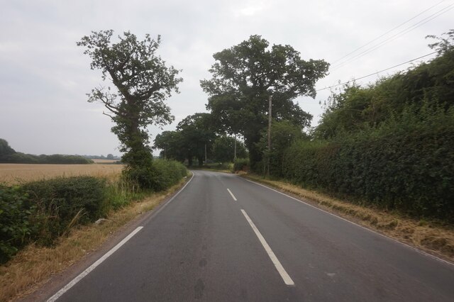
Nether Whitacre Heath is a picturesque area located in Warwickshire, England. Known for its stunning Downs and Moorland landscapes, this region offers a diverse and captivating natural environment.

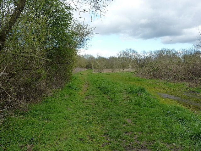
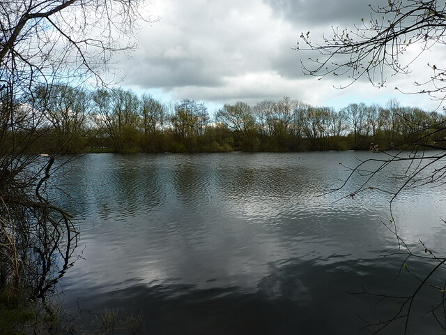
Situated in the heart of the country, Nether Whitacre Heath is surrounded by rolling hills, expansive meadows, and dense woodlands, making it a haven for outdoor enthusiasts and nature lovers. The terrain consists of undulating slopes, providing panoramic views of the surrounding countryside.

The heath is home to a rich variety of flora and fauna, including heather, gorse, and mosses. These species thrive in the acidic soils found in the area, creating a vibrant tapestry of colors that change with the seasons. The heath is also inhabited by an array of wildlife, such as rabbits, foxes, and various species of birds, making it a popular destination for birdwatchers and wildlife photographers.

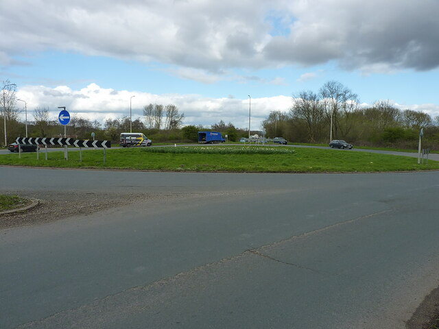
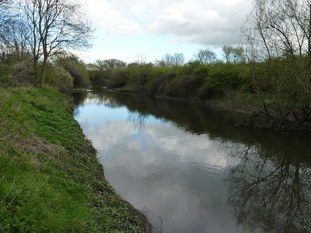
Visitors to Nether Whitacre Heath can explore its many footpaths and trails, offering opportunities for hiking, cycling, and horse riding. The area is also intersected by several rivers and streams, providing opportunities for fishing and water-based activities.

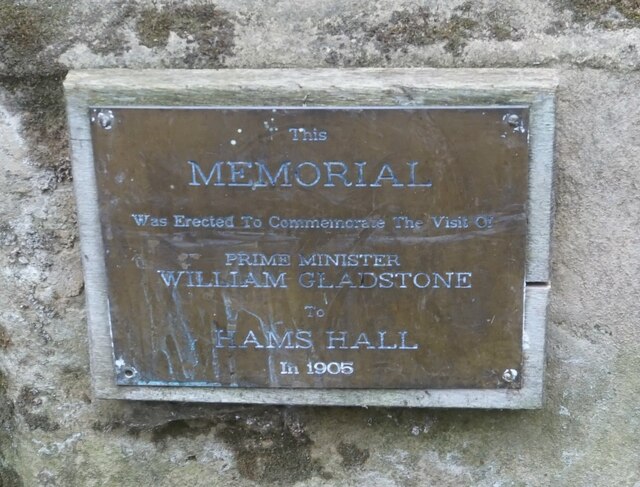
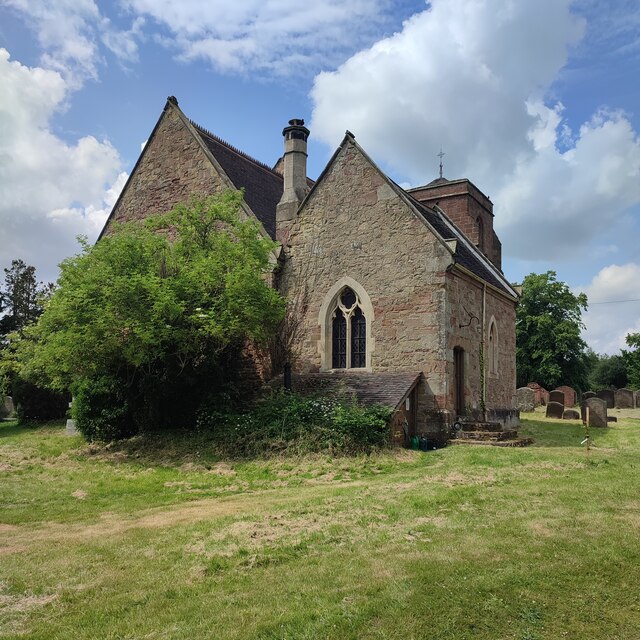
In addition to its natural beauty, Nether Whitacre Heath also boasts historical significance. The remains of ancient settlements and burial mounds can be found scattered throughout the area, providing glimpses into its past.

Overall, Nether Whitacre Heath is a captivating destination that offers a combination of natural beauty, outdoor activities, and historical intrigue. Whether it's a leisurely walk through its stunning landscapes or a deeper exploration of its cultural heritage, this region has something to offer for everyone.

If you have any feedback on the listing, please let us know in the comments section below.

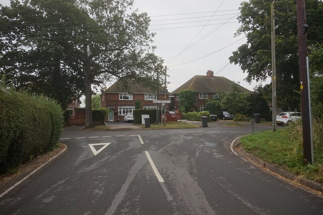
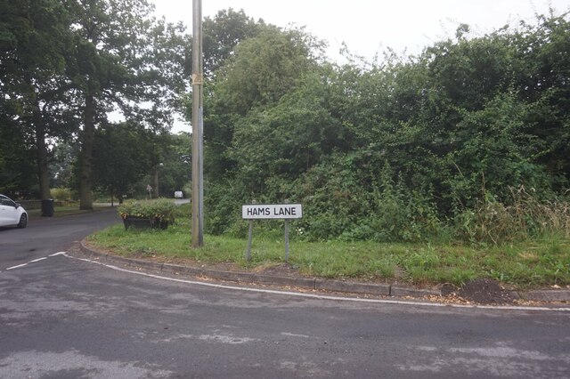
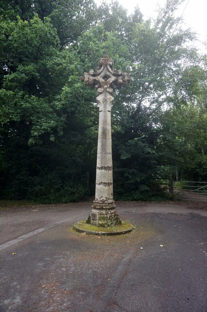
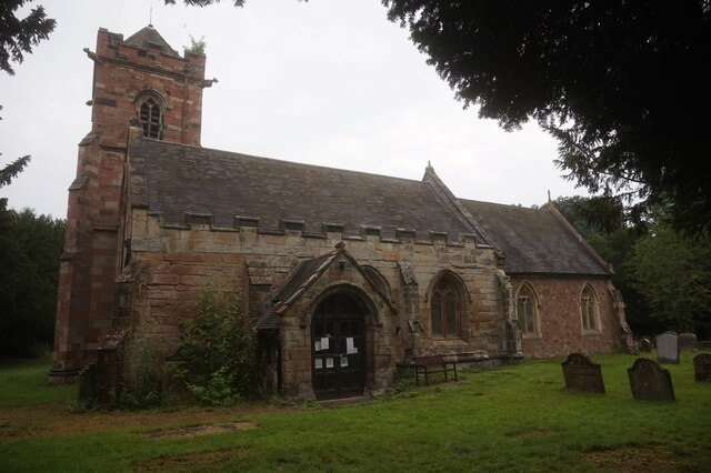
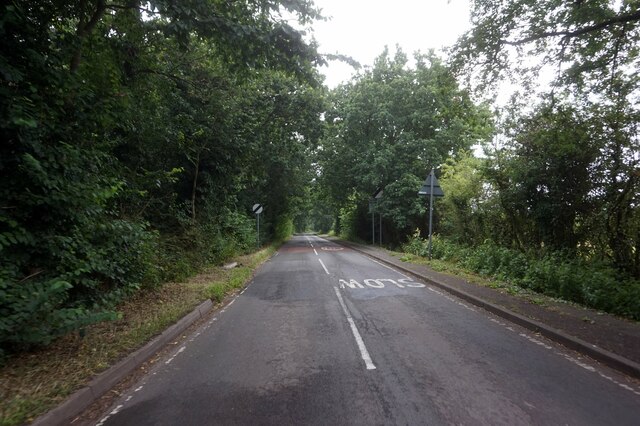
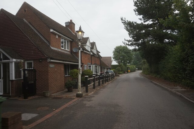
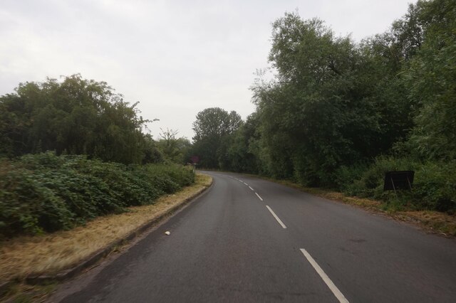
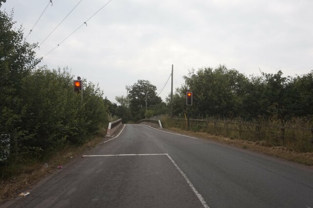
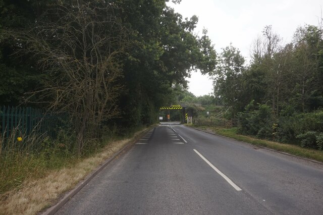
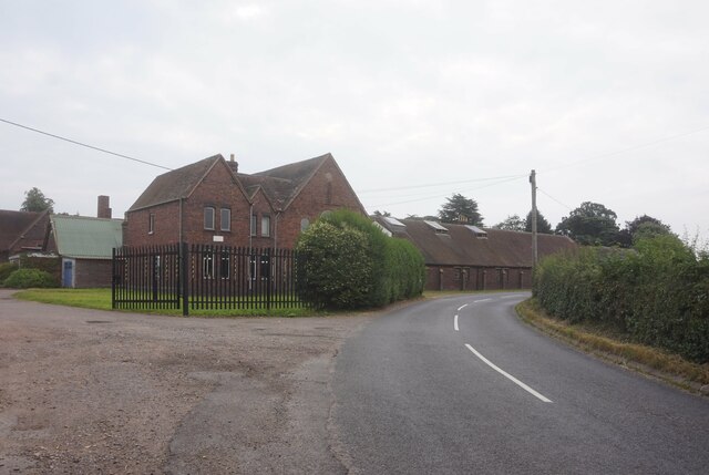
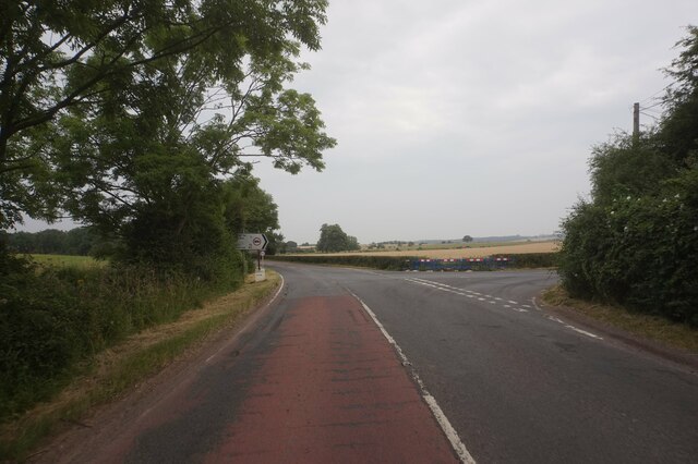
Nether Whitacre Heath Images

Images are sourced within 2km of 52.537632/-1.6866152 or Grid Reference SP2193. Thanks to Geograph Open Source API. All images are credited.

Hams Lane at Church Lane, Lea Marston
Memorial to William Gladstone PM "This memorial was erected to Commemorate the visit of Prime Minister William Gladstone to Hams Hall in 1905".  Research by "tuppence" a geograph moderator suggests that the visit took place in 1895.  <a title="https://www.geograph.org.uk/photo/6994048" href="https://www.geograph.org.uk/photo/6994048">Link</a>
Memorial to William Gladstone PM
"This memorial was erected to Commemorate the visit of Prime Minister William Gladstone to Hams Hall in 1905". Research by "tuppence" a geograph moderator suggests that the visit took place in 1895. Link
Memorial to William Gladstone PM "This memorial was erected to Commemorate the visit of Prime Minister William Gladstone to Hams Hall in 1905". Research by "tuppence" a geograph moderator suggests that the visit took place in 1895. 
   <a title="https://www.geograph.org.uk/photo/6994046" href="https://www.geograph.org.uk/photo/6994046">Link</a>
Memorial to William Gladstone PM
"This memorial was erected to Commemorate the visit of Prime Minister William Gladstone to Hams Hall in 1905". Research by "tuppence" a geograph moderator suggests that the visit took place in 1895. Link
St John the Baptist Church, Lea Marston
Haunch Lane towards Kingsbury Road, A4097
Haunch Lane towards Kingsbury Road A4097
Coton Road towards Whitacre Heath
Traffic lights on Coton Road at Coton Bridge
Rail bridge on Coton Road
Kudos Manufacturing Halloughton Grange. Whitacre Heath.
Kudos Manufacturing
Halloughton Grange. Whitacre Heath.
Coventry Road A4098 at Hurley turnoff
Knowle Hill towards Hurley
Marston roundabout on the A4097
Permissive path through the Lea Marston lakes Part of a network of paths, not all marked as rights of way, through the various lakes here in the valley of the River Tame.
Permissive path through the Lea Marston lakes
Part of a network of paths, not all marked as rights of way, through the various lakes here in the valley of the River Tame.
Lea Marston lakes One of the many pools in the valley; <a href="https://www.geograph.org.uk/photo/6169652">SP2194 : Lake near Lea Marston</a> suggests that this is a flooded former gravel pit.
Lea Marston lakes
One of the many pools in the valley; SP2194 : Lake near Lea Marston suggests that this is a flooded former gravel pit.
A stretch of the River Tame
St Giles' Church
St Giles' Church
Show me another place!

Nether Whitacre Heath is located at Grid Ref: SP2193 (Lat: 52.537632, Lng: -1.6866152)

Administrative County: Warwickshire

District: North Warwickshire

Police Authority: Warwickshire

What 3 Words

///loving.rare.adopters. Near Kingsbury, Warwickshire

Related Wikis

Whitacre Heath

Whitacre Heath is a small village in the North Warwickshire district of the county of Warwickshire in England. It is one of 'The Whitacres' - Whitacre...

Lea Marston

Lea Marston is a village and civil parish on the River Tame in Warwickshire, England, about 7 miles (11 km) south-west of Atherstone. Lea Marston is close...

Ladywalk Reserve

Ladywalk Reserve is a nature reserve on the River Tame, at its confluence with the River Blythe, at Hams Hall in north Warwickshire, England, owned by...

River Bourne, Warwickshire

The River Bourne flows for 10.9 miles (17.6 km) through North Warwickshire, England, and is a tributary of the River Tame. In the 19th century, the river...

Nearby Amenities

Located within 500m of 52.537632,-1.6866152
Addr City: Whitacre Heath
Addr Housename: Yew Tree House
Addr Postcode: B46 2EP
Addr Street: Birmingham Road
Source: survey
Lat/Long: 52.5334699/-1.6880656
Power: pole
Lat/Long: 52.5405105/-1.6812007
Power: pole
Lat/Long: 52.5398629/-1.680624
Power: pole
Lat/Long: 52.5392087/-1.6800205
Power: pole
Lat/Long: 52.5386067/-1.6794439
Generator Method: photovoltaic
Generator Output Electricity: yes
Generator Source: solar
Generator Type: solar_photovoltaic_panel
Location: roof
Power: generator
Lat/Long: 52.5414152/-1.6861385
Power: pole
Source: bing
Lat/Long: 52.5382862/-1.6809927
Power: pole
Ref: 934412
Source: wpd_opendata
Transformer: distribution
Lat/Long: 52.5379298/-1.6827428
Power: pole
Source: bing
Lat/Long: 52.5381068/-1.6818845
Power: pole
Ref: 930112
Source: wpd_opendata
Transformer: distribution
Lat/Long: 52.5384433/-1.6802417
The data included in this document is from www.openstreetmap.org. The data is made available under ODbL.

Have you been to Nether Whitacre Heath?

Leave your review of Nether Whitacre Heath below (or comments, questions and feedback).