Carter Moor
Downs, Moorland in Northumberland
England
Carter Moor
Carter Moor is a vast expanse of moorland located in Northumberland, England. Stretching over several miles, it is a captivating natural landscape that offers visitors a unique experience. Situated in the western part of Northumberland National Park, Carter Moor is known for its stunning views, diverse wildlife, and rich history.
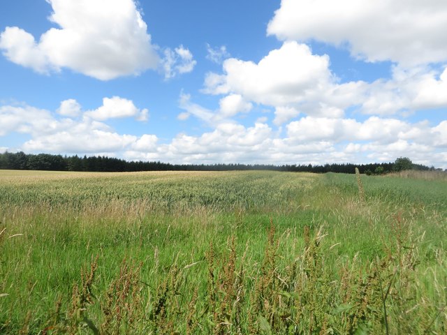
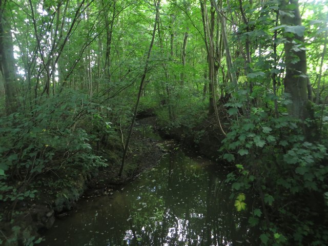
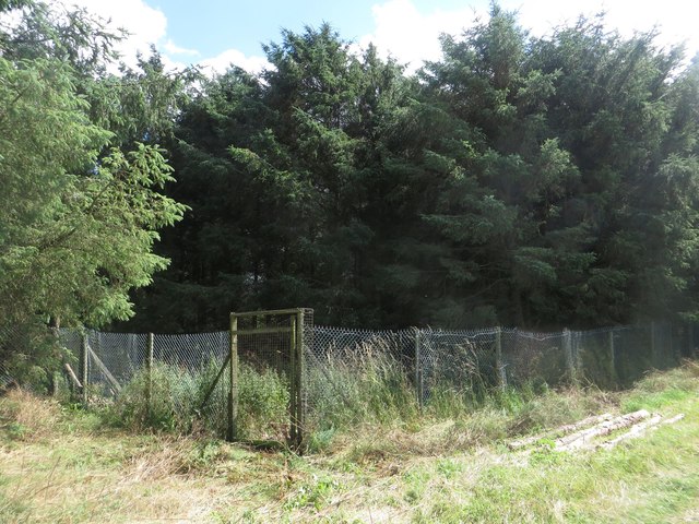
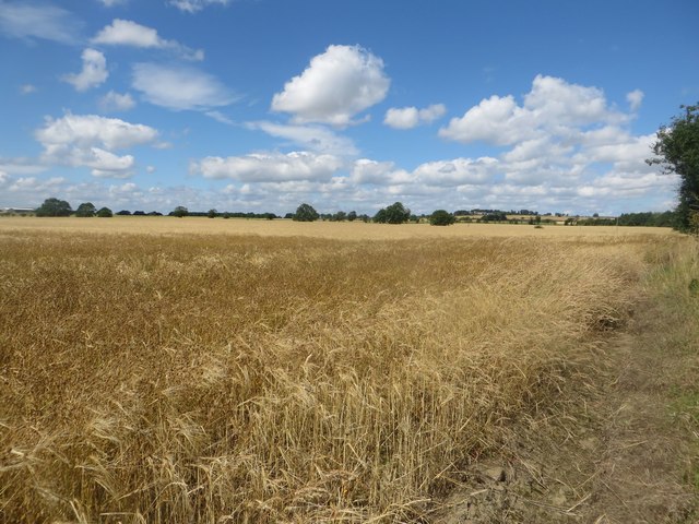
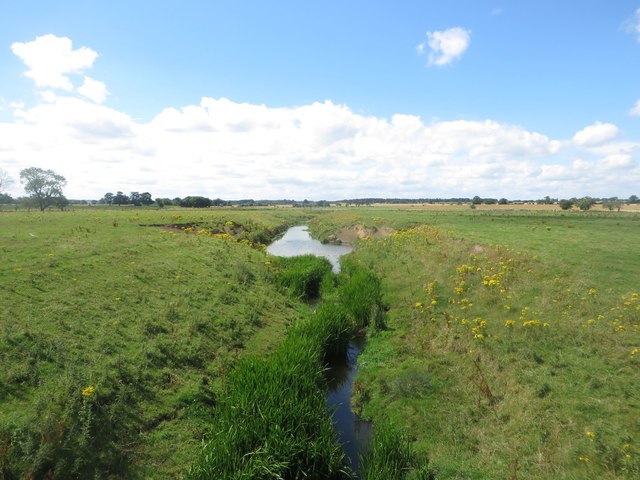
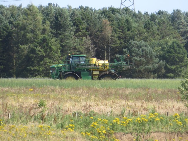
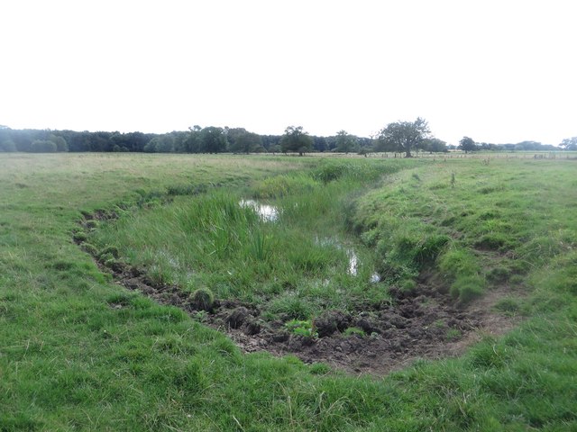
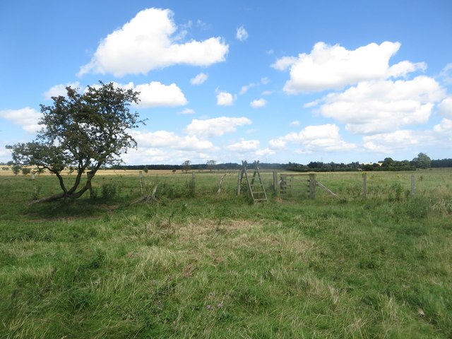
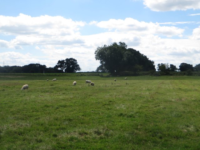
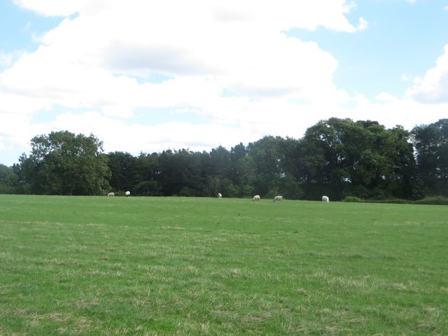
The moorland is characterized by its rolling hills, heather-covered terrain, and expanses of open grassland. These features provide a picturesque backdrop for hikers, nature enthusiasts, and photographers alike. The moorland is home to a variety of bird species, including curlews, lapwings, and red grouse, which can often be spotted soaring through the skies or nesting in the heather.
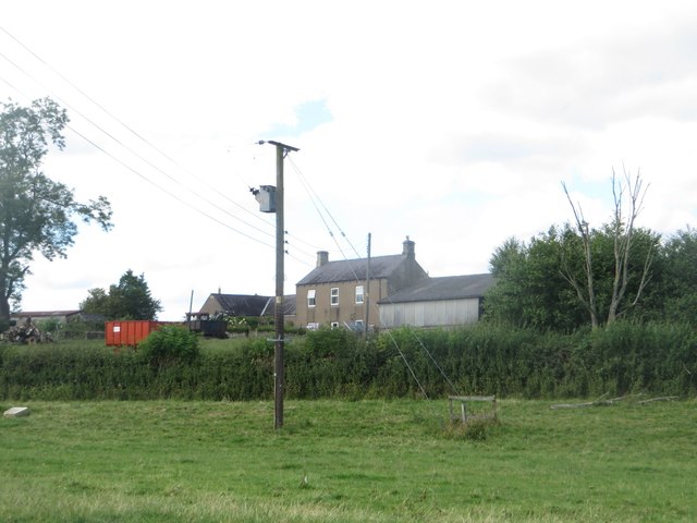
Carter Moor holds significant historical and archaeological importance. The remains of ancient settlements, such as hut circles and stone cairns, can still be found, indicating human activity in the area dating back thousands of years. These remnants offer a glimpse into the lives of past inhabitants and add an air of mystery to the landscape.
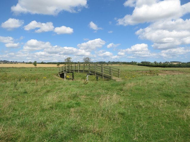
The moorland is crisscrossed by a network of footpaths and trails, allowing visitors to explore its beauty up close. From gentle strolls to more challenging hikes, there is something for everyone, catering to all fitness levels and interests. The open expanses of Carter Moor also make it an ideal location for picnicking, wildlife spotting, and enjoying the tranquility of nature.
In conclusion, Carter Moor in Northumberland is a captivating moorland that offers visitors breathtaking views, a diverse range of wildlife, and a glimpse into the region's rich history. It is a must-visit destination for those seeking to immerse themselves in the beauty of the Northumberland countryside.
If you have any feedback on the listing, please let us know in the comments section below.
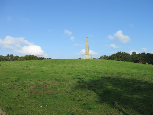
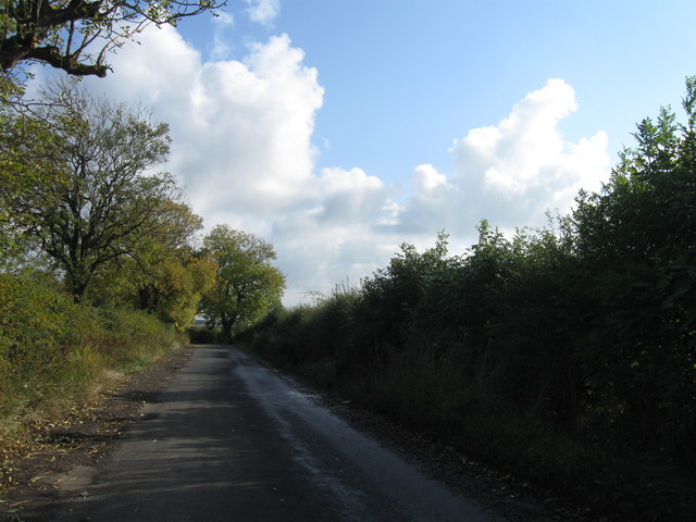
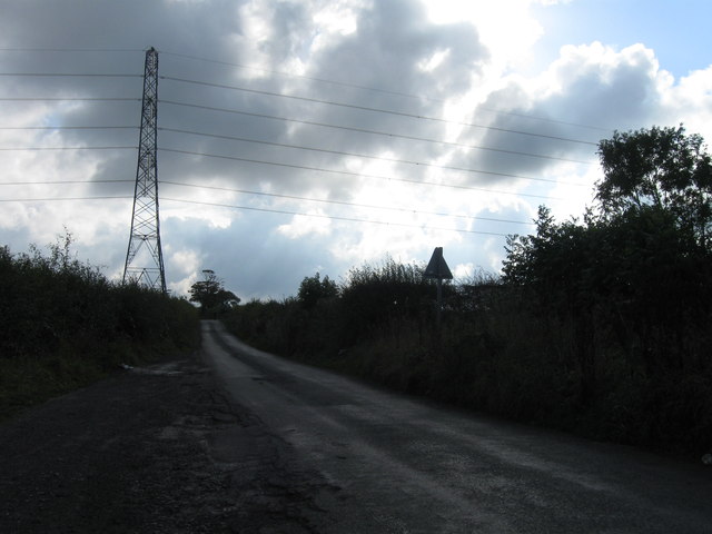
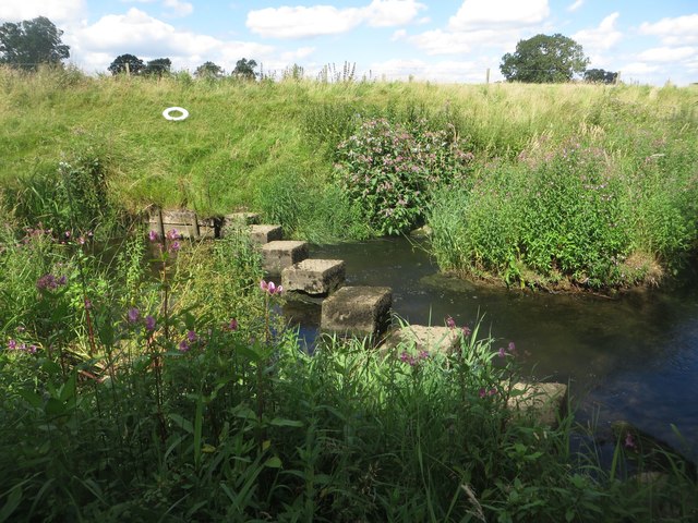
Carter Moor Images
Images are sourced within 2km of 55.090562/-1.7416907 or Grid Reference NZ1677. Thanks to Geograph Open Source API. All images are credited.

Carter Moor is located at Grid Ref: NZ1677 (Lat: 55.090562, Lng: -1.7416907)
Unitary Authority: Northumberland
Police Authority: Northumbria
What 3 Words
///employers.blizzard.enabling. Near Ponteland, Northumberland
Nearby Locations
Related Wikis

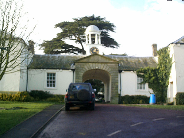
Kirkley Hall
Kirkley Hall is a 17th-century historic country mansion and Grade II listed building in Northumberland, England. The estate is over 190 acres (0.77 km2...

Berwick Hill
Berwick Hill is a village and former civil parish, now in the parish of Ponteland, in the county of Northumberland, England. It is situated to the north...

Ogle Castle
Ogle Castle (grid reference NZ14057908) is a former fortified manor house at Ogle, near Whalton, Northumberland. It is a Scheduled Ancient Monument and...
Ogle, Northumberland
Ogle is a village in and former civil parish, now in the parish of Whalton, Northumberland, England, north-west of Ponteland and south-west of Morpeth...
Have you been to Carter Moor?
Leave your review of Carter Moor below (or comments, questions and feedback).