Bruce Down

Downs, Moorland in Wiltshire

England

Bruce Down

West Everleigh Down, Wiltshire Breakfast time on West Everleigh Down.
West Everleigh Down, Wiltshire Credit: Rebecca A Wills

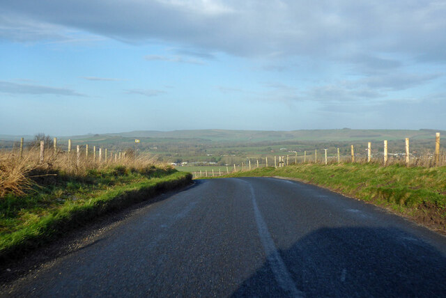
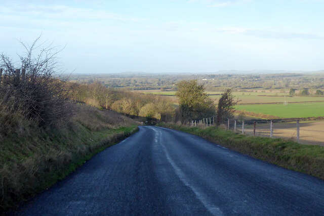
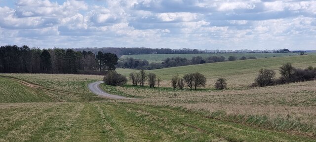
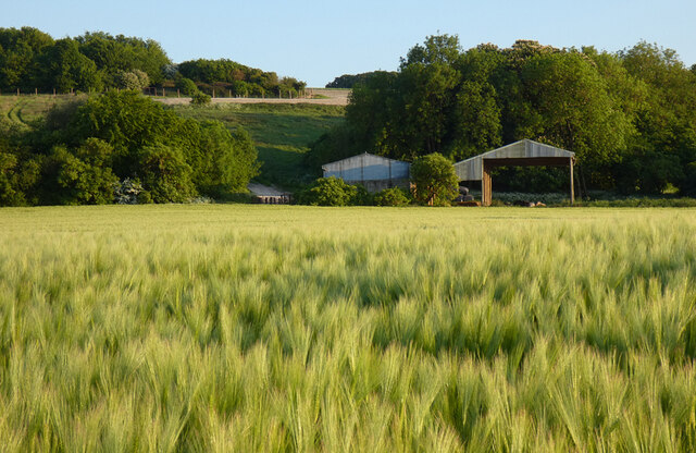
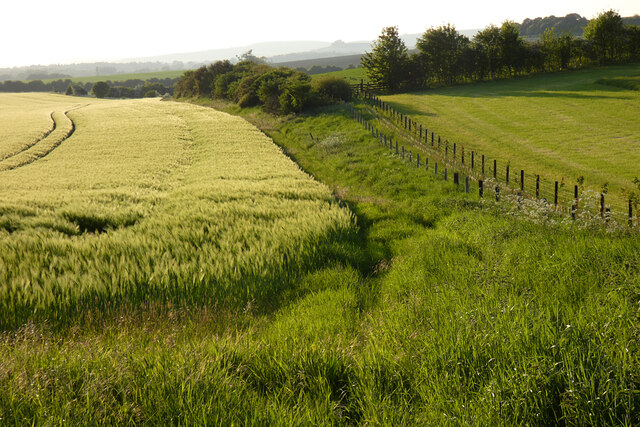
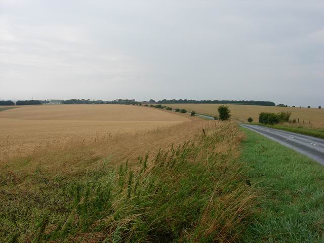
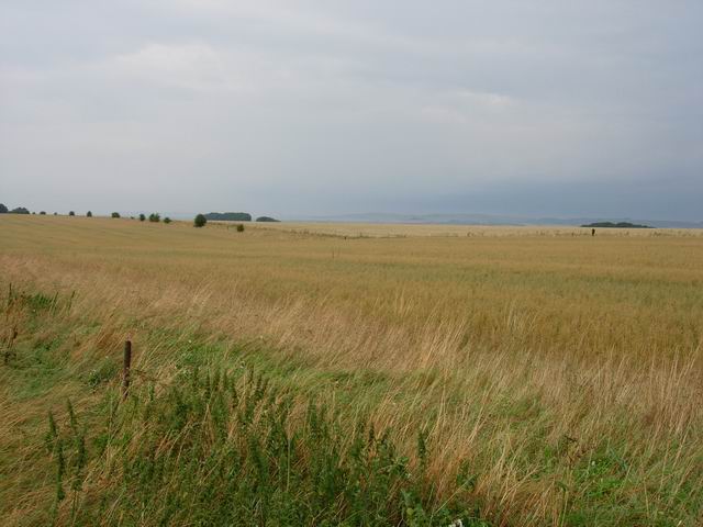
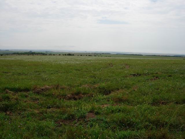
Bruce Down, Wiltshire, also known as Downs or Moorland, is a picturesque area located in the southern region of England. Situated in the county of Wiltshire, it encompasses a vast expanse of rolling hills, lush green meadows, and stunning natural beauty.

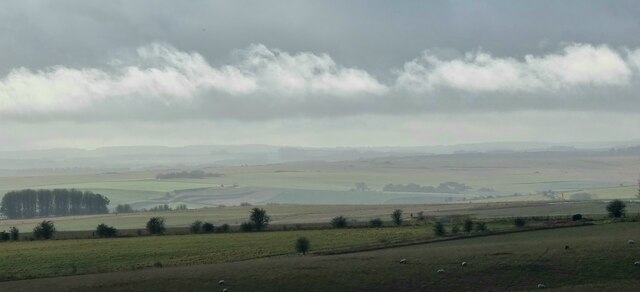
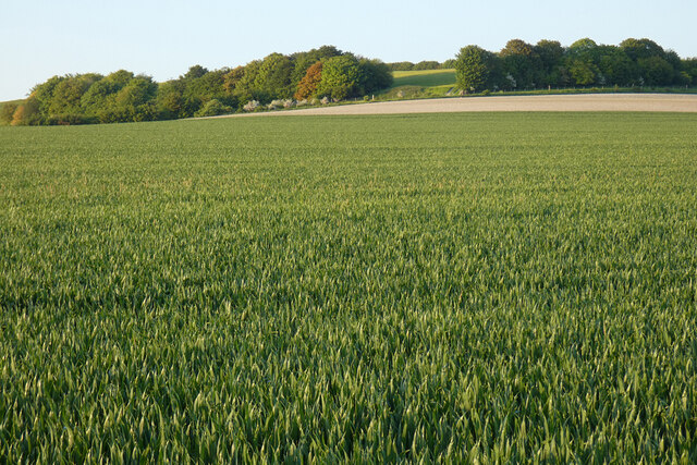
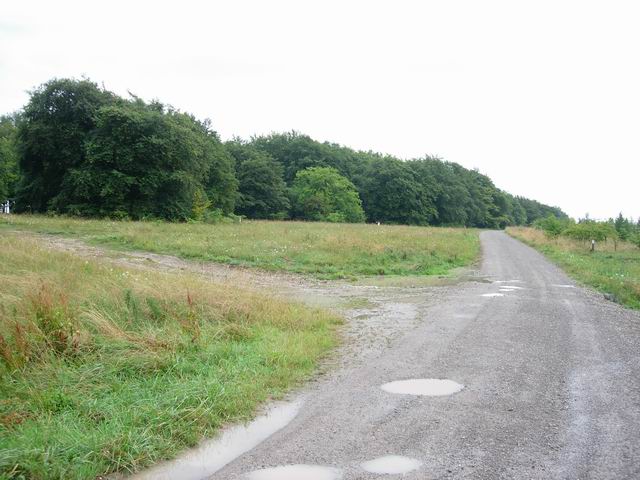
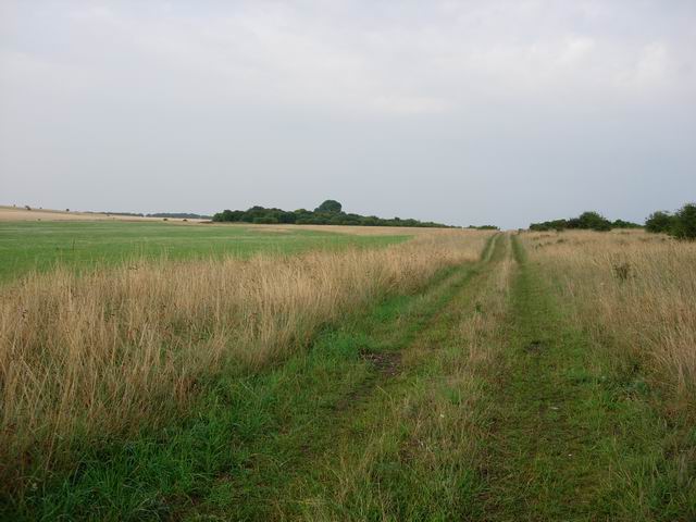
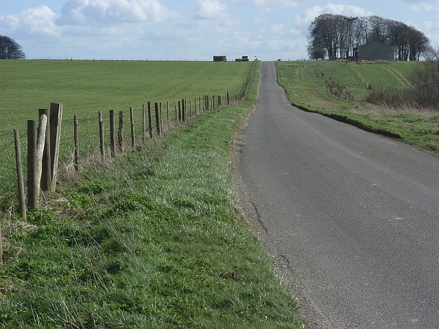
The area is characterized by its gently sloping terrain, which gives way to breathtaking views of the surrounding countryside. The landscape is dotted with small villages and farms, adding to its idyllic charm. The fertile soil of Bruce Down, Wiltshire, makes it an ideal location for agriculture, with crops such as wheat, barley, and rapeseed commonly grown in the area.

In addition to its agricultural importance, Bruce Down, Wiltshire, is also renowned for its rich biodiversity. The moorland habitat provides a home for various species of plants and wildlife, including heather, gorse, and a diverse range of bird species. Nature enthusiasts flock to the area to enjoy walking trails and birdwatching opportunities.

The area is also steeped in history, with evidence of ancient settlements and burial mounds dating back thousands of years. The nearby prehistoric monument of Stonehenge, a UNESCO World Heritage Site, further adds to the historical significance of the region.

Bruce Down, Wiltshire, offers a tranquil escape from the hustle and bustle of city life, providing visitors with a chance to immerse themselves in the beauty of the English countryside. Whether it's exploring the rolling hills, admiring the wildlife, or delving into its rich history, this charming area has something to offer for everyone.

If you have any feedback on the listing, please let us know in the comments section below.
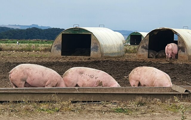
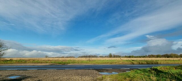
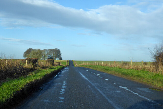
Bruce Down Images

Images are sourced within 2km of 51.302928/-1.7635407 or Grid Reference SU1656. Thanks to Geograph Open Source API. All images are credited.

West Everleigh Down, Wiltshire Breakfast time on West Everleigh Down.
West Everleigh Down, Wiltshire
Breakfast time on West Everleigh Down.
Upavon Down, Wiltshire Looking north over the A342 from Upavon Down.
Upavon Down, Wiltshire
Looking north over the A342 from Upavon Down.
Upavon Down, Wiltshire Looking south south-west over Upavon Down.
Upavon Down, Wiltshire
Looking south south-west over Upavon Down.
Road towards Pewsey
Road towards Pewsey
Road at top of descent into Vale of Pewsey
Pewsey Road descending into Vale of Pewsey
West Everleigh Downs Looking east along a gravel track in the vicinity of Grant's Firs on the Salisbury Plain Training Area.
West Everleigh Downs
Looking east along a gravel track in the vicinity of Grant's Firs on the Salisbury Plain Training Area.
Farmland, Manningford These two fields demonstrate the full width of the former parish of Manningford Abbots at this point.  The three former Manningford parishes were very narrow strip parishes rising from the Avon valley in the north-west to edge of Salisbury Plain in their south-eastern parts.
Farmland, Manningford
These two fields demonstrate the full width of the former parish of Manningford Abbots at this point. The three former Manningford parishes were very narrow strip parishes rising from the Avon valley in the north-west to edge of Salisbury Plain in their south-eastern parts.
Farmland, Manningford Seen over barley, the name of Bruce Field Barn provides an indication that this is within the former parish of Manningford Bruce.
Farmland, Manningford
Seen over barley, the name of Bruce Field Barn provides an indication that this is within the former parish of Manningford Bruce.
Farmland, Manningford With a bridleway running between barley and a fence marking the boundary of the former Manningford Bruce and Manningford Abbots parishes.
Farmland, Manningford
With a bridleway running between barley and a fence marking the boundary of the former Manningford Bruce and Manningford Abbots parishes.
Downland, Manningford On Abbots Down in the hilly upper part of the former parish of Manningford Abbots, a dry valley of pasture cuts into surrounding arable land.
Downland, Manningford
On Abbots Down in the hilly upper part of the former parish of Manningford Abbots, a dry valley of pasture cuts into surrounding arable land.
The North Face of Pewsey Hill Looking west towards Devizes, across the Vale of Pewsey.
The North Face of Pewsey Hill
Looking west towards Devizes, across the Vale of Pewsey.
Wheat fields Either side of the A342. Many large arable fields around the open grassland of Salisbury Plain, which has mostly been kept that way due to the use by the military.
Wheat fields
Either side of the A342. Many large arable fields around the open grassland of Salisbury Plain, which has mostly been kept that way due to the use by the military.
Arable field Actually inside the danger area, though that is mostly open grassland.
Arable field
Actually inside the danger area, though that is mostly open grassland.
Salisbury Plain Open flower rich chalk grassland - kept 'safe' from the spread of arable farming by its use for military training. Now the interests of archaeology, conservation, public access and military training have to balanced. This area is open access, subject to local byelaws, more info at <span class="nowrap"><a title="www.access.mod.uk" rel="nofollow ugc noopener" href="http://www.access.mod.uk">Link</a><img style="margin-left:2px;" alt="External link" title="External link - shift click to open in new window" src="https://s1.geograph.org.uk/img/external.png" width="10" height="10"/></span>
Salisbury Plain
Open flower rich chalk grassland - kept 'safe' from the spread of arable farming by its use for military training. Now the interests of archaeology, conservation, public access and military training have to balanced. This area is open access, subject to local byelaws, more info at LinkExternal link
Bridleway Bridleways encountered varied from this (a properly made gravel road) to very muddy, virtually unrideable tracks (but it had very recently rained very hard)
Bridleway
Bridleways encountered varied from this (a properly made gravel road) to very muddy, virtually unrideable tracks (but it had very recently rained very hard)
Track Not a public right of way but this area of Salisbury Plain has open access, subject to local bylaws (which include not entering plantations) due to its use as a military training area.
Track
Not a public right of way but this area of Salisbury Plain has open access, subject to local bylaws (which include not entering plantations) due to its use as a military training area.
Road, Pewsey Hill The Pewsey to Everleigh Road.
Road, Pewsey Hill
The Pewsey to Everleigh Road.
Show me another place!

Bruce Down is located at Grid Ref: SU1656 (Lat: 51.302928, Lng: -1.7635407)

Unitary Authority: Wiltshire

Police Authority: Wiltshire

What 3 Words

///expect.paintings.neat. Near Pewsey, Wiltshire

Nearby Locations

Bruce Down

Related Wikis

RAF Upavon

Royal Air Force Upavon, or more simply RAF Upavon, is a former Royal Air Force station in Wiltshire, England. It was a grass airfield, military flight...
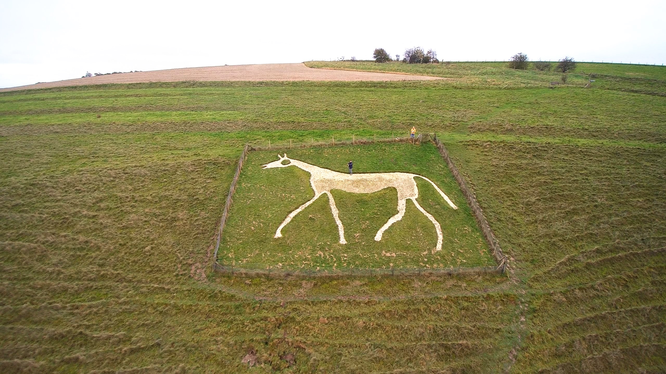
Pewsey White Horse

Pewsey White Horse is a hill figure of a white horse near the village of Pewsey, Wiltshire, England. Cut of chalk in 1937, it replaces an earlier horse...

Chisenbury Camp

Chisenbury Camp is the site of an Iron Age univallate hillfort in Broad Chalke parish in Wiltshire, England. The site comprises a small circular 5-acre...

Upavon Priory

Upavon Priory was a small priory in Wiltshire, England. Domesday Book in 1086 recorded land at Upavon held by the Benedictine monastery of Saint-Wandrille...

Upavon

Upavon is a rural village and civil parish in the county of Wiltshire, England. As its name suggests, it is on the upper portion of the River Avon which...

Manningford

Manningford is a civil parish in Wiltshire, England. The parish includes the villages of Manningford Abbots, Manningford Bohune and Manningford Bruce,...

North Newnton

North Newnton is a civil parish in Wiltshire, England, 2.5 miles (4.0 km) southwest of Pewsey. The parish is in the Vale of Pewsey which carries the upper...

James Anderson Slater

Flight Lieutenant James Anderson Slater (27 November 1896 – 26 November 1925) was a British First World War flying ace, credited with 24 aerial victories...

Have you been to Bruce Down?

Leave your review of Bruce Down below (or comments, questions and feedback).