St Giles's Park
Downs, Moorland in Dorset
England
St Giles's Park
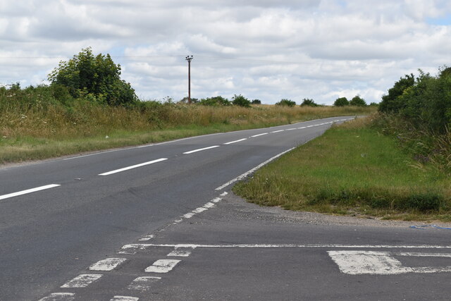
St Giles's Park, located in the county of Dorset, is a picturesque and captivating natural haven encompassing downs and moorland landscapes. Spanning across a vast area, the park offers visitors a diverse array of scenic beauty and opportunities for outdoor activities.
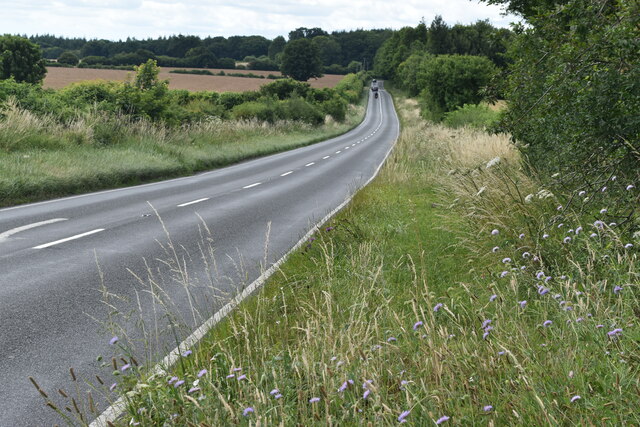
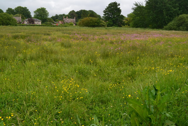
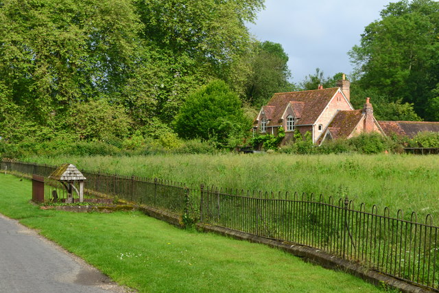
One of the prominent features of St Giles's Park is its expansive downs, which are characterized by rolling hills covered in lush green grass. These downs provide visitors with panoramic views of the surrounding countryside, making it an ideal spot for leisurely walks and picnics. The park also boasts several well-maintained footpaths and trails, allowing hikers and nature enthusiasts to explore the area at their own pace.
In addition to the downs, St Giles's Park is home to enchanting moorlands. These moorlands, with their wild and untamed beauty, offer visitors a unique and immersive experience. The moorlands are adorned with heathland vegetation, including heather and gorse, which bloom in vibrant colors during the summer months. The park's moorlands are also home to a variety of wildlife, including rare bird species such as the Dartford warbler.
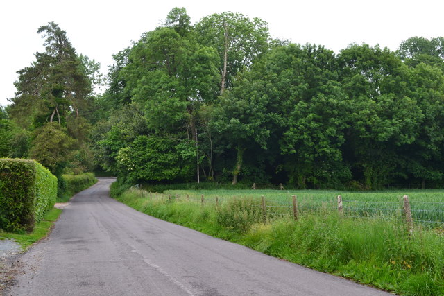
St Giles's Park offers ample opportunities for outdoor activities such as birdwatching, photography, and nature walks. The park is known for its tranquil and serene atmosphere, providing visitors with a sense of peace and tranquility away from the hustle and bustle of city life.
Overall, St Giles's Park in Dorset is a must-visit destination for those seeking to immerse themselves in the natural beauty of downs and moorlands. Whether it's a leisurely stroll across the downs or an exploration of the captivating moorlands, visitors are guaranteed an unforgettable experience in this idyllic setting.
If you have any feedback on the listing, please let us know in the comments section below.
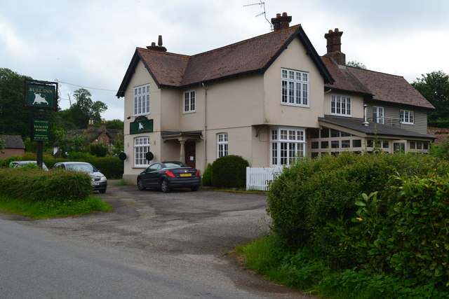
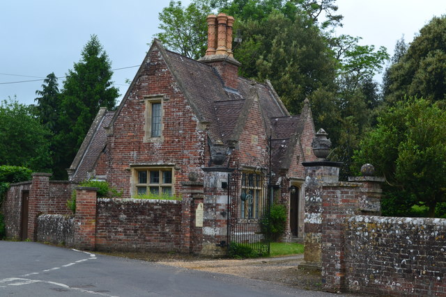
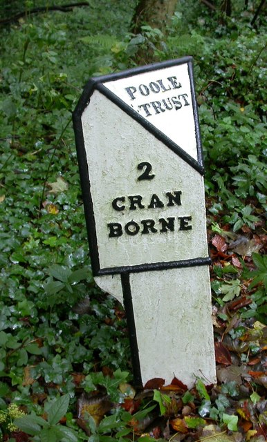
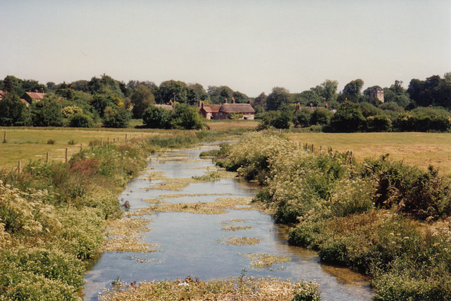
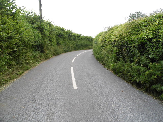
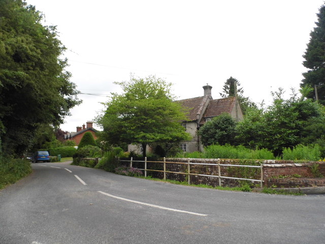
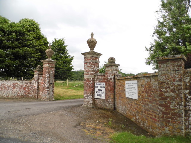
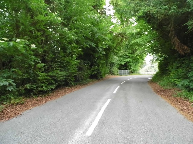
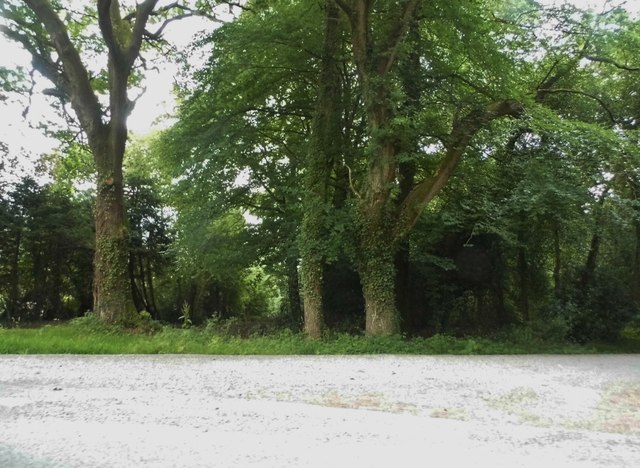
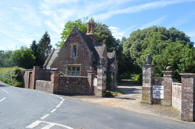
St Giles's Park Images
Images are sourced within 2km of 50.903679/-1.9410296 or Grid Reference SU0411. Thanks to Geograph Open Source API. All images are credited.

St Giles's Park is located at Grid Ref: SU0411 (Lat: 50.903679, Lng: -1.9410296)
Unitary Authority: Dorset
Police Authority: Dorset
What 3 Words
///witty.tadpole.shock. Near Verwood, Dorset
Nearby Locations
Related Wikis

St Giles House, Wimborne St Giles
St Giles House is located at Wimborne St Giles in East Dorset in England, just south of Cranborne Chase. It is the ancestral seat of the Ashley-Cooper...

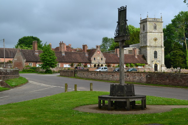
Wimborne St Giles
Wimborne St Giles is a village and civil parish in east Dorset, England, on Cranborne Chase, 7 miles (11 km) north of Wimborne Minster and 12 miles (19...
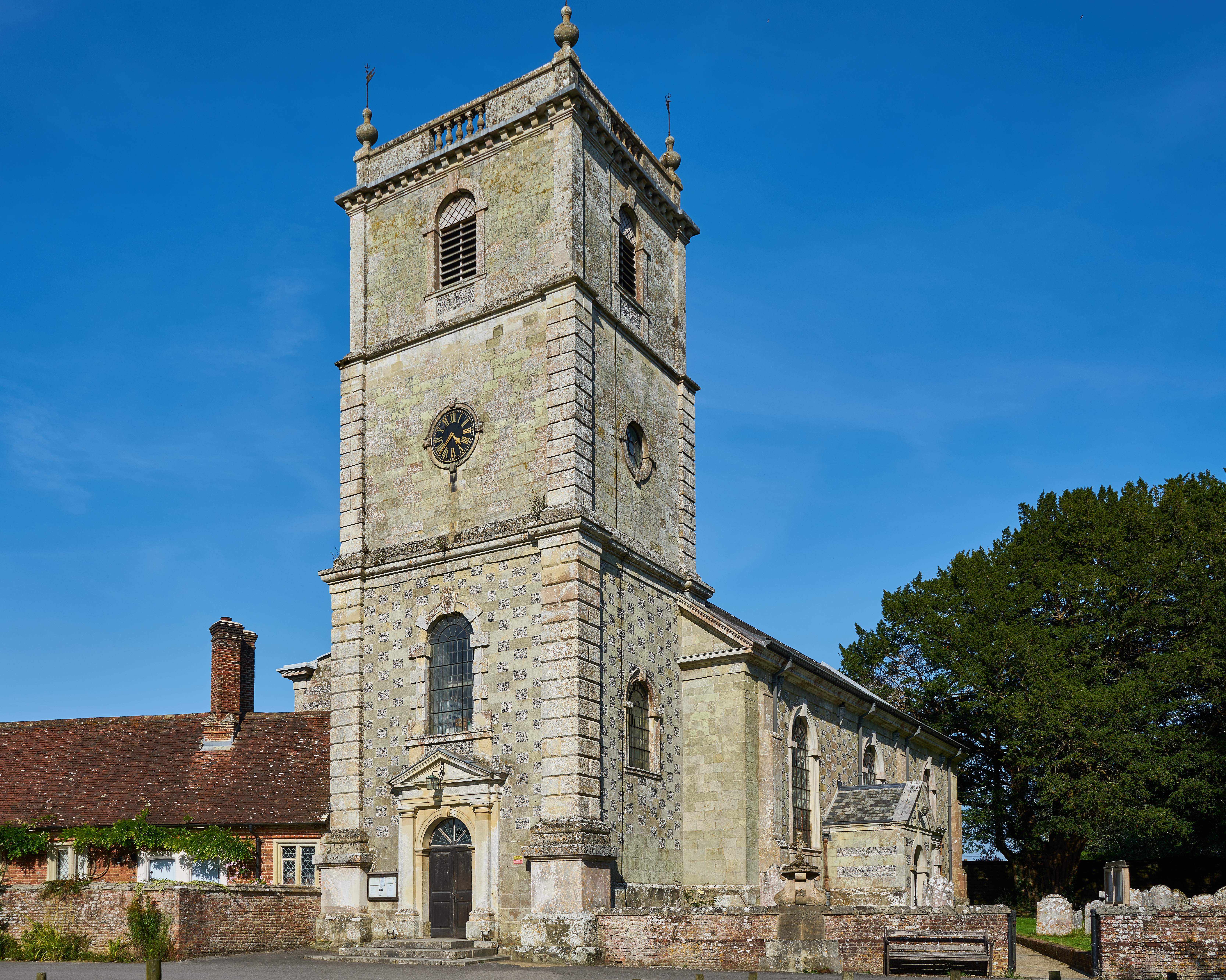
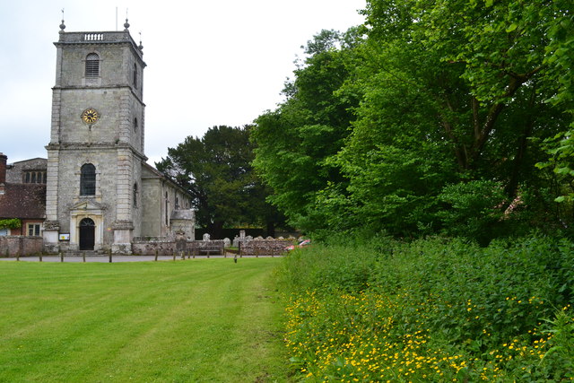
Church of St Giles, Wimborne St Giles
The Church of St Giles is the Church of England parish church for the village of Wimborne St Giles, Dorset. Originally founded in the 13th century and...

Wimborne St Giles Hundred
Wimborne St Giles Hundred was a hundred in the county of Dorset, England, containing the following parishes: Wimborne All Saints (absorbed by Wimborne...
Nearby Amenities
Located within 500m of 50.903679,-1.9410296Have you been to St Giles's Park?
Leave your review of St Giles's Park below (or comments, questions and feedback).