Merryhill Common

Downs, Moorland in Herefordshire

England

Merryhill Common

Longley Green - view east from Suckley post office
Longley Green - view east from Suckley post office Credit: Peter Whatley

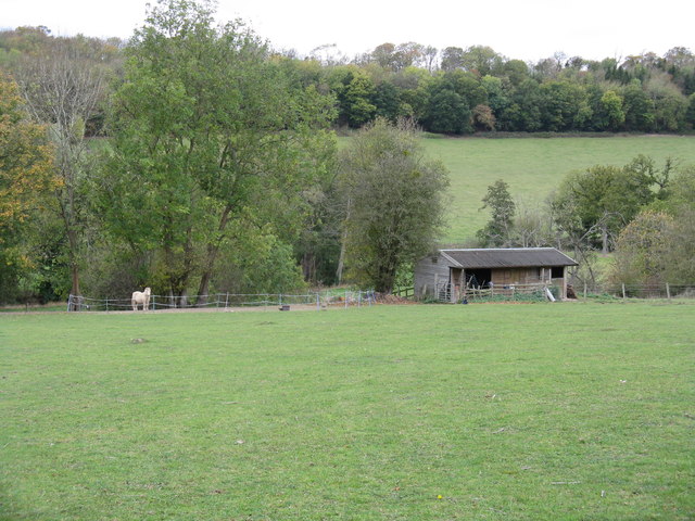
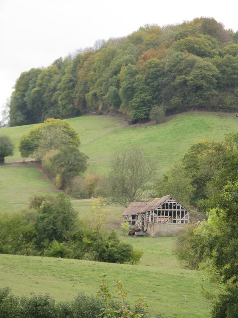
Merryhill Common is a picturesque area located in Herefordshire, England. Covering a vast expanse of downs and moorland, this natural landscape offers breathtaking views and is a haven for outdoor enthusiasts.

The common is characterized by its rolling hills and open grasslands, providing a serene and tranquil environment for visitors. The lush greenery and wildflowers that dot the landscape create a colorful and vibrant scene, especially during the spring and summer months. The area is also home to a diverse array of wildlife, including rabbits, foxes, and various bird species, making it a popular spot for nature lovers and birdwatchers.

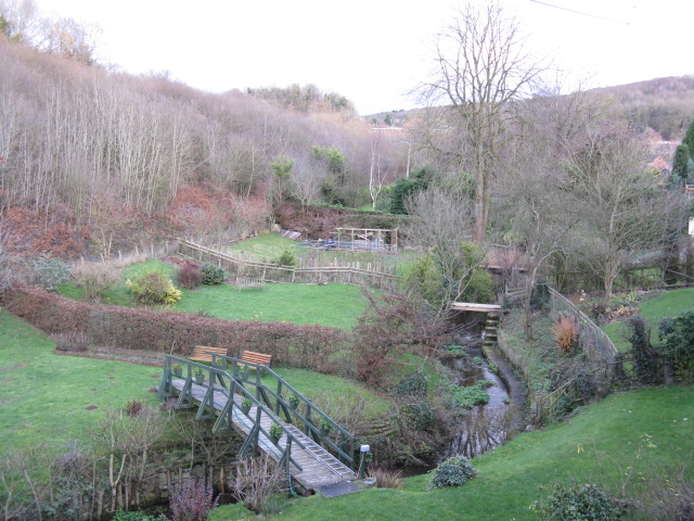
Merryhill Common is crisscrossed by a network of footpaths and trails, making it ideal for hikers, walkers, and cyclists. These well-maintained paths allow visitors to explore the area and take in the stunning views at their own pace. Additionally, the common is a great spot for picnicking, with numerous designated areas offering a peaceful setting to enjoy a meal surrounded by nature.

The common is easily accessible, with ample parking available nearby. It is a popular destination for both locals and tourists alike, who come to experience the beauty and serenity of this natural treasure. Whether it's a leisurely stroll, an adventurous hike, or simply a desire to connect with nature, Merryhill Common offers something for everyone.

If you have any feedback on the listing, please let us know in the comments section below.

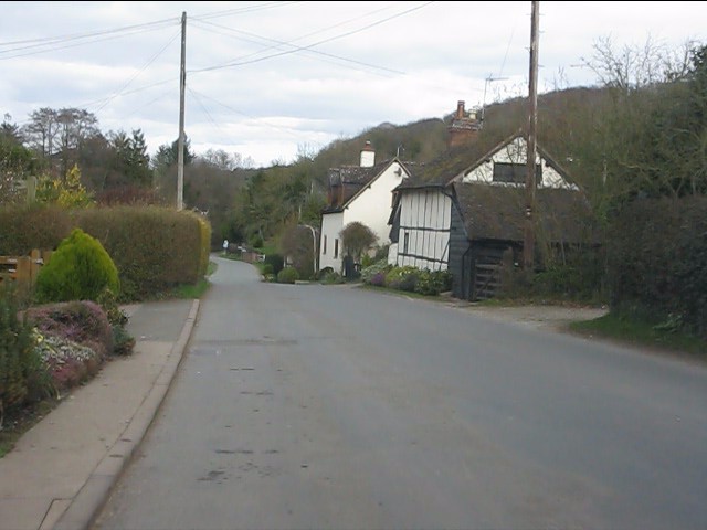
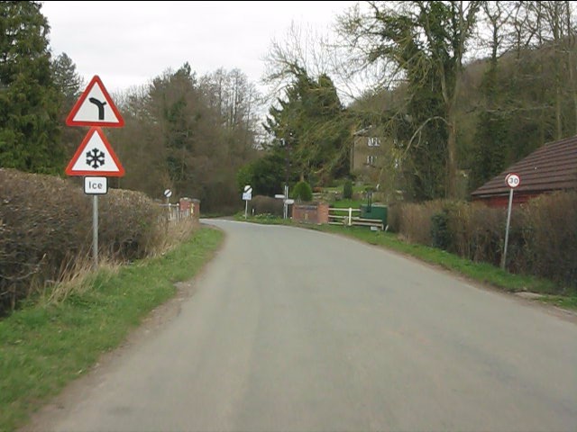
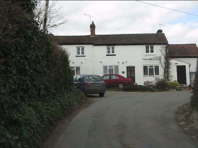
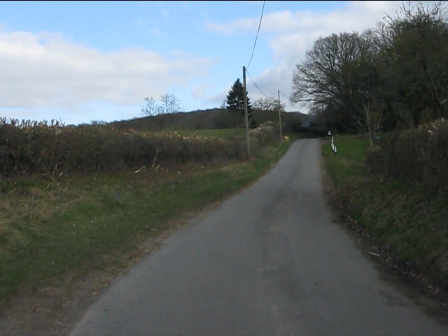
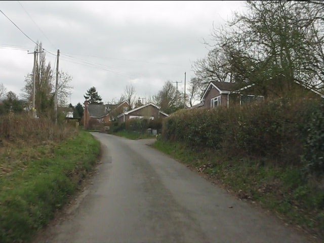
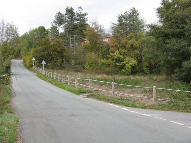
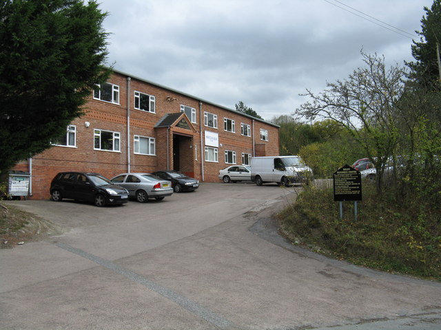
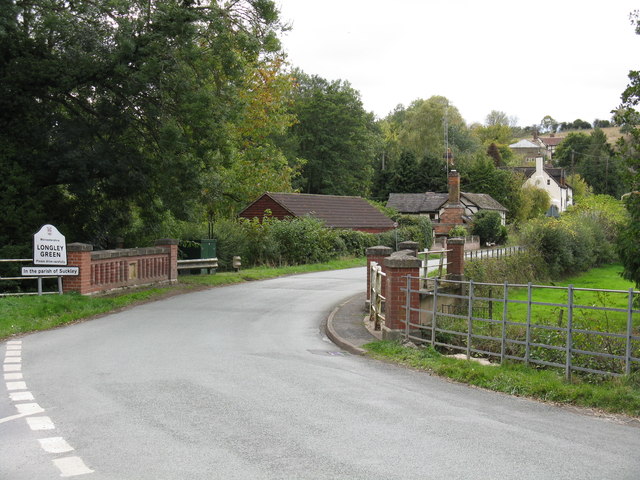
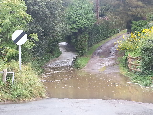
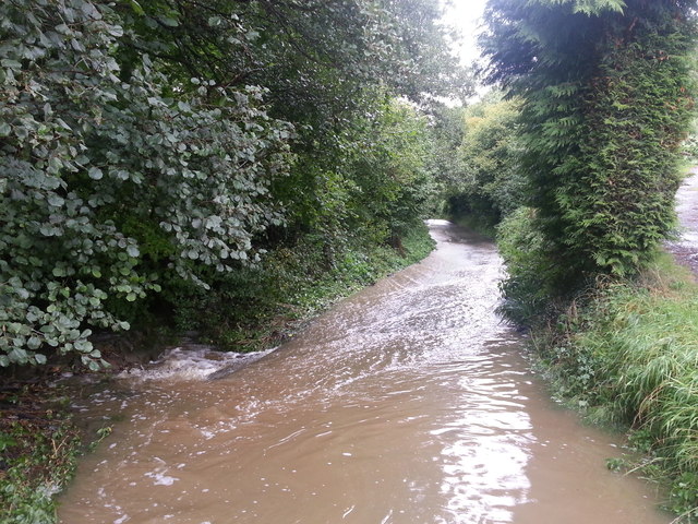
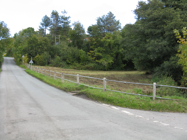
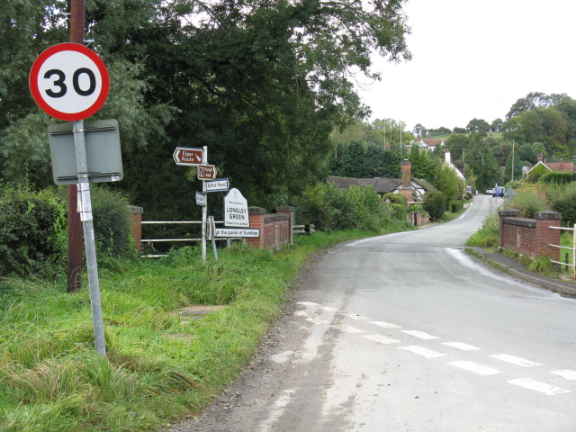
Merryhill Common Images

Images are sourced within 2km of 52.140712/-2.3694477 or Grid Reference SO7449. Thanks to Geograph Open Source API. All images are credited.

Longley Green - view east from Suckley post office
Longley Green - Batchelor's Bridge The building in the distance is Mosewick Farm, across the county boundary in Herefordshire.
Longley Green - Batchelor's Bridge
The building in the distance is Mosewick Farm, across the county boundary in Herefordshire.
Byways - a former pub Once a small pub frequented by farmworkers, the building has for many years been a private dwelling.
Byways - a former pub
Once a small pub frequented by farmworkers, the building has for many years been a private dwelling.
Birchwood Lane near Byways
Modern bungalows on Birchwood Lane
Repaired railings on Suckley Road The railings protecting the Bruff Business Centre's lower parking area were replaced in the week beginning October 10th, 2011, following damage caused by two errant cars. Part of the Business Centre is visible through the trees.
Repaired railings on Suckley Road
The railings protecting the Bruff Business Centre's lower parking area were replaced in the week beginning October 10th, 2011, following damage caused by two errant cars. Part of the Business Centre is visible through the trees.
Bruff Business Centre, Suckley The business centre is rather larger than might appear from its frontage.  It occupies the site of the former Bruff agricultural engineering factory.  Bruff were well-known makers of hop picking equipment, several examples of which are still in use in the local area.
Bruff Business Centre, Suckley
The business centre is rather larger than might appear from its frontage. It occupies the site of the former Bruff agricultural engineering factory. Bruff were well-known makers of hop picking equipment, several examples of which are still in use in the local area.
Sheep grazing by Batchelor's Bridge
Batchelor's Bridge, Longley Green The southern part of the parish of Suckley is known as Longley Green.  This occasionally leads to confusion, hence the additional signage under the main board.
Batchelor's Bridge, Longley Green
The southern part of the parish of Suckley is known as Longley Green. This occasionally leads to confusion, hence the additional signage under the main board.
Paddock by Suckley Road
Remains of Harp Farm The structures now belong to Mosewick Farm.
Remains of Harp Farm
The structures now belong to Mosewick Farm.
Valley of the Leigh Brook - Christmas Day 2011 About 12 degrees Celsius at noon.
Valley of the Leigh Brook - Christmas Day 2011
About 12 degrees Celsius at noon.
Longley Green on a misty morning The scene from the post office, looking east.
Longley Green on a misty morning
The scene from the post office, looking east.
Birchwood Lane after a storm After 24 hours of incessant rain, water flows unchecked down the lane across the entire surface. The culvert alongside was taking the water away now the rain had stopped, but nearly a foot of water remained at the Longley Green end of the lane.
Birchwood Lane after a storm
After 24 hours of incessant rain, water flows unchecked down the lane across the entire surface. The culvert alongside was taking the water away now the rain had stopped, but nearly a foot of water remained at the Longley Green end of the lane.
Birchwood Lane in full flow About 50 yards from the Longley Green end of the lane and the lane is effectively a small stream after 24 hours of rainfall. In the left foreground some water escapes into the adjoining culvert
Birchwood Lane in full flow
About 50 yards from the Longley Green end of the lane and the lane is effectively a small stream after 24 hours of rainfall. In the left foreground some water escapes into the adjoining culvert
Waste ground by the Bruff Low lying ground subject to occasional flooding below the Bruff Business Centre, Suckley.
Waste ground by the Bruff
Low lying ground subject to occasional flooding below the Bruff Business Centre, Suckley.
The sloping signs of Suckley Heavy rainfall during 2012 has caused the base of the speed limit sign to move slightly as the ground has been washed out beneath it.  The sign by the bridge is damaged every winter by at least one vehicle finding the steep slope down to it icier than expected.  The bridge in the foreground (Batchelor's Bridge) dates from 1925, replacing an earlier structure destroyed by heavy floods.  It survived the floods of 2007 by a hair's breadth.
The sloping signs of Suckley
Heavy rainfall during 2012 has caused the base of the speed limit sign to move slightly as the ground has been washed out beneath it. The sign by the bridge is damaged every winter by at least one vehicle finding the steep slope down to it icier than expected. The bridge in the foreground (Batchelor's Bridge) dates from 1925, replacing an earlier structure destroyed by heavy floods. It survived the floods of 2007 by a hair's breadth.
Mobile library day in Longley Green The mobile library calls at three locations in Suckley Parish every third Friday.  The number of regular users is 12: 2.2% of the parish's residents.
Mobile library day in Longley Green
The mobile library calls at three locations in Suckley Parish every third Friday. The number of regular users is 12: 2.2% of the parish's residents.
Show me another place!

Merryhill Common is located at Grid Ref: SO7449 (Lat: 52.140712, Lng: -2.3694477)

Unitary Authority: County of Herefordshire

Police Authority: West Mercia

What 3 Words

///auctioned.restores.calculate. Near Great Malvern, Worcestershire

Related Wikis

Crowcroft

Crowcroft is a small hamlet just outside Leigh Sinton in Worcestershire, England. The main industry for the area is fruit growing, particularly for local...

Cradley, Herefordshire

Cradley () is a village in the civil parish of Cradley and Storridge, in Herefordshire, England. The nearest Herefordshire to Cradley towns are Ledbury...

Radar Research and Development Establishment

The Radar Research and Development Establishment, RRDE for short, was a civilian research organization run by the United Kingdom's Ministry of Supply that...

Church of St Peter, Cowleigh

The Church of St Peter, Cowleigh, is a Grade II listed Anglican church in the parish of Malvern Link and Cowleigh. It was built in 1865, and was designed...

Nearby Amenities

Located within 500m of 52.140712,-2.3694477
Power: pole
Lat/Long: 52.1392785/-2.3757505
Byefields
Power: pole
Transformer: distribution
Voltage Primary: 11000
Lat/Long: 52.1400567/-2.3765063
Power: pole
Lat/Long: 52.1396258/-2.376232
Power: pole
Lat/Long: 52.1389871/-2.3753482
Power: pole
Lat/Long: 52.1386636/-2.3749077
Power: pole
Lat/Long: 52.1382574/-2.3743477
Power: pole
Lat/Long: 52.137845/-2.3739991
Power: pole
Lat/Long: 52.13724/-2.3734841
The data included in this document is from www.openstreetmap.org. The data is made available under ODbL.

Have you been to Merryhill Common?

Leave your review of Merryhill Common below (or comments, questions and feedback).