Baugh Fell

Downs, Moorland in Yorkshire South Lakeland

England

Baugh Fell

Looking west towards Holmes Moss Hill from southern flank of Swarth Fell Pike
Looking west towards Holmes Moss Hill from southern flank of Swarth Fell Pike Credit: Luke Shaw

Baugh Fell is a prominent and picturesque summit located in the northwestern part of the Yorkshire Dales, in the county of Yorkshire, England. Standing at an elevation of 678 meters (2,224 feet), it forms part of the Yorkshire Dales National Park and is renowned for its stunning natural beauty.

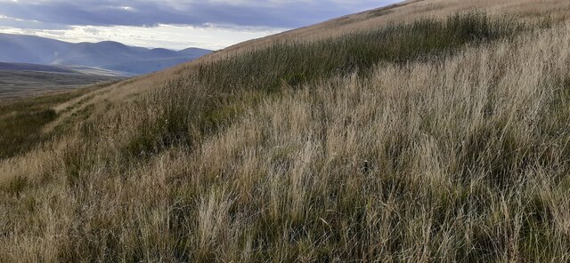
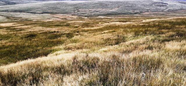
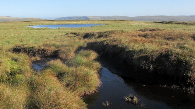
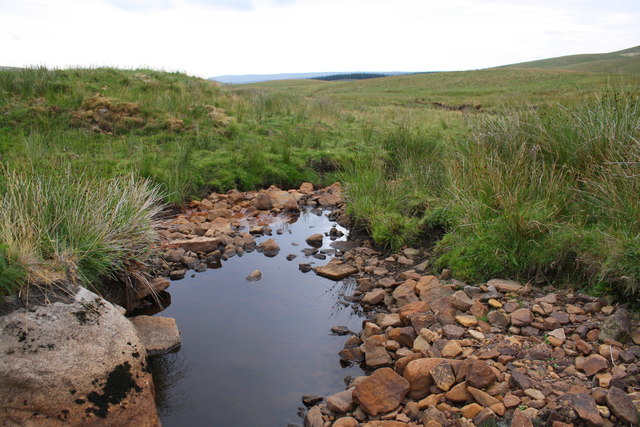
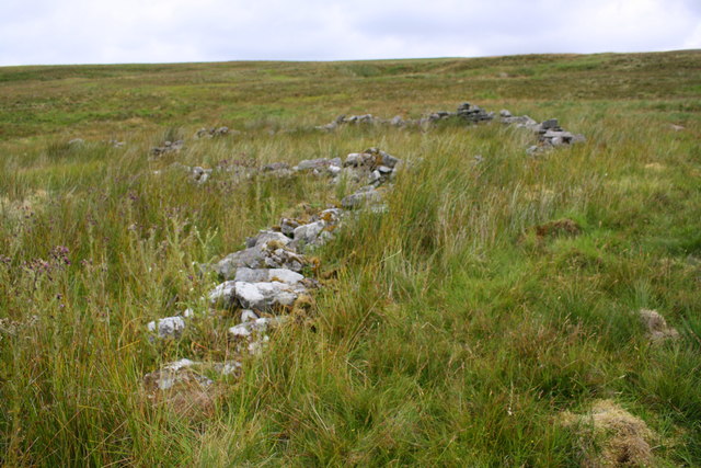
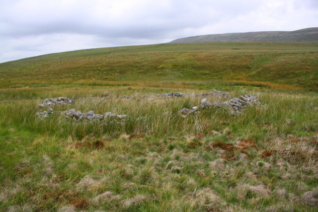
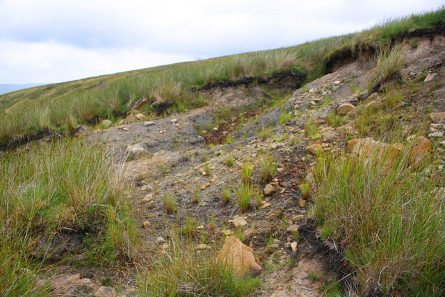
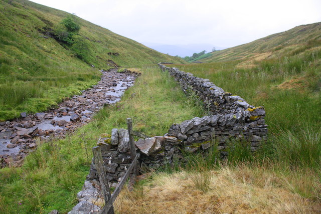
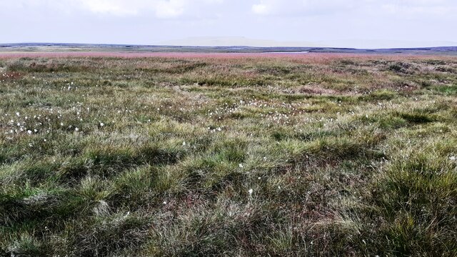
The fell is characterized by its rolling hills, expansive moorlands, and captivating views of the surrounding landscape. It boasts a diverse range of habitats, including heathland, grassland, and peat bogs, which support a rich array of flora and fauna. Visitors to Baugh Fell can expect to encounter an abundance of wildflowers, such as heather and bilberry, as well as various species of birds, including the elusive golden plover.

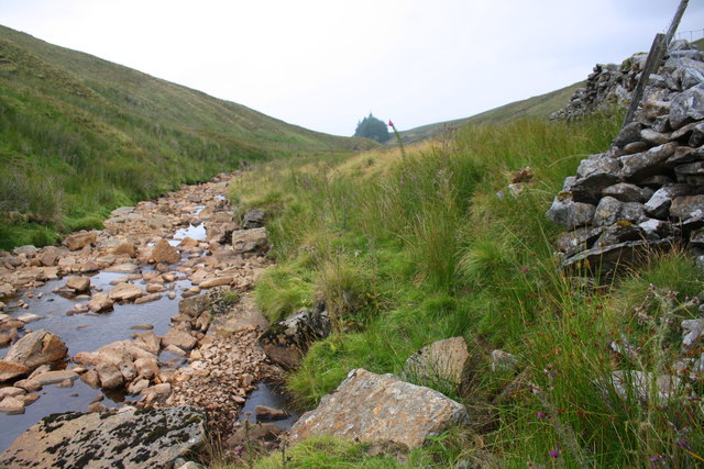
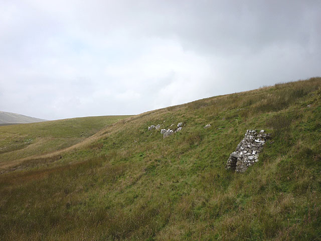
The area is a popular destination for hikers and outdoor enthusiasts, offering a range of walking routes to suit all abilities. The climb to the summit of Baugh Fell provides breathtaking vistas across the Yorkshire Dales, with sights stretching as far as the Lake District on clear days. The fell is also intersected by several well-marked footpaths, including the Pennine Way and the Dales Way, which attract long-distance walkers from all over the world.

Despite its remote location, Baugh Fell is easily accessible by road, with nearby villages providing ample parking facilities. The fell's tranquil and unspoiled environment makes it an idyllic spot for those seeking a peaceful retreat in the heart of nature. Whether it's a leisurely stroll or a challenging hike, Baugh Fell offers an unforgettable experience for those who appreciate the beauty and tranquility of Yorkshire's countryside.

If you have any feedback on the listing, please let us know in the comments section below.
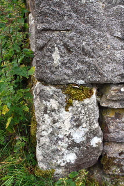
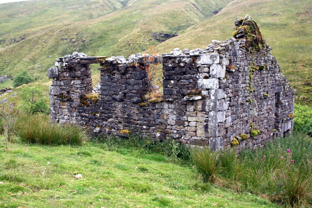
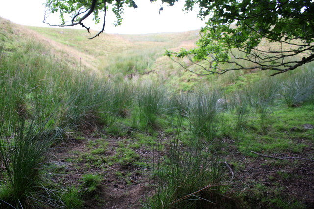
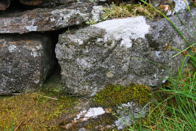
Baugh Fell Images

Images are sourced within 2km of 54.340049/-2.3955768 or Grid Reference SD7493. Thanks to Geograph Open Source API. All images are credited.

Looking west towards Holmes Moss Hill from southern flank of Swarth Fell Pike
Moorland view from Nettle Brow
One of the East Tarns A walk around Baugh Fell.
One of the East Tarns
A walk around Baugh Fell.
Grisdale Beck
Grisdale Beck
Grisdale Beck below Black Hill
Ruined sheepfold and wall above Grisdale Gill
Square dry stone enclosure below Holmes Moss Hill
Erosion on moorland at Rawthey Gill Foot
River Rawthey at Holmes Moss
Benchmark on old barn above River Rawthey, Holmes Moss Ordnance Survey cut mark benchmark shown as levelled at 1218.1 feet above Liverpool Datum on the 1888-1913 6" Map and described on the Bench Mark Database at <span class="nowrap"><a title="https://www.bench-marks.org.uk/bm98019" rel="nofollow ugc noopener" href="https://www.bench-marks.org.uk/bm98019">Link</a><img style="margin-left:2px;" alt="External link" title="External link - shift click to open in new window" src="https://s1.geograph.org.uk/img/external.png" width="10" height="10"/></span>
Benchmark on old barn above River Rawthey, Holmes Moss
Ordnance Survey cut mark benchmark shown as levelled at 1218.1 feet above Liverpool Datum on the 1888-1913 6" Map and described on the Bench Mark Database at LinkExternal link
Ruined barn above River Rawthey, Uldale There is an OS benchmark <a href="https://www.geograph.org.uk/photo/6008631">SD7495 : Benchmark on old barn above River Rawthey, Holmes Moss</a> on the near corner, right hand face, of the building
Ruined barn above River Rawthey, Uldale
There is an OS benchmark SD7495 : Benchmark on old barn above River Rawthey, Holmes Moss on the near corner, right hand face, of the building
Stream channel on Holmes Moss
Bend in dry stone wall beside River Rawthey, Holmes Moss
Benchmark on stone in wall above River Rawthey Ordnance Survey pivot benchmark shown as levelled at 1155.2 feet above Liverpool Datum on 1888-1913 6" Map, and described on the Bench Mark Database at <span class="nowrap"><a title="https://www.bench-marks.org.uk/bm98020" rel="nofollow ugc noopener" href="https://www.bench-marks.org.uk/bm98020">Link</a><img style="margin-left:2px;" alt="External link" title="External link - shift click to open in new window" src="https://s1.geograph.org.uk/img/external.png" width="10" height="10"/></span>
Benchmark on stone in wall above River Rawthey
Ordnance Survey pivot benchmark shown as levelled at 1155.2 feet above Liverpool Datum on 1888-1913 6" Map, and described on the Bench Mark Database at LinkExternal link
View towards East Tarns from Tarn Rigg Hill Rushy moorland with cotton grass
View towards East Tarns from Tarn Rigg Hill
Rushy moorland with cotton grass
Tarn of the East Tarns group on Baugh Fell The frozen tarn is unnamed individually. It lies to the north of Tarn Rigg Hill which is the higher of the two tops of Baugh Fell. This tarn is the most westerly of the group.
The Howgill Fells can just be seen above the far shore and much more distantly, Lake District mountains can be discerned too.
Tarn of the East Tarns group on Baugh Fell
The frozen tarn is unnamed individually. It lies to the north of Tarn Rigg Hill which is the higher of the two tops of Baugh Fell. This tarn is the most westerly of the group. The Howgill Fells can just be seen above the far shore and much more distantly, Lake District mountains can be discerned too.
Swere Gill Swere Gill drains water from the north side of East Baugh Fell; Wild Boar Fell and Swarth Fell are seen in the distance.
Swere Gill
Swere Gill drains water from the north side of East Baugh Fell; Wild Boar Fell and Swarth Fell are seen in the distance.
Disused lime kiln at the head of Grisedale Built to exploit a thin band of limestone in this remote moorland setting.
Disused lime kiln at the head of Grisedale
Built to exploit a thin band of limestone in this remote moorland setting.
Show me another place!

Baugh Fell is located at Grid Ref: SD7493 (Lat: 54.340049, Lng: -2.3955768)

Division: West Riding

Administrative County: Cumbria

District: South Lakeland

Police Authority: Cumbria

What 3 Words

///outs.bedroom.removal. Near Sedbergh, Cumbria

Nearby Locations

Baugh Fell

Related Wikis

Baugh Fell

Baugh Fell (, or locally ) is a large, flat-topped hill in the northern Pennines of England. It lies in the north-western corner of the Yorkshire Dales...

Swarth Fell

Swarth Fell is an approximately 1 mile (1.5 km) stretch of high ground (consisting mainly of limestone capped with millstone grit) situated to the south...

Grisedale

Grisedale (sometimes Grisdale, or Grizedale [archaic]) is a south east facing Dale in Cumbria, England, 8 miles (13 km) east of Sedbergh, and 7 miles...

Garsdale

Garsdale is a dale or valley in the south east of Cumbria, England, historically a part of the West Riding of Yorkshire. It is now within the Westmorland...

Related Videos

4K Cumbria Countryside: Beautiful Nature with Relaxing Music | Scenic Exploration

4K Cumbria Countryside: Beautiful Nature with Relaxing Music from Scenic Exploration. Escape to the calming nature scenery of ...

Swarth Fell

Finally the mad wind we have had recently has calmed down so off on to the tops I went today. A very nice wander on to Swarth ...

Have you been to Baugh Fell?

Leave your review of Baugh Fell below (or comments, questions and feedback).