Turbary Pasture

Downs, Moorland in Yorkshire Craven

England

Turbary Pasture

Boundary wall on  Blakeamaya Foggy morning.
Boundary wall on Blakeamaya Credit: steven ruffles

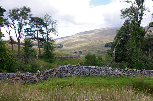
Turbary Pasture, located in Yorkshire, England, is a captivating landscape that encompasses both Downs and Moorland areas. Spanning over a vast expanse, it offers visitors a diverse and picturesque terrain to explore.

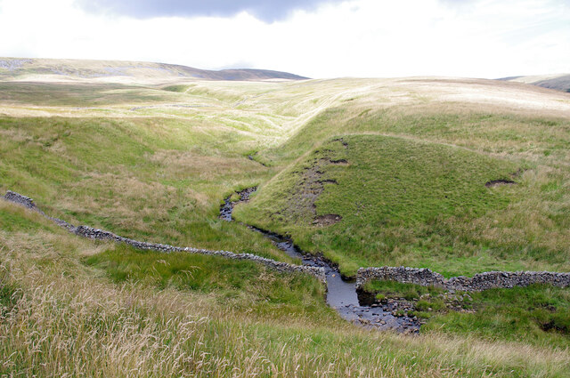
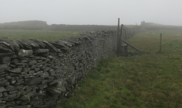
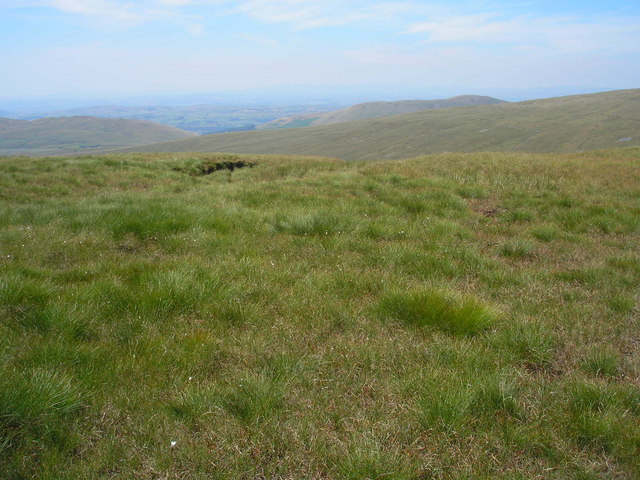
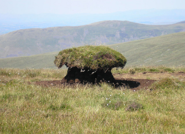
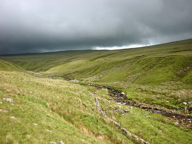
The Downs of Turbary Pasture are characterized by their gently rolling hills and expansive grasslands. These open spaces are often dotted with grazing livestock, creating a serene rural atmosphere. The Downs are renowned for their rich biodiversity, with a wide variety of plant and animal species thriving in this habitat. Visitors can expect to encounter vibrant wildflowers, such as harebells and buttercups, as well as numerous bird species, including skylarks and meadow pipits.

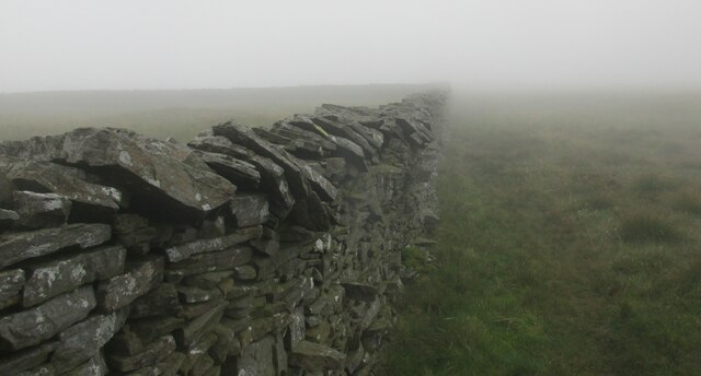
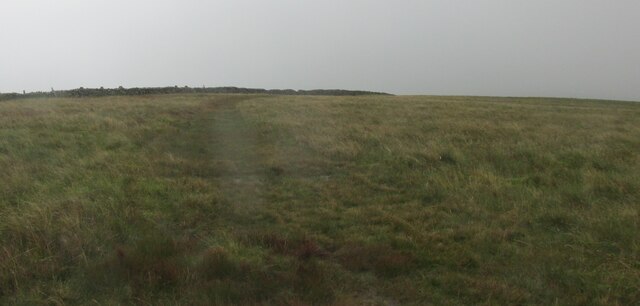
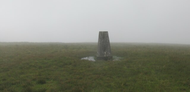
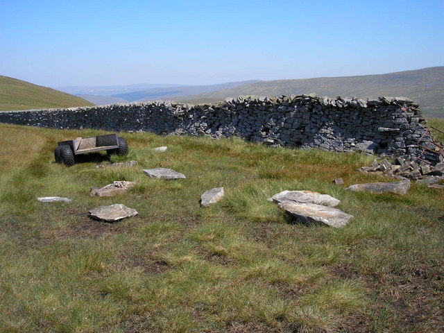
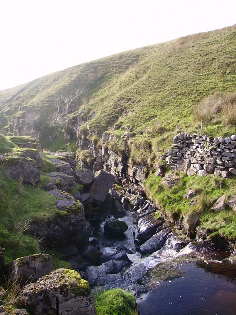
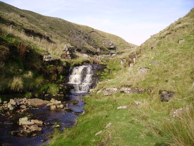
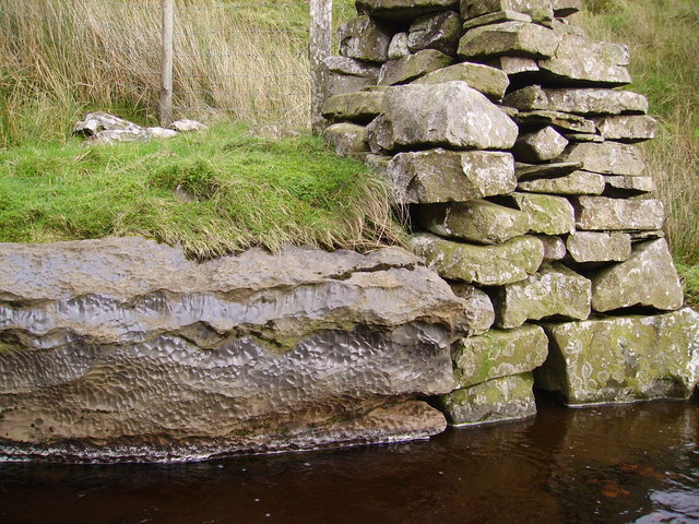
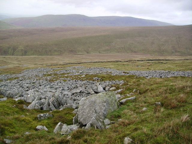
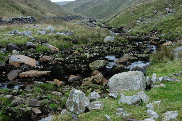
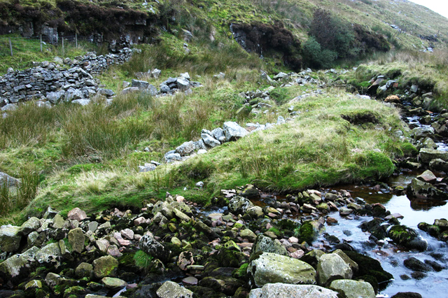
In contrast, the Moorland region of Turbary Pasture boasts a more rugged and wild landscape. Here, visitors can immerse themselves in the untamed beauty of heather-covered hillsides, interspersed with rocky outcrops and peat bogs. This unique habitat is home to several iconic bird species, including the elusive red grouse and peregrine falcon. The Moorland also provides shelter for a range of mammals, such as red deer and mountain hares.

Turbary Pasture offers numerous walking trails and paths, allowing visitors to explore its natural wonders at their own pace. Whether strolling through the rolling Downs or venturing into the wild Moorland, this remarkable Yorkshire landscape offers an unforgettable experience for nature enthusiasts and hikers alike.

If you have any feedback on the listing, please let us know in the comments section below.

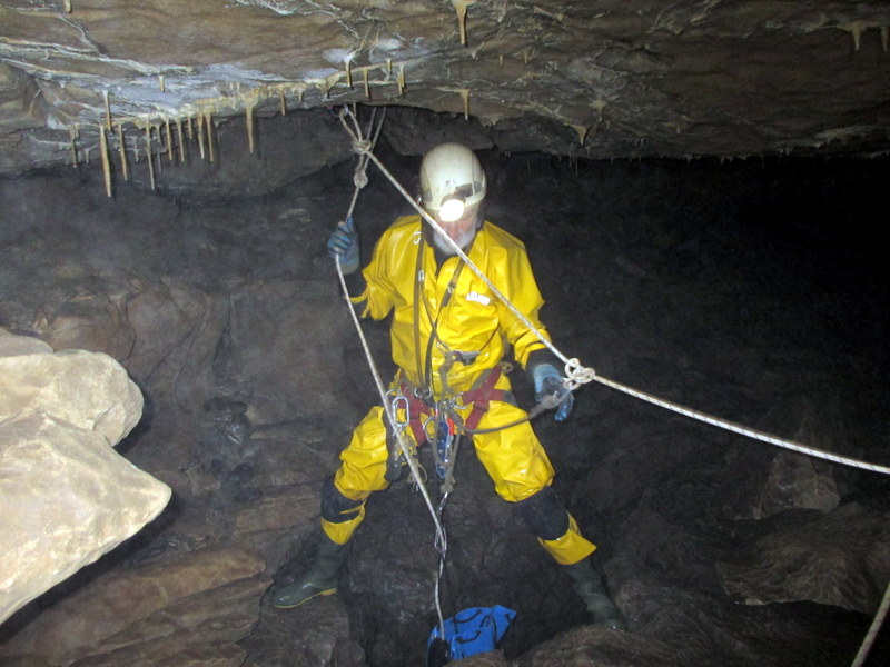
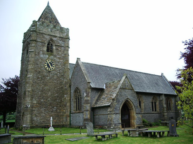
Turbary Pasture Images

Images are sourced within 2km of 54.213926/-2.4670378 or Grid Reference SD6979. Thanks to Geograph Open Source API. All images are credited.

Boundary wall on  Blakeamaya Foggy morning.
Boundary wall on Blakeamaya
Foggy morning.
Path on Green Hill The highest spot in Lancashire.
Path on Green Hill
The highest spot in Lancashire.
Yordas Grains, Kingsdale Yordas Gill winds down the fellside before dropping down into Yordas Cave (out of picture, ~100m to right).
Yordas Grains, Kingsdale
Yordas Gill winds down the fellside before dropping down into Yordas Cave (out of picture, ~100m to right).
Yordas Wood, Kingsdale Looking towards Kingsdale Head. Whernside is in the background.
Yordas Wood, Kingsdale
Looking towards Kingsdale Head. Whernside is in the background.
Footbridge, Kingsdale Beck The beck is dry - not unusual in this limestone area. The wall running up the slope from the bridge has been rebuilt by national park volunteers. (Compare with <a href="https://www.geograph.org.uk/photo/66169">SD7078 : Kingsdale Beck</a>.)
Footbridge, Kingsdale Beck
The beck is dry - not unusual in this limestone area. The wall running up the slope from the bridge has been rebuilt by national park volunteers. (Compare with SD7078 : Kingsdale Beck.)
Trig point on the summit of Gragareth. Silence.
Trig point on the summit of Gragareth.
Silence.
Boundary wall on Gragareth. Yorkshire to the left, Lancashire to the right.
Boundary wall on Gragareth.
Yorkshire to the left, Lancashire to the right.
On the Gragareth ridge Looking west towards Lunesdale in the heat haze.
On the Gragareth ridge
Looking west towards Lunesdale in the heat haze.
Work in progress The truck has been used to carry stone and equipment up the fell to repair the collapsed part of the wall at the right. No work was actually in progress on this extremely hot day.
Work in progress
The truck has been used to carry stone and equipment up the fell to repair the collapsed part of the wall at the right. No work was actually in progress on this extremely hot day.
Giant toadstool? No, it's a peat hag. The surrounding peat has eroded down a few feet and grass has grown on top. This remaining islet of peat will slowly erode until it disappears.

Middleton Fell can be seen in the distance.
Giant toadstool?
No, it's a peat hag. The surrounding peat has eroded down a few feet and grass has grown on top. This remaining islet of peat will slowly erode until it disappears. Middleton Fell can be seen in the distance.
Ease Gill The Gill is an interesting place to explore.The Ash trees on the rock outcrop may soon find themselves transplanted as everything slips downward along the steep edges of the Gill.
Ease Gill
The Gill is an interesting place to explore.The Ash trees on the rock outcrop may soon find themselves transplanted as everything slips downward along the steep edges of the Gill.
Ease Gill Following the Gill is interesting though a little rough in places.
Ease Gill
Following the Gill is interesting though a little rough in places.
Waterfall ,Ease Gill There are a series of fine waterfalls in the upper reaches of the gill but none are noted on the O. S. Map.
Waterfall ,Ease Gill
There are a series of fine waterfalls in the upper reaches of the gill but none are noted on the O. S. Map.
Rock, Ease Gill Unusuall pock marked rock next to the bit of wall on the gill.
Rock, Ease Gill
Unusuall pock marked rock next to the bit of wall on the gill.
North Flank of Gragareth Ease Gill in the dip just out of the square.
North Flank of Gragareth
Ease Gill in the dip just out of the square.
Ease Gill Following the gill is slow but interesting walking
Ease Gill
Following the gill is slow but interesting walking
Ease Gill All this area is now open access and as time was running out before dark we escaped from the gill at the top mid point of this picture and followed the fence back to Bullpot farm
Ease Gill
All this area is now open access and as time was running out before dark we escaped from the gill at the top mid point of this picture and followed the fence back to Bullpot farm
Upper Ease Gill Heading into the vast moorland basin between Gragareth and Great Coum which forms the headwaters of Ease Gill. The beck is the county boundary between Cumbria and Lancashire whose highest point (Green Hill) is on the skyline above. That's where I am going.
Upper Ease Gill
Heading into the vast moorland basin between Gragareth and Great Coum which forms the headwaters of Ease Gill. The beck is the county boundary between Cumbria and Lancashire whose highest point (Green Hill) is on the skyline above. That's where I am going.
Show me another place!

Turbary Pasture is located at Grid Ref: SD6979 (Lat: 54.213926, Lng: -2.4670378)

Division: West Riding

Administrative County: North Yorkshire

District: Craven

Police Authority: North Yorkshire

What 3 Words

///acute.rational.continued. Near Ingleton, North Yorkshire

Nearby Locations

Turbary Pasture

Related Wikis

Gragareth

Gragareth is a mountain straddling the border between Lancashire and North Yorkshire in England. At 627 metres (2,057 ft), its summit is the second highest...

Yordas Cave

Yordas Cave is a solutional cave in Kingsdale, North Yorkshire, England. It has been renowned since the eighteenth century as a natural curiosity, and...

Jingling Pot

Jingling Pot is a limestone cave in West Kingsdale, North Yorkshire, England. Located adjacent to Jingling Beck, it is a lenticular-shaped 45-metre (148...

Aquamole Pot

Aquamole Pot is a limestone cave in West Kingsdale, North Yorkshire, England. It was originally discovered by cave divers who negotiated 168 metres (551...

Rowten Pot

Rowten Pot is one of several entrances into the 27-kilometre (17 mi) long cave system that drains Kingsdale in North Yorkshire, England. Its entrance...

Simpson Pot

Named after Eli Simpson, Simpson Pot is a limestone cave in West Kingsdale, North Yorkshire, England. It leads into Swinsto Cave and thence into Kingsdale...

Green Hill (Lancashire)

Green Hill is a mountain or fell in north west England. Its summit is 628 metres (2,060 ft) above sea level. It is located above Cowan Bridge, Lancashire...

Thornton in Lonsdale

Thornton in Lonsdale is a village and civil parish in the Craven District and ceremonial county of North Yorkshire in England. It is very close to the...

Have you been to Turbary Pasture?

Leave your review of Turbary Pasture below (or comments, questions and feedback).