Low Fell
Downs, Moorland in Yorkshire Ribble Valley
England
Low Fell
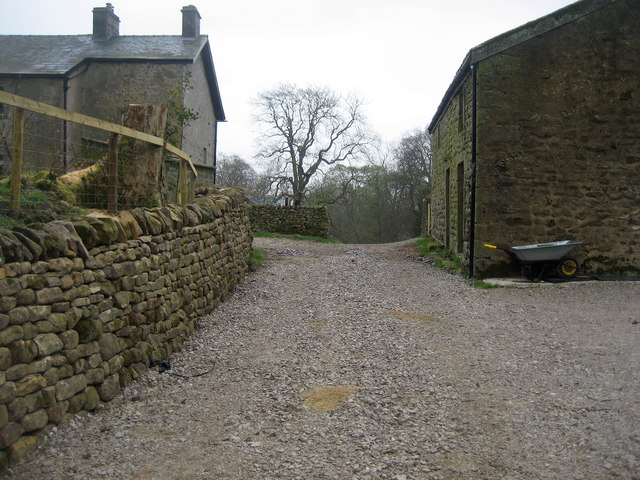
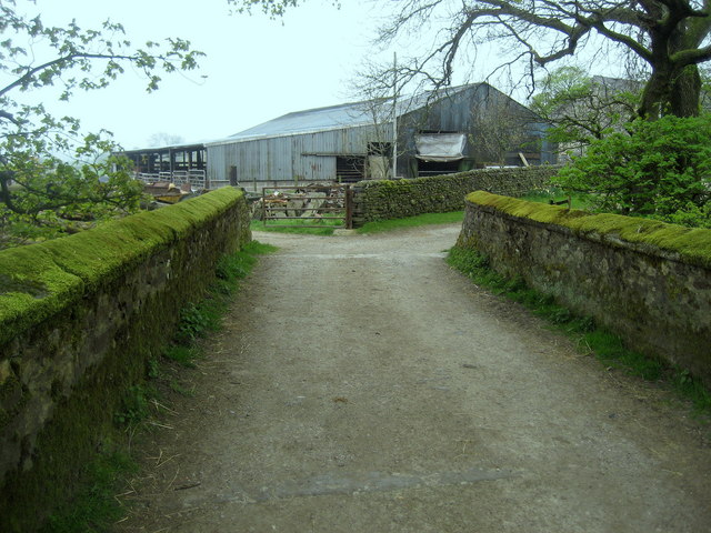
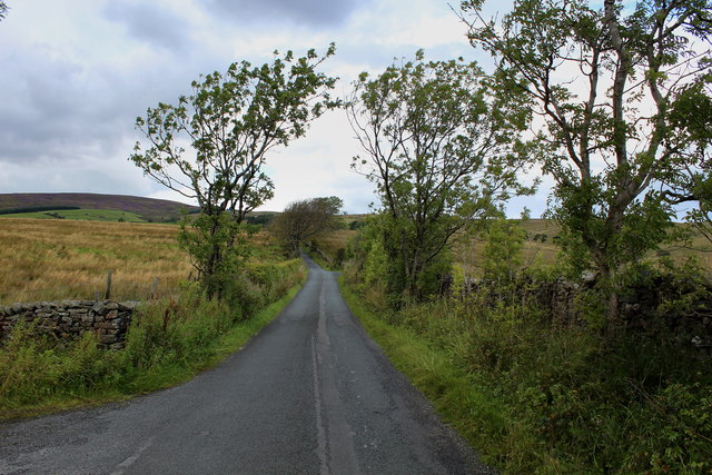
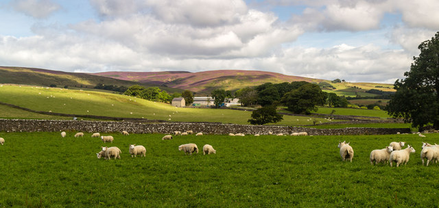
Low Fell is a picturesque village nestled in the heart of Yorkshire, renowned for its stunning natural landscapes and rich cultural heritage. Situated on the southern edge of the Yorkshire Downs, the village offers breathtaking views of rolling hills, lush green meadows, and charming country lanes.
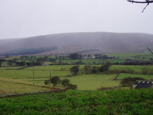
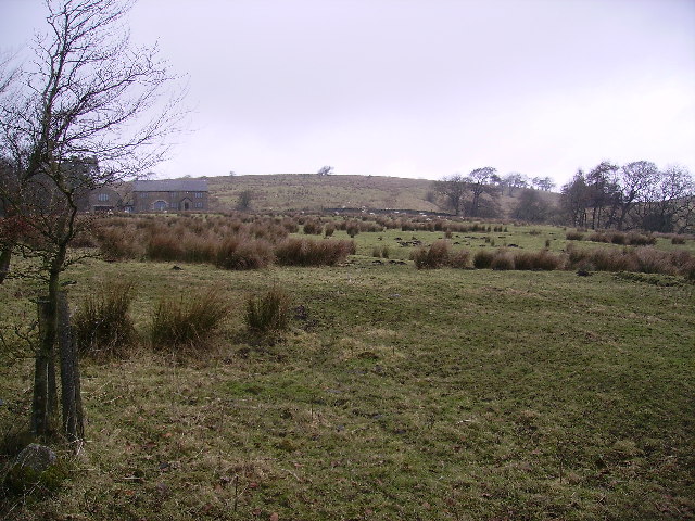
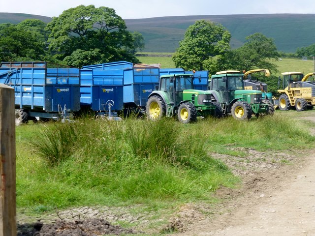
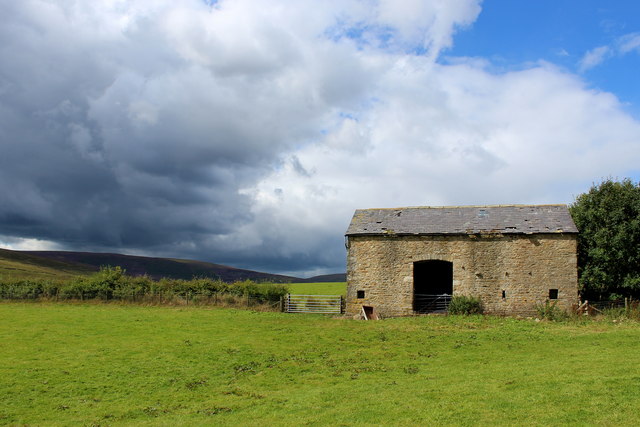
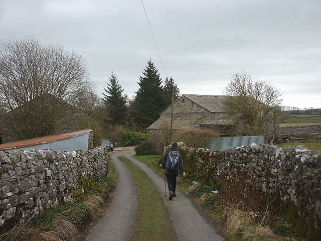
The landscape of Low Fell is characterized by its unique combination of downs and moorland. The downs, with their gently sloping hills and fertile soil, provide a perfect habitat for a variety of flora and fauna. Wildflowers such as bluebells, primroses, and buttercups dot the landscape, creating a vibrant and colorful environment. The moorland, on the other hand, is characterized by its rugged terrain, heather-covered hills, and expansive vistas.
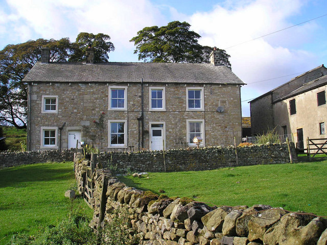
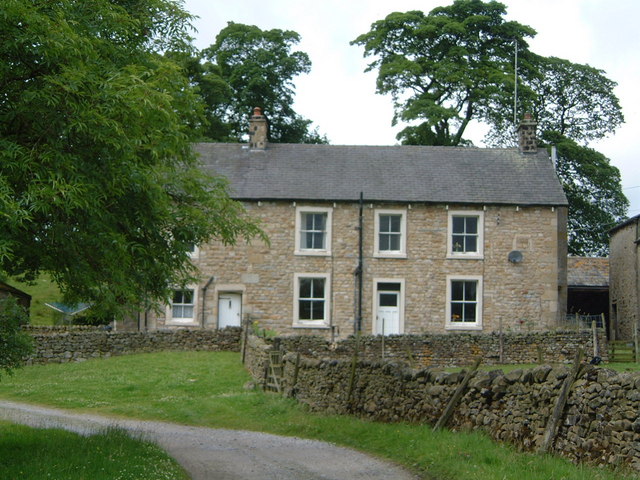
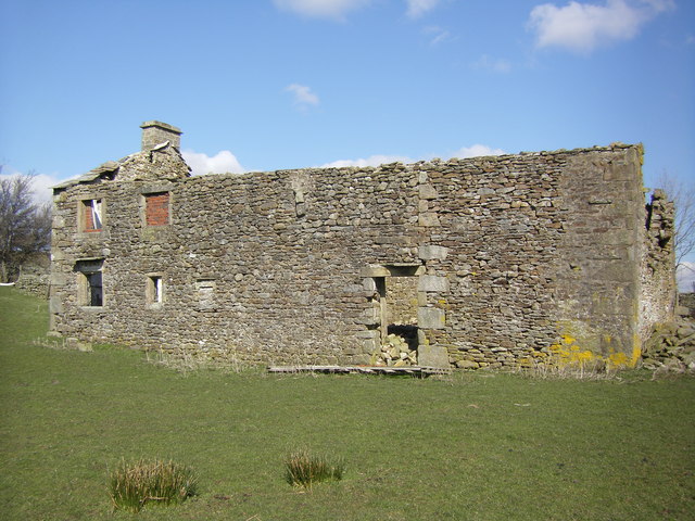
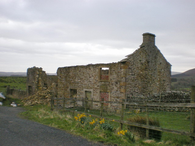
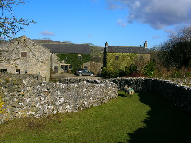
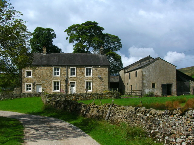
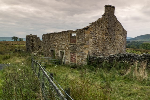
The village itself is steeped in history, with several medieval buildings and structures still standing today. The charming stone cottages and well-preserved village square evoke a sense of nostalgia, transporting visitors back in time. The local church, St. Mary's, is a notable landmark, known for its exquisite stained glass windows and intricate stone carvings.
Outdoor enthusiasts are spoiled for choice in Low Fell, with numerous walking trails, cycling routes, and bridleways crisscrossing the surrounding countryside. The village is a popular destination for hikers and nature lovers, offering endless opportunities to explore the great outdoors. Wildlife enthusiasts can spot an array of animals, including deer, hares, and various bird species.
Overall, Low Fell is a hidden gem in Yorkshire, offering a peaceful retreat from the hustle and bustle of city life. Its stunning natural beauty, historical charm, and ample recreational opportunities make it a must-visit destination for both locals and tourists alike.
If you have any feedback on the listing, please let us know in the comments section below.
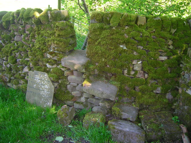
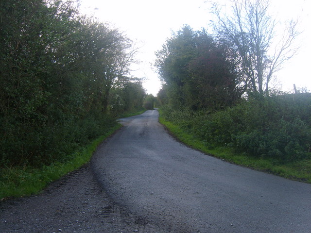
Low Fell Images
Images are sourced within 2km of 53.991964/-2.4727549 or Grid Reference SD6955. Thanks to Geograph Open Source API. All images are credited.
Low Fell is located at Grid Ref: SD6955 (Lat: 53.991964, Lng: -2.4727549)
Division: West Riding
Administrative County: Lancashire
District: Ribble Valley
Police Authority: Lancashire
What 3 Words
///biked.blip.storage. Near Waddington, Lancashire
Nearby Locations
Related Wikis

Geography of the United Kingdom
The United Kingdom is a sovereign state located off the north-western coast of continental Europe. With a total area of approximately 248,532 square kilometres...

King's House, Slaidburn
King's House is a Grade II listed building in Slaidburn, Lancashire, England, now used as a youth hostel. It was originally built in the 18th century,...

Lancashire Witches Walk
The Lancashire Witches Walk is a 51-mile (82 km) long-distance footpath opened in 2012, between Barrowford and Lancaster, all in Lancashire, England. It...

St Andrew's Church, Slaidburn
St Andrew's Church is in Church Street, Slaidburn, Lancashire, England. It is an active Anglican parish church in the deanery of Bowland, the archdeaconry...
Related Videos

FOREST OF BOWLAND Road Trip | The Villages of Little England
Taking a road trip through the Forest of Bowland AONB in Northern England & stopping by the villages of Little England, namely ...

Do THIS to become a better landscape photographer...
ORDER MY 2024 CALENDAR! (Not Many Left!) https://geni.us/2024calendar Join the club for FREE! INSTANTLY get my ...

BEACON FELL Country Park Walk
Beacon Fell Country Park Walk. In this video I take a short walk in the Beacon Fell Country Park located in the South West part of ...
Nearby Amenities
Located within 500m of 53.991964,-2.4727549Have you been to Low Fell?
Leave your review of Low Fell below (or comments, questions and feedback).