Red Moss

Downs, Moorland in Lancashire

England

Red Moss

The University of Bolton Stadium The University of Bolton Stadium is the home of Bolton Wanderers.
The University of Bolton Stadium Credit: Steve Daniels

The requested URL returned error: 429 Too Many Requests

If you have any feedback on the listing, please let us know in the comments section below.
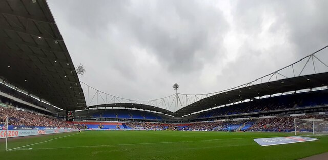
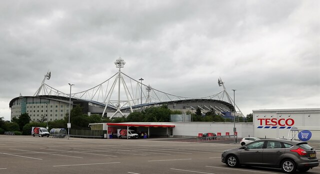
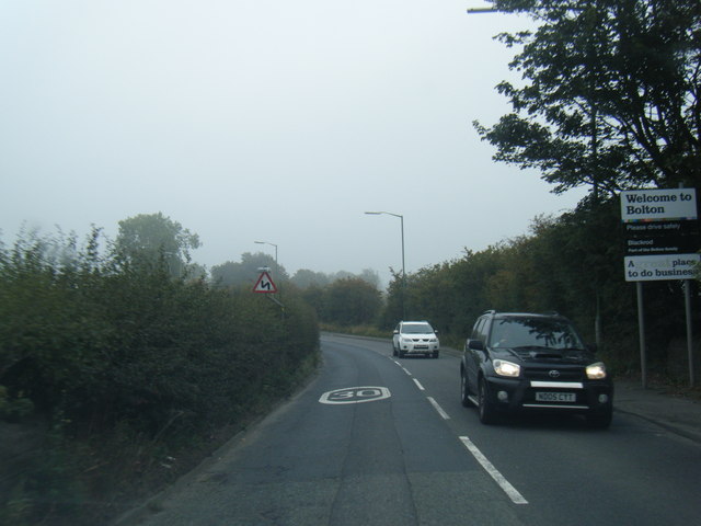
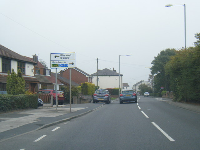
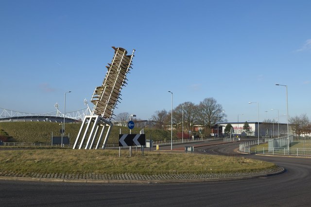
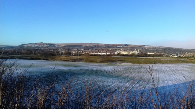
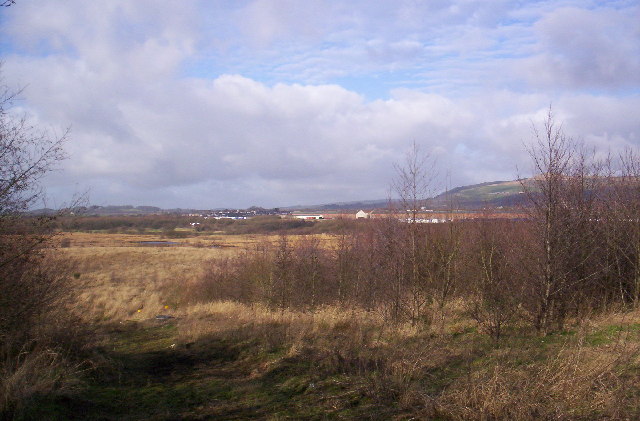
Red Moss Images

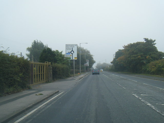
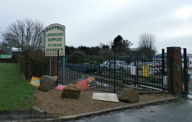
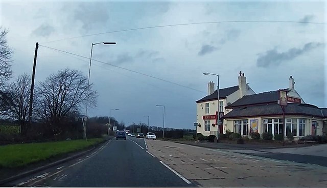
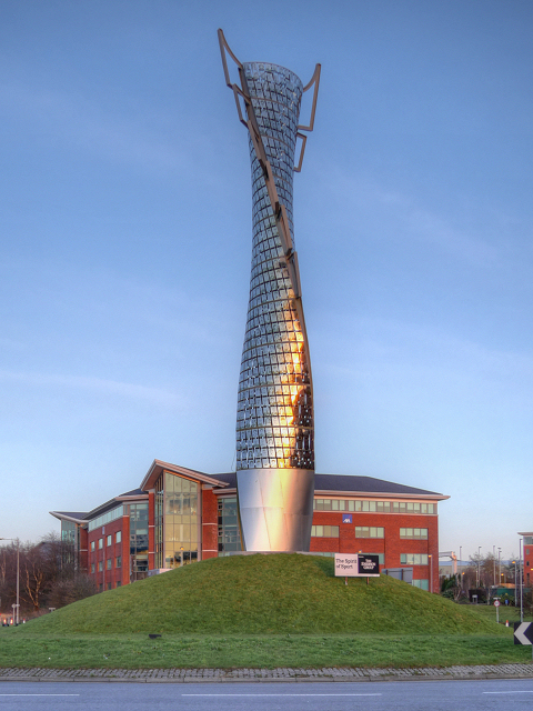
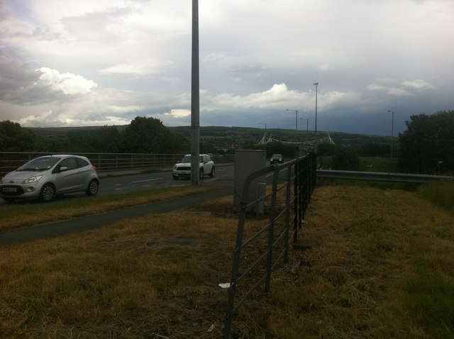
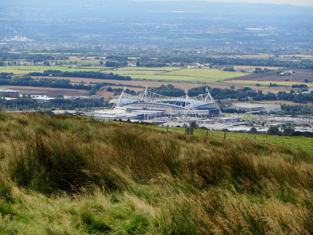
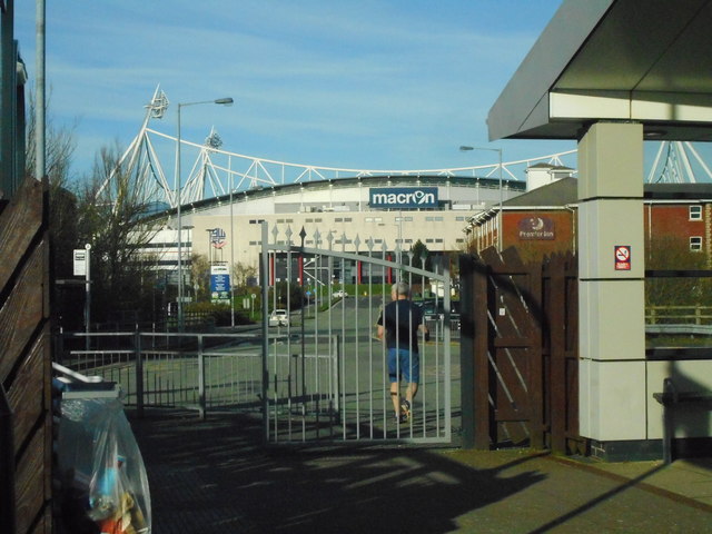
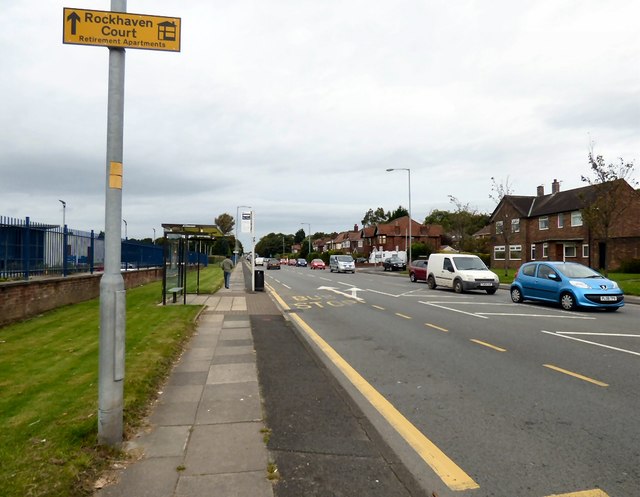
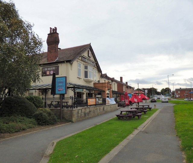
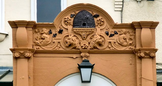
Images are sourced within 2km of 53.586209/-2.5520353 or Grid Reference SD6310. Thanks to Geograph Open Source API. All images are credited.

The University of Bolton Stadium The University of Bolton Stadium is the home of Bolton Wanderers.
The University of Bolton Stadium
The University of Bolton Stadium is the home of Bolton Wanderers.
The Unibol Stadium Built in 1996-1997, originally the Reebok Stadium and then the Macron Stadium, it is now named after the current sponsors, the University of Bolton. The stadium is home to Bolton Wanderers Football Club, currently in EFL League One.
The Unibol Stadium
Built in 1996-1997, originally the Reebok Stadium and then the Macron Stadium, it is now named after the current sponsors, the University of Bolton. The stadium is home to Bolton Wanderers Football Club, currently in EFL League One.
B5238 Scot Lane at Bolton (Blackrod) boundary
B5238 at Scot Lane End
A6 southbound at Heaton's Farm
Entrance to Baxter's Landscape Supplies
Chorley Road, A6 The Royal Oak restaurant is on the right.
Chorley Road, A6
The Royal Oak restaurant is on the right.
The Spirit of Sport Sculpture, De Havilland Way The Spirit of Sport is a piece of public art dedicated to Bolton’s sporting community. It is located on this traffic island at the junction of De Havilland Way (the Horwich Link road) and Burnden Way, just outside the Macron (formerly Reebok) Stadium, the home of Bolton Wanderers FC,

The stainless steel structure is approximately 30 metres high and is covered with the images of 700 people who have been recognised for their contribution to Bolton’s sporting life.

<span class="nowrap"><a title="http://goo.gl/2X710a" rel="nofollow ugc noopener" href="http://goo.gl/2X710a">Link</a><img style="margin-left:2px;" alt="External link" title="External link - shift click to open in new window" src="https://s1.geograph.org.uk/img/external.png" width="10" height="10"/></span>  enables you to see the Spirit of Sport up close. Use the 3D interactive model to view the 700 tiles and to find out more about the people featured on the monument and their contribution to sport.
The Spirit of Sport Sculpture, De Havilland Way
The Spirit of Sport is a piece of public art dedicated to Bolton’s sporting community. It is located on this traffic island at the junction of De Havilland Way (the Horwich Link road) and Burnden Way, just outside the Macron (formerly Reebok) Stadium, the home of Bolton Wanderers FC, The stainless steel structure is approximately 30 metres high and is covered with the images of 700 people who have been recognised for their contribution to Bolton’s sporting life. LinkExternal link enables you to see the Spirit of Sport up close. Use the 3D interactive model to view the 700 tiles and to find out more about the people featured on the monument and their contribution to sport.
Roundabout at J6 of M61, with Macron Stadium in sight
The Macron Stadium The home of Bolton Wanderers F.C. viewed from the Rotary Way near Adam Hill.
The Macron Stadium
The home of Bolton Wanderers F.C. viewed from the Rotary Way near Adam Hill.
The Macron Stadium, Horwich Bolton Wanderers FC's ground, seen from Horwich Parkway Station.
The Macron Stadium, Horwich
Bolton Wanderers FC's ground, seen from Horwich Parkway Station.
Chorley New Road The A673 towards Horwich.
Chorley New Road
The A673 towards Horwich.
The Beehive The Beehive on Chorley New Road is part of the Fayre & Square <span class="nowrap"><a title="http://www.fayre-square.com/pub/bee-hive-lostock-bolton/m6738/hotel/" rel="nofollow ugc noopener" href="http://www.fayre-square.com/pub/bee-hive-lostock-bolton/m6738/hotel/">Link</a><img style="margin-left:2px;" alt="External link" title="External link - shift click to open in new window" src="https://s1.geograph.org.uk/img/external.png" width="10" height="10"/></span> chain and is associated with adjacent Premier Inn. The pub gives its name to the Beehive roundabout where the A6027 meets the A673.

<a href="https://www.geograph.org.uk/photo/5354759">SD6509 : The Beehive: Architectural detail</a>.
The Beehive
The Beehive on Chorley New Road is part of the Fayre & Square LinkExternal link chain and is associated with adjacent Premier Inn. The pub gives its name to the Beehive roundabout where the A6027 meets the A673. SD6509 : The Beehive: Architectural detail.
The Beehive: Architectural detail Detail above the door of the Beehive <a href="https://www.geograph.org.uk/photo/5354749">SD6509 : The Beehive</a>.
The Beehive: Architectural detail
Detail above the door of the Beehive SD6509 : The Beehive.
Cranfield Road Industrial estate road on the western edge of Bolton.
Cranfield Road
Industrial estate road on the western edge of Bolton.
Asda Supermarket, Middlebrook
Roundabout sculpture, Mansell Way I could not find any information about this sculpture, but I think it may be a nod to the famous steeplejack Fred Dibnah who lived and worked in the area.
Roundabout sculpture, Mansell Way
I could not find any information about this sculpture, but I think it may be a nod to the famous steeplejack Fred Dibnah who lived and worked in the area.
Snow Covered Fields
Snow Covered Fields
Show me another place!

Red Moss is located at Grid Ref: SD6310 (Lat: 53.586209, Lng: -2.5520353)

Unitary Authority: Bolton

Police Authority: Greater Manchester

What 3 Words

///stint.fools.small. Near Horwich, Manchester

Nearby Locations

Red Moss

Related Wikis

Red Moss, Greater Manchester

Red Moss is a wetland mossland in Greater Manchester, located south of Horwich and east of Blackrod. This is a national Site of Special Scientific Interest...

Horwich Urban District

Horwich was, from 1872 to 1974, a local government district centred on the town of Horwich in the administrative county of Lancashire, England. == History... ==

Horwich

Horwich ( HORR-itch) is a town and civil parish in the Metropolitan Borough of Bolton, Greater Manchester, England, within the Historic County Boundaries...
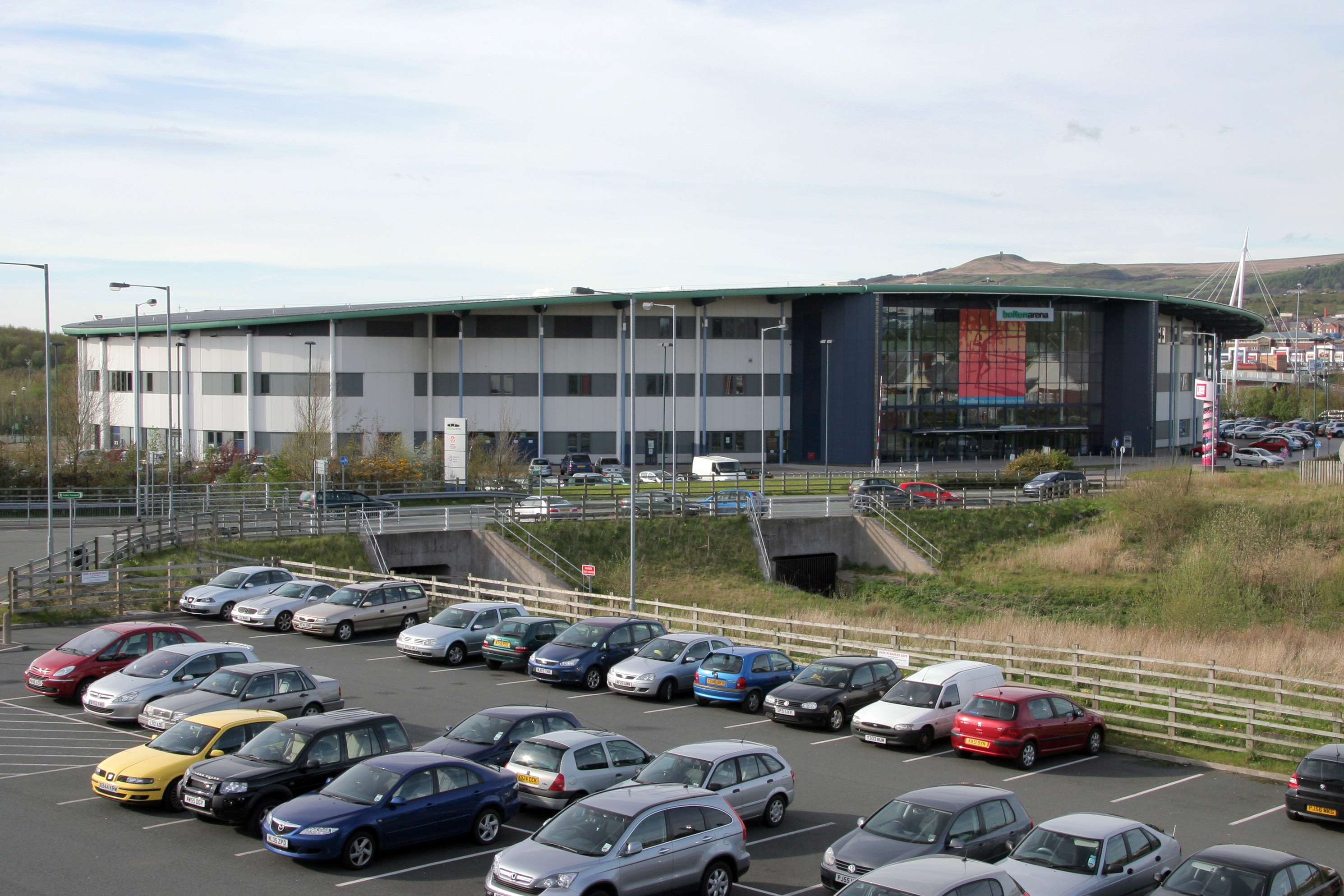
Bolton Arena

Bolton Arena is a multi-purpose indoor arena, located at Middlebrook on the boundary between Horwich and Lostock in the Metropolitan Borough of Bolton...

Nearby Amenities

Located within 500m of 53.586209,-2.5520353
Red Moss Junction
Historic Railway: junction
Railway: site
Lat/Long: 53.5841385/-2.5576001
The data included in this document is from www.openstreetmap.org. The data is made available under ODbL.

Have you been to Red Moss?

Leave your review of Red Moss below (or comments, questions and feedback).