Moss of Rothiemay

Downs, Moorland in Banffshire

Scotland

Moss of Rothiemay

Knock junction Near Knabbygates on B9022.
Knock junction Credit: Stanley Howe

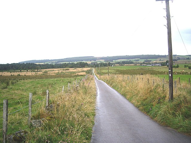
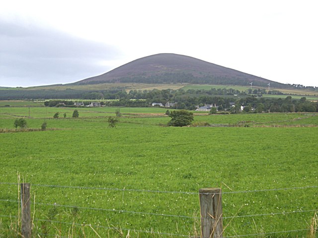
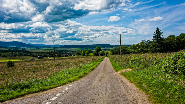
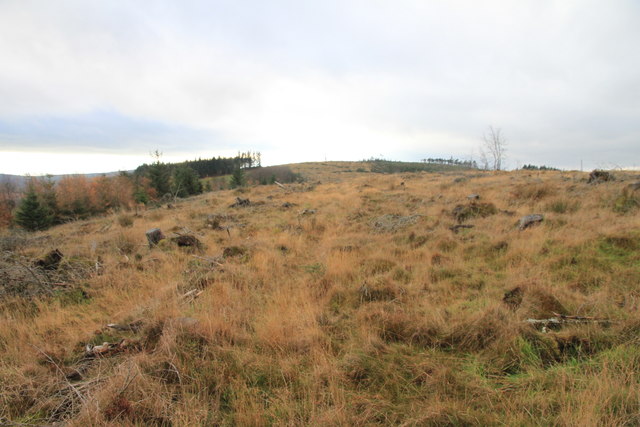
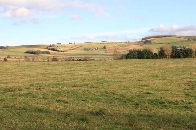
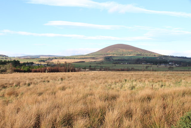
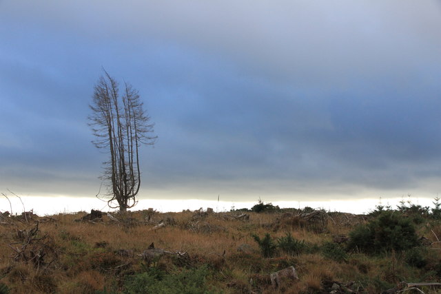
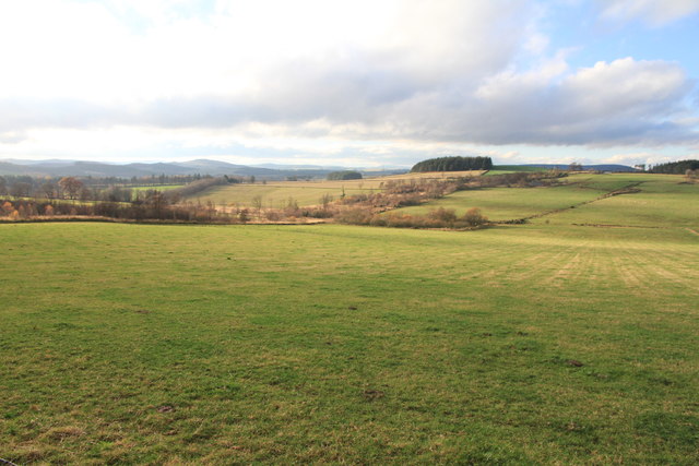
Moss of Rothiemay is a picturesque area located in Banffshire, Scotland. Nestled amidst beautiful downs and moorland, this region is known for its stunning natural beauty and diverse ecosystem. The moss is a type of wetland characterized by peat bogs, heather, and various water bodies, making it a haven for wildlife and a popular destination for nature enthusiasts.

Covering a vast expanse of land, Moss of Rothiemay is home to a variety of flora and fauna. The moss serves as a habitat for various bird species, including curlews, lapwings, and red grouse, making it an ideal spot for birdwatching. The wetland also hosts a range of plant life, such as sphagnum moss, cotton grass, and heather, which add to the area's charm and natural diversity.

In addition to its ecological significance, Moss of Rothiemay offers breathtaking views of the surrounding downs and moorland. Visitors can take leisurely walks along the designated trails, immersing themselves in the tranquility of the landscape. The open expanses of heather-covered moorland are a sight to behold, particularly during the blooming season when the entire area is carpeted with vibrant purple flowers.

The moss is easily accessible, with well-maintained paths and parking facilities available for visitors. It provides an excellent opportunity for nature lovers to explore and appreciate the unique beauty of the Scottish countryside. Whether it is birdwatching, hiking, or simply enjoying the peace and serenity of the landscape, Moss of Rothiemay offers an unforgettable experience for all who venture into its natural wonders.

If you have any feedback on the listing, please let us know in the comments section below.

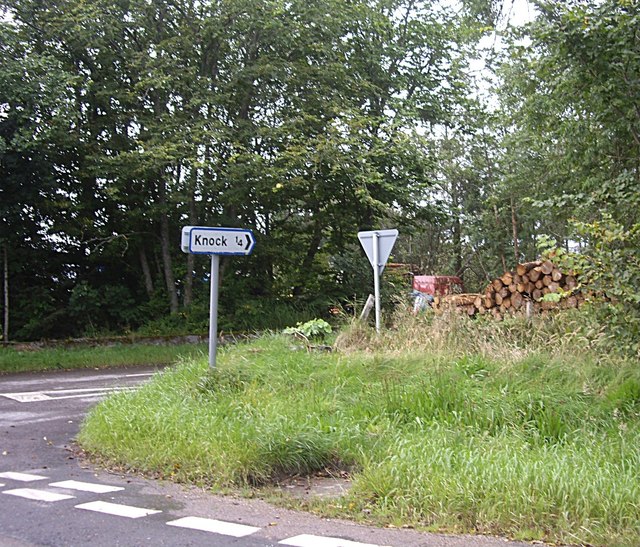
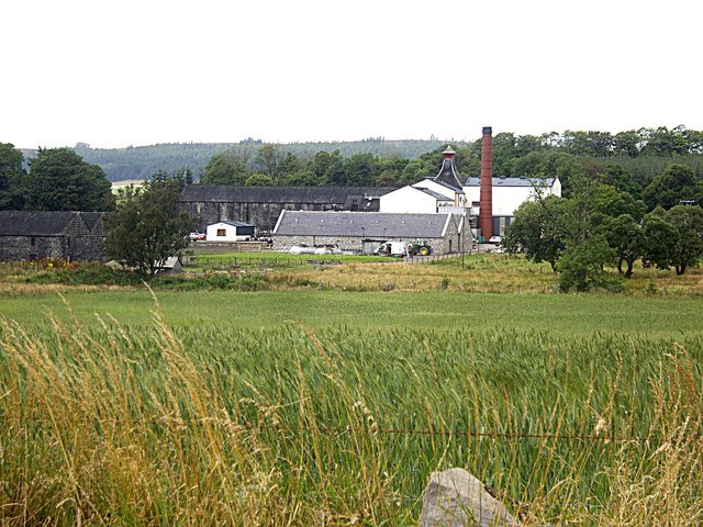
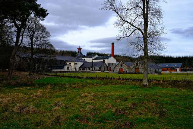
Moss of Rothiemay Images

Images are sourced within 2km of 57.547273/-2.7481842 or Grid Reference NJ5551. Thanks to Geograph Open Source API. All images are credited.

Knock junction Near Knabbygates on B9022.
Knock junction
Near Knabbygates on B9022.
View towards Knock Distillery From B9022 near Ternemny.
View towards Knock Distillery
From B9022 near Ternemny.
Access lane to Netherton of Knock From B9022.
Access lane to Netherton of Knock
From B9022.
Signpost for Netherton By B9022, between Clovenstone and Knabbygates Bridge.
Signpost for Netherton
By B9022, between Clovenstone and Knabbygates Bridge.
View to Knock Hill From B9022 at Netherton junction.
View to Knock Hill
From B9022 at Netherton junction.
Ordnance Survey  Flush Bracket G4214 This can be found on the wall of Birchlea at Shielparks.
For more detail see : <span class="nowrap"><a title="http://www.bench-marks.org.uk/bm539" rel="nofollow ugc noopener" href="http://www.bench-marks.org.uk/bm539">Link</a><img style="margin-left:2px;" alt="External link" title="External link - shift click to open in new window" src="https://s1.geograph.org.uk/img/external.png" width="10" height="10"/></span>
Ordnance Survey Flush Bracket G4214
This can be found on the wall of Birchlea at Shielparks. For more detail see : LinkExternal link
Ordnance Survey  Flush Bracket G938 This can be found on Knabbygates Bridge.
For more detail see : <span class="nowrap"><a title="http://www.bench-marks.org.uk/bm16954" rel="nofollow ugc noopener" href="http://www.bench-marks.org.uk/bm16954">Link</a><img style="margin-left:2px;" alt="External link" title="External link - shift click to open in new window" src="https://s1.geograph.org.uk/img/external.png" width="10" height="10"/></span>
Ordnance Survey Flush Bracket G938
This can be found on Knabbygates Bridge. For more detail see : LinkExternal link
Knockdhu Distillery The Knockdhu Distillery
Knockdhu Distillery
The Knockdhu Distillery
Looking west from the junction on the minor road near Knauchland
Hill of Retenach Viewed from Hill of Cairns.
Hill of Retenach
Viewed from Hill of Cairns.
View to Retanach From a minor road near Moss-side.
View to Retanach
From a minor road near Moss-side.
Knock Hill from Clovenstone
Knochdhu Distillery
Knochdhu Distillery
The B9022 heading for Portsoy
View North West from the Hill of Retenach There was no sign of the Cairns of Keith mentioned on the map.
View North West from the Hill of Retenach
There was no sign of the Cairns of Keith mentioned on the map.
Hill of Retanach The hill has been cleared of useful trees but no sign of the Cairns of Keith mentioned on the OS map.
Hill of Retanach
The hill has been cleared of useful trees but no sign of the Cairns of Keith mentioned on the OS map.
View from a minor road near South Retanach Looking towards Mannoch Hill.
View from a minor road near South Retanach
Looking towards Mannoch Hill.
Old Church Doorway and Bell Commemorates a church which stood here and was dismantled in 1958.
Old Church Doorway and Bell
Commemorates a church which stood here and was dismantled in 1958.
Show me another place!

Moss of Rothiemay is located at Grid Ref: NJ5551 (Lat: 57.547273, Lng: -2.7481842)

Unitary Authority: Moray

Police Authority: North East

What 3 Words

///brighter.proclaims.reporting. Near Aberchirder, Aberdeenshire

Related Wikis

Knockdhu distillery

Knockdhu distillery is a whisky distillery situated in Knock, Banffshire and owned by Inver House Distillers Limited. == History == The distillery was...

Knock railway station (Scotland)

Knock railway station was an intermediate stop situated on the Great North of Scotland Railway (GNoSR) line from Grange and Cairnie Junction to Tillynaught...

Milltown of Rothiemay

Milltown of Rothiemay (Scottish Gaelic: RĂ th a' Mhuigh) is a small inland village, built mostly of granite, in the north-east of Scotland and is within...

Millegin railway station

Millegin railway station, Millagan railway station or later Millegin Siding was briefly an intermediate stop situated on what became the Great North of...

Nearby Amenities

Located within 500m of 57.547273,-2.7481842
Power: pole
Lat/Long: 57.543933/-2.751769
Power: pole
Lat/Long: 57.5444858/-2.7520808
Power: pole
Lat/Long: 57.545092/-2.7527186
Power: pole
Lat/Long: 57.5457132/-2.753333
Power: pole
Lat/Long: 57.545749/-2.7544378
Power: pole
Lat/Long: 57.5457914/-2.7555565
Power: pole
Lat/Long: 57.5460487/-2.752911
Power: pole
Lat/Long: 57.5464334/-2.7524486
Power: pole
Lat/Long: 57.5468464/-2.7527651
Power: pole
Lat/Long: 57.547465/-2.7525944
Power: pole
Lat/Long: 57.5479987/-2.7524579
Power: pole
Lat/Long: 57.5486231/-2.7522857
Power: pole
Lat/Long: 57.5492567/-2.7521165
Power: pole
Lat/Long: 57.5495082/-2.7523632
Power: pole
Lat/Long: 57.5498945/-2.752748
Power: pole
Lat/Long: 57.55022/-2.7530894
Power: pole
Lat/Long: 57.5430132/-2.7466785
Power: pole
Lat/Long: 57.5436752/-2.7466892
Power: pole
Lat/Long: 57.5443384/-2.7466913
Power: pole
Lat/Long: 57.5444542/-2.7510356
Power: pole
Lat/Long: 57.5444255/-2.7500179
Power: pole
Lat/Long: 57.5443946/-2.7489511
Power: pole
Lat/Long: 57.5443659/-2.7478415
Power: pole
Lat/Long: 57.5442993/-2.7454556
Power: pole
Lat/Long: 57.544663/-2.7443225
Power: pole
Lat/Long: 57.5450026/-2.7432065
Power: pole
Lat/Long: 57.5453549/-2.7420541
Power: pole
Lat/Long: 57.5457059/-2.740921
Power: pole
Lat/Long: 57.5501788/-2.7428623
Power: pole
Lat/Long: 57.5496925/-2.7418254
Power: pole
Lat/Long: 57.5491785/-2.7409574
Power: pole
Lat/Long: 57.5460191/-2.7420285
Power: pole
Lat/Long: 57.5465664/-2.7416415
Power: pole
Lat/Long: 57.5470757/-2.7412546
Power: pole
Lat/Long: 57.547686/-2.7408441
Power: pole
Lat/Long: 57.5481885/-2.7404721
The data included in this document is from www.openstreetmap.org. The data is made available under ODbL.

Have you been to Moss of Rothiemay?

Leave your review of Moss of Rothiemay below (or comments, questions and feedback).