Muirfield South East Wood

Downs, Moorland in Roxburghshire

Scotland

Muirfield South East Wood

Groundistone Moss Dawn on the A7 with an old alignment of the road in the foreground.
Groundistone Moss Credit: Richard Webb

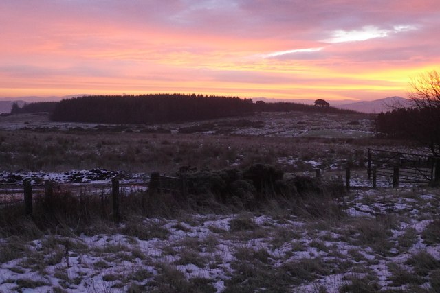
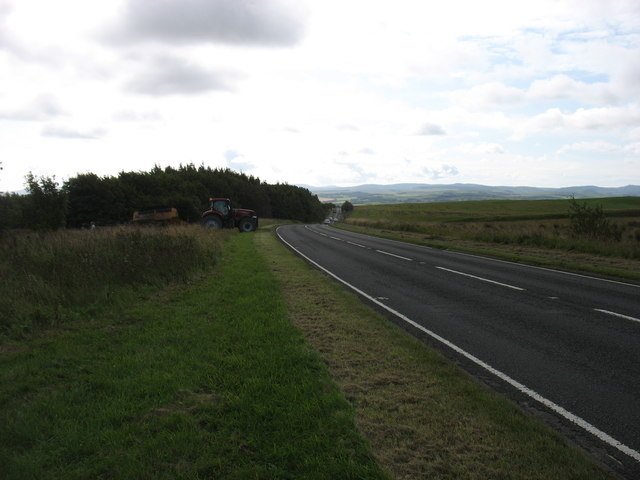
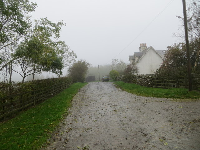
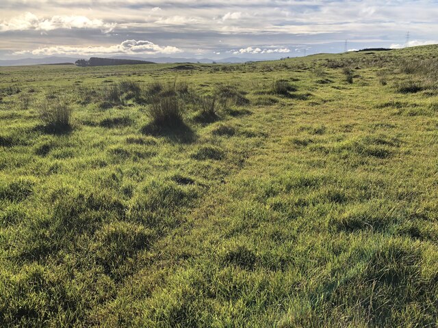
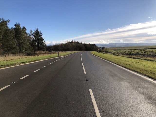
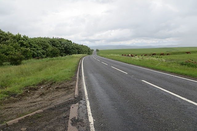
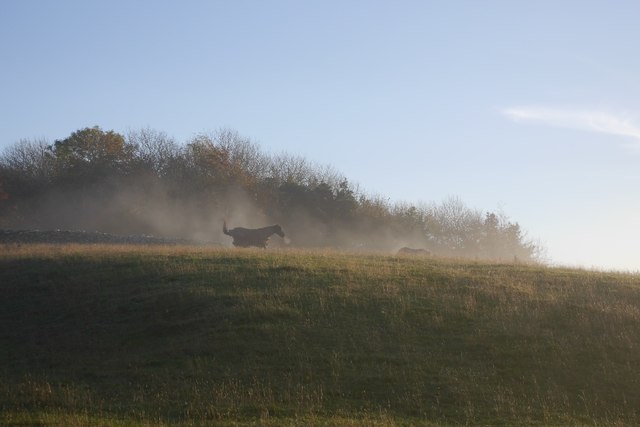
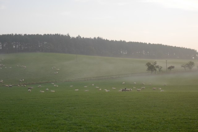
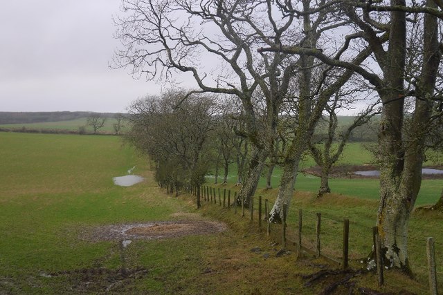
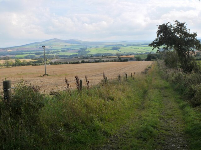
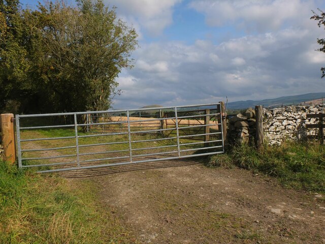
Muirfield South East Wood is a picturesque natural area located in Roxburghshire, Scotland. Covering a vast expanse of land, this woodland is a haven for nature enthusiasts and outdoor adventurers alike. The wood is situated in the southeastern part of Muirfield, offering visitors stunning views of rolling hills, open fields, and mesmerizing moorlands.

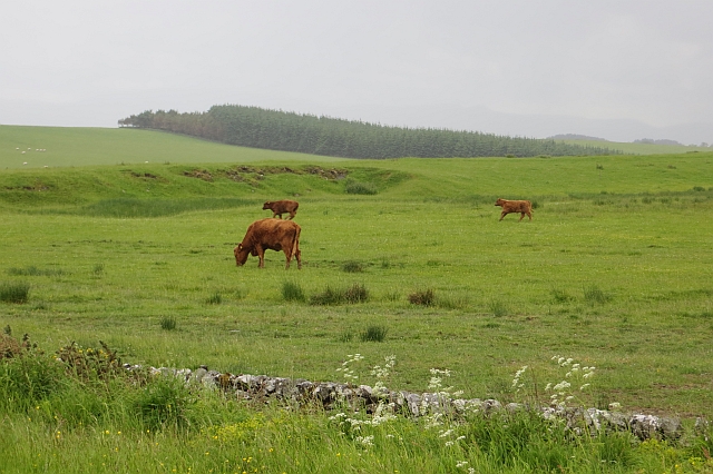
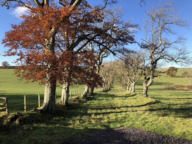
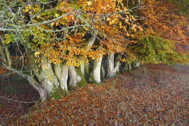
The woodland boasts a diverse ecosystem, comprising a variety of tree species including oak, beech, birch, and pine. These trees provide not only a lush green canopy, but also a habitat for an array of wildlife, such as deer, foxes, and a wide range of bird species. The area is particularly renowned for its vibrant bird population, attracting birdwatchers from near and far.

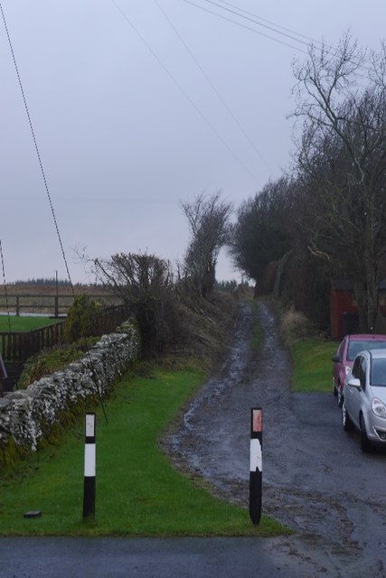
Traversing the wood, visitors can explore an extensive network of well-maintained trails that wind through the landscape. These paths cater to different levels of difficulty, accommodating both leisurely strolls and more challenging hikes. Along the way, hikers may encounter babbling brooks, small waterfalls, and tranquil ponds, adding to the enchanting ambiance of the wood.

Muirfield South East Wood offers a peaceful retreat for those seeking respite from the hustle and bustle of everyday life. Whether it's picnicking amidst the natural beauty, capturing stunning photographs, or simply enjoying the serenity, this woodland provides a truly immersive experience in the heart of nature.

If you have any feedback on the listing, please let us know in the comments section below.

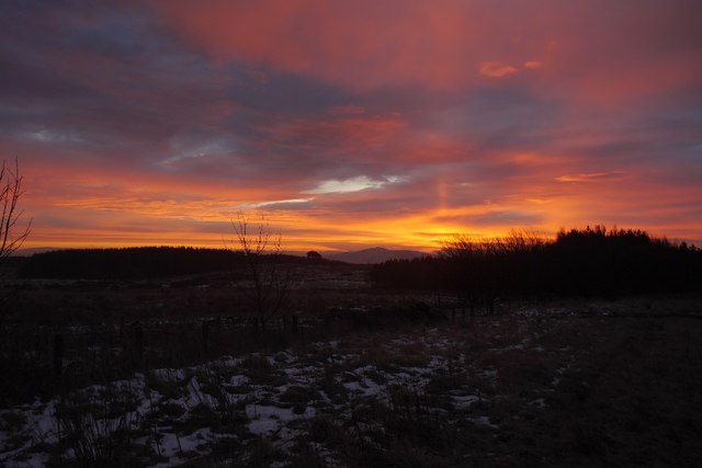
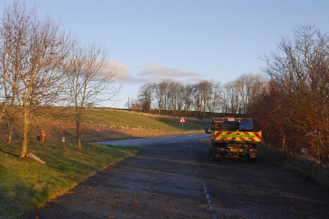
Muirfield South East Wood Images

Images are sourced within 2km of 55.472875/-2.7687588 or Grid Reference NT5120. Thanks to Geograph Open Source API. All images are credited.

Groundistone Moss Dawn on the A7 with an old alignment of the road in the foreground.
Groundistone Moss
Dawn on the A7 with an old alignment of the road in the foreground.
The A7 heading for Hawick
Track at Muirfield Looking westward.
Track at Muirfield
Looking westward.
Rough pasture, Groundistone Moss
A7 A high and sometimes rather snowy (I used to commute on this road) road between Selkirk and Hawick. It has been much improved and it is actually possible to overtake in places.
A7
A high and sometimes rather snowy (I used to commute on this road) road between Selkirk and Hawick. It has been much improved and it is actually possible to overtake in places.
Running calves, Groundistone Moss Grazing land seen from beside the A7.
Running calves, Groundistone Moss
Grazing land seen from beside the A7.
A7, Groundistone Moss The road has been straightened out here. This high level stretch between Hawick and Selkirk is notorious for snow.
A7, Groundistone Moss
The road has been straightened out here. This high level stretch between Hawick and Selkirk is notorious for snow.
Old track, Horsleyhill With beech trees remaining from hedges
Old track, Horsleyhill
With beech trees remaining from hedges
Fields and strip, Horseley Hill
A cool morning A horse gets up after a roll on an anticyclonic morning.
A cool morning
A horse gets up after a roll on an anticyclonic morning.
An old hedge, Horsley Hill Grown out beech hedge beside a cut off bend in the road.
An old hedge, Horsley Hill
Grown out beech hedge beside a cut off bend in the road.
Sheep, Horsely Hill The morning mist is clearing  at the end of a long period of settled weather.
Sheep, Horsely Hill
The morning mist is clearing at the end of a long period of settled weather.
Farm track, Clarilaw
Wet fields, Horsleyhill There are the remains of a double row of hedges here, a few trees and an earthbank. Looks like a road on the map and may have been one once.
Wet fields, Horsleyhill
There are the remains of a double row of hedges here, a few trees and an earthbank. Looks like a road on the map and may have been one once.
Sunrise, Groundistone Moss A Sun pillar above Rubers Law - resulting from ice crystals in the air.

This is not a geograph - too close to the gridline and too dark. Unfortunately it does not fit anymore. I intend to get it correctly classified when the site is repaired.
Sunrise, Groundistone Moss
A Sun pillar above Rubers Law - resulting from ice crystals in the air. This is not a geograph - too close to the gridline and too dark. Unfortunately it does not fit anymore. I intend to get it correctly classified when the site is repaired.
A7 layby north of Hawick Just up the hill from Newton.
A7 layby north of Hawick
Just up the hill from Newton.
Track above Clarilaw See Richard Webb's photograph <a href="https://www.geograph.org.uk/photo/4805887">NT5218 : Farm track, Clarilaw</a> for the start of this track in Clarilaw. Rubers Law (424m) is the hill in the distance.
Track above Clarilaw
See Richard Webb's photograph NT5218 : Farm track, Clarilaw for the start of this track in Clarilaw. Rubers Law (424m) is the hill in the distance.
Track junction above Clarilaw At the top of the track up from Clarilaw, the Hawick Riding Route heads to the left in this view. Other walking routes follow tracks to the SW from here.
Track junction above Clarilaw
At the top of the track up from Clarilaw, the Hawick Riding Route heads to the left in this view. Other walking routes follow tracks to the SW from here.
Show me another place!

Muirfield South East Wood is located at Grid Ref: NT5120 (Lat: 55.472875, Lng: -2.7687588)

Unitary Authority: The Scottish Borders

Police Authority: The Lothians and Scottish Borders

What 3 Words

///barman.migrants.exonerate. Near Hawick, Scottish Borders

Related Wikis

Bowismiln

Bowismiln is a village in the Scottish Borders area of Scotland. == See also == List of places in the Scottish Borders List of places in Scotland ��2...

Hassendean, Scottish Borders

Hassendean is a hamlet in the Scottish Borders south of Edinburgh, Scotland. The stream is the Hassendean Burn which flows down to the River Teviot five...

Hassendean railway station

Hassendean railway station served the village of Hassendean, Scottish Borders, Scotland from 1850 to 1969 on the Waverley Route. == History == The station...

Appletreehall

Appletreehall is a village in the Scottish Borders area of Scotland, 2 miles north-east of Hawick, in the historic county of Roxburghshire. Nearby are...

Burnfoot, Hawick

Burnfoot (Scottish Gaelic: Bun na h-Aibhne, Scots: Burnfit) is a housing estate just east of the A7, in the northern part of Hawick, by the Boonraw Burn...

Mansfield Park, Hawick

Mansfield Park is a rugby union ground in Hawick, Scotland, with a capacity of approximately 5,000. It is the home of Hawick Rugby Football Club, who currently...

Ashkirk

Ashkirk is a small village on the Ale Water, in the Scottish Borders area of Scotland. It is located just off the A7 road, approximately 6 miles (10 kilometres...

Stirches

Stirches is an area of Hawick in the Scottish Borders, mostly consisting of ex-council housing built in 1973. It is often considered to be one of the more...

Nearby Amenities

Located within 500m of 55.472875,-2.7687588
Muirfield
Place: hamlet
Lat/Long: 55.4739073/-2.7719188
Power: pole
Lat/Long: 55.4697513/-2.7641307
Power: pole
Lat/Long: 55.4703442/-2.7647645
Power: pole
Lat/Long: 55.4709458/-2.7654236
Power: pole
Lat/Long: 55.4715488/-2.7660905
Power: pole
Lat/Long: 55.4721849/-2.7668922
Power: pole
Lat/Long: 55.4727952/-2.7675055
Power: pole
Lat/Long: 55.4734198/-2.7681469
Power: pole
Lat/Long: 55.4736578/-2.7677626
Power: pole
Lat/Long: 55.4741655/-2.7669532
Power: pole
Lat/Long: 55.4744512/-2.7659556
Power: pole
Lat/Long: 55.4747339/-2.7649477
Power: pole
Lat/Long: 55.4750181/-2.7639068
Power: pole
Lat/Long: 55.4753037/-2.7629116
The data included in this document is from www.openstreetmap.org. The data is made available under ODbL.

Have you been to Muirfield South East Wood?

Leave your review of Muirfield South East Wood below (or comments, questions and feedback).