Singley Brae

Downs, Moorland in Roxburghshire

Scotland

Singley Brae

Southwest from Penchrise Pen Looking across the broad ridge crossed by the track heading for the forest plantations at Hawk Hass to the peak of Skelfhill Pen (532m), another of the several prominent summits of resistant igneous rocks dating from the early Carboniferous period. On the intermediate ridge in the centre is Brae Plantation.
Southwest from Penchrise Pen Credit: Jim Barton

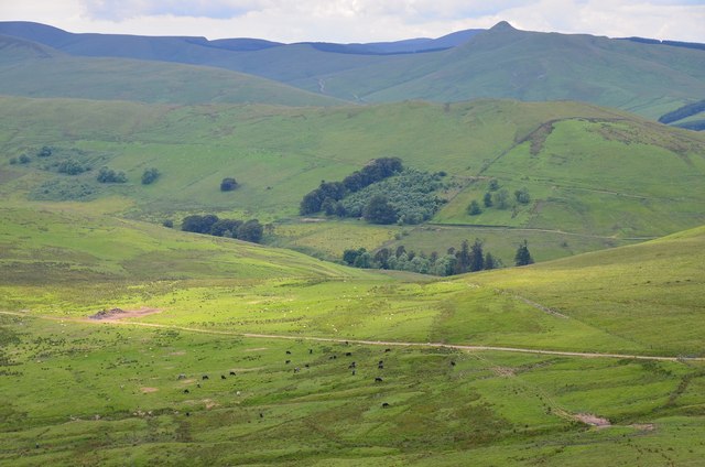
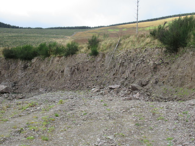
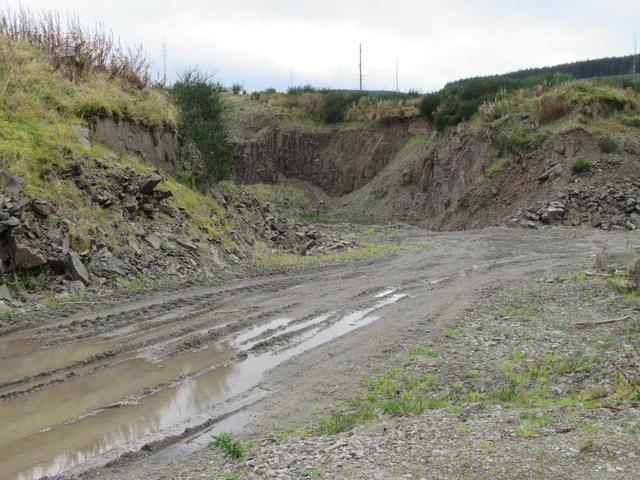
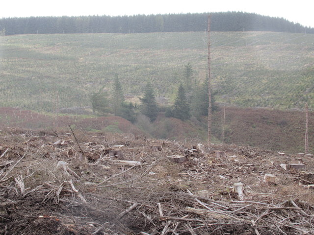
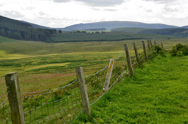
Singley Brae is a picturesque area located in Roxburghshire, Scotland. Situated amidst the stunning Downs and Moorland, it offers a captivating and serene environment for nature lovers and those seeking tranquility.

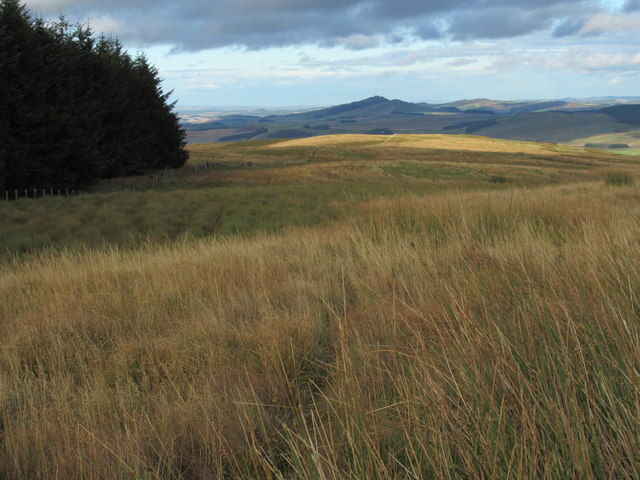
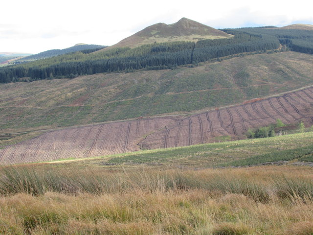
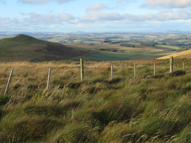
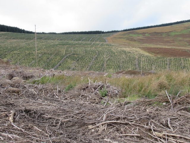
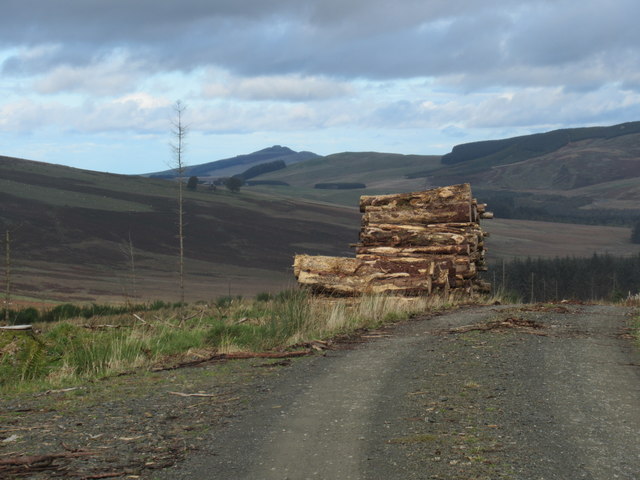
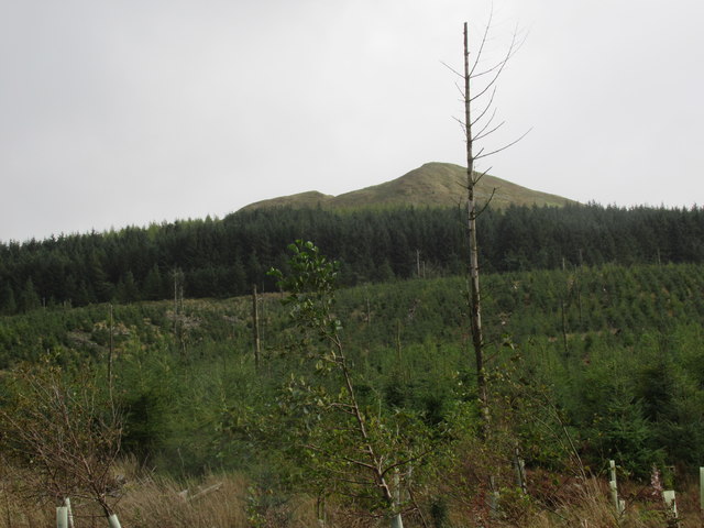
The Downs of Singley Brae are characterized by rolling hills and expansive grasslands. These hills provide breathtaking views of the surrounding countryside, with their gentle slopes and lush greenery. The area is known for its rich biodiversity, offering a habitat for various species of plants and animals.

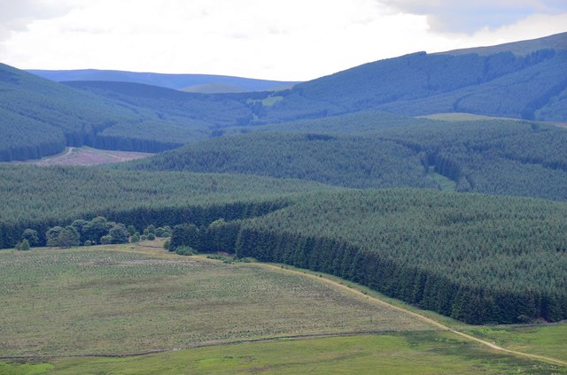
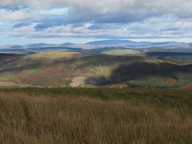
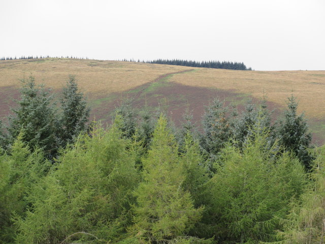
Adjacent to the Downs, the Moorland of Singley Brae showcases a unique landscape with its vast expanse of heather-covered hills and open spaces. The moors are a haven for birdwatchers, as they are home to a wide range of bird species, including curlews, lapwings, and red grouse. The moorland is also home to some rare plant species, adding to its ecological significance.

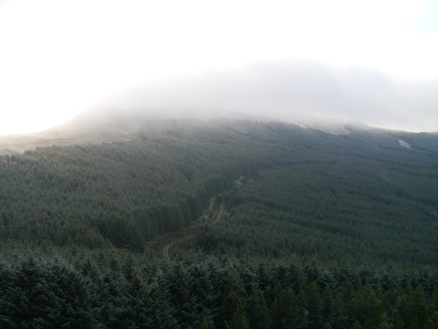
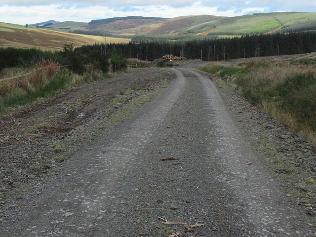
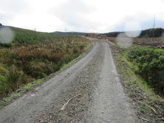
Singley Brae is a popular destination for outdoor enthusiasts, offering opportunities for activities such as hiking, birdwatching, and photography. The area is crisscrossed with well-maintained trails, allowing visitors to explore the natural beauty at their own pace. The peaceful ambiance and stunning vistas make it an ideal spot for relaxation and contemplation.

Visitors to Singley Brae can also explore the surrounding area, which includes charming villages, historical landmarks, and cultural attractions. The nearby town of Roxburghshire offers a range of amenities, including accommodation, dining options, and shops, providing convenience for those wishing to stay longer and fully immerse themselves in the beauty of Singley Brae.

If you have any feedback on the listing, please let us know in the comments section below.

Singley Brae Images

Images are sourced within 2km of 55.327824/-2.7942081 or Grid Reference NT4904. Thanks to Geograph Open Source API. All images are credited.

Southwest from Penchrise Pen Looking across the broad ridge crossed by the track heading for the forest plantations at Hawk Hass to the peak of Skelfhill Pen (532m), another of the several prominent summits of resistant igneous rocks dating from the early Carboniferous period. On the intermediate ridge in the centre is Brae Plantation.
Southwest from Penchrise Pen
Looking across the broad ridge crossed by the track heading for the forest plantations at Hawk Hass to the peak of Skelfhill Pen (532m), another of the several prominent summits of resistant igneous rocks dating from the early Carboniferous period. On the intermediate ridge in the centre is Brae Plantation.
Forestry around Peelbraehope This view from the summit of Penchrise Pen shows just a small part of the forestry plantations in this area. Left of centre is the clearing at Peelbraehope (see <a href="https://www.geograph.org.uk/photo/671029">NT4804 : Peelbraehope</a>) with the track from Barns to Hawkhass coming in from the lower right.
Forestry around Peelbraehope
This view from the summit of Penchrise Pen shows just a small part of the forestry plantations in this area. Left of centre is the clearing at Peelbraehope (see NT4804 : Peelbraehope) with the track from Barns to Hawkhass coming in from the lower right.
The Western Slope Of Scaw'd Law Extensive Sitka forestry on the western slopes of Scaw'd Law as viewed from Maiden Paps.  In the distance, snow is falling over Greatmoor Hill.  Only a few light flakes fell on my time heading up to Maiden Paps.
The Western Slope Of Scaw'd Law
Extensive Sitka forestry on the western slopes of Scaw'd Law as viewed from Maiden Paps. In the distance, snow is falling over Greatmoor Hill. Only a few light flakes fell on my time heading up to Maiden Paps.
View north-east from The Pike  near Hawick Nine years on and the weather is the only thing that has changed - for the better I hasten to add! Ruberslaw in mid shot on the far side of which is a wild-camping facility.
View north-east from The Pike near Hawick
Nine years on and the weather is the only thing that has changed - for the better I hasten to add! Ruberslaw in mid shot on the far side of which is a wild-camping facility.
Recent view of forest edge north of Maiden Paps near Hawick Recent clearfell and not so obvious close by, re-planted clearfell.
Recent view of forest edge north of Maiden Paps near Hawick
Recent clearfell and not so obvious close by, re-planted clearfell.
View north off Stirkcleugh Height near Hawick The Eildons in view distantly top right.
View north off Stirkcleugh Height near Hawick
The Eildons in view distantly top right.
View east-north-east from The Pike near Hawick A clear view of Cheviot.
View east-north-east from The Pike near Hawick
A clear view of Cheviot.
Catrail on The Pike near Hawick
Disused quarry in forestry south of Hawick Hawick Path signs are dotted around to aid navigation though in clearfell the problem is not so great.
Disused quarry in forestry south of Hawick
Hawick Path signs are dotted around to aid navigation though in clearfell the problem is not so great.
Another part of a disused quarry in forestry south of Hawick
Clearfell and re-planting near The Pike south of Hawick
Re-planted lower slopes of Maiden Paps near Hawick
Forest road beneath Maiden Paps south of Hawick
Untouched wee neuk amid commercial forestry south of Hawick A passing light shower created a filter - largely unwanted!
Untouched wee neuk amid commercial forestry south of Hawick
A passing light shower created a filter - largely unwanted!
Log pile with a view near Stennishope south of Hawick
Standing dead tree below Maiden Paps near Hawick I don't know whether these are chance remnants or whether left on purpose as bird roosts.
Standing dead tree below Maiden Paps near Hawick
I don't know whether these are chance remnants or whether left on purpose as bird roosts.
Forest track on rising ground near Hawkhass south of Hawick
Valley of the Penchrise Burn A wide valley from which the Penchrise Burn flows NE to the Slitrig Water.  In the forestry plantation the earthwork known as the Catrail crosses the valley in its intermittent course northwestwards to the Borthwick Water.
Valley of the Penchrise Burn
A wide valley from which the Penchrise Burn flows NE to the Slitrig Water. In the forestry plantation the earthwork known as the Catrail crosses the valley in its intermittent course northwestwards to the Borthwick Water.
Show me another place!

Singley Brae is located at Grid Ref: NT4904 (Lat: 55.327824, Lng: -2.7942081)

Unitary Authority: The Scottish Borders

Police Authority: The Lothians and Scottish Borders

What 3 Words

///scrum.about.hires. Near Teviothead, Scottish Borders

Nearby Locations

Singley Brae The Pike

Related Wikis

Maiden Paps (Hawick)

The Maiden Paps are twin hills near Hawick, in the Scottish Borders of the south east of Scotland, so named because they have the shape of human breasts...

Shankend

Shankend Manor was a sixteenth-century mansion located some six miles (ten kilometres) south of Hawick, close to Whitrope Siding in Scotland. It was constructed...

Shankend railway station

Shankend railway station served the hamlet of Shankend, Scottish Borders, Scotland from 1862 to 1969 on the Border Union Railway. == History == The station...
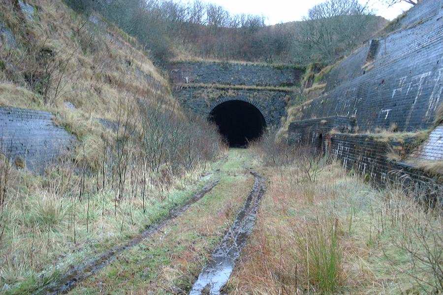
Whitrope Tunnel

The Whitrope Tunnel is a disused railway tunnel in the Scottish Borders, situated 12 miles (19 km) south of Hawick on the Waverley Route, close to Whitrope...

Nearby Amenities

Located within 500m of 55.327824,-2.7942081
Singley Brae
Place: locality
Lat/Long: 55.328925/-2.7949002
The Pike
Ele: 463
Natural: peak
Lat/Long: 55.330683/-2.8002036
The data included in this document is from www.openstreetmap.org. The data is made available under ODbL.

Have you been to Singley Brae?

Leave your review of Singley Brae below (or comments, questions and feedback).