Matthew Field

Downs, Moorland in Cumberland Allerdale

England

Matthew Field

Cottages at Fell Side The Cumbria Way low level alternative route from Skiddaw House to Nether Row follows the minor road from Green Head past these cottages at Fell Side (next photograph <a href="https://www.geograph.org.uk/photo/7389300">NY3037 : The Cumbria Way, Fell Side</a>).
Cottages at Fell Side Credit: Adrian Taylor

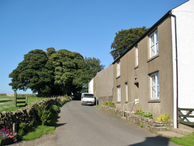
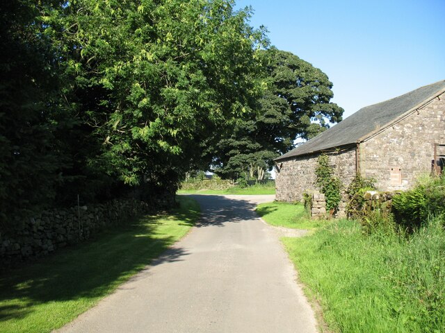
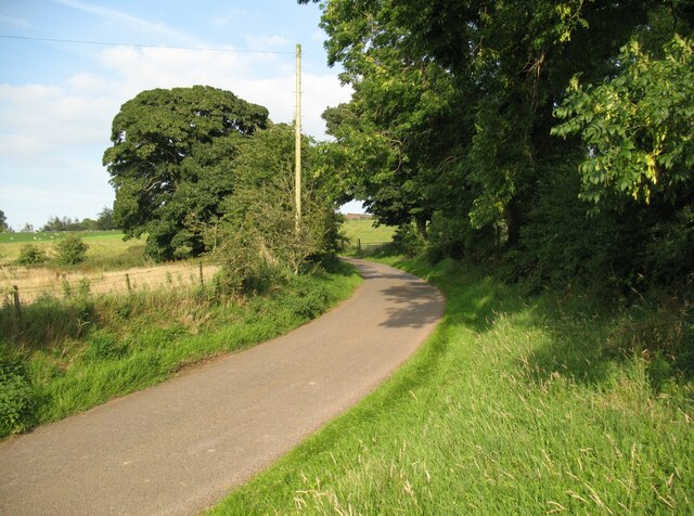
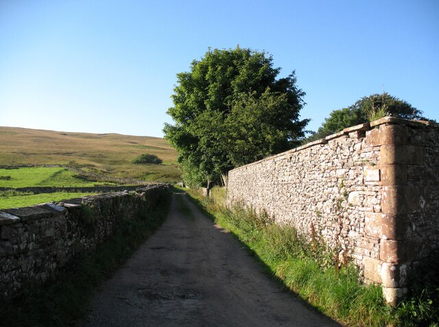
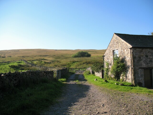
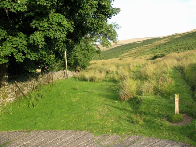
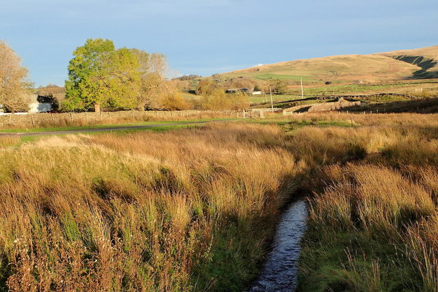
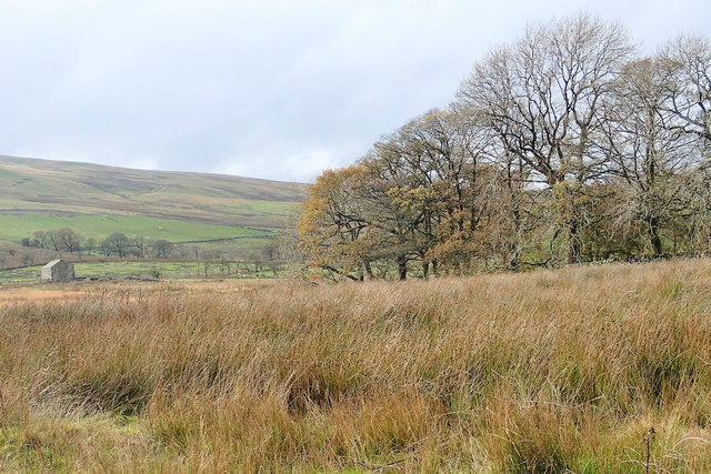
Matthew Field is a vast expanse of natural beauty located in Cumberland, England. It encompasses a variety of terrains, including Downs, Moorland, and other picturesque landscapes. Stretching over a considerable area, the field is a popular destination for nature enthusiasts, hikers, and those seeking tranquility amidst stunning surroundings.

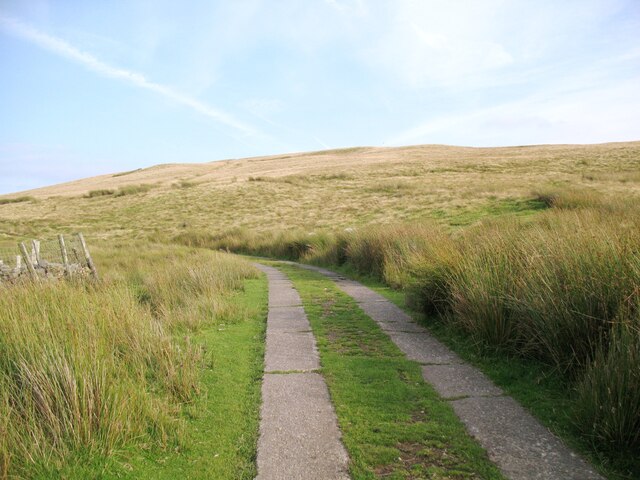
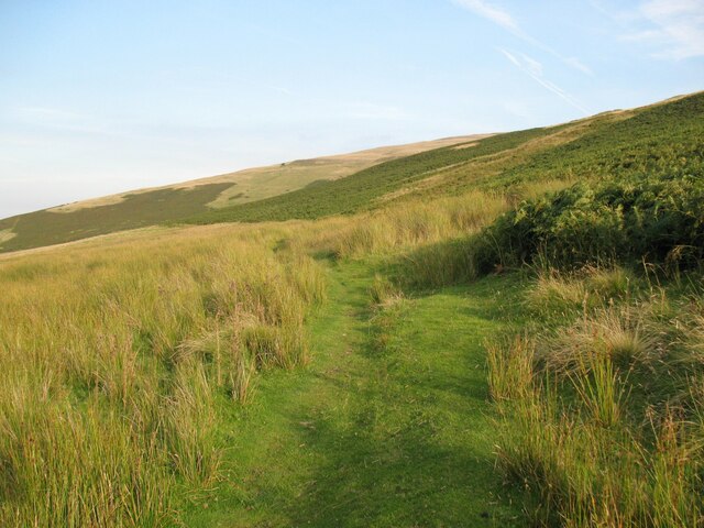
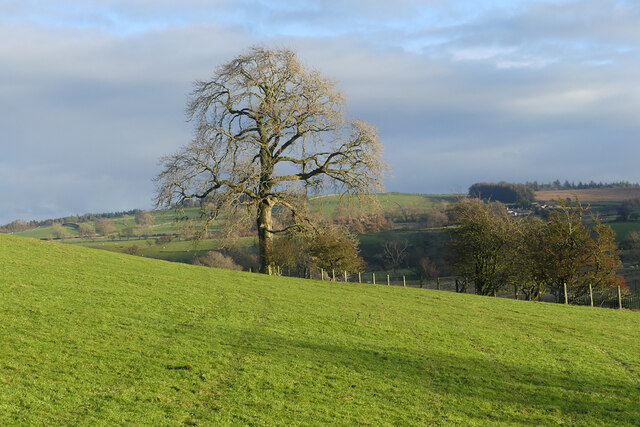
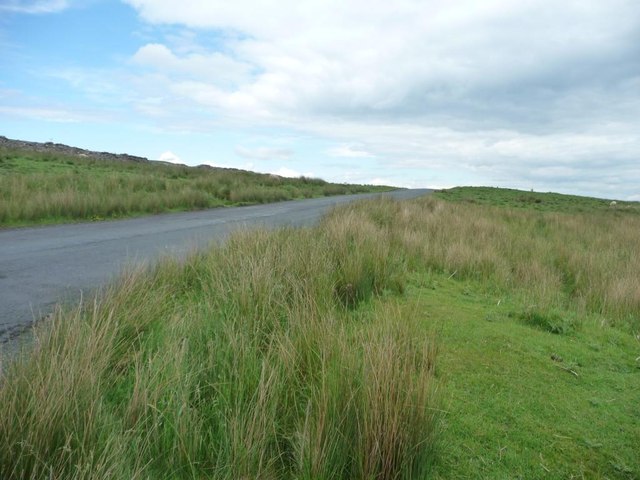
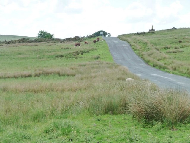
The Downs section of Matthew Field showcases rolling hills covered with lush green grass. This area offers breathtaking panoramic views of the surrounding countryside, making it an ideal spot for picnics, leisurely walks, or simply enjoying the serene atmosphere. The gentle slopes of the Downs provide ample opportunities for outdoor activities such as kite flying and horse riding.

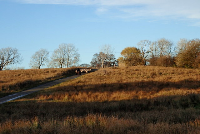
The Moorland region within Matthew Field is characterized by its wild and rugged terrain. Visitors can explore vast expanses of open moorland, adorned with heather and gorse bushes. This part of the field offers a true sense of wilderness, with its untamed beauty and unique flora and fauna. It is a haven for birdwatchers, who can spot a variety of avian species, including buzzards, curlews, and grouse.

Trails and paths wind their way through Matthew Field, providing visitors with the chance to immerse themselves in nature. The field is home to an array of wildlife, such as deer, foxes, and rabbits, making it a haven for animal lovers and photographers alike.

Overall, Matthew Field in Cumberland is a place of natural wonders and stunning landscapes, offering a sanctuary for those seeking solace in the beauty of the outdoors.

If you have any feedback on the listing, please let us know in the comments section below.

Matthew Field Images

Images are sourced within 2km of 54.723106/-3.0956551 or Grid Reference NY2937. Thanks to Geograph Open Source API. All images are credited.
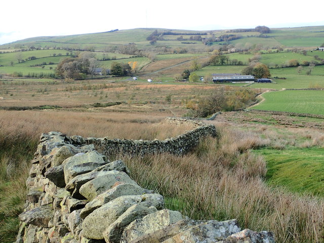
Cottages at Fell Side The Cumbria Way low level alternative route from Skiddaw House to Nether Row follows the minor road from Green Head past these cottages at Fell Side (next photograph <a href="https://www.geograph.org.uk/photo/7389300">NY3037 : The Cumbria Way, Fell Side</a>).
Cottages at Fell Side
The Cumbria Way low level alternative route from Skiddaw House to Nether Row follows the minor road from Green Head past these cottages at Fell Side (next photograph NY3037 : The Cumbria Way, Fell Side).
The Cumbria Way, Fell Side Fell Side is a small farming community at the northernmost edge of the Lake District fells.  It is on the route of The Cumbria Way low level alternative route from Skiddaw House to Nether Row (next photograph <a href="https://www.geograph.org.uk/photo/7384814">NY3037 : Cottages at Fell Side</a>).
The Cumbria Way, Fell Side
Fell Side is a small farming community at the northernmost edge of the Lake District fells. It is on the route of The Cumbria Way low level alternative route from Skiddaw House to Nether Row (next photograph NY3037 : Cottages at Fell Side).
The Cumbria Way near Branthwaite This minor road is the low level alternative route of The Cumbria Way long distance path, from Skiddaw House to Nether Row (next photograph <a href="https://www.geograph.org.uk/photo/7384823">NY3037 : The Cumbria Way, Fell Side</a>).
The Cumbria Way near Branthwaite
This minor road is the low level alternative route of The Cumbria Way long distance path, from Skiddaw House to Nether Row (next photograph NY3037 : The Cumbria Way, Fell Side).
The Cumbria Way, Fell Side The Cumbria Way long distance path leaves the road at Fell Side and follows an access track between stone walls (next photograph <a href="https://www.geograph.org.uk/photo/7389466">NY3037 : The Cumbria Way, Fell Side</a>).
The track is a public footpath leading to Little Fellside and Nether Row.
The Cumbria Way, Fell Side
The Cumbria Way long distance path leaves the road at Fell Side and follows an access track between stone walls (next photograph NY3037 : The Cumbria Way, Fell Side). The track is a public footpath leading to Little Fellside and Nether Row.
The Cumbria Way near Fell Side The low level alternative route of The Cumbria Way follows the public footpath from Fell Side to Nether Row along the access track to Little Fellside.
The Cumbria Way near Fell Side
The low level alternative route of The Cumbria Way follows the public footpath from Fell Side to Nether Row along the access track to Little Fellside.
The Cumbria Way, Fell Side The low level alternative route of The Cumbria Way follows the public footpath from Fell Side to Nether Row along the access track to Little Fellside (next photograph <a href="https://www.geograph.org.uk/photo/7389459">NY3037 : The Cumbria Way near Fell Side</a>).
The Cumbria Way, Fell Side
The low level alternative route of The Cumbria Way follows the public footpath from Fell Side to Nether Row along the access track to Little Fellside (next photograph NY3037 : The Cumbria Way near Fell Side).
Caldbeck Bunkhouse Located beside The Cumbria Way at Fell Side, Caldbeck Bunkhouse is run by the Youth Hostel Association and is reserved for group bookings.
Caldbeck Bunkhouse
Located beside The Cumbria Way at Fell Side, Caldbeck Bunkhouse is run by the Youth Hostel Association and is reserved for group bookings.
The Cumbria Way, Little Fellside This grassy track is a public footpath from Fell Side to Potts Gill and Nether Row.  It is the low level alternative route of The Cumbria Way between Skiddaw House and Nether Row near Caldbeck.
The Cumbria Way, Little Fellside
This grassy track is a public footpath from Fell Side to Potts Gill and Nether Row. It is the low level alternative route of The Cumbria Way between Skiddaw House and Nether Row near Caldbeck.
Little Fellside The public footpath from Fell Side to Potts Gill and Nether Row leaves the concrete access track to Little Fellside and continues ahead along a grassy track in the direction of the waymark arrow.
A second public footpath follows the concrete track down through Little Fellside to Moor House.
The Ordnance Survey indicates that the low level alternative route of The Cumbria Way follows the stone intake wall at the edge of the open fell on a former, now lost, footpath.  This route leads to a missing stile and boggy ground and is impassable.  The Cumbria Way waymarks direct northbound walkers along the public footpath to Potts Gill (next photograph <a href="https://www.geograph.org.uk/photo/7421356">NY3137 : The Cumbria Way, Little Fellside</a>).
Little Fellside
The public footpath from Fell Side to Potts Gill and Nether Row leaves the concrete access track to Little Fellside and continues ahead along a grassy track in the direction of the waymark arrow. A second public footpath follows the concrete track down through Little Fellside to Moor House. The Ordnance Survey indicates that the low level alternative route of The Cumbria Way follows the stone intake wall at the edge of the open fell on a former, now lost, footpath. This route leads to a missing stile and boggy ground and is impassable. The Cumbria Way waymarks direct northbound walkers along the public footpath to Potts Gill (next photograph NY3137 : The Cumbria Way, Little Fellside).
Pasture, Caldbeck A large ash seen from the footpath north of Little Fellside.
Pasture, Caldbeck
A large ash seen from the footpath north of Little Fellside.
Greenhead Looking down to the hamlet from below Willy Knott.
Greenhead
Looking down to the hamlet from below Willy Knott.
Driving the sheep to pasture Late afternoon.
Driving the sheep to pasture
Late afternoon.
Burblethwaite Beck
Burblethwaite Beck
Matthew Field Which I think is the name of the barn on the left, just outside this square. Or it could be the name of this patch of boggy moorland.
Matthew Field
Which I think is the name of the barn on the left, just outside this square. Or it could be the name of this patch of boggy moorland.
B5299 heading east, Ellerbeck Common From the junction with the road to Fellside.
B5299 heading east, Ellerbeck Common
From the junction with the road to Fellside.
Boundary wall, Ellerbeck Common This side [south]: open access common land in Caldbeck parish and the Lake District National Park. Far side [north]: farmland in Boltons parish, not open access, not in the park.
Boundary wall, Ellerbeck Common
This side [south]: open access common land in Caldbeck parish and the Lake District National Park. Far side [north]: farmland in Boltons parish, not open access, not in the park.
Signpost on the B5299, Ellerbeck Common With distances to Aspatria, Carlisle and Fellside [and places in between], plus directions to Keswick, new laid eggs and somewhere to stay.
Signpost on the B5299, Ellerbeck Common
With distances to Aspatria, Carlisle and Fellside [and places in between], plus directions to Keswick, new laid eggs and somewhere to stay.
Cattle and sheep, Ellerbeck Common Alongside the B5299.
Cattle and sheep, Ellerbeck Common
Alongside the B5299.
Show me another place!

Matthew Field is located at Grid Ref: NY2937 (Lat: 54.723106, Lng: -3.0956551)

Administrative County: Cumbria

District: Allerdale

Police Authority: Cumbria

What 3 Words

///fish.fists.mercy. Near Wigton, Cumbria

Nearby Locations

Branthwaite Matthew Field

Related Wikis

Brae Fell

Brae Fell is a fell in the English Lake District, situated 12 kilometres (7+1⁄2 miles) north of Keswick it reaches a height of 586 m (1,923 ft) and is...

Skiddaw Group

For the Skiddaw group of hills, see Skiddaw Group The Skiddaw Group is a group of sedimentary rock formations named after the mountain Skiddaw in the English...

Longlands Fell

Longlands Fell is a small fell in the northern part of the English Lake District. It is situated in the high ground known as the Uldale Fells, 5.5 kilometres...

Lowthwaite Fell

Lowthwaite Fell is a hill in the Northern Fells of the Lake District in England. It is a grassy eminence, rising to a height of 509 metres (1,670 ft),...

Nearby Amenities

Located within 500m of 54.723106,-3.0956551
Branthwaite
Place: hamlet
Lat/Long: 54.7259567/-3.0916183
Askew Mire
Place: locality
Lat/Long: 54.7252829/-3.0945036
Power: pole
Lat/Long: 54.7243873/-3.0974451
Power: pole
Lat/Long: 54.7249561/-3.0986517
Power: pole
Lat/Long: 54.725328/-3.0994865
Power: pole
Lat/Long: 54.7258749/-3.1007465
The data included in this document is from www.openstreetmap.org. The data is made available under ODbL.

Have you been to Matthew Field?

Leave your review of Matthew Field below (or comments, questions and feedback).