White Braes
Downs, Moorland in Orkney
Scotland
White Braes
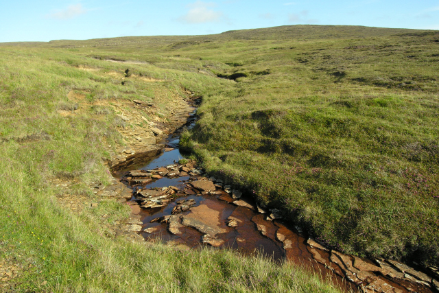
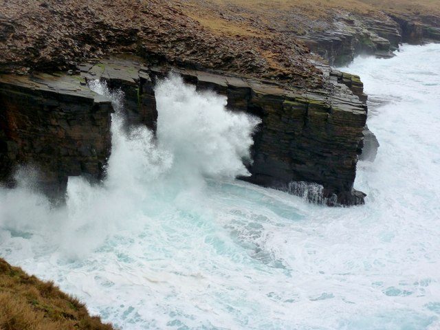
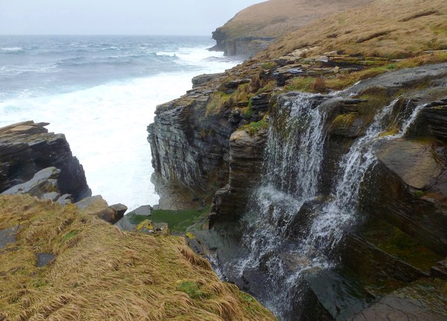
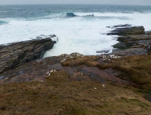
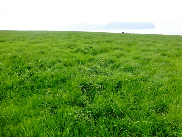
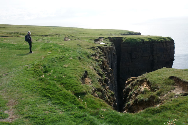
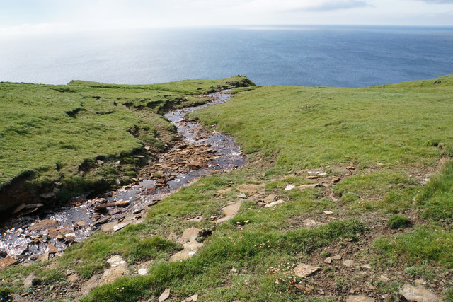
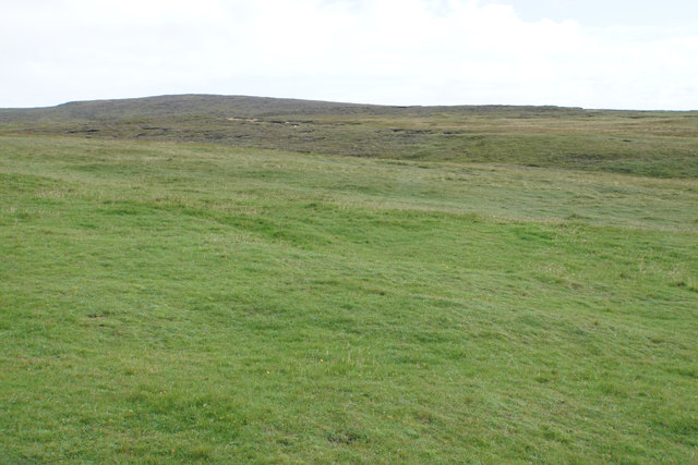
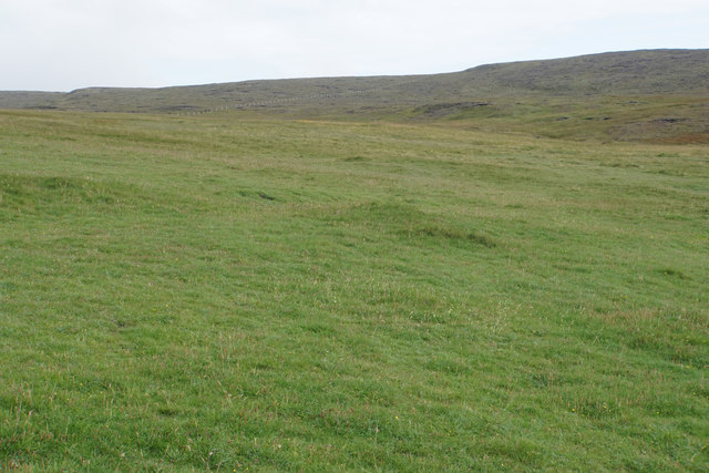
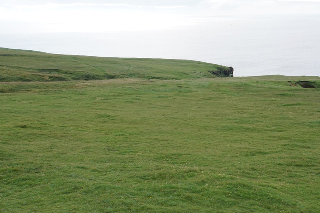
White Braes is a picturesque area located in Orkney, a group of islands situated off the northern coast of mainland Scotland. Known for its stunning natural beauty, White Braes is characterized by its rolling downs and vast moorlands, making it a haven for outdoor enthusiasts and nature lovers.
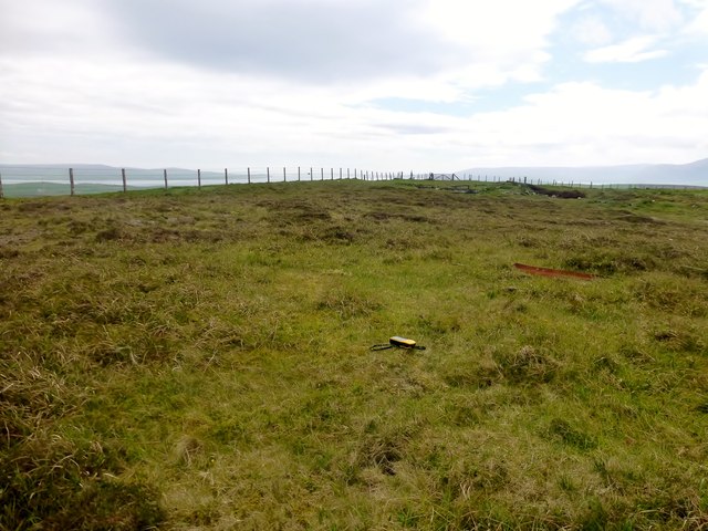
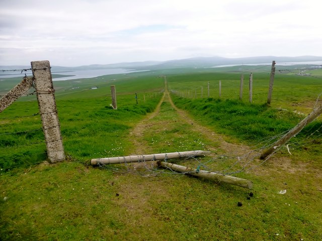
The downs of White Braes offer panoramic views of the surrounding landscape, with its gentle slopes covered in lush green grasses and dotted with wildflowers during the summer months. The area is home to a variety of bird species, including the iconic puffins and the elusive hen harriers, making it a popular spot for birdwatchers.
The moorlands of White Braes are a haven for wildlife, with their vast expanses of heather and peat creating a unique habitat for a range of species. Visitors to the area may catch a glimpse of red deer grazing on the moors or spot the distinctive golden plovers darting across the sky. The moorlands are also home to an array of wildflowers, including heather, bog cotton, and orchids, adding bursts of color to the landscape.
White Braes is a tranquil and serene area, perfect for those seeking solitude and a connection with nature. It offers ample opportunities for hiking and walking, with several well-marked trails that wind through the downs and moorlands. Whether exploring the rolling hills or observing the diverse wildlife, a visit to White Braes is sure to be a memorable experience for nature enthusiasts and those seeking a peaceful retreat.
If you have any feedback on the listing, please let us know in the comments section below.
White Braes Images
Images are sourced within 2km of 58.988356/-3.3546639 or Grid Reference HY2212. Thanks to Geograph Open Source API. All images are credited.
White Braes is located at Grid Ref: HY2212 (Lat: 58.988356, Lng: -3.3546639)
Unitary Authority: Orkney Islands
Police Authority: Highlands and Islands
What 3 Words
///undertone.others.solicitor. Near Stromness, Orkney Islands
Nearby Locations
Related Wikis

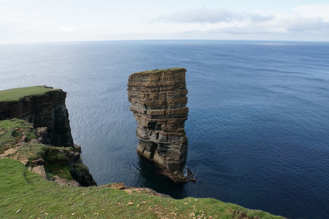
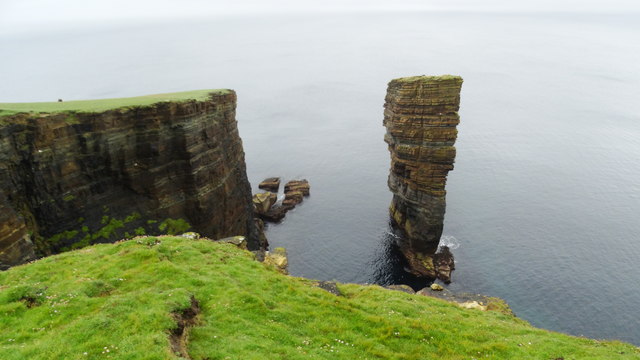
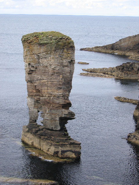
North Gaulton Castle
North Gaulton Castle is a sea stack off the western coast off the Orkney main island. It is formed from the red sandstone of the area and is about 165...

Oyster wave energy converter
The Oyster was a hydro-electric wave energy device that used the motion of ocean waves to generate electricity. It was made up of a Power Connector Frame...

Breckness House
Breckness House, sometimes known as Breckness Castle, is the site of the 17th century mansion, chapel and burial ground, built by George Graham (1565–1643...
Yesnaby
Yesnaby is an area in Sandwick, on the west coast of Orkney Mainland, Scotland, south of Skara Brae. It is renowned for its spectacular Old Red Sandstone...
Nearby Amenities
Located within 500m of 58.988356,-3.3546639Have you been to White Braes?
Leave your review of White Braes below (or comments, questions and feedback).