Low Moss

Downs, Moorland in Cumberland Allerdale

England

Low Moss

Force Crag Mine, Coledale At the head of Coledale is the Scheduled ancient Monument that is the Force Crag Mine processing plant. The mine variously mined silver, lead and barytes, closing in 1990 and passing into the care of the National Trust. In 2023 there were three open days at the processing plant but this wasn't one of them. The walk in is approximately 4 kilometres.
Force Crag Mine, Coledale Credit: Chris Allen

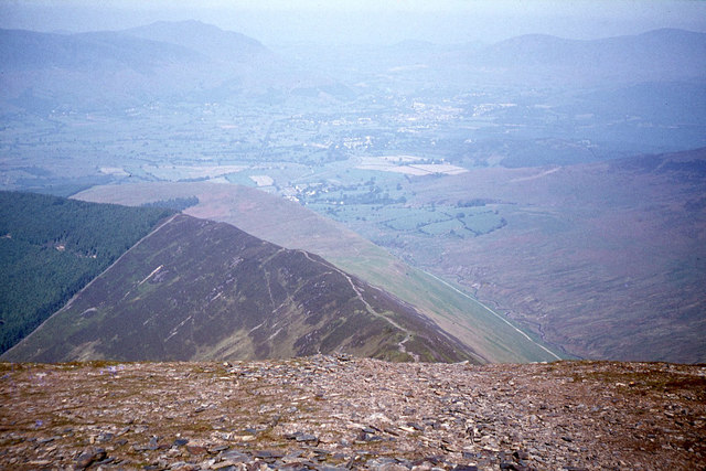
Low Moss is a region located in the county of Cumberland in northwest England. Situated amidst the beautiful landscape of downs and moorland, it offers stunning natural scenery and a tranquil environment. The area is renowned for its picturesque vistas, characterized by rolling hills, expansive meadows, and rugged moorland stretching as far as the eye can see.

The downs of Low Moss provide a rich grazing ground for livestock, with lush grasses and fertile soil supporting a thriving agricultural industry. Farmers in the area predominantly rear sheep, taking advantage of the vast open spaces and favorable climate. The moorland, on the other hand, is a haven for wildlife enthusiasts and nature lovers, offering a diverse range of flora and fauna. Visitors can witness a variety of bird species, including the iconic red grouse, as well as spot rare plants such as the vibrant purple heather that blankets the hillsides in late summer.

Low Moss is also home to a small but close-knit community, with scattered farmhouses and cottages dotting the landscape. Residents here enjoy a peaceful and close-to-nature lifestyle, while still being within easy reach of nearby towns and amenities. The region attracts hikers, cyclists, and outdoor enthusiasts, who relish the opportunity to explore the extensive network of trails and paths that crisscross the downs and moorland.

In conclusion, Low Moss, Cumberland is a captivating region that offers a remarkable combination of downs, moorland, and natural beauty. With its scenic landscapes, thriving agriculture, and abundance of wildlife, it is an idyllic destination for those seeking a peaceful retreat and a chance to connect with nature.

If you have any feedback on the listing, please let us know in the comments section below.
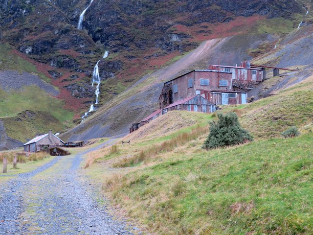
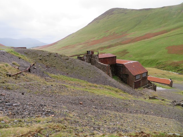
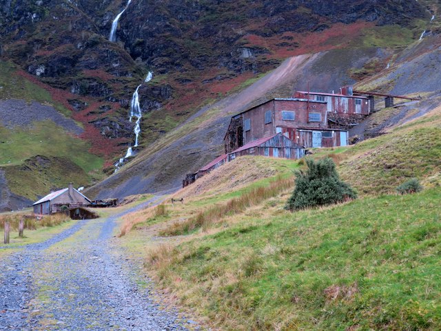
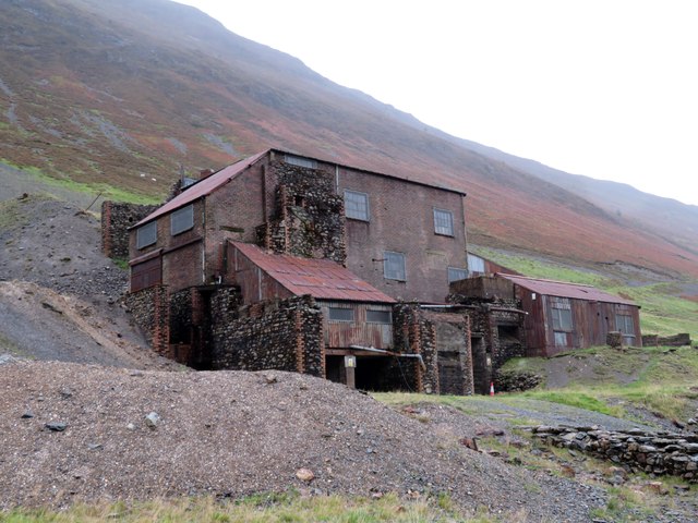
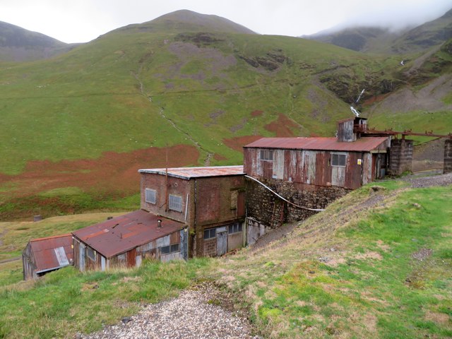
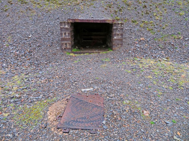
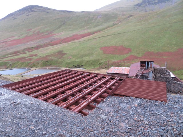
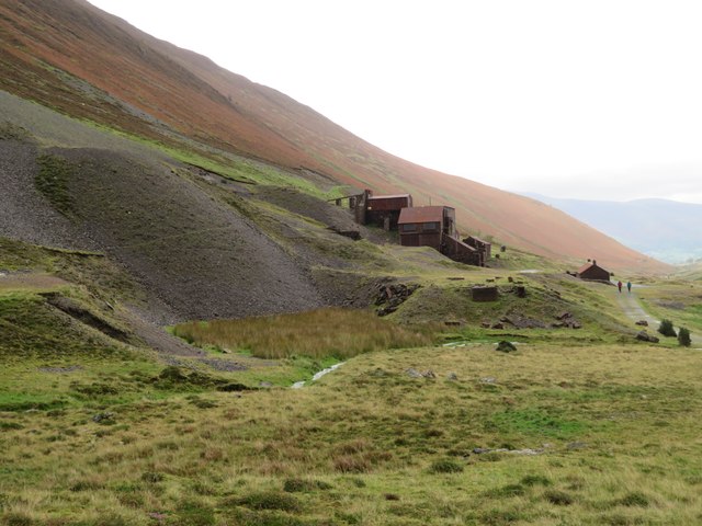
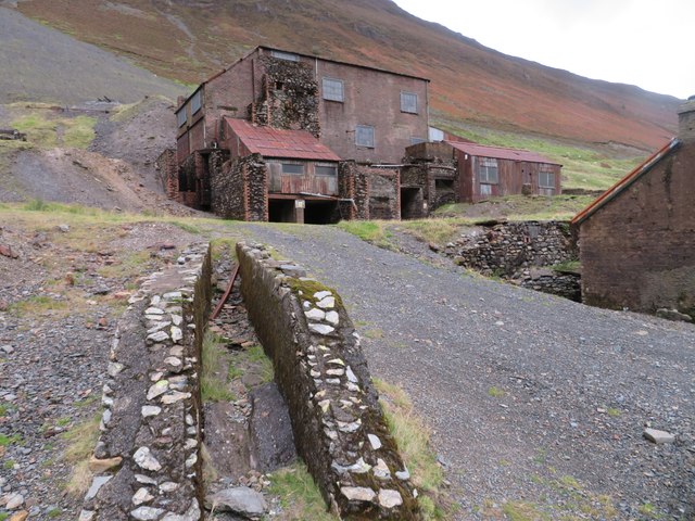
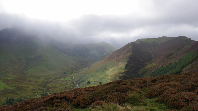
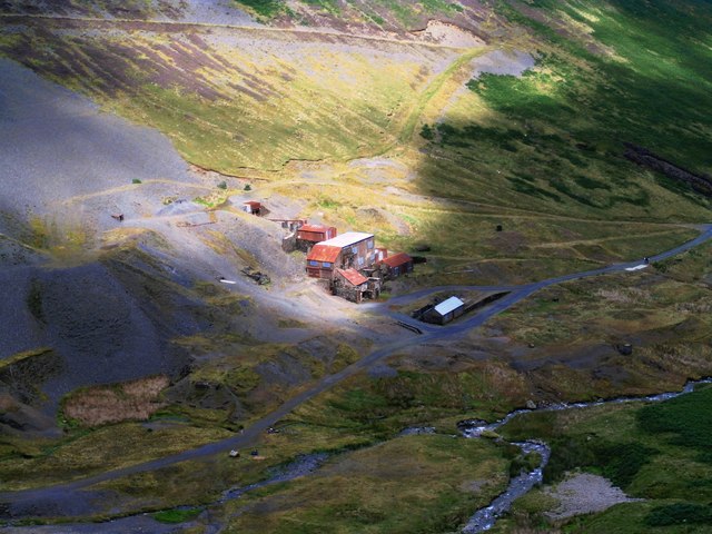
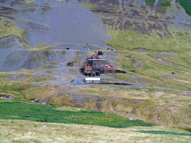
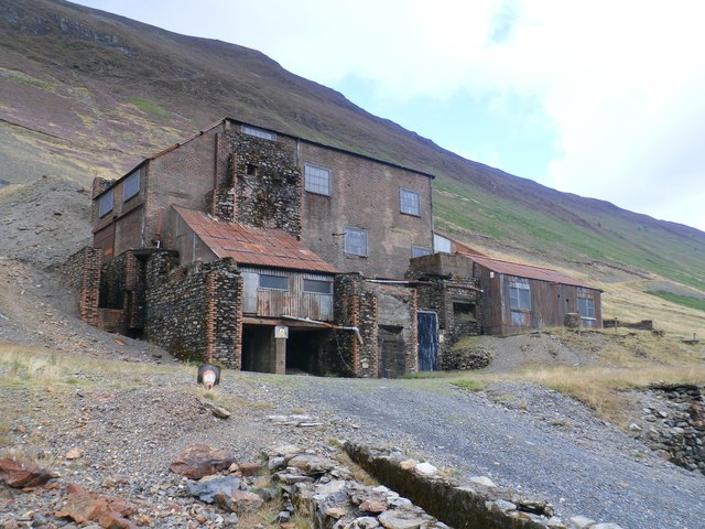
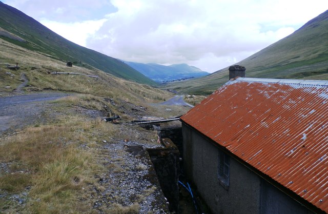
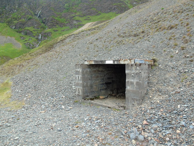
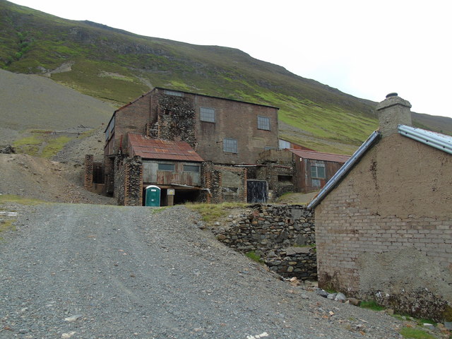
Low Moss Images

Images are sourced within 2km of 54.585799/-3.2125262 or Grid Reference NY2121. Thanks to Geograph Open Source API. All images are credited.

Force Crag Mine, Coledale At the head of Coledale is the Scheduled ancient Monument that is the Force Crag Mine processing plant. The mine variously mined silver, lead and barytes, closing in 1990 and passing into the care of the National Trust. In 2023 there were three open days at the processing plant but this wasn't one of them. The walk in is approximately 4 kilometres.
Force Crag Mine, Coledale
At the head of Coledale is the Scheduled ancient Monument that is the Force Crag Mine processing plant. The mine variously mined silver, lead and barytes, closing in 1990 and passing into the care of the National Trust. In 2023 there were three open days at the processing plant but this wasn't one of them. The walk in is approximately 4 kilometres.
Force Crag Mine, Coledale At the head of Coledale is the Scheduled Ancient Monument that is the Force Crag Mine processing plant. The mine variously mined silver, lead and barytes, closing in 1990 and passing into the care of the National Trust. In 2023 there were three open days at the processing plant but this wasn't one of them. The walk in is approximately 4 kilometres.
Force Crag Mine, Coledale
At the head of Coledale is the Scheduled Ancient Monument that is the Force Crag Mine processing plant. The mine variously mined silver, lead and barytes, closing in 1990 and passing into the care of the National Trust. In 2023 there were three open days at the processing plant but this wasn't one of them. The walk in is approximately 4 kilometres.
Force Crag Mine, Coledale - processing plant At the head of Coledale is the Scheduled Ancient Monument that is the Force Crag Mine processing plant. The mine variously mined silver, lead and barytes, closing in 1990 and passing into the care of the National Trust. In 2023 there were three open days at the processing plant but this wasn't one of them. The walk in is approximately 4 kilometres.
Force Crag Mine, Coledale - processing plant
At the head of Coledale is the Scheduled Ancient Monument that is the Force Crag Mine processing plant. The mine variously mined silver, lead and barytes, closing in 1990 and passing into the care of the National Trust. In 2023 there were three open days at the processing plant but this wasn't one of them. The walk in is approximately 4 kilometres.
Force Crag Mine, Coledale - Level 1 entrance At the head of Coledale is the Scheduled Ancient Monument that is the Force Crag Mine processing plant. The mine variously mined silver, lead and barytes, closing in 1990 and passing into the care of the National Trust. In 2023 there were three open days at the processing plant but this wasn't one of them. The walk in is approximately 4 kilometres.
This shows the entrance to Level 1 that is above the processing plant. This has a gate just inside the opening. The manhole in the foreground covers the drainage water that can be heard rushing forth below.
Force Crag Mine, Coledale - Level 1 entrance
At the head of Coledale is the Scheduled Ancient Monument that is the Force Crag Mine processing plant. The mine variously mined silver, lead and barytes, closing in 1990 and passing into the care of the National Trust. In 2023 there were three open days at the processing plant but this wasn't one of them. The walk in is approximately 4 kilometres. This shows the entrance to Level 1 that is above the processing plant. This has a gate just inside the opening. The manhole in the foreground covers the drainage water that can be heard rushing forth below.
Force Crag Mine, Coledale - grizzly At the head of Coledale is the Scheduled Ancient Monument that is the Force Crag Mine processing plant. The mine variously mined silver, lead and barytes, closing in 1990 and passing into the care of the National Trust. In 2023 there were three open days at the processing plant but this wasn't one of them. The walk in is approximately 4 kilometres.
This shows the very coarse sieve or grizzly where the ore is tipped out to be screened and then transported to the processing plant below.
Force Crag Mine, Coledale - grizzly
At the head of Coledale is the Scheduled Ancient Monument that is the Force Crag Mine processing plant. The mine variously mined silver, lead and barytes, closing in 1990 and passing into the care of the National Trust. In 2023 there were three open days at the processing plant but this wasn't one of them. The walk in is approximately 4 kilometres. This shows the very coarse sieve or grizzly where the ore is tipped out to be screened and then transported to the processing plant below.
Force Crag Mine, Coledale At the head of Coledale is the Scheduled Ancient Monument that is the Force Crag Mine processing plant. The mine variously mined silver, lead and barytes, closing in 1990 and passing into the care of the National Trust. In 2023 there were three open days at the processing plant but this wasn't one of them. The walk in is approximately 4 kilometres.
Force Crag Mine, Coledale
At the head of Coledale is the Scheduled Ancient Monument that is the Force Crag Mine processing plant. The mine variously mined silver, lead and barytes, closing in 1990 and passing into the care of the National Trust. In 2023 there were three open days at the processing plant but this wasn't one of them. The walk in is approximately 4 kilometres.
On Aikin Knott Hindscarth and Robinson are in cloud on the left, with Keskadale below. Knott Rigg is on the right.
On Aikin Knott
Hindscarth and Robinson are in cloud on the left, with Keskadale below. Knott Rigg is on the right.
Force Cragg Mine buildings The mine is up a long track west of Keswick.
Force Cragg Mine buildings
The mine is up a long track west of Keswick.
Force Crag Mine
Force Crag Mine
Force Crag Mine
Force Crag Mine
Force Crag Mine
Force Crag Mine
At Force Crag Mine
At Force Crag Mine
Entrance to Force Crag Mine One of the entrances into Force Crag Mine which closed in the 1990s dur to a shaft collapse. it is now owned by the National Trust.
Entrance to Force Crag Mine
One of the entrances into Force Crag Mine which closed in the 1990s dur to a shaft collapse. it is now owned by the National Trust.
Force Crag Mine Buildings The Buildings are open a few days a year by the National Trust for visitors to look inside.
Force Crag Mine Buildings
The Buildings are open a few days a year by the National Trust for visitors to look inside.
Descending from the top of Grisedale Pike
Show me another place!

Low Moss is located at Grid Ref: NY2121 (Lat: 54.585799, Lng: -3.2125262)

Administrative County: Cumbria

District: Allerdale

Police Authority: Cumbria

What 3 Words

///encrusted.mice.turntable. Near Keswick, Cumbria

Related Wikis

Outerside

Outerside is a fell in the Lake District in Cumbria, England. It is located 6 kilometres (4 miles) west of Keswick in the north western part of the national...

Barrow (Lake District)

Barrow is small fell in the English Lake District in the county of Cumbria which reaches a height of 455 metres (1,494 feet). It is in the Newlands Valley...

Rowling End

Rowling End is a peak in the Lake District about 433 meters it is a steep slope leading up towards Causey Pike. It is briefly mentioned in books however...

Causey Pike

Causey Pike is a fell in the English Lake District. It is situated in the Newlands Valley, 5 kilometres (3 miles) south-west of the town of Keswick. Even...

Nearby Amenities

Located within 500m of 54.585799,-3.2125262
Stile End
Ele: 447
Natural: peak
Lat/Long: 54.5862988/-3.207366
Low Moss
Place: locality
Lat/Long: 54.5856608/-3.2122388
Ford: yes
Lat/Long: 54.5885739/-3.2120569
The data included in this document is from www.openstreetmap.org. The data is made available under ODbL.

Have you been to Low Moss?

Leave your review of Low Moss below (or comments, questions and feedback).