Moss of the Whitestanes

Downs, Moorland in Orkney

Scotland

Moss of the Whitestanes

Rackwick Bay
Rackwick Bay Credit: Graeme Yuill

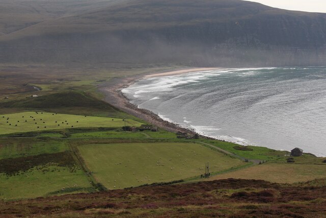
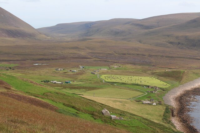
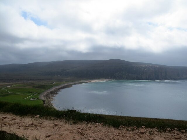
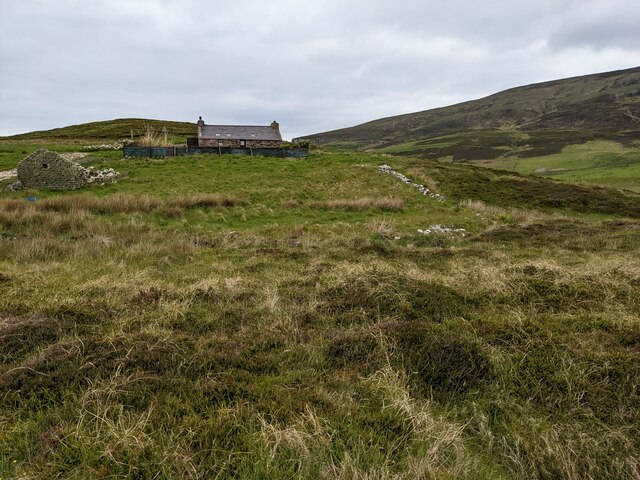
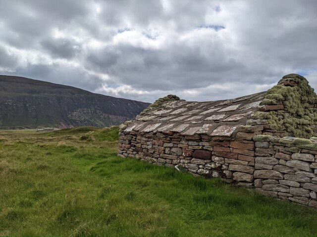
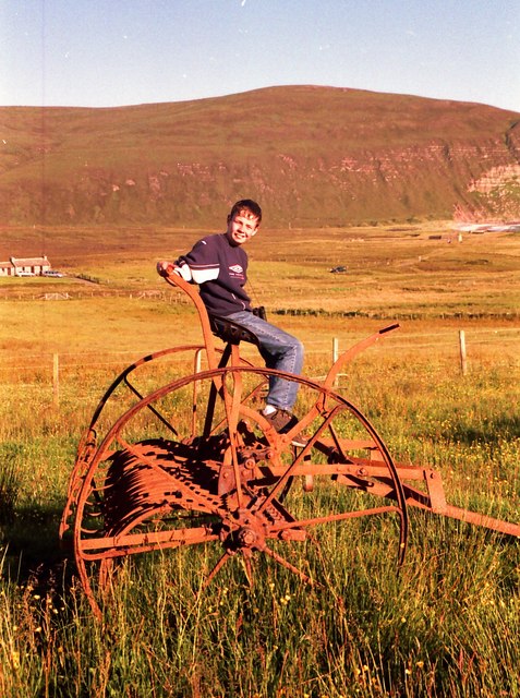
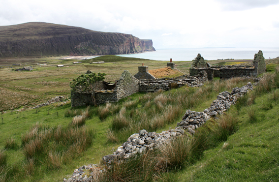
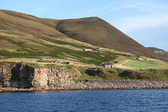
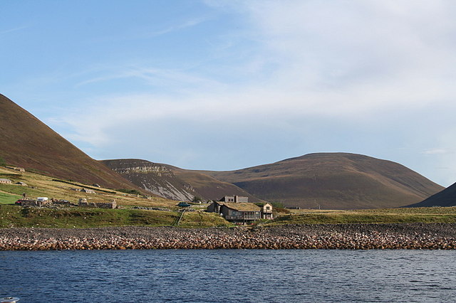
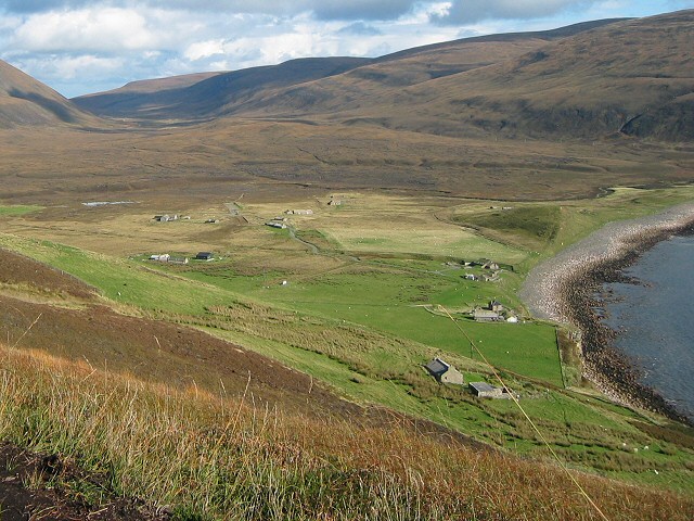
Moss of the Whitestanes is a picturesque natural landscape located in Orkney, an archipelago in northern Scotland. Situated on the Downs, the moss covers a vast expanse of moorland, offering a unique and serene environment.

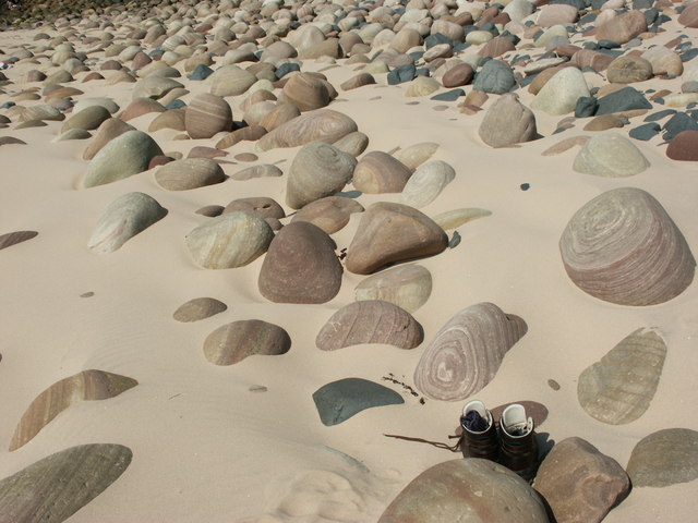
The moss itself is characterized by its white, spongy appearance, which is a result of the damp and acidic conditions prevalent in the area. It is home to a variety of plant species, including heather, lichens, and mosses, which add rich hues of purple and green to the landscape. The area is also dotted with small pools of water, reflecting the surrounding vegetation and adding to the overall beauty of the moss.

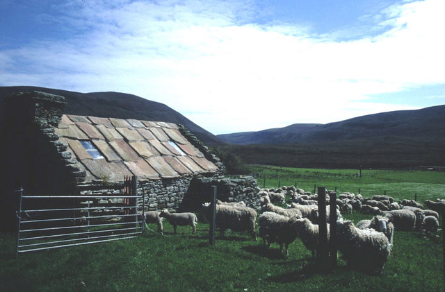
The Moss of the Whitestanes is a haven for wildlife, attracting many bird species that thrive in the open moorland. Visitors may spot birds such as lapwings, curlews, and meadow pipits, as well as the occasional hare or rabbit. The tranquility of the area makes it an ideal destination for birdwatching and nature enthusiasts.

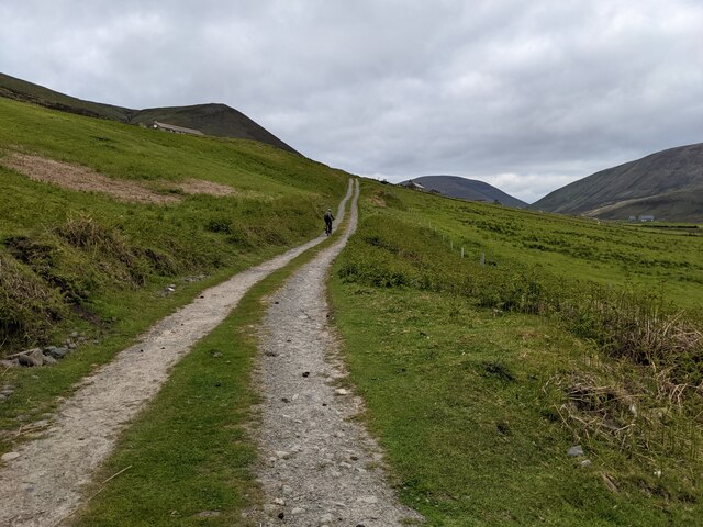
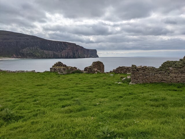
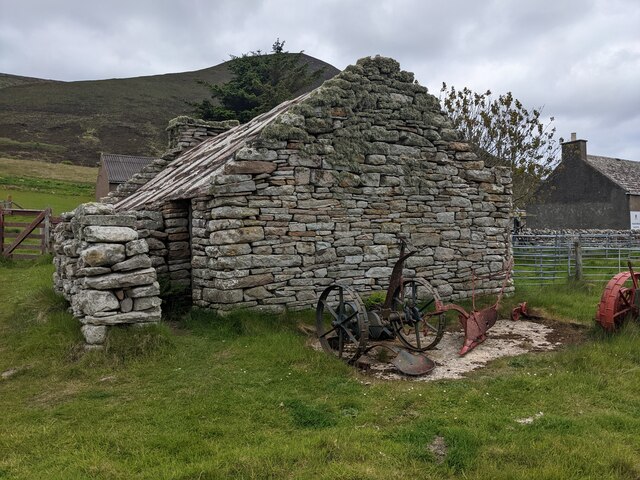
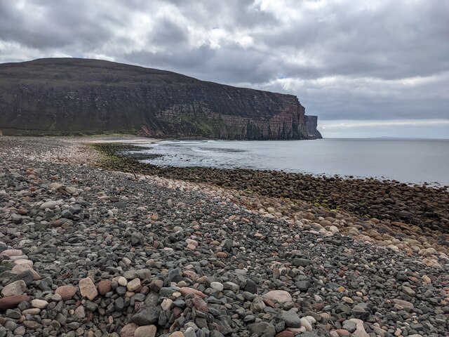
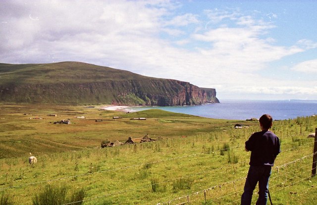
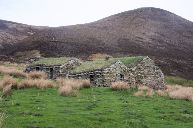
The moss is accessible via footpaths and offers breathtaking views of the surrounding rolling hills and distant sea. It is a perfect place for leisurely walks, picnics, or simply enjoying the peaceful atmosphere. The moss is also located near historical sites, such as ancient burial mounds and standing stones, adding to its cultural and archaeological significance.

Overall, Moss of the Whitestanes is a captivating natural feature in Orkney, offering visitors a chance to immerse themselves in the beauty of the moorland and experience the rich biodiversity of the area.

If you have any feedback on the listing, please let us know in the comments section below.

Moss of the Whitestanes Images

Images are sourced within 2km of 58.875337/-3.3643262 or Grid Reference ND2199. Thanks to Geograph Open Source API. All images are credited.

Rackwick Bay
Rackwick Bay
Rackwick
Rackwick
Rack Wick Bay from the path to the Old Man of Hoy
The track leading to the museum
Derelict buildings at Nose of the Yard
The folk museum, in the old school building
Eroding signs and rubbish bins at Rackwick
The beach at Rackwick Many years ago I found a cannon amongst the rocks, possibly from the Armada. It isn't there now and I could not find an online record of it.
The beach at Rackwick
Many years ago I found a cannon amongst the rocks, possibly from the Armada. It isn't there now and I could not find an online record of it.
A house at Greenhill
An old barn with a heavy roof at Greenhill
Rackwick Folk Museum An interesting little display provided in an old cottage by the farmer.
Rackwick Folk Museum
An interesting little display provided in an old cottage by the farmer.
Looking southwards from the slopes of Moor Fea Rack Wick bay can be seen in the distance
Looking southwards from the slopes of Moor Fea
Rack Wick bay can be seen in the distance
A hay rake near the museum of Rack  Wick
A hay rake near the museum of Rack Wick
North House, Rackwick Former croft with a turf roofed house
North House, Rackwick
Former croft with a turf roofed house
Coastal dwellings of Rackwick
Bouldered beach of Rackwick
Boulders at Rackwick, Hoy Rackwick is a magical place. Even the sandstone boulders on the beach erode into works of art.
Boulders at Rackwick, Hoy
Rackwick is a magical place. Even the sandstone boulders on the beach erode into works of art.
Crow's Nest Museum, Rackwick This traditional Croft House and Steading, dating from the early 18th Century, are the oldest remaining buildings in Rackwick.  The house has two box beds, a dresser, and open fireplace and a hook for pots and laundry area. The steading includes a barn with a kiln used for drying oats and a byre. See <a href="https://www.geograph.org.uk/photo/1388833">ND1999 : Crow's Nest Museum interior</a> for interior view.
Crow's Nest Museum, Rackwick
This traditional Croft House and Steading, dating from the early 18th Century, are the oldest remaining buildings in Rackwick. The house has two box beds, a dresser, and open fireplace and a hook for pots and laundry area. The steading includes a barn with a kiln used for drying oats and a byre. See ND1999 : Crow's Nest Museum interior for interior view.
Show me another place!

Moss of the Whitestanes is located at Grid Ref: ND2199 (Lat: 58.875337, Lng: -3.3643262)

Unitary Authority: Orkney Islands

Police Authority: Highlands and Islands

What 3 Words

///deeds.barrel.toys. Near Lyness, Orkney Islands

Nearby Locations

Moss of the Whitestanes

Related Wikis

Rackwick

Rackwick is a small coastal crofting township in the north west of the island of Hoy in Orkney, Scotland. As well as a handful of tourist amenities the...

Ward Hill, Hoy

Ward Hill is a hill on the island of Hoy in Orkney, Scotland. It lies at the north of the island between Moaness and Rackwick, and is the highest point...

Dwarfie Stane

The Dwarfie Stane is a megalithic chambered tomb carved out of a titanic block of Devonian Old Red Sandstone located in a steep-sided glaciated valley...

Old Man of Hoy

The Old Man of Hoy is a 449-foot (137-metre) sea stack on Hoy, part of the Orkney archipelago off the north coast of Scotland. Formed from Old Red Sandstone...

Nearby Amenities

Located within 500m of 58.875337,-3.3643262
Power: pole
Lat/Long: 58.8749093/-3.3556768
Power: pole
Lat/Long: 58.8749897/-3.3567631
Power: pole
Lat/Long: 58.8750563/-3.3577904
Power: pole
Lat/Long: 58.8751214/-3.3588284
Power: pole
Lat/Long: 58.8752157/-3.3601213
Power: pole
Lat/Long: 58.8748691/-3.3606228
Power: pole
Lat/Long: 58.8745003/-3.3611539
Power: pole
Lat/Long: 58.8740691/-3.3617923
Power: pole
Lat/Long: 58.8736074/-3.3624762
Power: pole
Lat/Long: 58.8730611/-3.3632916
Power: pole
Lat/Long: 58.8726285/-3.3638871
Power: pole
Lat/Long: 58.8722209/-3.3644933
Power: pole
Lat/Long: 58.8717383/-3.3652335
Power: pole
Lat/Long: 58.8712225/-3.3659738
The data included in this document is from www.openstreetmap.org. The data is made available under ODbL.

Have you been to Moss of the Whitestanes?

Leave your review of Moss of the Whitestanes below (or comments, questions and feedback).