The Lawn

Downs, Moorland in Devon East Devon

England

The Lawn

Shops on School Street in Sidford
Shops on School Street in Sidford Credit: Steve Daniels

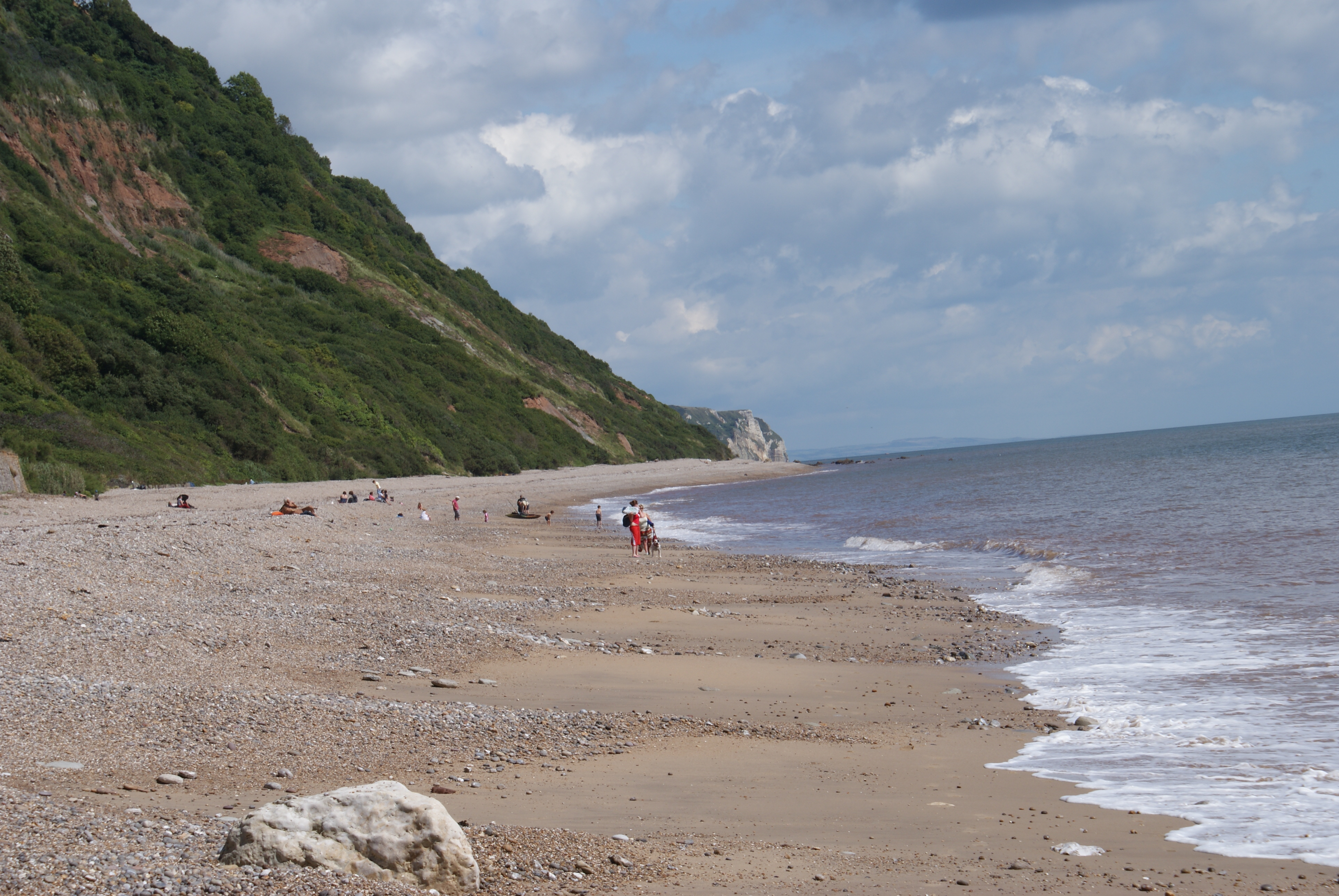
The Lawn, situated in the county of Devon, is a prominent natural landscape that encompasses a diverse range of terrains, including downs, moorland, and sprawling lawns. Spanning an area of approximately several hundred acres, this picturesque region is renowned for its stunning beauty and unique geographical features.

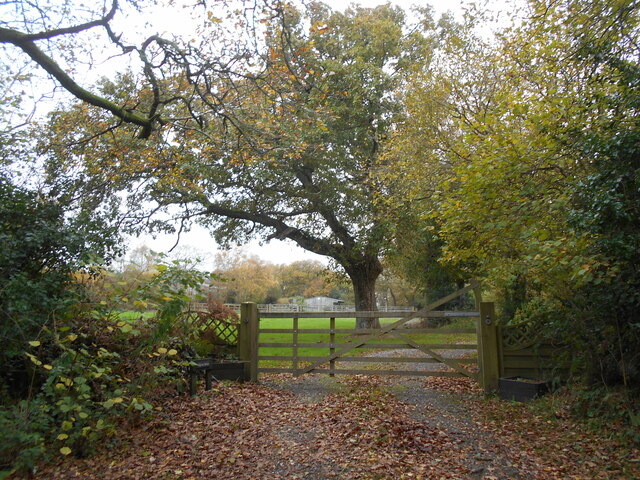
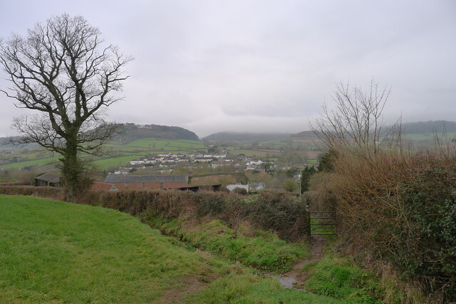
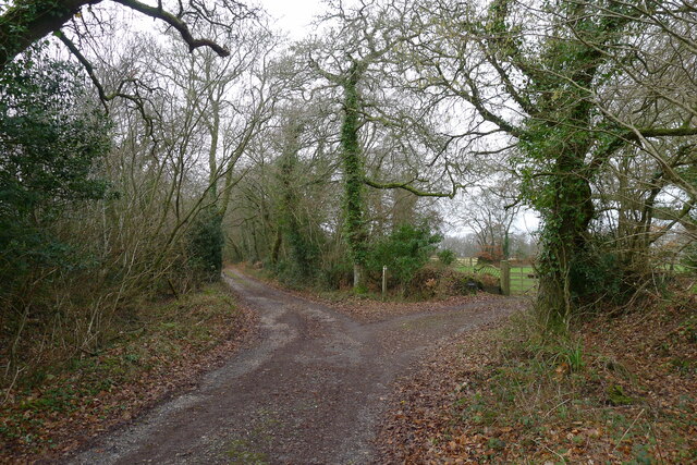
The Downs, one of the key components of The Lawn, comprises vast grassy slopes and rolling hills. These scenic expanses are adorned with an assortment of vibrant wildflowers and provide breathtaking panoramic views of the surrounding countryside. The Downs also serve as a prime location for various outdoor activities such as hiking, picnicking, and kite flying.

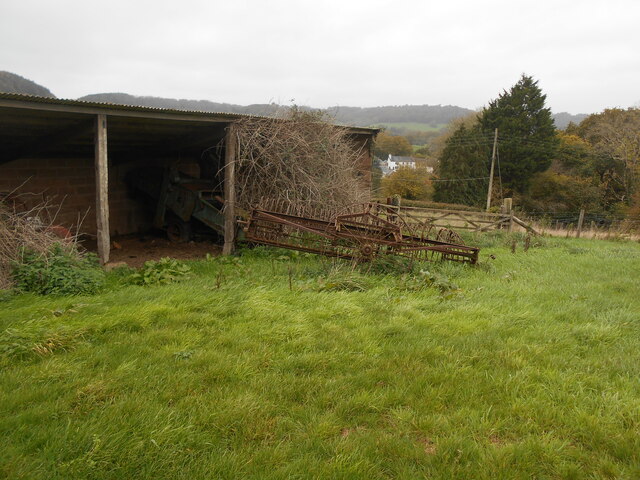
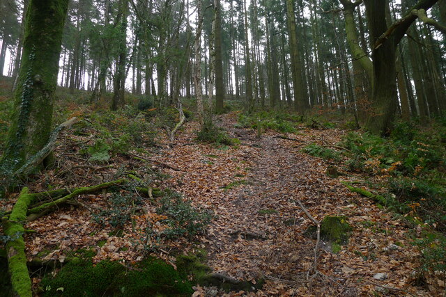
Adjacent to the Downs lies the Moorland, characterized by its rugged terrain and abundant wildlife. This isolated and untamed landscape offers a glimpse into the region's rich natural heritage. Visitors to The Lawn can witness heather-covered hills, deep valleys, and crystal-clear streams, creating an idyllic setting for nature enthusiasts and photographers alike.

The Lawn's extensive lawns, characterized by their well-manicured grass and carefully maintained flowerbeds, present a more cultivated aspect of the landscape. These lawns offer a tranquil environment for leisurely walks, family gatherings, and recreational activities. With their colorful array of blossoming plants and neatly trimmed hedges, the lawns provide a peaceful and visually appealing experience.

Overall, The Lawn in Devon showcases the diverse and captivating beauty of the region's natural surroundings. Whether exploring the wild moorlands, admiring the picturesque downs, or enjoying the well-kept lawns, visitors can immerse themselves in the serene and enchanting landscape that The Lawn has to offer.

If you have any feedback on the listing, please let us know in the comments section below.
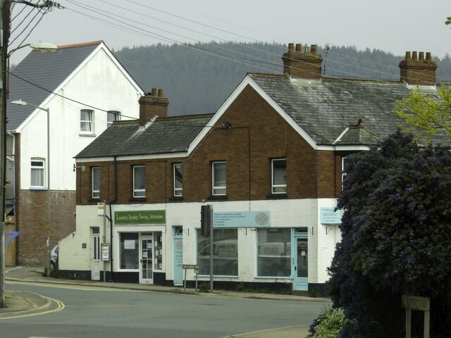
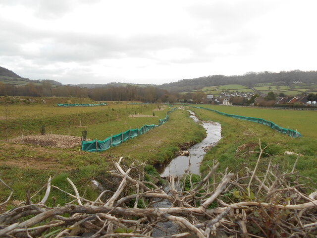
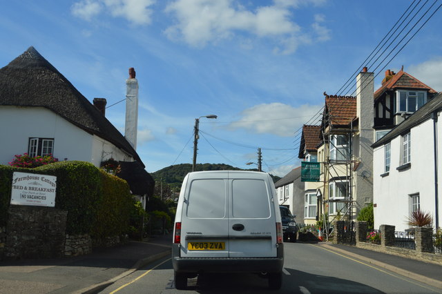
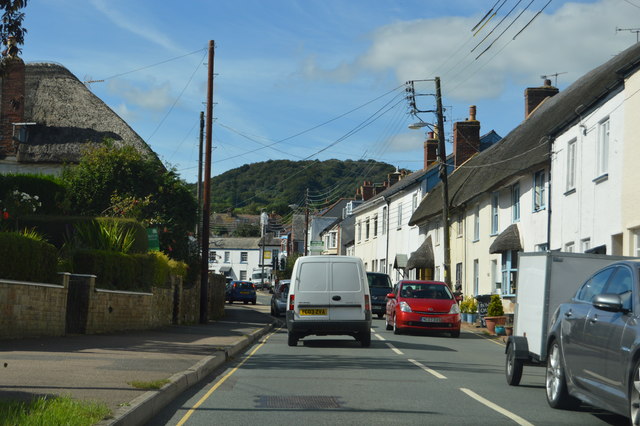
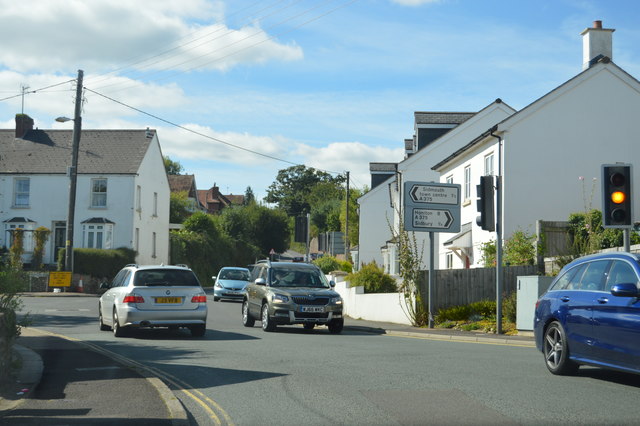
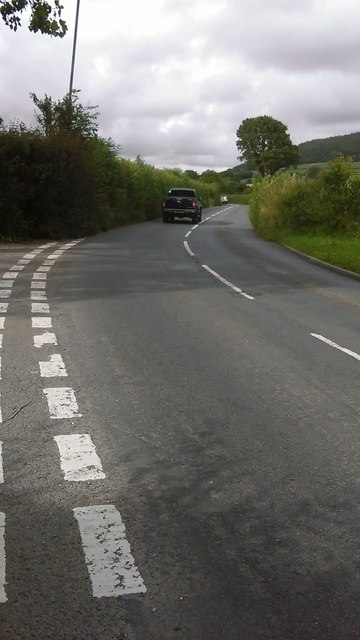
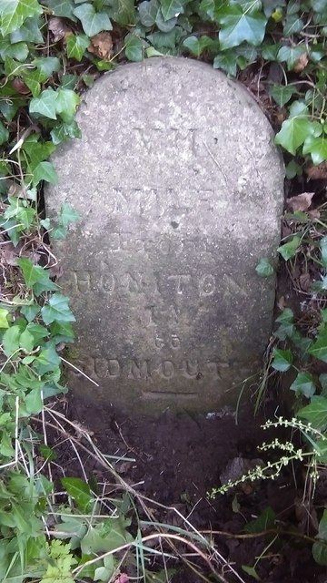
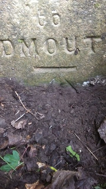
The Lawn Images

Images are sourced within 2km of 50.703098/-3.2032894 or Grid Reference SY1589. Thanks to Geograph Open Source API. All images are credited.

Shops on School Street in Sidford
The Snodbrook at Sidford Running into the River Sid.
The brook crosses what is shortly to become an industrial estate.
The Snodbrook at Sidford
Running into the River Sid. The brook crosses what is shortly to become an industrial estate.
Sidford laundry Now derelict and closed down awaiting redevelopment.
this building was at one time used to dry sails from the local sailing club.
Sidford laundry
Now derelict and closed down awaiting redevelopment. this building was at one time used to dry sails from the local sailing club.
Oakdown Touring Park Oakdown Touring Park. Taken outside the Shepherd's Huts.
Oakdown Touring Park
Oakdown Touring Park. Taken outside the Shepherd's Huts.
Old and rusty An ancient piece of farm machinery lies next to buildings belonging to Long Barn Farm.
Old and rusty
An ancient piece of farm machinery lies next to buildings belonging to Long Barn Farm.
Entrance to Hatway Stables An isolated block of stables at the top of Buckton  Hill.
Entrance to Hatway Stables
An isolated block of stables at the top of Buckton Hill.
10 Months on Rather than as many locals suspected, the old laundry building appears to be taking on a new lease of life.
10 Months on
Rather than as many locals suspected, the old laundry building appears to be taking on a new lease of life.
The East Devon Way approaching Sidbury from the east A 40 mile route that starts at Exmouth and follows the estuary of the River Exe to Lympstone and then turns east over the commons and rolling hills of the East Devon AONB via Harpford, Sidbury, Farway and Colyton to Lyme Regis. It covers a wide variety of landscapes; estuary, high open commons, woodlands and quiet river valleys. Walking is generally not difficult but the route does include some quite sharp climbs.
The East Devon Way approaching Sidbury from the east
A 40 mile route that starts at Exmouth and follows the estuary of the River Exe to Lympstone and then turns east over the commons and rolling hills of the East Devon AONB via Harpford, Sidbury, Farway and Colyton to Lyme Regis. It covers a wide variety of landscapes; estuary, high open commons, woodlands and quiet river valleys. Walking is generally not difficult but the route does include some quite sharp climbs.
A steep climb through Buckley Plantation The East Devon Way on another Greensand escarpment
A steep climb through Buckley Plantation
The East Devon Way on another Greensand escarpment
The East Devon Way on Green Way Passing the entrance to Hatway Stables
The East Devon Way on Green Way
Passing the entrance to Hatway Stables
The Rising Sun inn, Sidford The inn is at the crossroads in the centre of the village
The Rising Sun inn, Sidford
The inn is at the crossroads in the centre of the village
A3052 The A3052 Road runs 27 miles from Charnmouth to Clyst St Mary. It runs parallel to the East Devon coastline, but inland.
<span class="nowrap"><a title="http://www.sabre-roads.org.uk/wiki/index.php?title=A3052" rel="nofollow ugc noopener" href="http://www.sabre-roads.org.uk/wiki/index.php?title=A3052">Link</a><img style="margin-left:2px;" alt="External link" title="External link - shift click to open in new window" src="https://s1.geograph.org.uk/img/external.png" width="10" height="10"/></span>
A3052
The A3052 Road runs 27 miles from Charnmouth to Clyst St Mary. It runs parallel to the East Devon coastline, but inland. LinkExternal link
A3052, Sidford The A3052 Road runs 27 miles from Charnmouth to Clyst St Mary. It runs parallel to the East Devon coastline, but inland.
<span class="nowrap"><a title="http://www.sabre-roads.org.uk/wiki/index.php?title=A3052" rel="nofollow ugc noopener" href="http://www.sabre-roads.org.uk/wiki/index.php?title=A3052">Link</a><img style="margin-left:2px;" alt="External link" title="External link - shift click to open in new window" src="https://s1.geograph.org.uk/img/external.png" width="10" height="10"/></span>
A3052, Sidford
The A3052 Road runs 27 miles from Charnmouth to Clyst St Mary. It runs parallel to the East Devon coastline, but inland. LinkExternal link
Church St, Sidford The A3052 Road runs 27 miles from Charnmouth to Clyst St Mary. It runs parallel to the East Devon coastline, but inland.
<span class="nowrap"><a title="http://www.sabre-roads.org.uk/wiki/index.php?title=A3052" rel="nofollow ugc noopener" href="http://www.sabre-roads.org.uk/wiki/index.php?title=A3052">Link</a><img style="margin-left:2px;" alt="External link" title="External link - shift click to open in new window" src="https://s1.geograph.org.uk/img/external.png" width="10" height="10"/></span>
Church St, Sidford
The A3052 Road runs 27 miles from Charnmouth to Clyst St Mary. It runs parallel to the East Devon coastline, but inland. LinkExternal link
Sidford The A3052 Road runs 27 miles from Charnmouth to Clyst St Mary. It runs parallel to the East Devon coastline, but inland.
<span class="nowrap"><a title="http://www.sabre-roads.org.uk/wiki/index.php?title=A3052" rel="nofollow ugc noopener" href="http://www.sabre-roads.org.uk/wiki/index.php?title=A3052">Link</a><img style="margin-left:2px;" alt="External link" title="External link - shift click to open in new window" src="https://s1.geograph.org.uk/img/external.png" width="10" height="10"/></span>
Sidford
The A3052 Road runs 27 miles from Charnmouth to Clyst St Mary. It runs parallel to the East Devon coastline, but inland. LinkExternal link
Two Bridges Road to Sidbury Just north of Sidford, the main road heads up to Sidbury, whilst the minor road to the left goes up into the hills around <a href="https://www.geograph.org.uk/photo/204991">SY1291 : Sidbury Castle</a> and then in the general direction of Wiggaton.
Two Bridges Road to Sidbury
Just north of Sidford, the main road heads up to Sidbury, whilst the minor road to the left goes up into the hills around SY1291 : Sidbury Castle and then in the general direction of Wiggaton.
Sidford milestone Buried deep in the hedge immediately south of the junction, this milestone needed a little excavation before being photographable. It does not appear to be recorded by the Milestone Society, and due to its position in the hedgebank, the lettering is hard to make out for sure, but my best guess is "VII (ie 7th) mile from Honiton to Sidmouth". There is a later OS benchmark at the bottom of the inscription.
Sidford milestone
Buried deep in the hedge immediately south of the junction, this milestone needed a little excavation before being photographable. It does not appear to be recorded by the Milestone Society, and due to its position in the hedgebank, the lettering is hard to make out for sure, but my best guess is "VII (ie 7th) mile from Honiton to Sidmouth". There is a later OS benchmark at the bottom of the inscription.
OS benchmark - Sidford, Two Bridges milestone An OS cutmark on the well-hidden milestone beside the A375 just north of Sidford. It was levelled in 1967 at 46.643m above Ordnance Datum Newlyn.
OS benchmark - Sidford, Two Bridges milestone
An OS cutmark on the well-hidden milestone beside the A375 just north of Sidford. It was levelled in 1967 at 46.643m above Ordnance Datum Newlyn.
Show me another place!

The Lawn is located at Grid Ref: SY1589 (Lat: 50.703098, Lng: -3.2032894)

Administrative County: Devon

District: East Devon

Police Authority: Devon and Cornwall

What 3 Words

///fewest.healers.bookcases. Near Sidmouth, Devon

Related Wikis

Salcombe Regis

Salcombe Regis is a coastal village and former civil parish, now in the parish of Sidmouth, in the East Devon district, in the county of Devon, England...

The Donkey Sanctuary

The Donkey Sanctuary is a British charitable organisation devoted to the welfare of donkeys. The charity, which is based near Sidmouth in Devon, England...

Sidford

Sidford is a small village in the civil parish of and on the outskirts of the town of Sidmouth in the English county of Devon. It has a population of just...
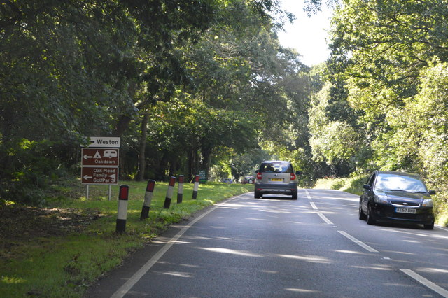
Weston, Devon

Weston is a small hamlet near Sidmouth in East Devon, England. It is near the Donkey Sanctuary and less than a mile from the beach at Branscombe; footpaths...

Norman Lockyer Observatory

The Norman Lockyer Observatory, the Lockyer Technology Centre, and the Planetarium (jointly NLO), is a public access optical observatory 1 mile (1.6 km...

Sidmouth College

Sidmouth College is a coeducational secondary school and sixth form, located in Sidmouth in the English county of Devon. The school attracts pupils from...

Sidbury

Sidbury is a large village and former civil parish north of Sidmouth, now in the parish of Sidmouth, in the East Devon district, in the county of Devon...

Weston Mouth

Weston Mouth is an isolated beach on the East Devon coast between Sidmouth and Seaton in England. It can be reached only by footpath, either along the...

Nearby Amenities

Located within 500m of 50.703098,-3.2032894
Barrier: stile
Lat/Long: 50.7010127/-3.2033161
Barrier: cattle_grid
Lat/Long: 50.7036431/-3.2070074
Barrier: cattle_grid
Lat/Long: 50.7045842/-3.2029132
Barrier: stile
Lat/Long: 50.703246/-3.201221
Barrier: stile
Lat/Long: 50.7015283/-3.2025678
Barrier: stile
Lat/Long: 50.7011339/-3.200938
Golf: pin
Lat/Long: 50.6987687/-3.203847
Golf: pin
Lat/Long: 50.6991462/-3.2061125
Power: pole
Source: bing
Lat/Long: 50.7056713/-3.2007282
Power: pole
Source: bing
Lat/Long: 50.7052539/-3.2011273
Power: pole
Source: bing
Lat/Long: 50.7063958/-3.2000507
Power: pole
Source: bing
Lat/Long: 50.7053023/-3.2027071
Power: pole
Source: bing
Lat/Long: 50.7049285/-3.2046921
Power: pole
Source: bing
Lat/Long: 50.7049449/-3.2061404
Power: pole
Source: bing
Lat/Long: 50.7049604/-3.2075672
Power: pole
Source: bing
Lat/Long: 50.7049846/-3.2092632
The data included in this document is from www.openstreetmap.org. The data is made available under ODbL.

Have you been to The Lawn?

Leave your review of The Lawn below (or comments, questions and feedback).