Tongue

Downs, Moorland in Lanarkshire

Scotland

Tongue

Camps Reservoir from the air In the South Lanarkshire hills north of Moffat. The wind turbines are two of thirteen around Whitehill Hope.
Camps Reservoir from the air Credit: M J Richardson

Tongue is a village located in the county of Lanarkshire, Scotland. Situated in the northern part of the county, it is surrounded by picturesque landscapes of downs and moorland. The village itself is small and quaint, with a population of approximately 400 residents.

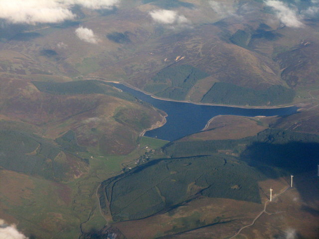
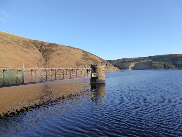
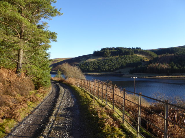
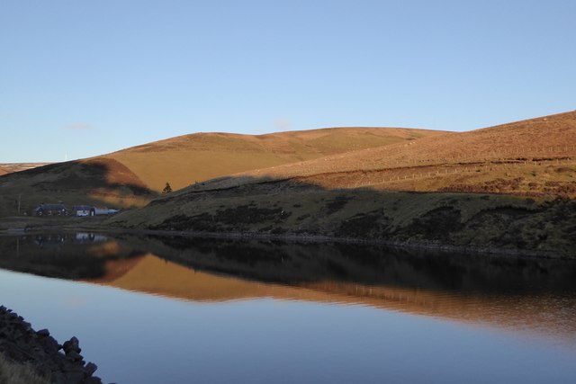
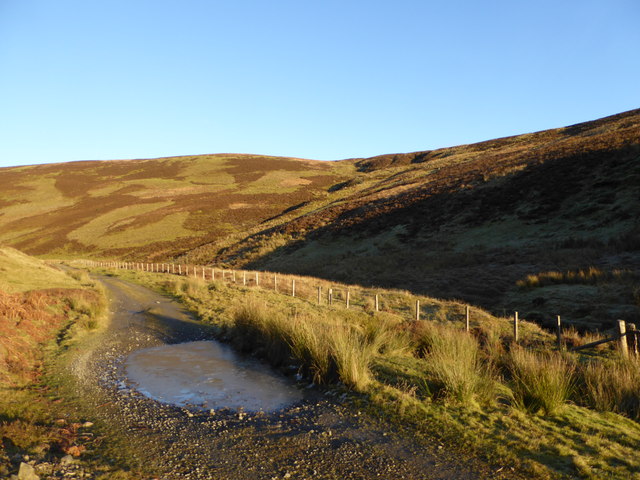
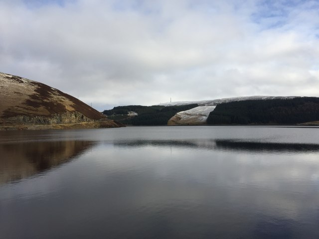
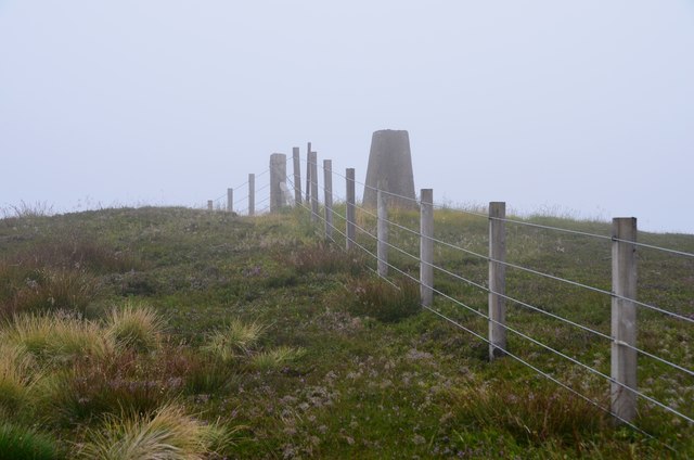
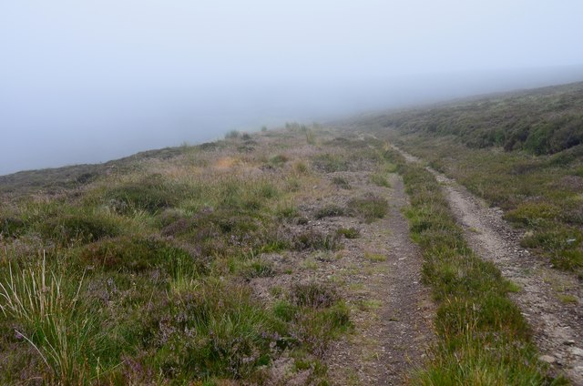
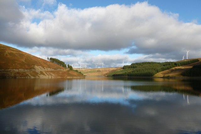
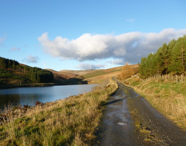
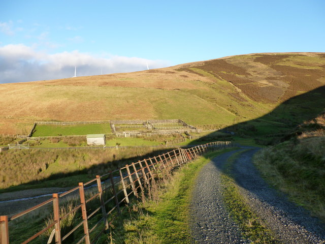
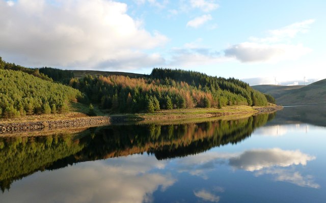
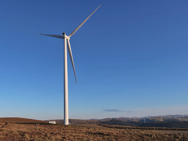
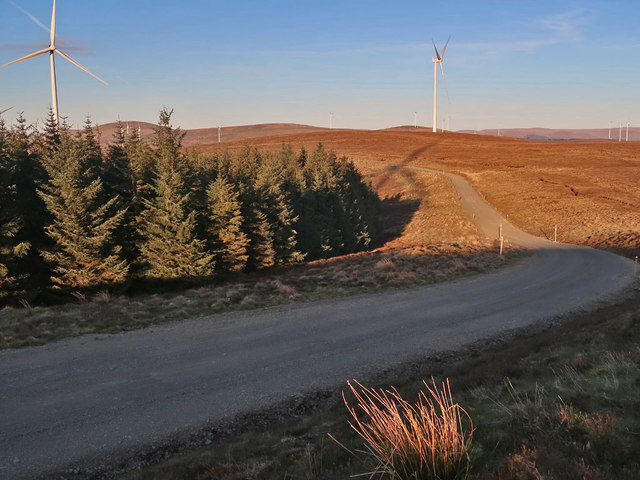
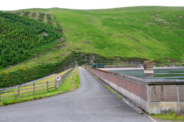
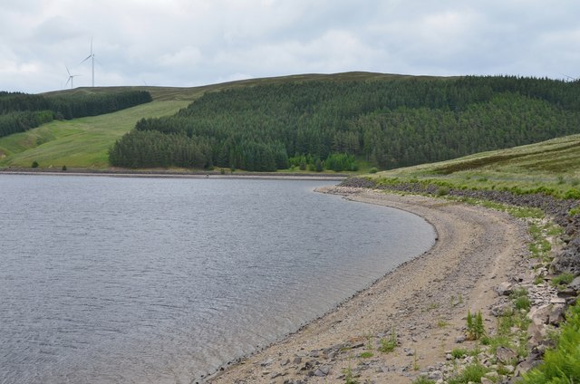
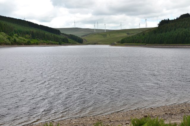
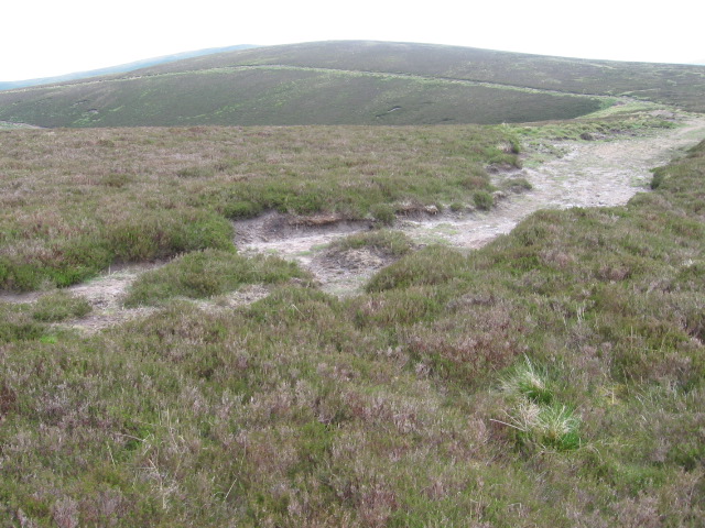
Tongue is known for its stunning natural beauty, with rolling hills and expansive moorlands dominating the scenery. The downs provide a backdrop of lush greenery, while the moorland offers vast open spaces for outdoor activities such as hiking and birdwatching. The area is also rich in wildlife, with various species of birds, mammals, and plant life calling it home.

The village of Tongue has a long history, with evidence of human habitation dating back to prehistoric times. The area was once home to ancient settlements and has seen the passage of various cultures throughout the centuries. Today, remnants of its past can be seen in the form of historical sites and landmarks, including ancient burial mounds and standing stones.

Although Tongue is a small village, it offers a range of amenities for its residents and visitors. There are a few local shops and businesses catering to everyday needs, as well as a primary school serving the local community. For more extensive facilities, residents often travel to nearby towns.

Tongue, Lanarkshire, is a hidden gem for nature lovers and those seeking tranquility amidst breathtaking scenery. With its downs and moorlands, rich history, and peaceful atmosphere, it is a place that offers a unique and captivating experience for all who visit.

If you have any feedback on the listing, please let us know in the comments section below.

Tongue Images

Images are sourced within 2km of 55.500201/-3.5883558 or Grid Reference NS9924. Thanks to Geograph Open Source API. All images are credited.

Camps Reservoir from the air In the South Lanarkshire hills north of Moffat. The wind turbines are two of thirteen around Whitehill Hope.
Camps Reservoir from the air
In the South Lanarkshire hills north of Moffat. The wind turbines are two of thirteen around Whitehill Hope.
Camps Reservoir Looking across the intake tower towards the corner of Craig Hill.
Camps Reservoir
Looking across the intake tower towards the corner of Craig Hill.
Track around Camps Reservoir A rare view around these parts in which no wind turbines are visible.  The track here passes beneath Fall Cleuch Wood.
Track around Camps Reservoir
A rare view around these parts in which no wind turbines are visible. The track here passes beneath Fall Cleuch Wood.
Northern end of Camps Reservoir The farm buildings at Grains are visible with Backwater Rig rising behind them.

A half-built part of one of the many wind turbines being erected on the hillsides around here as part of the Clyde Wind Farm extension is just visible on the distant hillside directly in line with the farm buildings.
Northern end of Camps Reservoir
The farm buildings at Grains are visible with Backwater Rig rising behind them. A half-built part of one of the many wind turbines being erected on the hillsides around here as part of the Clyde Wind Farm extension is just visible on the distant hillside directly in line with the farm buildings.
Track by the Grains Burn A view on a frosty afternoon in early December, close to where the small watercourse of Fore Sike drains into the burn from the hillside on the right.
Track by the Grains Burn
A view on a frosty afternoon in early December, close to where the small watercourse of Fore Sike drains into the burn from the hillside on the right.
Camps Reservoir Camps Reservoir: Built by German prisoners of war during the first world war and during construction was serviced by a railway that ran from the mainline at Crawford.
Camps Reservoir
Camps Reservoir: Built by German prisoners of war during the first world war and during construction was serviced by a railway that ran from the mainline at Crawford.
Summit trig point, Whitelaw Brae The 577m top on the ridge from Hardrig Head.
Summit trig point, Whitelaw Brae
The 577m top on the ridge from Hardrig Head.
Track above Duncan Gill The track zigzags down Duncan Gill to Cowgill Upper Reservoir, though becomes heavily overgrown with heather lower down.
Track above Duncan Gill
The track zigzags down Duncan Gill to Cowgill Upper Reservoir, though becomes heavily overgrown with heather lower down.
Camps Reservoir Some of the turbines of the ever-expanding Clyde Windfarm are visible on the surrounding hillsides.
Camps Reservoir
Some of the turbines of the ever-expanding Clyde Windfarm are visible on the surrounding hillsides.
Northern end of the Camps Reservoir
Bend in the track at Martin Cleuch Looking towards the sheep pens at the foot of Whitelaw Rig.
Bend in the track at Martin Cleuch
Looking towards the sheep pens at the foot of Whitelaw Rig.
Camps Knowe Wood reflected in Camps Reservoir On a calm day, the tree-covered hillside on the opposite shore of the reservoir is reflected perfectly.
Camps Knowe Wood reflected in Camps Reservoir
On a calm day, the tree-covered hillside on the opposite shore of the reservoir is reflected perfectly.
Clyde Wind Farm Turbine The evening sun helps to show the turbines on the surrounding hills
Clyde Wind Farm Turbine
The evening sun helps to show the turbines on the surrounding hills
Wind Farm track and trees The track links two areas of the Clyde Wind Farm
Wind Farm track and trees
The track links two areas of the Clyde Wind Farm
Camps Reservoir dam The earth embankment dam supports a reservoir area of 79ha opened in 1930 as a water supply for Lanarkshire. German prisoners of war in WWI were employed in the construction, housed in a camp to the west - see <span class="nowrap"><a title="https://canmore.org.uk/site/332959/camps-reservoir-prisoner-of-war-camp" rel="nofollow ugc noopener" href="https://canmore.org.uk/site/332959/camps-reservoir-prisoner-of-war-camp">Link</a><img style="margin-left:2px;" alt="External link" title="External link - shift click to open in new window" src="https://s1.geograph.org.uk/img/external.png" width="10" height="10"/></span>.
Camps Reservoir dam
The earth embankment dam supports a reservoir area of 79ha opened in 1930 as a water supply for Lanarkshire. German prisoners of war in WWI were employed in the construction, housed in a camp to the west - see LinkExternal link.
South shore of Camps Reservoir A water supply reservoir now operated by Scottish Water. Some of the Clyde Wind Farm turbines are in view.
South shore of Camps Reservoir
A water supply reservoir now operated by Scottish Water. Some of the Clyde Wind Farm turbines are in view.
Northern arm of Camps Reservoir The reservoir splits into northern and eastern arms here, with more turbines of the Clyde Wind Farm in view.
Northern arm of Camps Reservoir
The reservoir splits into northern and eastern arms here, with more turbines of the Clyde Wind Farm in view.
Path near Whitelaw Brae across the head of Duncan Gill
Show me another place!

Tongue is located at Grid Ref: NS9924 (Lat: 55.500201, Lng: -3.5883558)

Unitary Authority: South Lanarkshire

Police Authority: Lanarkshire

What 3 Words

///wicket.hazelnuts.unsettled. Near Biggar, South Lanarkshire

Nearby Locations

Tongue

Related Wikis

Crawford Castle

Crawford Castle, substantially in ruins, is located on the north bank of the River Clyde, around 1⁄2 mile (800 metres) north of Crawford, South Lanarkshire...

Crawford railway station (Scotland)

Crawford railway station was a station which served the village of Crawford, near Abington, in the Scottish county of South Lanarkshire. It was served...
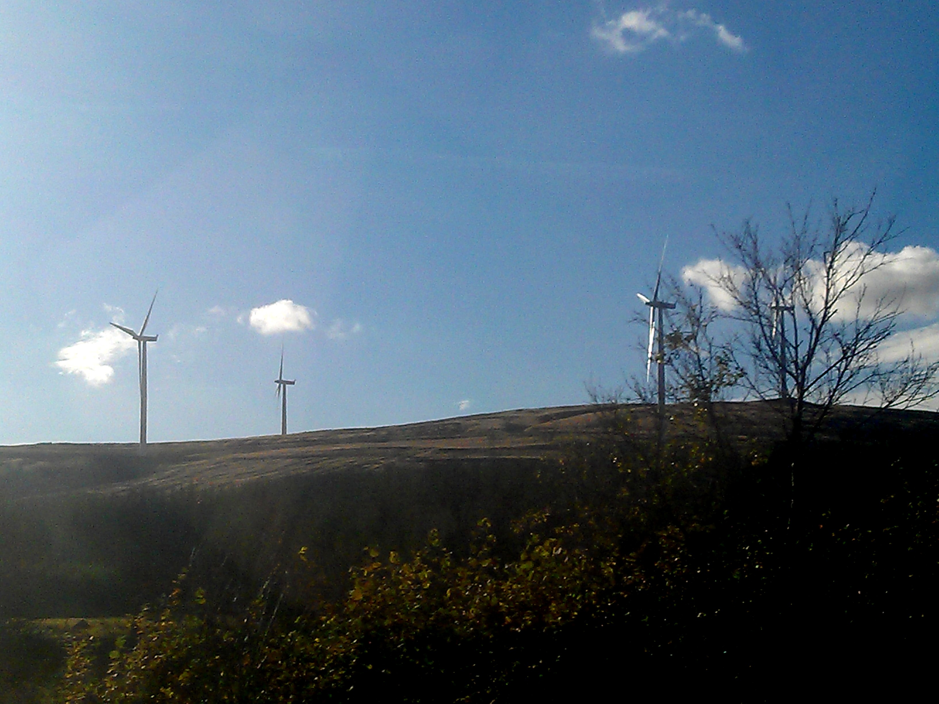
Clyde Wind Farm

The Clyde Wind Farm is a 522 megawatt (MW) wind farm near Abington in South Lanarkshire, Scotland. == Planning == The first stage of the project consists...

A702 road

The A702 is a major road in Scotland, that runs from Edinburgh to St. John's Town of Dalry in Dumfries and Galloway. It is the last section of the route...

Abington railway station

Abington railway station was a station which served Abington, in the Scottish county of South Lanarkshire. It was served by local trains on what is now...

Duneaton Water

Duneaton Water is a river in South Lanarkshire, Scotland. It joins the River Clyde at Abington. == References ==

Crawford, South Lanarkshire

Crawford is a village and civil parish in South Lanarkshire, Scotland.Crawford is close to the source of the River Clyde and the M74 motorway, 50 miles...

Abington, South Lanarkshire

Abington is a village in the Scottish council region of South Lanarkshire, close to the M74 motorway, marking the point where it changes name to the A74...

Nearby Amenities

Located within 500m of 55.500201,-3.5883558
Generator Manufacturer: Siemens
Generator Method: wind_turbine
Generator Output Electricity: 3.2 MW
Generator Source: wind
Generator Type: horizontal_axis
Operator: SSE
Power: generator
Lat/Long: 55.5006417/-3.5955387
Generator Method: wind_turbine
Generator Source: wind
Generator Type: horizontal_axis
Power: generator
Lat/Long: 55.5023888/-3.5867358
The data included in this document is from www.openstreetmap.org. The data is made available under ODbL.

Have you been to Tongue?

Leave your review of Tongue below (or comments, questions and feedback).