Borrobol Forest
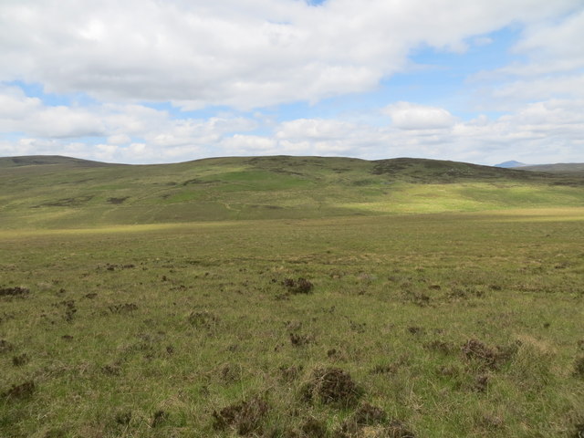
Downs, Moorland in Sutherland
Scotland
Borrobol Forest
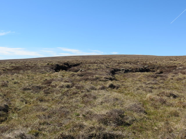
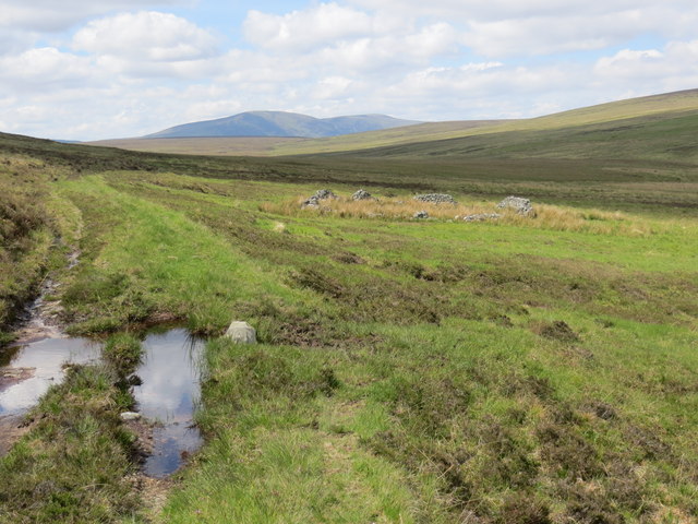
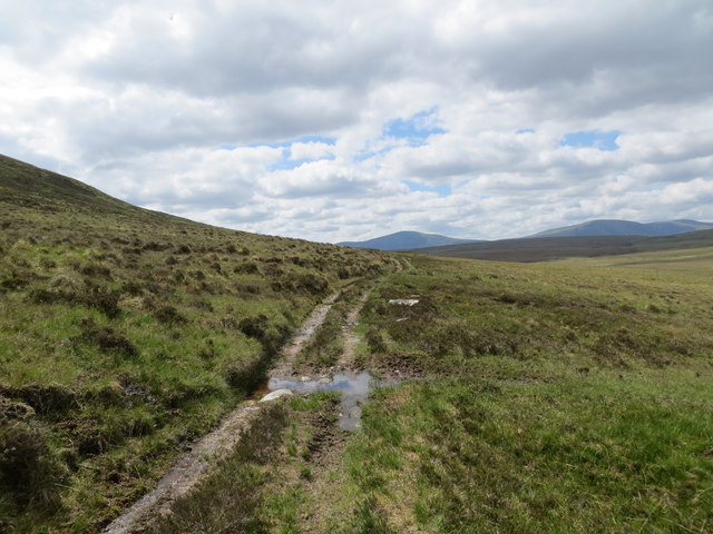
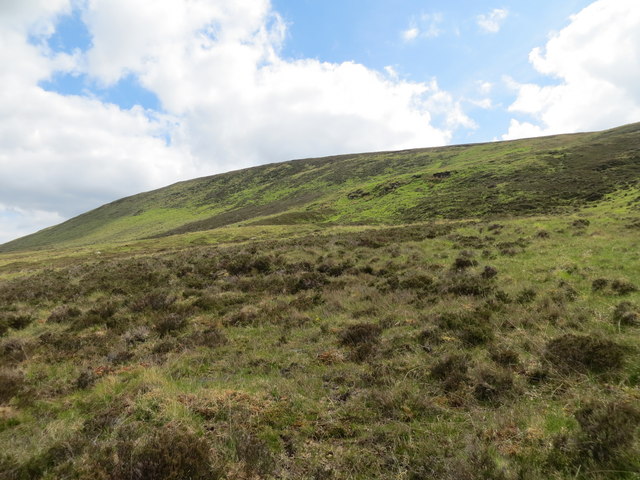
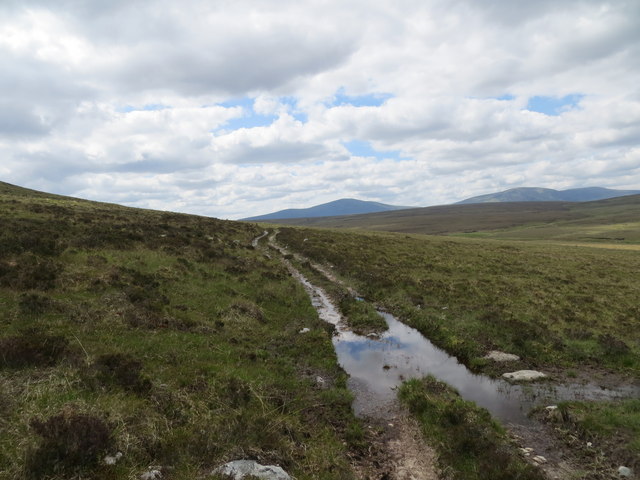
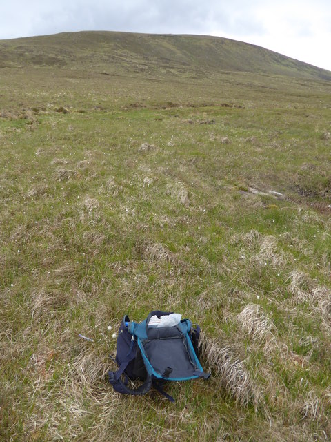
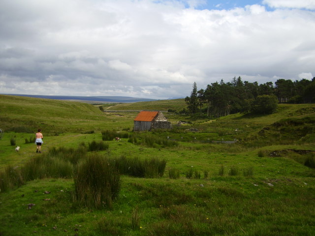
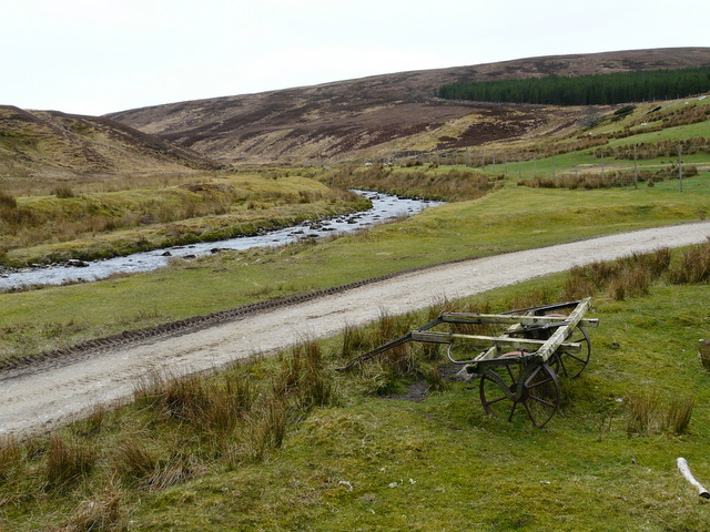
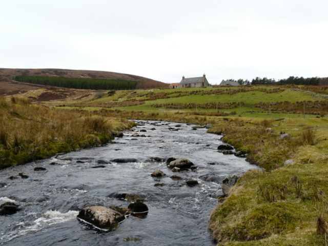
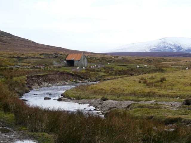
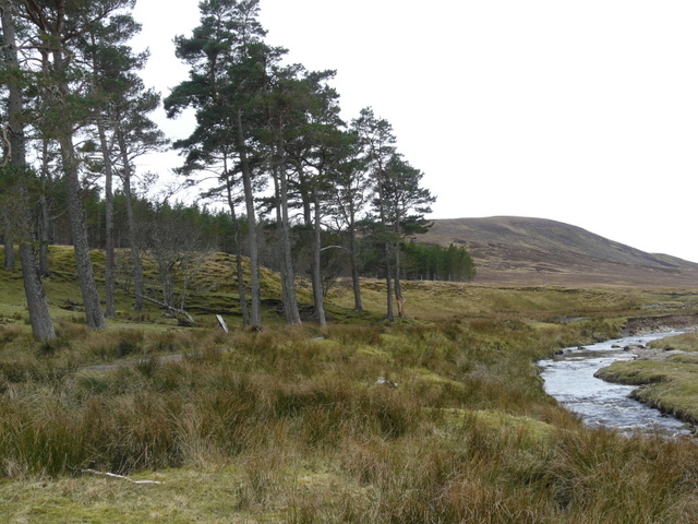
Borrobol Forest is a captivating and enchanting expanse of woodland located in the county of Sutherland, in the northernmost region of the Scottish Highlands. Stretching across approximately 10,000 hectares, Borrobol Forest is a remarkable combination of downs, moorland, and dense forest that creates a diverse and picturesque landscape.
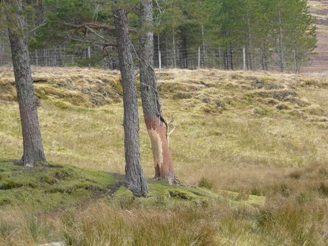
The forest is characterized by its vast array of tree species, including Scots pine, birch, rowan, and willow, which form a dense canopy overhead. The forest floor is adorned with a rich tapestry of heather, mosses, and ferns, creating a vibrant and ever-changing carpet of colors throughout the seasons.
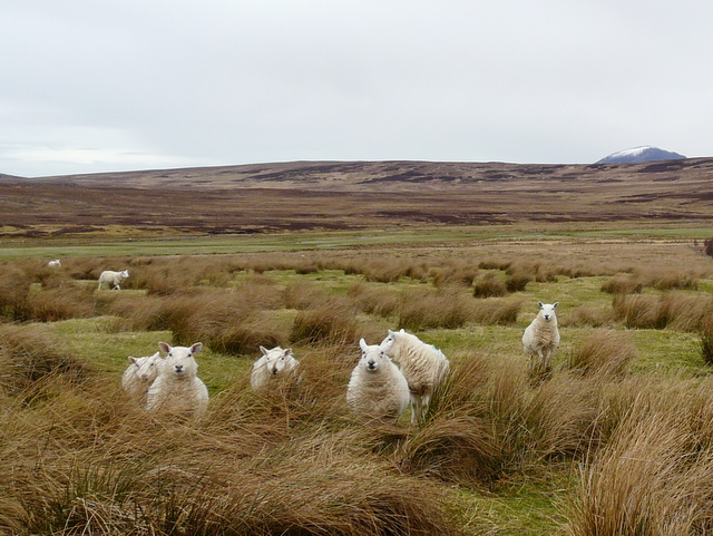
Borrobol Forest is not only visually stunning but also home to a variety of wildlife. Red deer roam freely through the forest, while eagles, peregrine falcons, and buzzards soar gracefully above. The elusive Scottish wildcat can sometimes be spotted, as well as pine martens, badgers, and otters that inhabit the forest's nooks and crannies.
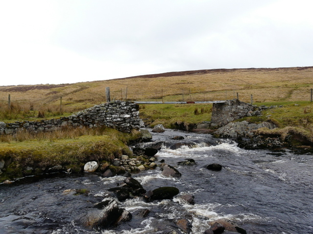
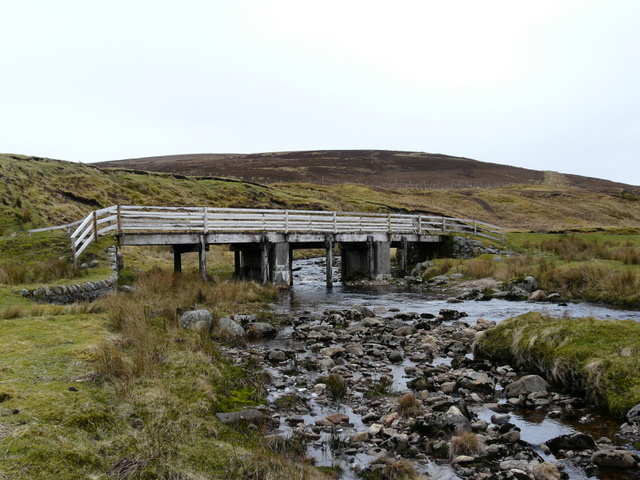
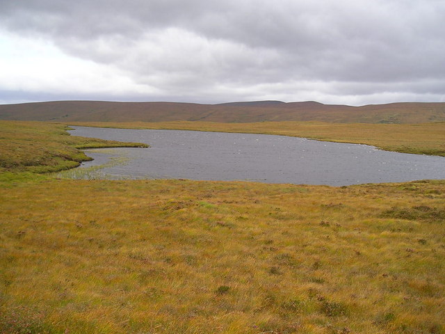
The forest offers a network of well-maintained trails and pathways, making it a haven for outdoor enthusiasts. Hikers and nature lovers can explore the forest's hidden gems, such as the picturesque Borrobol Loch and the cascading waterfalls that punctuate the landscape.
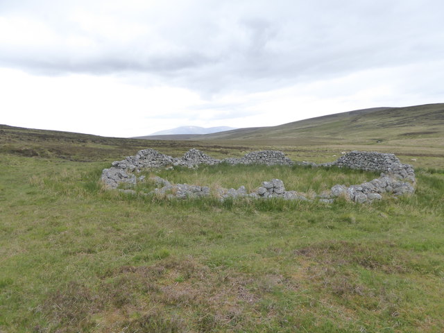
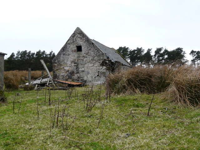
Borrobol Forest is not only a place of natural beauty but also holds historical significance. The remnants of ancient settlements and burial mounds can be found within its boundaries, providing a glimpse into the area's rich cultural heritage.
Overall, Borrobol Forest is a captivating destination that showcases the true beauty of the Scottish Highlands, offering a serene and awe-inspiring experience for those who venture into its depths.
If you have any feedback on the listing, please let us know in the comments section below.
Borrobol Forest Images
Images are sourced within 2km of 58.207624/-4.0347082 or Grid Reference NC8026. Thanks to Geograph Open Source API. All images are credited.
Borrobol Forest is located at Grid Ref: NC8026 (Lat: 58.207624, Lng: -4.0347082)
Unitary Authority: Highland
Police Authority: Highlands and Islands
What 3 Words
///manicured.harsh.cement. Near Kinbrace, Highland
Nearby Locations
Related Wikis

Loch Achnamoine
Loch Achnamoine is a small mountain loch, situated on the River Helmsdale in the Highland council area of Scotland. The nearest settlement to it is Kinbrace...

Kinbrace railway station
Kinbrace railway station is a railway station serving the village of Kinbrace in the Highland council area in the north of Scotland. It is located on the...

Kinbrace
Kinbrace is a small village in Sutherland in the Highland council area of Scotland. It lies at the junction of the A897 and B871 and is 17 miles (27 km...
Loch Badanloch
Loch Badanloch is a loch in Sutherland in the Highland Council Area of northern Scotland. The settlement on the lake is Bandanloch Lodge. The hamlet of...
Nearby Amenities
Located within 500m of 58.207624,-4.0347082Have you been to Borrobol Forest?
Leave your review of Borrobol Forest below (or comments, questions and feedback).