Dail na Drochaide

Downs, Moorland in Sutherland

Scotland

Dail na Drochaide

Skelpick - 1975 Skelpick, A838, River Naver.
Skelpick - 1975 Credit: Helmut Zozmann

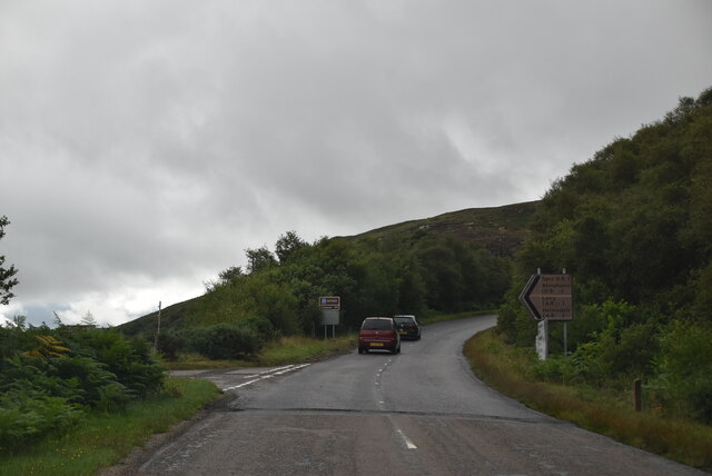
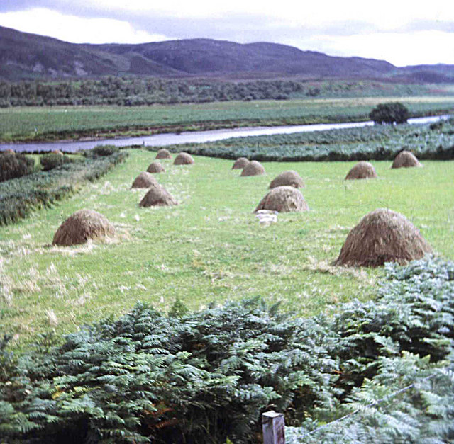
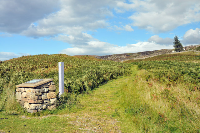
Dail na Drochaide, located in Sutherland, Scotland, is an area characterized by its downs and moorland. It is a picturesque and tranquil landscape, known for its natural beauty and diverse flora and fauna.

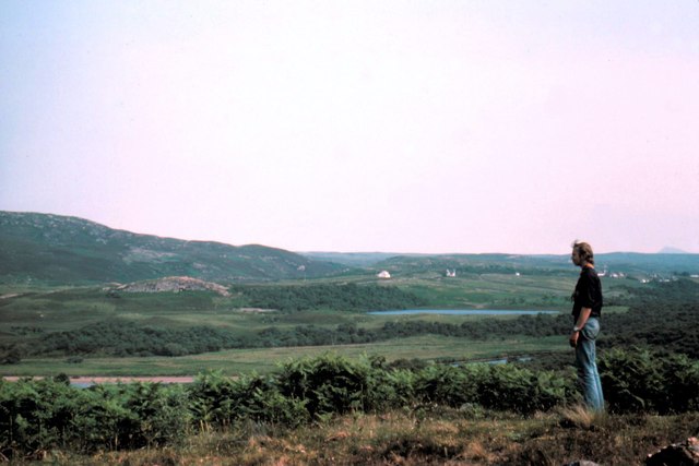
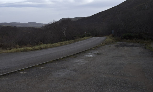
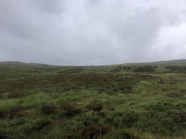
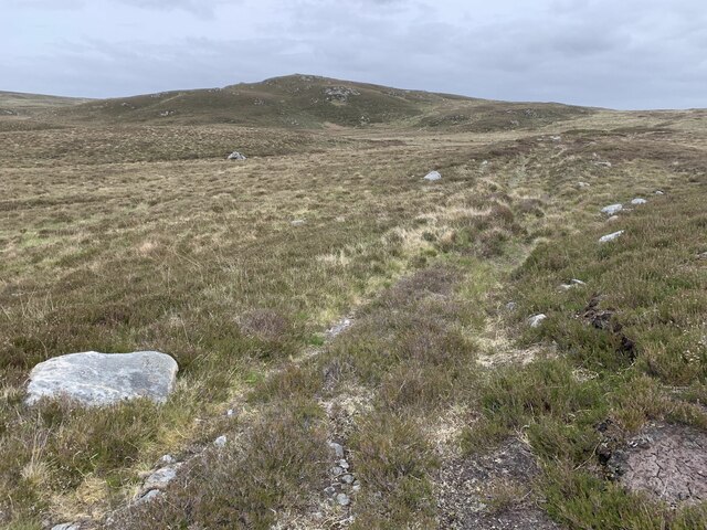
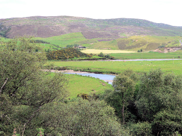
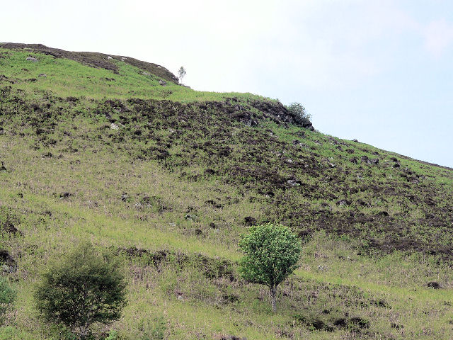
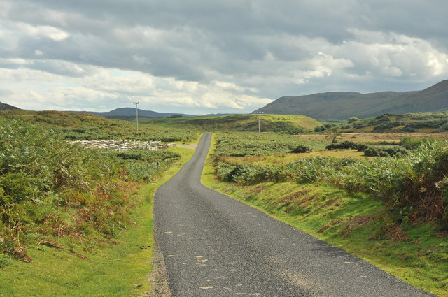
The downs in Dail na Drochaide are gently rolling hills covered in grasses and heather, creating a patchwork of vibrant colors throughout the year. These hills offer stunning panoramic views of the surrounding countryside, with their soft slopes providing a sense of openness and tranquility.

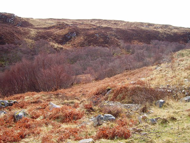
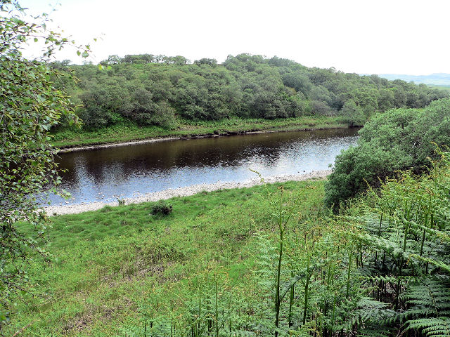
The moorland, on the other hand, is a more rugged and wild terrain, featuring vast expanses of heath and peat bogs. This habitat is home to a variety of plant species, including mosses, lichens, and wildflowers, which thrive in the damp and acidic soil. The moorland also provides a habitat for numerous bird species, such as golden eagles, red grouse, and curlews.

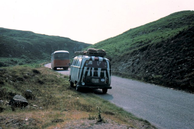
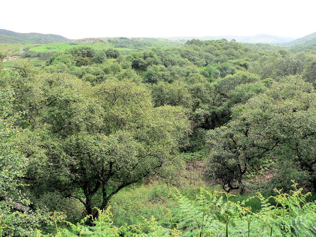
Dail na Drochaide is a popular destination for hikers and nature enthusiasts, offering a range of walking trails that showcase the area's natural wonders. Visitors can explore the ups and downs of the landscape, immersing themselves in the peaceful ambiance and taking in the breathtaking views.

Overall, Dail na Drochaide in Sutherland is a captivating downs and moorland area that offers a tranquil escape from the hustle and bustle of city life. Its diverse landscape, abundant flora and fauna, and stunning vistas make it a must-visit location for those seeking a connection with nature.

If you have any feedback on the listing, please let us know in the comments section below.

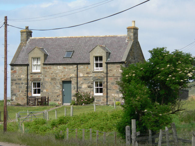
Dail na Drochaide Images

Images are sourced within 2km of 58.48751/-4.1994318 or Grid Reference NC7157. Thanks to Geograph Open Source API. All images are credited.

Skelpick - 1975 Skelpick, A838, River Naver.
Skelpick - 1975
Skelpick, A838, River Naver.
A836 near Skelpick - 1975
The B871 to Syre and Altnaharra
Skelpick near Bettyhill, old stone cottage
A836, B871 junction The A836 runs 122 miles from Dornoch Bridge to John O' Groats <a href="https://www.geograph.org.uk/photo/7086916">ND3872 : A836, John O' Groats</a>. Much of it is still single track.
<span class="nowrap"><a title="https://www.sabre-roads.org.uk/wiki/index.php?title=A836" rel="nofollow ugc noopener" href="https://www.sabre-roads.org.uk/wiki/index.php?title=A836">Link</a><img style="margin-left:2px;" alt="External link" title="External link - shift click to open in new window" src="https://s1.geograph.org.uk/img/external.png" width="10" height="10"/></span>
A836, B871 junction
The A836 runs 122 miles from Dornoch Bridge to John O' Groats ND3872 : A836, John O' Groats. Much of it is still single track. LinkExternal link
More moorland  This time south of the A836 between Bettyhill and Tongue
More moorland
This time south of the A836 between Bettyhill and Tongue
Moorland track at Creag Achinlochy
Lochan Duinte, Bettyhill, Sutherland Boat and bank fishing is available here.  Try the grocer shop in Bettyhill for a permit.
Lochan Duinte, Bettyhill, Sutherland
Boat and bank fishing is available here. Try the grocer shop in Bettyhill for a permit.
Apigill Birch woods as the Allt Apigill drops to Strathnaver.
Apigill
Birch woods as the Allt Apigill drops to Strathnaver.
Surprisingly narrow A class road along hillside
River Naver, at north end of B871
Woodland in the river valley
River Naver
River Naver
Sparse vegetation on the rocky hillside
Hay stooks in Strath Naver From the A836 at Achnabourin looking south-east across the river.
Hay stooks in Strath Naver
From the A836 at Achnabourin looking south-east across the river.
Road sign for John o' Groats
Minor road near Bettyhill
Strathnaver Trail
Strathnaver Trail
Show me another place!

Dail na Drochaide is located at Grid Ref: NC7157 (Lat: 58.48751, Lng: -4.1994318)

Unitary Authority: Highland

Police Authority: Highlands and Islands

What 3 Words

///lands.drawn.napkins. Near Forsinard, Highland

Nearby Locations

Dail na Drochaide

Related Wikis

Skelpick

Skelpick (Scottish Gaelic: Sgeilpeach) is a small remote crofting hamlet, 2 miles south of Bettyhill, in the far north of Sutherland, Scottish Highlands...

Leckfurin

Leckfurin is a small remote village, which lies on the left bank of the River Naver, in northern Sutherland in Scottish Highlands and is in the Scottish...

Achina, Highland

Achina is a village in Highland, Scotland. == References ==

Invernaver

Invernaver (Gaelic: Inbhir Nabhair) is a small, remote hamlet, situated on the west bank of the River Naver as it flows into Torrisdale Bay, in Sutherland...

Nearby Amenities

Located within 500m of 58.48751,-4.1994318
Ford: yes
Lat/Long: 58.4858425/-4.1943173
Rhinovie
Locality: abandoned_place
Name Gd: Roinnimhigh
Place: locality
Lat/Long: 58.4882973/-4.2062917
Dail na Drochaide
Place: isolated_dwelling
Lat/Long: 58.4866935/-4.2022148
Power: pole
Lat/Long: 58.4835494/-4.2003029
Power: pole
Lat/Long: 58.4843147/-4.2008169
Power: pole
Lat/Long: 58.4853526/-4.2015294
Power: pole
Lat/Long: 58.4864048/-4.2022419
Power: pole
Lat/Long: 58.4873145/-4.2029232
Power: pole
Lat/Long: 58.4882872/-4.2036552
Power: pole
Lat/Long: 58.4888977/-4.2041185
Power: pole
Lat/Long: 58.4897748/-4.2048077
The data included in this document is from www.openstreetmap.org. The data is made available under ODbL.

Have you been to Dail na Drochaide?

Leave your review of Dail na Drochaide below (or comments, questions and feedback).