Gwaun y Garnedd

Downs, Moorland in Caernarfonshire

Wales

Gwaun y Garnedd

Dulyn Bothy Maintained by The Mountain Bothies Association.
Dulyn Bothy Credit: Colin Kinnear

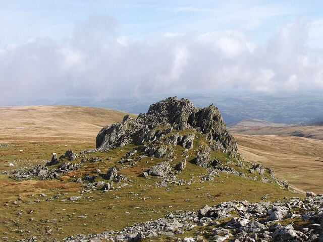
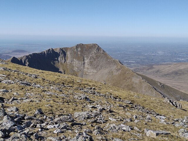
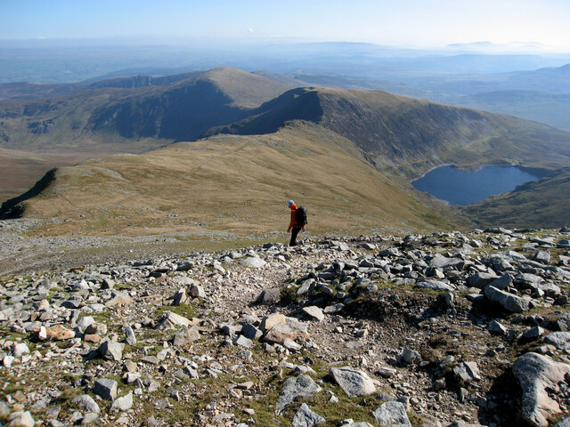
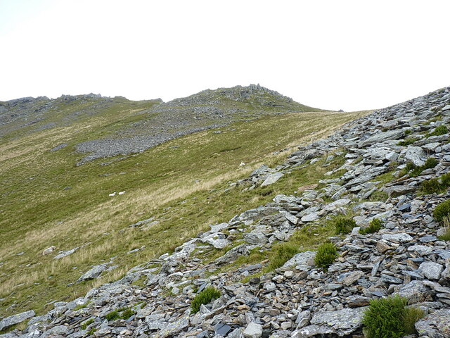
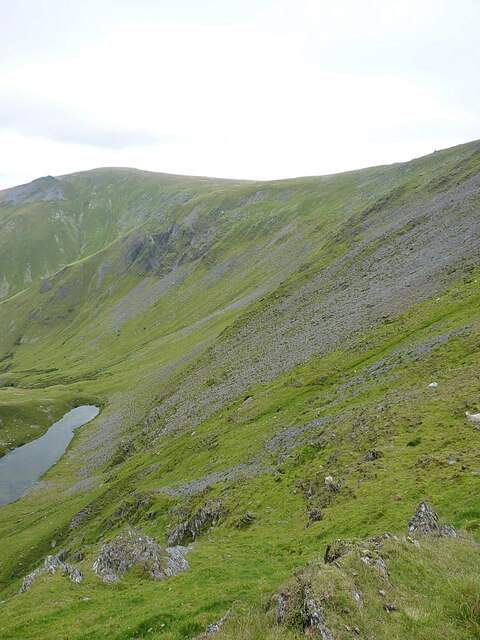
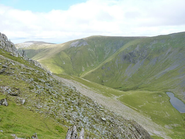
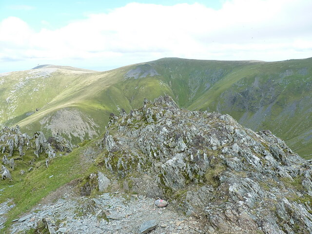
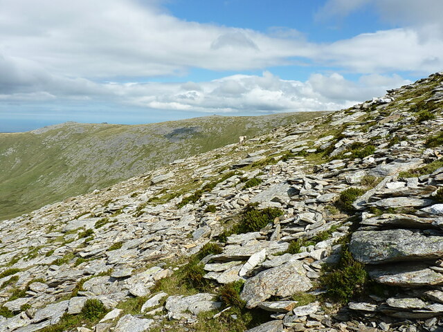
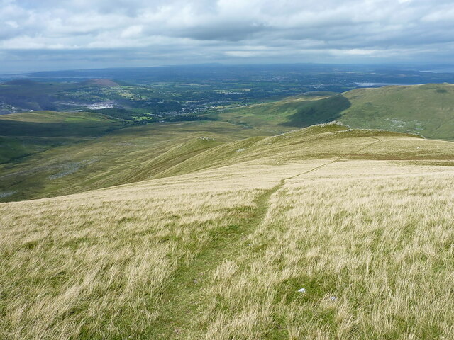
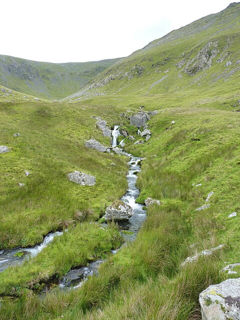
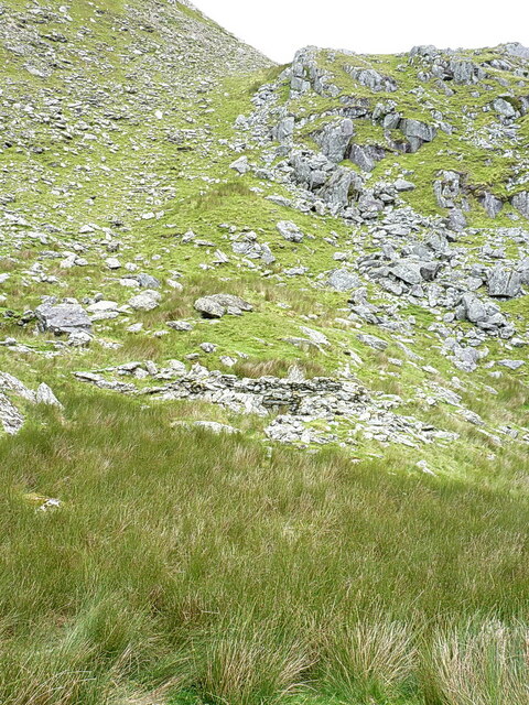
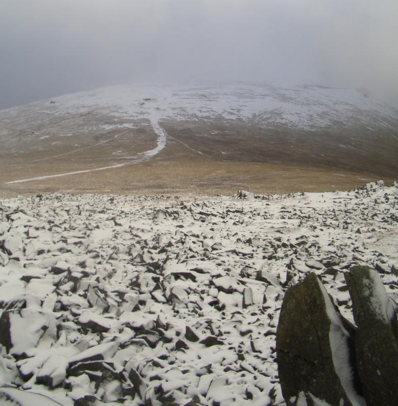
Gwaun y Garnedd is a vast area of downs and moorland located in the county of Caernarfonshire, Wales. Situated in the Snowdonia National Park, it encompasses an expansive landscape characterized by rolling hills, heather-covered moors, and stunning panoramic views.

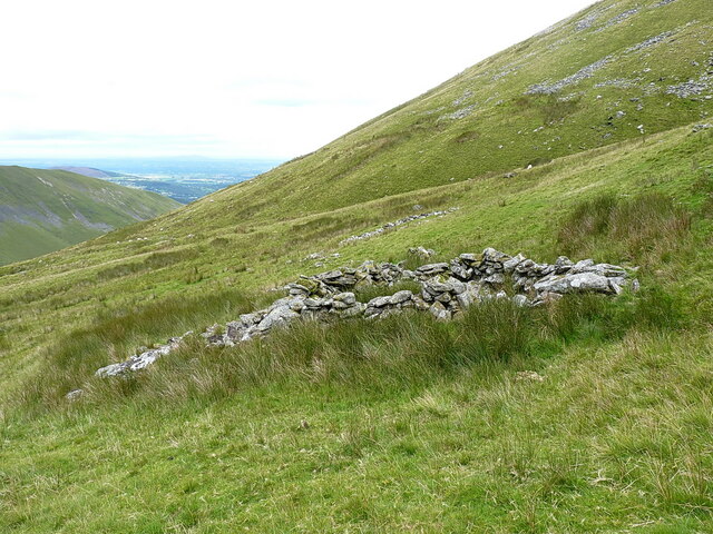
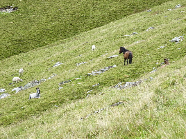
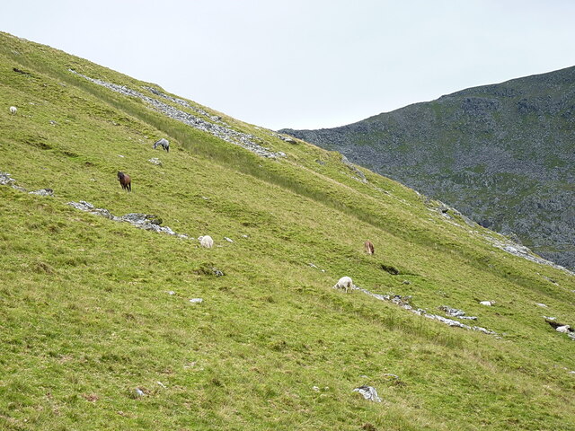
The downs of Gwaun y Garnedd are predominantly made up of limestone, which provides a unique habitat for a variety of plant and animal species. The area is home to a diverse range of flora, including heather, gorse, and bracken, which create a beautiful tapestry of colors throughout the seasons. This rich vegetation also supports a variety of bird species, such as red grouse and skylarks, which can often be spotted soaring above the moorland.

Gwaun y Garnedd is a popular destination for outdoor enthusiasts, offering ample opportunities for walking, hiking, and wildlife spotting. The network of footpaths and trails winding through the area provides access to its most scenic spots, including the summit of Gwaun y Llwyni, which stands at an impressive height of 531 meters.

Visitors to Gwaun y Garnedd can enjoy breathtaking views of the surrounding mountains, including the iconic peaks of Snowdon and Tryfan. On a clear day, the expansive vistas extend as far as the Irish Sea, creating a truly awe-inspiring experience.

Overall, Gwaun y Garnedd is a haven for nature lovers, offering a tranquil and picturesque landscape that showcases the raw beauty of the Caernarfonshire countryside.

If you have any feedback on the listing, please let us know in the comments section below.

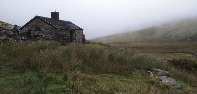
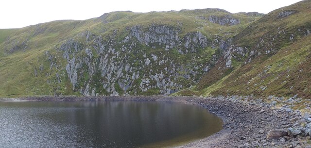
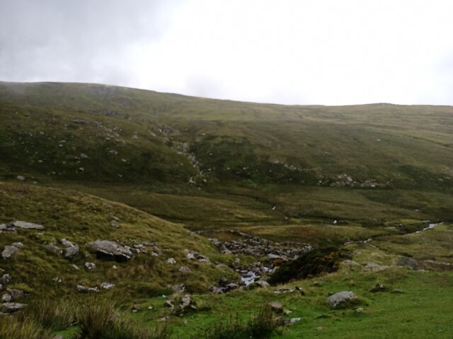
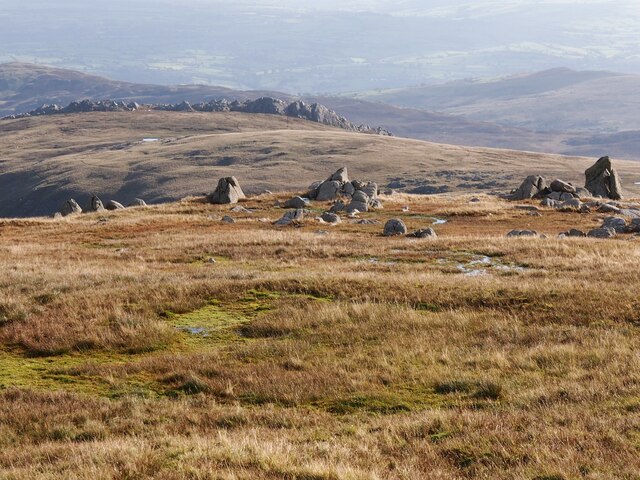
Gwaun y Garnedd Images

Images are sourced within 2km of 53.168148/-3.9624966 or Grid Reference SH6865. Thanks to Geograph Open Source API. All images are credited.

Dulyn Bothy Maintained by The Mountain Bothies Association.
Dulyn Bothy
Maintained by The Mountain Bothies Association.
Melynllyn Reservoir near Dulyn bothy.
Melynllyn
Reservoir near Dulyn bothy.
Views from Dulyn Bothy
Rock Outcrops Above Melynllyn
Rock Outcrop, Carnedd Llewelyn
Descending from Carnedd Llewelyn This path traverses the top of Craig yr Ysfa, from there you can pass Ffynnon Llugwy reservoir to reach  the A5 road.
Descending from Carnedd Llewelyn
This path traverses the top of Craig yr Ysfa, from there you can pass Ffynnon Llugwy reservoir to reach the A5 road.
Sheepfold high on the hillside of Carnedd Llewelyn At an altitude of roughly 660m, 2165ft, this disused post-medieval sheepfold is in a ruinous state but still consists of two distinct and recognisable cells about 60 or 70 yards apart.
Sheepfold high on the hillside of Carnedd Llewelyn
At an altitude of roughly 660m, 2165ft, this disused post-medieval sheepfold is in a ruinous state but still consists of two distinct and recognisable cells about 60 or 70 yards apart.
Carneddau ponies grazing on Carnedd Llewelyn Ignoring the sheep, here we can see a few of the 200-300 strong herd of feral ponies that lives high on the Carneddau. There were a few more behind me <a href="https://www.geograph.org.uk/photo/7566122">SH6764 : More Carneddau ponies</a> as I took this picture
Carneddau ponies grazing on Carnedd Llewelyn
Ignoring the sheep, here we can see a few of the 200-300 strong herd of feral ponies that lives high on the Carneddau. There were a few more behind me SH6764 : More Carneddau ponies as I took this picture
More Carneddau ponies Taken from the same spot as <a href="https://www.geograph.org.uk/photo/7566115">SH6764 : Carneddau ponies grazing on Carnedd Llewelyn</a>, but looking across the hillside in the other direction, there were a further 3 or 4 ponies grazing that slope too.
More Carneddau ponies
Taken from the same spot as SH6764 : Carneddau ponies grazing on Carnedd Llewelyn, but looking across the hillside in the other direction, there were a further 3 or 4 ponies grazing that slope too.
Almost at the col After a long flog of about 1400ft straight up the hillside from Cwm Pen-llafar to the west, this boulder scree is almost at the col between Carnedd Llewelyn and Yr Elen. My approach route to the latter hill was a little unconventional, I accept that.
Almost at the col
After a long flog of about 1400ft straight up the hillside from Cwm Pen-llafar to the west, this boulder scree is almost at the col between Carnedd Llewelyn and Yr Elen. My approach route to the latter hill was a little unconventional, I accept that.
View downhill into Cwm Caseg Taken from the col between Carnedd Llewelyn and Yr Elen
View downhill into Cwm Caseg
Taken from the col between Carnedd Llewelyn and Yr Elen
View down into Cwm Caseg Taken from the south-eastern ridge of Yr Elen, across the deep Cwm Caseg on its eastern side. The lake lies at an altitude of about 2445ft, so is probably the 3rd highest substantial body of water in Wales, after <a href="https://www.geograph.org.uk/photo/5390836">SH6864 : Ffynnon Llyffant</a> and <a href="https://www.geograph.org.uk/photo/1488966">SH6758 : Llyn Caseg-fraith, with Tryfan beyond</a>.
View down into Cwm Caseg
Taken from the south-eastern ridge of Yr Elen, across the deep Cwm Caseg on its eastern side. The lake lies at an altitude of about 2445ft, so is probably the 3rd highest substantial body of water in Wales, after SH6864 : Ffynnon Llyffant and SH6758 : Llyn Caseg-fraith, with Tryfan beyond.
Summit rocks of Yr Elen The highest of three contenders for the actual summit. There's a rocky outcrop, sometimes sporting a small cairn, roughly 50m to the SSW which is 50cm lower, and a further cairn on a protrusion a little way to the WNW which is clearly lower than this point, by about 3m in fact.
Summit rocks of Yr Elen
The highest of three contenders for the actual summit. There's a rocky outcrop, sometimes sporting a small cairn, roughly 50m to the SSW which is 50cm lower, and a further cairn on a protrusion a little way to the WNW which is clearly lower than this point, by about 3m in fact.
Slatey boulder scree on the NW flank of Yr Elen Rocks and scree on the NW flank, composed mainly of the underlying slate that forms the backbone of the quarrying industry upon which Bethesda (and Llanberis) has grown up.
Slatey boulder scree on the NW flank of Yr Elen
Rocks and scree on the NW flank, composed mainly of the underlying slate that forms the backbone of the quarrying industry upon which Bethesda (and Llanberis) has grown up.
Grassy track down the hill towards Foel Ganol
The upper reaches of the Afon Caseg A view into the upper part of Cwm Caseg, where the stream comes down in a series of small cascades and falls.
The upper reaches of the Afon Caseg
A view into the upper part of Cwm Caseg, where the stream comes down in a series of small cascades and falls.
Unknown old building in Cwm Caseg Below the boulders and scree on the hillside, there's a small building about 50 yards in front of me here, which is loosely recorded by the Gwynedd Archaeological Trust <span class="nowrap"><a title="https://archwilio.org.uk/arch/query/page.php?watprn=GAT6848&dbname=gat&tbname=core" rel="nofollow ugc noopener" href="https://archwilio.org.uk/arch/query/page.php?watprn=GAT6848&dbname=gat&tbname=core">Link</a><img style="margin-left:2px;" alt="External link" title="External link - shift click to open in new window" src="https://s1.geograph.org.uk/img/external.png" width="10" height="10"/></span> as a sheepfold, but with an acknowledgement that "There is a possibility of medieval foundations below some of the structures"
Unknown old building in Cwm Caseg
Below the boulders and scree on the hillside, there's a small building about 50 yards in front of me here, which is loosely recorded by the Gwynedd Archaeological Trust LinkExternal link as a sheepfold, but with an acknowledgement that "There is a possibility of medieval foundations below some of the structures"
Show me another place!

Gwaun y Garnedd is located at Grid Ref: SH6865 (Lat: 53.168148, Lng: -3.9624966)

Unitary Authority: Conwy

Police Authority: North Wales

What 3 Words

///simulations.estate.remarks. Near Bethesda, Gwynedd

Related Wikis

Foel Grach

Foel Grach is a mountain in the Carneddau range. It is the eighth-highest summit in Snowdonia as well as Wales, and is included in the Welsh 3000s. It...

Llyn Llyffant

Llyn Llyffant is the highest lake in Wales, located at grid reference SH 687 645. Its name translates into English as "frog lake". It lies at an elevation...

Carnedd Llewelyn

Carnedd Llewelyn, also spelled Carnedd Llywelyn, is a mountain massif in the Carneddau range in Snowdonia, north-west Wales. It is the highest point of...

Llyn Melynllyn

Llyn Melynllyn (Welsh for 'yellow lake') is a lake within the Carneddau range of mountains in Snowdonia, North Wales. It lies at a height of just over...

Have you been to Gwaun y Garnedd?

Leave your review of Gwaun y Garnedd below (or comments, questions and feedback).