Freewater Forest

Downs, Moorland in Ross-shire

Scotland

Freewater Forest

Summit of Sithean Raireag The view from the summit of Sithean Raireag (544m) a remote top in the Freevater Forest, looking at the western side and undulating summit ridge of Bodach Mor.
Summit of Sithean Raireag Credit: Andrew Spenceley

Freewater Forest is a picturesque area in Ross-shire, Scotland, known for its stunning downs and moorland landscapes. Located in the Highlands, this natural gem offers visitors a unique opportunity to immerse themselves in the beauty of the Scottish countryside.

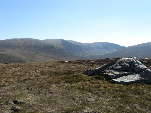
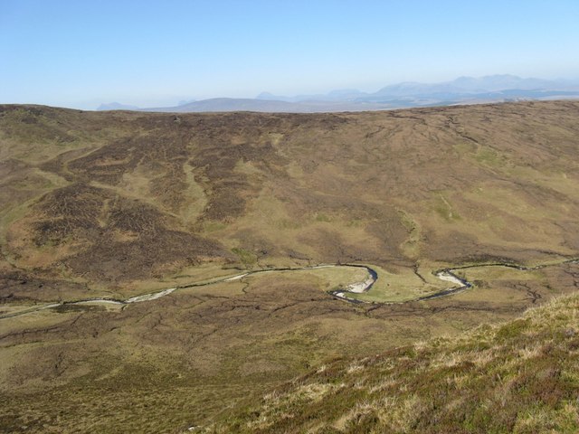
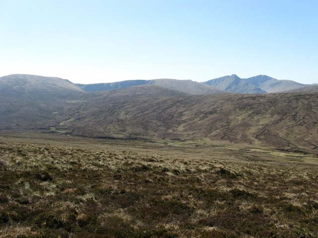
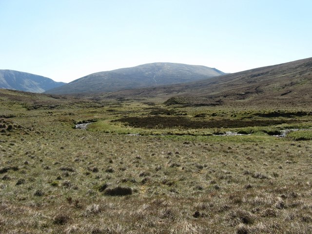
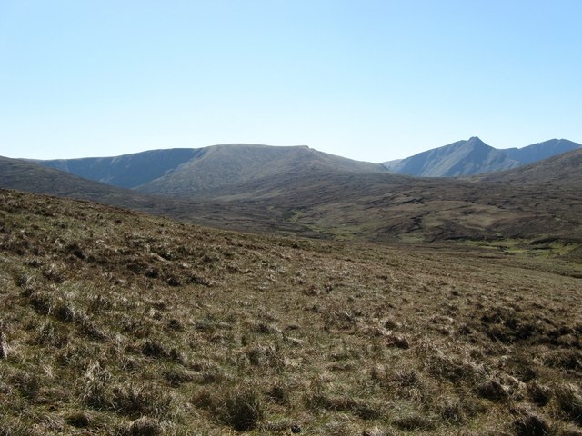
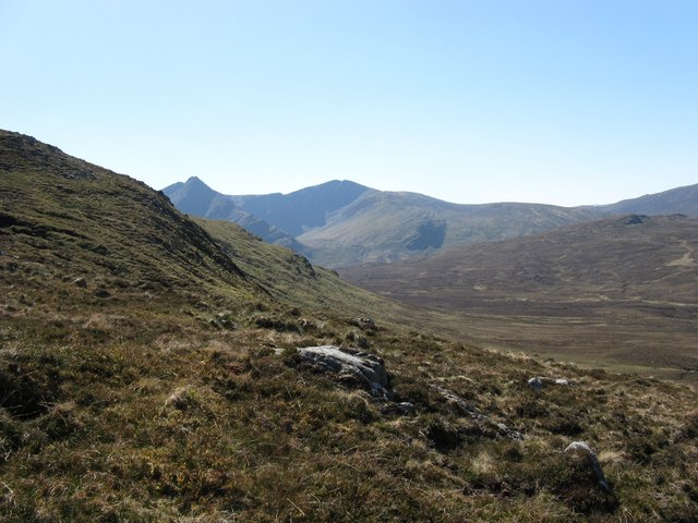
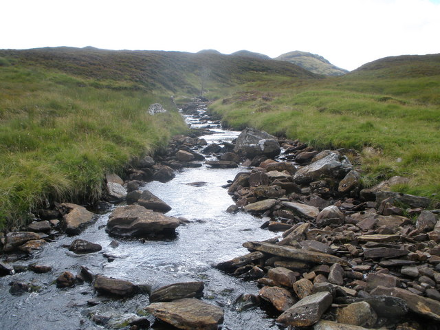
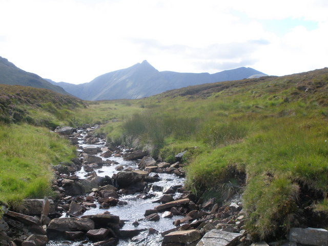
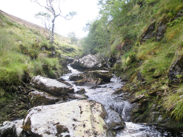
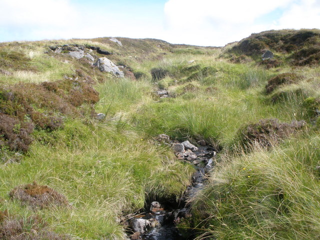
Covering a vast area, Freewater Forest is characterized by its rolling downs, which provide breathtaking panoramic views of the surrounding landscape. The open grasslands are dotted with heather and gorse bushes, adding vibrant colors to the scenery. This area is a haven for nature enthusiasts and hikers, as it offers a variety of trails and paths suitable for all levels of fitness.

The moorland of Freewater Forest is a distinct feature of the area, characterized by its heath vegetation and peat bogs. It is home to a diverse range of wildlife, including red deer, grouse, and various bird species. The moorland also provides important habitat for rare and protected species such as the Scottish wildcat and the golden eagle.

Visitors to Freewater Forest can expect to encounter a peaceful and tranquil environment, perfect for those seeking to escape the hustle and bustle of everyday life. The area is also rich in historical and cultural significance, with ancient ruins and standing stones scattered throughout.

Whether it's a leisurely stroll, a challenging hike, or simply a moment of quiet reflection, Freewater Forest offers something for everyone. Its natural beauty and serene atmosphere make it an ideal destination for outdoor enthusiasts and those looking to connect with nature in the heart of Scotland's stunning Highlands.

If you have any feedback on the listing, please let us know in the comments section below.

Freewater Forest Images

Images are sourced within 2km of 57.874652/-4.8034124 or Grid Reference NH3390. Thanks to Geograph Open Source API. All images are credited.

Summit of Sithean Raireag The view from the summit of Sithean Raireag (544m) a remote top in the Freevater Forest, looking at the western side and undulating summit ridge of Bodach Mor.
Summit of Sithean Raireag
The view from the summit of Sithean Raireag (544m) a remote top in the Freevater Forest, looking at the western side and undulating summit ridge of Bodach Mor.
Above the Glasha Burn View from a spur on the northern ridge of Bodach Mor looking down to the Glasha Burn. This is quite an unusual name as "Burns" are very unusual in Scotland, you would expect a gaelic name in such a remote part of the hills and it fact further downstream when it becomes a river it reverts to the gaelic as becomes an "Abhainn" or River.
Above the Glasha Burn
View from a spur on the northern ridge of Bodach Mor looking down to the Glasha Burn. This is quite an unusual name as "Burns" are very unusual in Scotland, you would expect a gaelic name in such a remote part of the hills and it fact further downstream when it becomes a river it reverts to the gaelic as becomes an "Abhainn" or River.
Heathery slopes on east side of Glasha Burn Rough heathery slopes drop down to the Glasha Burn. To the far right can be seen Seana Bhraigh with An Sgurr next left, while further left are the northern ridges of Carn Ban.
Heathery slopes on east side of Glasha Burn
Rough heathery slopes drop down to the Glasha Burn. To the far right can be seen Seana Bhraigh with An Sgurr next left, while further left are the northern ridges of Carn Ban.
Upper reaches of Glasha Burn Looking south to Bodach Mor and Carn Ban.
Upper reaches of Glasha Burn
Looking south to Bodach Mor and Carn Ban.
Allt an Toll Lochain Boggy and heathery ground with the Allt an Toll Lochain dropping through it. An Sgurr and Seana Bhraigh are to the right.
Allt an Toll Lochain
Boggy and heathery ground with the Allt an Toll Lochain dropping through it. An Sgurr and Seana Bhraigh are to the right.
West side of Meall an Daimh Mhoir This is the west side of one of many northern ridges of Carn Ban, a hill that covers an enormous area. Seana Bhraig and An Sgurr dominate the view.
West side of Meall an Daimh Mhoir
This is the west side of one of many northern ridges of Carn Ban, a hill that covers an enormous area. Seana Bhraig and An Sgurr dominate the view.
Allt Strath nan Suileag
Allt Srath nan Sùileag Seana Bhraigh in the background
Allt Srath nan Sùileag
Seana Bhraigh in the background
Allt an Toll-lochain
Unnamed burn flowing down to the Abhainn Coire an t- Seilich
Show me another place!

Freewater Forest is located at Grid Ref: NH3390 (Lat: 57.874652, Lng: -4.8034124)

Unitary Authority: Highland

Police Authority: Highlands and Islands

What 3 Words

///sing.segregate.tablets. Near Ullapool, Highland

Related Wikis

Seana Bhràigh

Seana Bhràigh is a mountain east of Ullapool, in the Highlands of Scotland. == Ascent == The main approach is from the A835 road through the Lael Forest...

Have you been to Freewater Forest?

Leave your review of Freewater Forest below (or comments, questions and feedback).