Affaland Moor

Downs, Moorland in Devon Torridge

England

Affaland Moor

Junction north of Venton I was more fortunate than Robert with the weather - see <a href="https://www.geograph.org.uk/photo/599292">SX3199 : Road junction north of Hollafrench</a> - but then I only came here because it was sunny.
Junction north of Venton Credit: Derek Harper

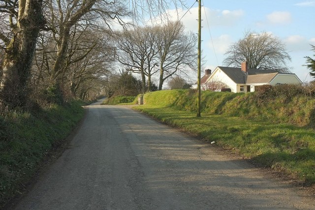
Affaland Moor is a stunning area of natural beauty located in Devon, England. Spanning over a vast expanse of downs and moorland, this picturesque landscape offers a diverse range of flora and fauna, making it a haven for nature enthusiasts and outdoor adventurers alike.

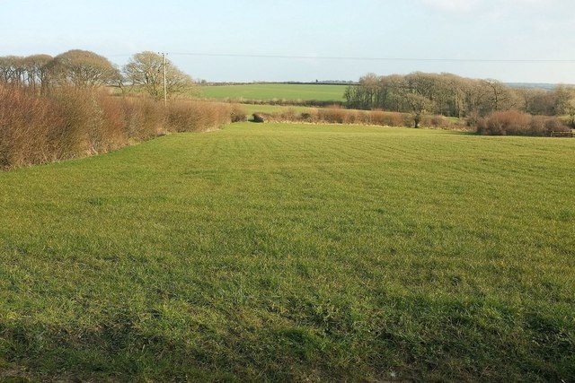
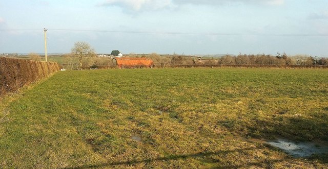
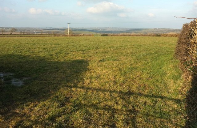
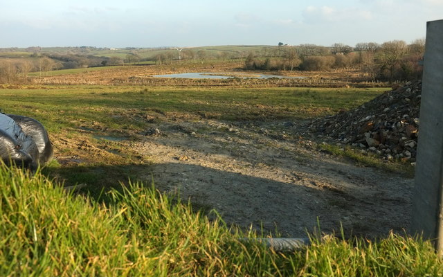
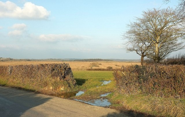
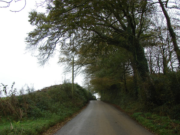
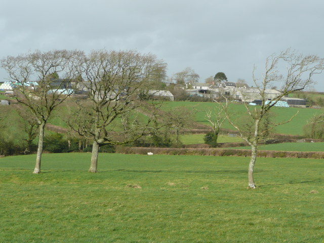
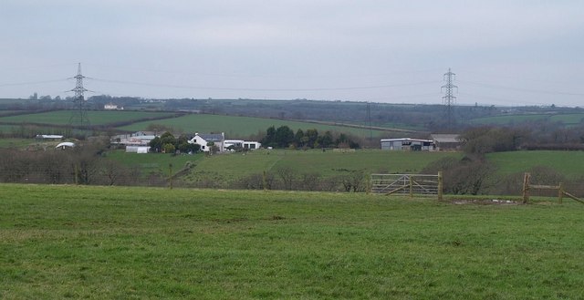
The moorland of Affaland Moor is characterized by its rolling hills, vast open spaces, and expansive heather-covered landscapes. This unique ecosystem supports a variety of wildlife, including rare bird species such as the Dartford warbler and the stonechat. Visitors to the moorland can often spot these beautiful creatures as they flit between the heather bushes.

In addition to its vibrant wildlife, Affaland Moor is also home to an array of archaeological sites that date back centuries. Prehistoric stone circles and ancient burial mounds can be found scattered across the moor, providing a glimpse into the rich history of the area.

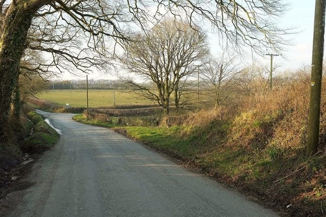
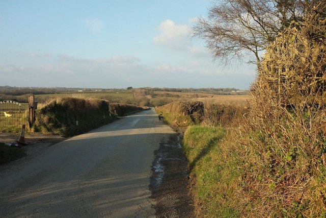
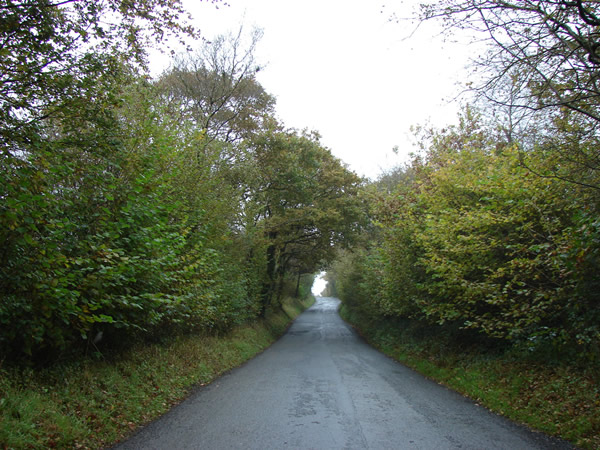
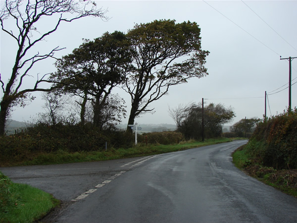
The downs of Affaland Moor offer breathtaking panoramic views, with their elevated position providing vistas of the surrounding countryside. From the downs, visitors can take in the sights of rolling hills, picturesque villages, and meandering rivers, creating a truly idyllic setting.

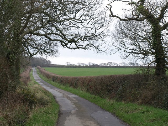
For those seeking outdoor activities, Affaland Moor offers a variety of options. Hiking and walking trails crisscross the moorland, allowing visitors to explore the area at their own pace. Additionally, the moor is a popular spot for birdwatching, photography, and picnicking, providing ample opportunities to relax and enjoy the natural surroundings.

Overall, Affaland Moor in Devon is a captivating destination that showcases the beauty of the English countryside. With its diverse landscapes, rich wildlife, and historical sites, it is a must-visit location for nature lovers and history enthusiasts alike.

If you have any feedback on the listing, please let us know in the comments section below.

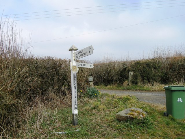
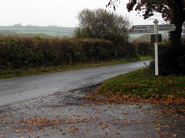
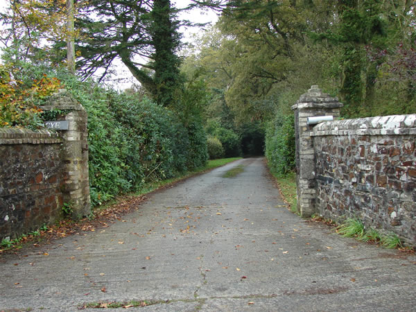
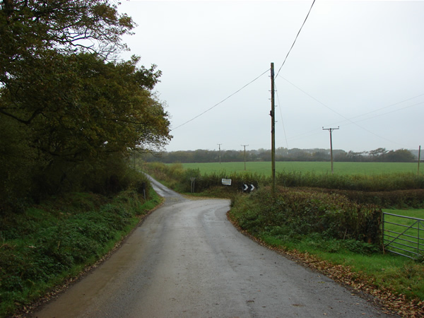
Affaland Moor Images

Images are sourced within 2km of 50.777075/-4.3871981 or Grid Reference SS3100. Thanks to Geograph Open Source API. All images are credited.

Junction north of Venton I was more fortunate than Robert with the weather - see <a href="https://www.geograph.org.uk/photo/599292">SX3199 : Road junction north of Hollafrench</a> - but then I only came here because it was sunny.
Junction north of Venton
I was more fortunate than Robert with the weather - see SX3199 : Road junction north of Hollafrench - but then I only came here because it was sunny.
Field, Corfcott Green The view is across the head of a shallow side valley of the Claw, with clusters of trees, on the right, around the stream; on the left, unexplained.
Field, Corfcott Green
The view is across the head of a shallow side valley of the Claw, with clusters of trees, on the right, around the stream; on the left, unexplained.
Barn near Affaland Wood From the road between North Tamerton and Venton. Beyond the lopsided-looking barn is Affaland Farm, in <a href="https://www.geograph.org.uk/gridref/SX3298">SX3298</a>. In between them is the Deer valley.
Barn near Affaland Wood
From the road between North Tamerton and Venton. Beyond the lopsided-looking barn is Affaland Farm, in SX3298. In between them is the Deer valley.
Field near West Venton The field behind the left-hand hedge in <a href="https://www.geograph.org.uk/photo/5001762">SX3198 : Barn near Affaland Wood</a>, with distant wind turbines.
Field near West Venton
The field behind the left-hand hedge in SX3198 : Barn near Affaland Wood, with distant wind turbines.
Road at Venton Passing a bungalow between the farms at West and East Venton, which I would say are north and south of each other rather than east and west.
Road at Venton
Passing a bungalow between the farms at West and East Venton, which I would say are north and south of each other rather than east and west.
Pond on Affaland Moor A recent pond and island seen from the road to Thorndon Cross, with an unnamed plantation on the right.
Pond on Affaland Moor
A recent pond and island seen from the road to Thorndon Cross, with an unnamed plantation on the right.
Road, Affaland Moor About to start the descent shown in <a href="https://www.geograph.org.uk/photo/4865995">SS3100 : Road across Affaland Moor</a>. The full name above the dog on the gate is "Beechwood". The distant ridgetop village on the left is Pyworthy.
Road, Affaland Moor
About to start the descent shown in SS3100 : Road across Affaland Moor. The full name above the dog on the gate is "Beechwood". The distant ridgetop village on the left is Pyworthy.
Field entrance, Affaland Moor On the right at the place shown in <a href="https://www.geograph.org.uk/photo/5002125">SX3199 : Road, Affaland Moor</a>, looking towards the valley of a tributary of the Deer. Beyond is the rough grazing of Affaland Moor.
Field entrance, Affaland Moor
On the right at the place shown in SX3199 : Road, Affaland Moor, looking towards the valley of a tributary of the Deer. Beyond is the rough grazing of Affaland Moor.
Corfcott Green
Corfcott Green
Holsworthy road near Thorndon View northeast. The fallen leaves are oak leaves.
Holsworthy road near Thorndon
View northeast. The fallen leaves are oak leaves.
Driveway to Vacye View west.
Driveway to Vacye
View west.
Road junction north of Hollafrench View north northwest.
Road junction north of Hollafrench
View north northwest.
Looking up towards Hollafrench View south southeast
Looking up towards Hollafrench
View south southeast
Road to Holsworthy The road climbs north northwest having crossed a small tributary of the River Deer.
Road to Holsworthy
The road climbs north northwest having crossed a small tributary of the River Deer.
Junction on the Holsworthy Road View north. The road to the left goes (eventually) to Whitstone.
Junction on the Holsworthy Road
View north. The road to the left goes (eventually) to Whitstone.
West Yeomadon Viewed across pasture land from the south.
West Yeomadon
Viewed across pasture land from the south.
Crinacott Farm Seen across a tributary valley of the Derrill Water from near East Yeomadon Farm.
Crinacott Farm
Seen across a tributary valley of the Derrill Water from near East Yeomadon Farm.
Lane from Dualstone Cross The lane climbs the slopes of the Derrill Water valley on its way to North Tamerton.
Lane from Dualstone Cross
The lane climbs the slopes of the Derrill Water valley on its way to North Tamerton.
Show me another place!

Affaland Moor is located at Grid Ref: SS3100 (Lat: 50.777075, Lng: -4.3871981)

Administrative County: Devon

District: Torridge

Police Authority: Devon and Cornwall

What 3 Words

///brotherly.riverbank.bedding. Near Holsworthy, Devon

Nearby Locations

Affaland Moor

Related Wikis

River Deer

The River Deer is river in Devon, a tributary of the River Tamar, joining it at North Tamerton. == Toponymy == The root of the name is uncertain, since...

North Tamerton

North Tamerton (Cornish: Tre war Damer) is a village and civil parish in east Cornwall, England, UK. The village is situated approximately eight miles...

Pyworthy

Pyworthy is a village and civil parish in the far west of Devon, England. It forms part of the local government district of Torridge. The parish lies to...

Clawton

Clawton is a village and civil parish in the far west of Devon, England. It forms part of the local government district of Torridge. The village lies about...

Holsworthy railway station

Holsworthy was a railway station in Devon, England, on the now-closed railway line from Okehampton to Bude. It opened in 1879 to serve the market town...

Holsworthy Community College

Holsworthy Community College is a co-educational secondary school located in Holsworthy in the English county of Devon.Previously a community school administered...

St Peter's and St Paul's Church, Holsworthy

St Peter's and St Paul's Church is a grade II* listed building and is the parish church of the small market town of Holsworthy, Devon, England. The present...

Bridgerule

Bridgerule (Cornish: Ponsrowald) is a village and civil parish in Devon, England, a mile from the border with Cornwall. The parish is divided by the River...

Nearby Amenities

Located within 500m of 50.777075,-4.3871981
Archaeological Site: tumulus
Historic: archaeological_site
Lat/Long: 50.7793385/-4.388202
Power: pole
Lat/Long: 50.7811809/-4.3855861
Power: pole
Lat/Long: 50.7804177/-4.3840197
Power: pole
Lat/Long: 50.7797037/-4.3824908
Power: pole
Lat/Long: 50.7789711/-4.3809673
The data included in this document is from www.openstreetmap.org. The data is made available under ODbL.

Have you been to Affaland Moor?

Leave your review of Affaland Moor below (or comments, questions and feedback).