Newlands Moor

Downs, Moorland in Devon Torridge

England

Newlands Moor

North Cornwall : Devon Sign & A39 Road The A39 crosses back into civilisation as we know it here as it enters Devon from Cornwall.
North Cornwall : Devon Sign & A39 Road Credit: Lewis Clarke

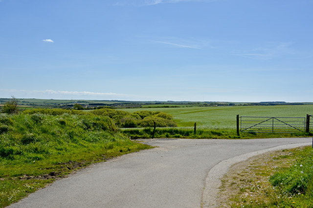
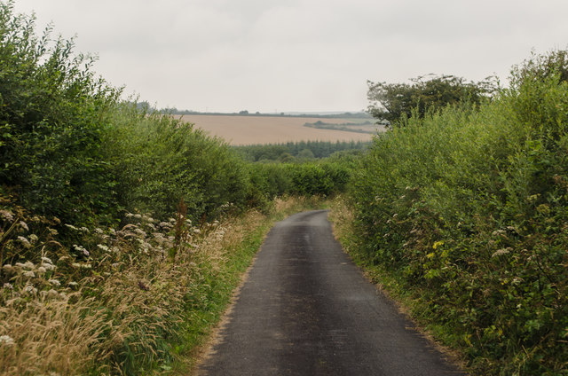
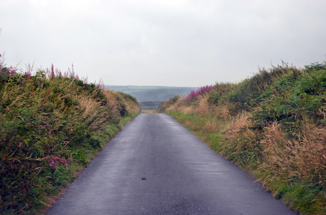
Newlands Moor, located in Devon, England, is a picturesque area known for its stunning natural beauty and diverse ecosystem. Covering an expansive stretch of downs and moorland, it offers a unique landscape that attracts nature enthusiasts and outdoor adventurers alike.

The moorland of Newlands Moor is characterized by its open, rolling hills, heather-clad expanses, and scattered woodland areas. The rich biodiversity of the region is evident in the wide variety of plant and animal species that inhabit the area. Visitors can expect to encounter rare species of birds, including the iconic Dartford warbler and the elusive nightjar, as well as other wildlife such as adders, foxes, and rabbits.

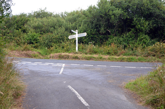
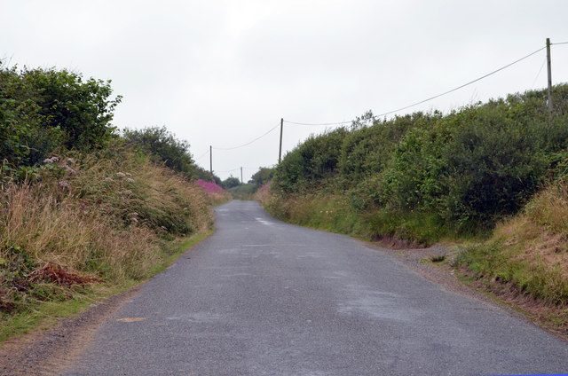
For those seeking outdoor activities, Newlands Moor provides ample opportunities for hiking, walking, and cycling. The extensive network of footpaths and trails allows visitors to explore the vast expanse of the moorland and take in the breathtaking panoramic views.

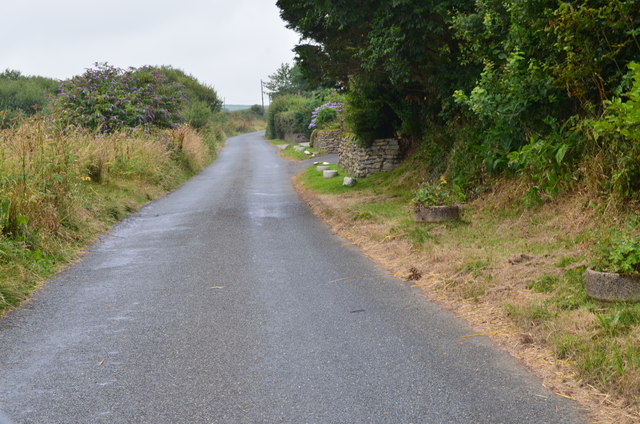
Historically, Newlands Moor has been utilized for grazing livestock, and the remnants of ancient stone walls and boundary markers can still be seen throughout the area. The moor has also been an important site for peat extraction, contributing to the local economy.

Newlands Moor is easily accessible, with nearby parking facilities and public transportation options. Visitors can enjoy the tranquility and serenity of the moorland, immersing themselves in the natural beauty of this idyllic Devonshire landscape.

If you have any feedback on the listing, please let us know in the comments section below.

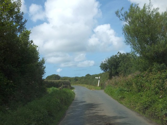
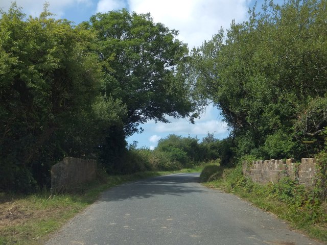
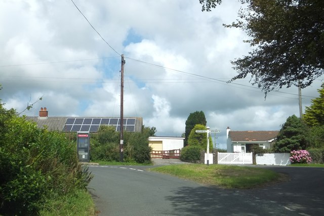
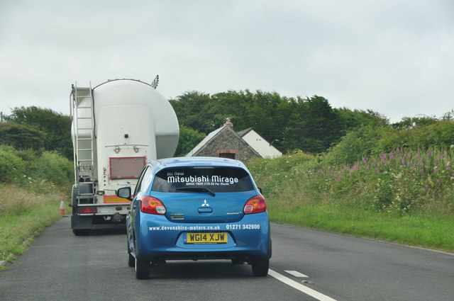
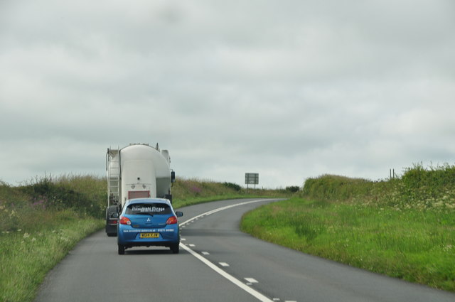
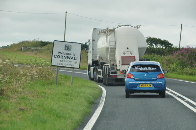
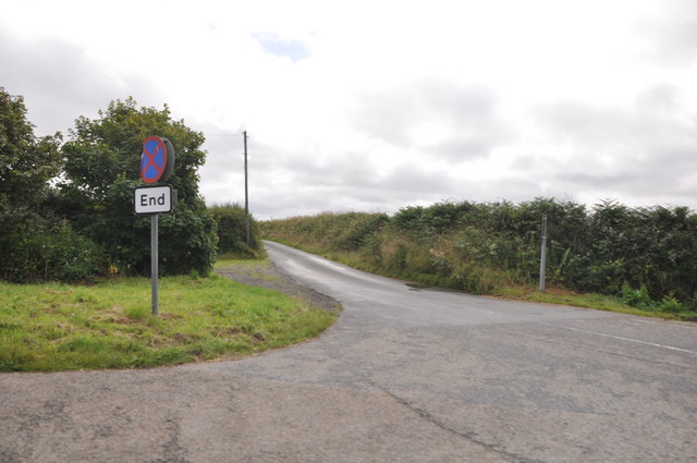
Newlands Moor Images

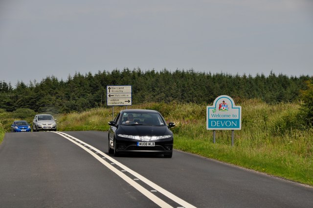
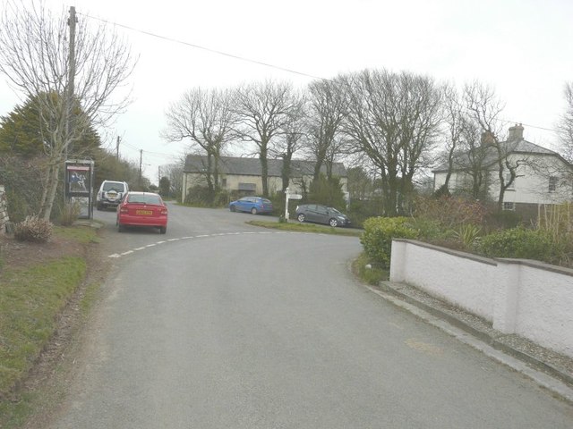
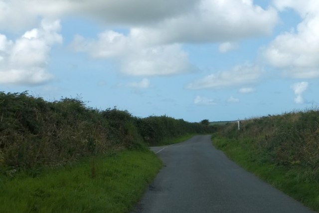
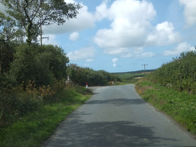
Images are sourced within 2km of 50.926237/-4.4524498 or Grid Reference SS2716. Thanks to Geograph Open Source API. All images are credited.

North Cornwall : Devon Sign & A39 Road The A39 crosses back into civilisation as we know it here as it enters Devon from Cornwall.
North Cornwall : Devon Sign & A39 Road
The A39 crosses back into civilisation as we know it here as it enters Devon from Cornwall.
Road junction at Meddon The signpost points to Welcombe 3, Bradworthy 4 and Holsworthy 12 (miles). My car is parked beside the telephone box marked on the map.
Road junction at Meddon
The signpost points to Welcombe 3, Bradworthy 4 and Holsworthy 12 (miles). My car is parked beside the telephone box marked on the map.
Dural Cross Perversely, this is not the turning for Dural Farm; that is a little further to the west.
Dural Cross
Perversely, this is not the turning for Dural Farm; that is a little further to the west.
The eastern end of forestry plantations On the left is access to forestry buildings; the woodland itself extends from this point to Brimford Bridge, about 800 metres further on.  Some of the woodland can be seen on the right of the picture
The eastern end of forestry plantations
On the left is access to forestry buildings; the woodland itself extends from this point to Brimford Bridge, about 800 metres further on. Some of the woodland can be seen on the right of the picture
Brimford Bridge and signpost at Brimford Cross This is the first bridge over the River Torridge.  The signpost has been leaning for some time (<a href="https://www.geograph.org.uk/photo/1576888">SS2817 : Brimford Cross, near Meddon</a> shows it in 2009)
Brimford Bridge and signpost at Brimford Cross
This is the first bridge over the River Torridge. The signpost has been leaning for some time (SS2817 : Brimford Cross, near Meddon shows it in 2009)
Bridge near Brimford Bridge Just west of Brimford Bridge, the road crosses a tributary of the Torridge on this small bridge
Bridge near Brimford Bridge
Just west of Brimford Bridge, the road crosses a tributary of the Torridge on this small bridge
Road junction in Meddon The phonebox is at the central road junction in the village
Road junction in Meddon
The phonebox is at the central road junction in the village
The view towards Meddon from a road near Trew Farm
Torridge : The A39 The A39 and a car which had just cut in - bit dangerous really.
Torridge : The A39
The A39 and a car which had just cut in - bit dangerous really.
Torridge : The A39 Looking along the A39 as it heads through Torridge.
Torridge : The A39
Looking along the A39 as it heads through Torridge.
Cornwall : The A39 & Cornwall Sign A sign welcomes you to Cornwall on the A39.
Cornwall : The A39 & Cornwall Sign
A sign welcomes you to Cornwall on the A39.
Cornwall : Country Lane A small lane heading off from the A39.
Cornwall : Country Lane
A small lane heading off from the A39.
Unnamed lane towards Hardsworthy Some patches of brightly coloured Willowherb cheer up the monotonous green.
Unnamed lane towards Hardsworthy
Some patches of brightly coloured Willowherb cheer up the monotonous green.
Unnamed lane towards Meddon
Brimford Cross Near Brimford Bridge.
Brimford Cross
Near Brimford Bridge.
Lane near Meddon Heading west.
Lane near Meddon
Heading west.
Lane towards Welcombe Cross The junction is with the A39.
Lane towards Welcombe Cross
The junction is with the A39.
Lane on Woolley Moor Near a rare long barrow in Cornwall, some 62m long.
Lane on Woolley Moor
Near a rare long barrow in Cornwall, some 62m long.
Show me another place!

Newlands Moor is located at Grid Ref: SS2716 (Lat: 50.926237, Lng: -4.4524498)

Administrative County: Devon

District: Torridge

Police Authority: Devon and Cornwall

What 3 Words

///unfair.flexibly.hood. Near Flexbury, Cornwall

Nearby Locations

Newlands Moor Woolley Wood

Related Wikis

Meddon Moor

Meddon Moor is a Site of Special Scientific Interest (SSSI) in Cornwall, England. The moor is located in the very north-eastern corner of Cornwall, on...

Meddon Green Local Nature Reserve

Meddon Green is a 1.7 hectare (ha) Local Nature Reserve, located at Meddon, near Bideford in Devon. It consists of culm grassland surrounded by hazel coppice...

Bursdon

Bursdon is a village in north west Devon, England. It is located very close to the border with Cornwall.

Killarney Springs

Killarney Springs was a leisure park situated near Bude in Cornwall. The park was established in 1990, and opened for the 1991 summer season. The park...

Crimp, Cornwall

Crimp is a hamlet in the parish of Morwenstow, Cornwall, England. == References ==

Eastcott, Cornwall

Eastcott (Cornish: Bosest) is a hamlet 6 miles (9.7 km) north-east of Bude in Cornwall, England. The hamlet is 1 mile (1.6 km) east of Gooseham in the...

West Youlstone

West Youlstone is a hamlet in north Cornwall, England, United Kingdom. It lies seven miles north north west of Bude and north of Kilkhampton along the...

Gooseham Mill

Gooseham Mill is a hamlet in the parish of Morwenstow, Cornwall, England.The hamlet lies below Gooseham hamlet, in the Marsland valley. The county border...

Nearby Amenities

Located within 500m of 50.926237,-4.4524498
Direction: 185
Generator Method: photovoltaic
Generator Output Electricity: yes
Generator Solar Modules: 16
Generator Source: solar
Generator Type: solar_photovoltaic_panel
Location: roof
Power: generator
Lat/Long: 50.9231201/-4.4492134
Animal Boarding
Canine Country Club
Addr City: Bude
Addr Country: GB
Addr Postcode: EX23 9PT
Addr Suburb: Youlstone
Animal Boarding: dog
Check Date: 2023-11-29
Currency XBT: yes
Opening Hours: Mo-Sa 08:00-17:00
Payment Cash: yes
Payment Lightning: yes
Payment Onchain: yes
Website: https://www.caninecountryclub.co.uk
Lat/Long: 50.9226059/-4.451972
The data included in this document is from www.openstreetmap.org. The data is made available under ODbL.

Have you been to Newlands Moor?

Leave your review of Newlands Moor below (or comments, questions and feedback).