Reidh Gorm

Downs, Moorland in Inverness-shire

Scotland

Reidh Gorm

Fraoch Bheinn A top next to Sgùrr an Utha, above Glenfinnan.
Fraoch Bheinn Credit: Richard Webb

The requested URL returned error: 429 Too Many Requests

If you have any feedback on the listing, please let us know in the comments section below.
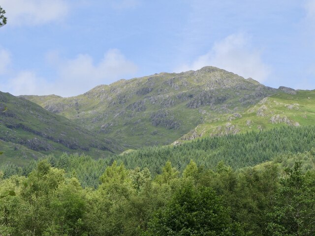
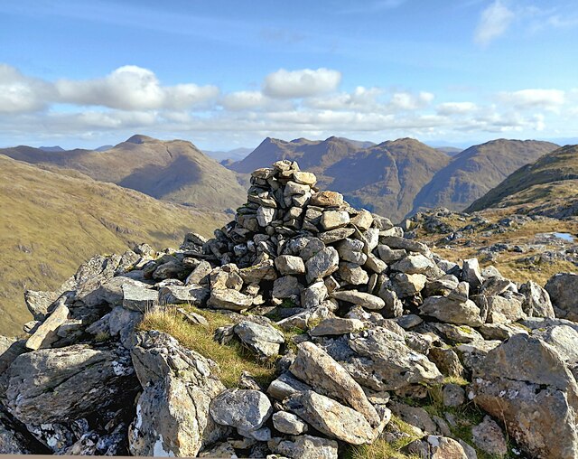
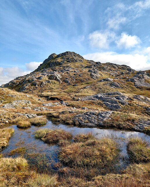
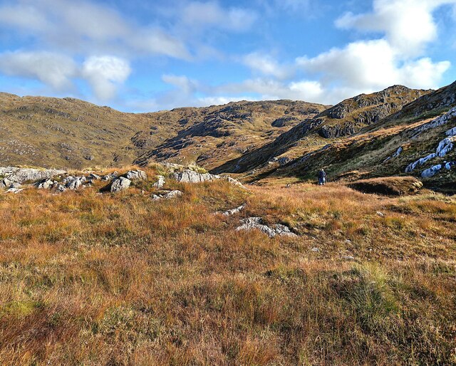
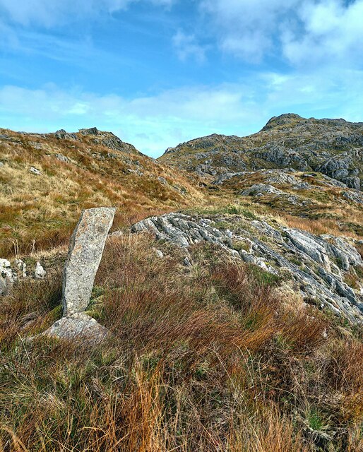
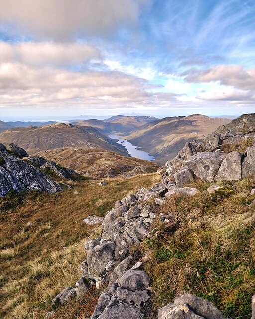
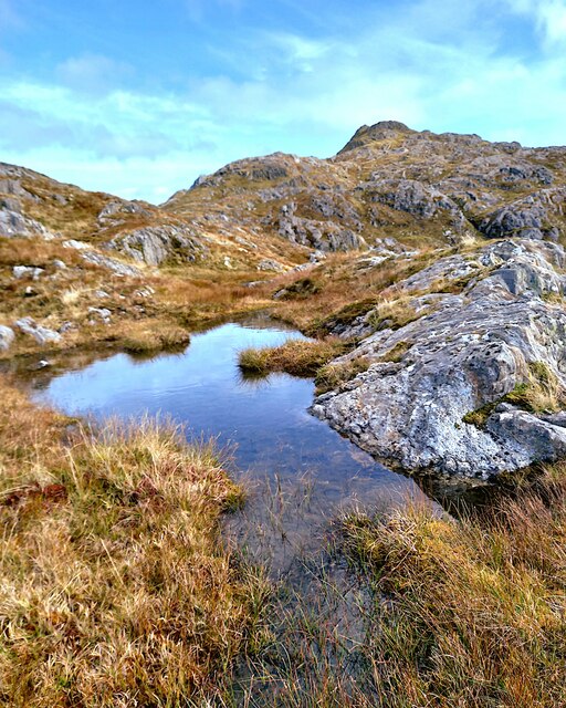
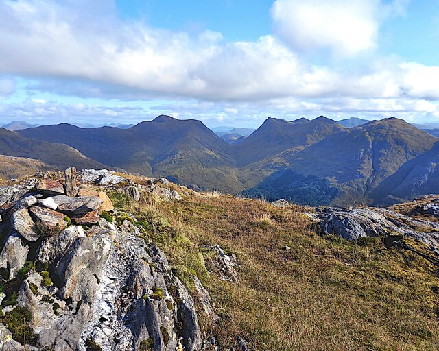
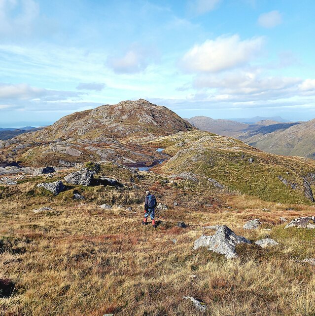
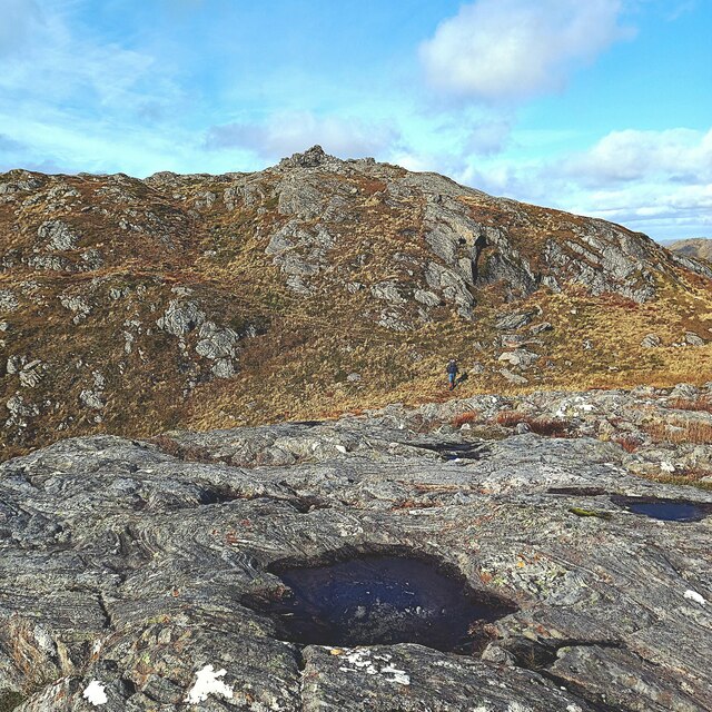
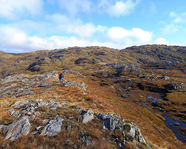
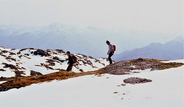
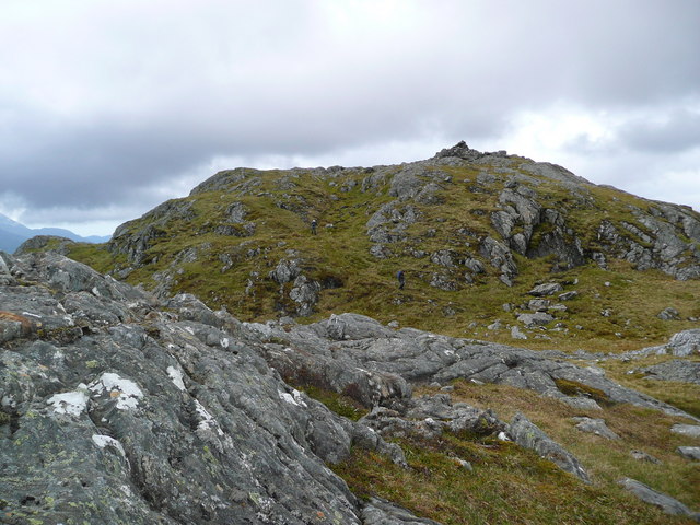
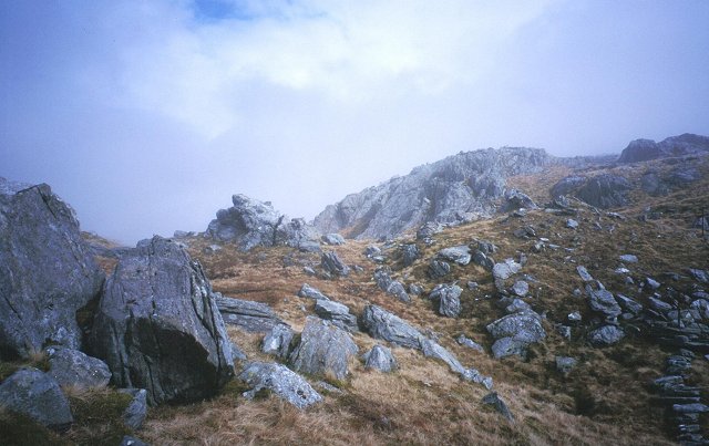
Reidh Gorm Images

Images are sourced within 2km of 56.905427/-5.474686 or Grid Reference NM8884. Thanks to Geograph Open Source API. All images are credited.

Fraoch Bheinn A top next to Sgùrr an Utha, above Glenfinnan.
Fraoch Bheinn
A top next to Sgùrr an Utha, above Glenfinnan.
Sgurr an Utha Summit cairn on Sgurr an Utha.
Sgurr an Utha
Summit cairn on Sgurr an Utha.
Sgurr an Utha
Sgurr an Utha
Druim na Brein-choille
Fraoch-bheinn (Summit) Looking towards Sgurr an Utha from the summit of Fraoch-bheinn.
Fraoch-bheinn (Summit)
Looking towards Sgurr an Utha from the summit of Fraoch-bheinn.
Fraoch-bheinn (Summit)
Sgurr an Utha Summit of Sgurr an Utha.
Sgurr an Utha
Summit of Sgurr an Utha.
Druim na Brein-choille
Sgurr an Utha Sgurr an Utha from the southwest ridge.
Sgurr an Utha
Sgurr an Utha from the southwest ridge.
Sgurr an Utha Looking towards Loch Beoraid from Sgurr an Utha
Sgurr an Utha
Looking towards Loch Beoraid from Sgurr an Utha
Sgurr an Utha Sgurr an Utha from the southwest ridge.
Sgurr an Utha
Sgurr an Utha from the southwest ridge.
Fraoch-bheinn (Summit) Looking towards Sgurr Thuilm and Streap from the summit of Fraoch-bheinn.
Fraoch-bheinn (Summit)
Looking towards Sgurr Thuilm and Streap from the summit of Fraoch-bheinn.
Sgurr an Utha Heading to Sgurr an Utha from Fraoch-bheinn.
Sgurr an Utha
Heading to Sgurr an Utha from Fraoch-bheinn.
Sgurr an Utha Nearing the summit of Sgurr an Utha
Sgurr an Utha
Nearing the summit of Sgurr an Utha
Heading towards Fraoch-bheinn
Sgurr an Utha, southwest ridge
Traversing Fraoch-bheinn Thawing snow makes footfall treacherous.
Traversing Fraoch-bheinn
Thawing snow makes footfall treacherous.
Broken ground round the summit of Sgurr an Utha
Show me another place!

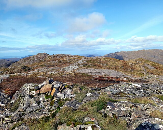
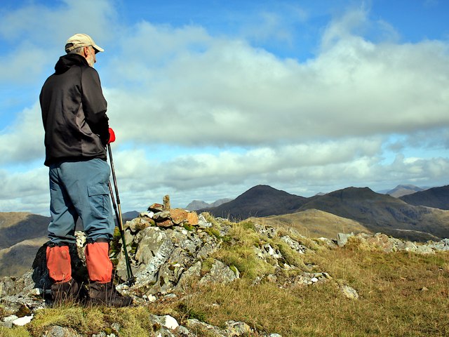
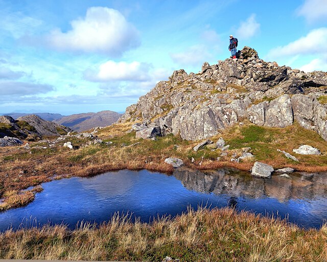
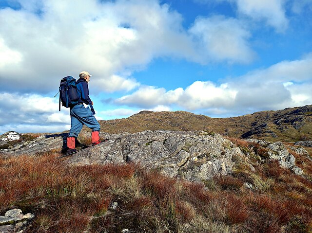
Reidh Gorm is located at Grid Ref: NM8884 (Lat: 56.905427, Lng: -5.474686)

Unitary Authority: Highland

Police Authority: Highlands and Islands

What 3 Words

///cloud.scratches.petal. Near Arisaig, Highland

Nearby Locations

Reidh Gorm

Related Wikis

Sgùrr an Utha and Fraoch-bheinn

Sgùrr an Utha and Fraoch-bheinn are two hills above Glenfinnan, in Lochaber, Highland, Scotland. The two summits are joined by a summit ridge, which is...

Allt a' Chaol Ghlinne

Allt a' Chaol Ghlinne—also spelled Allt a' Chaol-ghlinne—is a river in the Lochaber area of Highland, Scotland. Located in a glen (valley) within the Northwest...

Glen Finnan

Glen Finnan is a glen (valley) in Lochaber, Highland, Scotland, located at the foot of Streap in the Northwest Highlands mountain range. The River Finnan...

A830 road

The A830, also known as the Road to the Isles (though it forms only a part of the historic route) is a major road in Lochaber, Scottish Highlands. It connects...

Nearby Amenities

Located within 500m of 56.905427,-5.474686
Meall Coire na Saobhaidh
Ele: 547
Natural: peak
Source: Scottish Popular Edition
Lat/Long: 56.909854/-5.4752288
Ele: 309
Mountain Pass: yes
Source: Scottish Popular Edition
Lat/Long: 56.9058239/-5.4733405
The data included in this document is from www.openstreetmap.org. The data is made available under ODbL.

Have you been to Reidh Gorm?

Leave your review of Reidh Gorm below (or comments, questions and feedback).