Wolfcleugh Head

Landscape Feature in Durham

England

Wolfcleugh Head

Minor Road at Swinhope Head The road begins a long descent into the Upper Tees Valley from here.
Minor Road at Swinhope Head Credit: Philip Cornwall

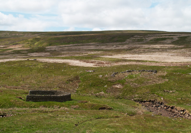
Wolfcleugh Head is a prominent landscape feature located in County Durham, England. Situated in the North Pennines Area of Outstanding Natural Beauty, it is a distinctive hill that rises to an elevation of approximately 530 meters (1,740 feet) above sea level.

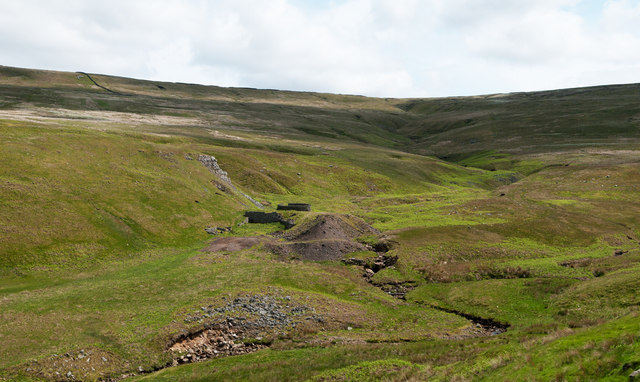
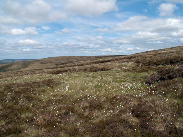
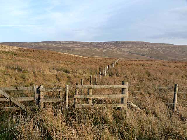
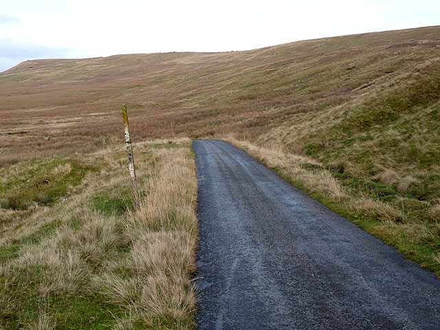
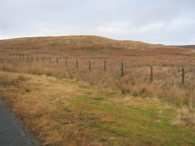
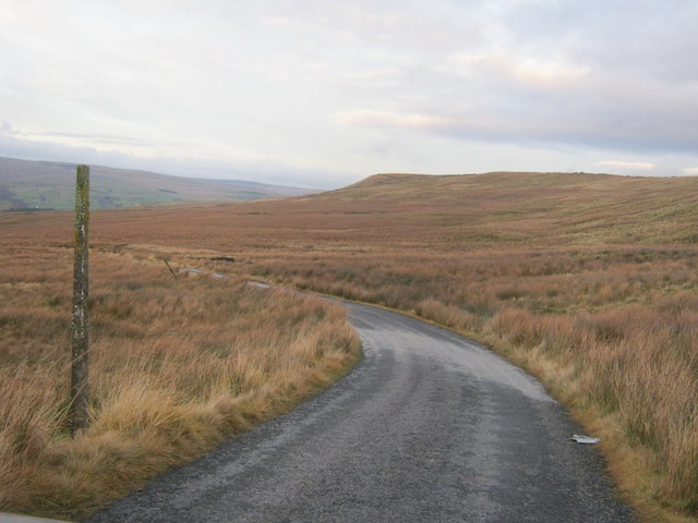
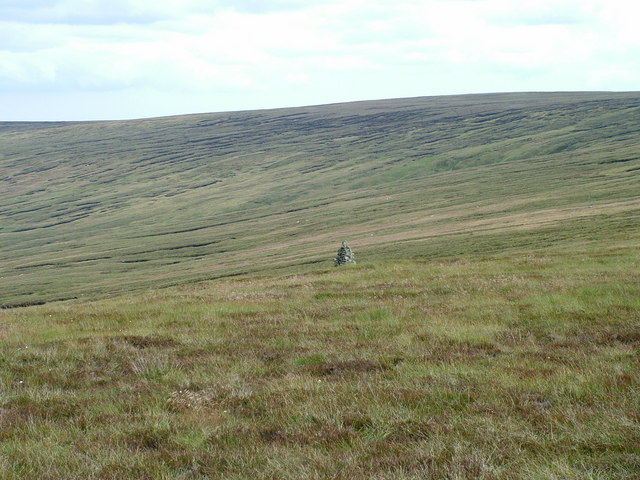
The hill is characterized by its rugged and rocky terrain, covered in heather and grasses that turn golden during the summer months. This creates a stunning contrast against the deep green hues of the surrounding moorland. Wolfcleugh Head offers breathtaking panoramic views of the surrounding countryside, including the nearby Teesdale and Weardale valleys.

The area is known for its rich biodiversity, with a variety of flora and fauna making their home on the hill. Rare bird species such as the red grouse and curlew can be spotted, as well as several species of butterflies and moths. The hillside is also dotted with ancient stone walls, evidence of past agricultural activities.

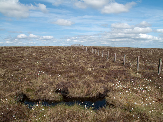
Wolfcleugh Head is a popular destination for outdoor enthusiasts, attracting hikers, walkers, and nature lovers from near and far. Several footpaths and trails crisscross the area, providing opportunities for exploration and adventure. The hill's location within the North Pennines Area of Outstanding Natural Beauty ensures its protection and preservation for future generations to enjoy.

Overall, Wolfcleugh Head is a remarkable landscape feature in Durham, offering a unique blend of natural beauty, biodiversity, and recreational opportunities. It is a place where visitors can immerse themselves in the stunning scenery and experience the tranquility of the North Pennines.

If you have any feedback on the listing, please let us know in the comments section below.

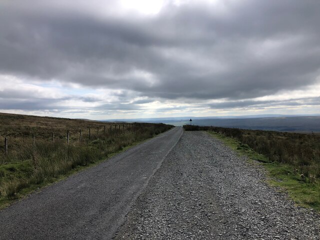
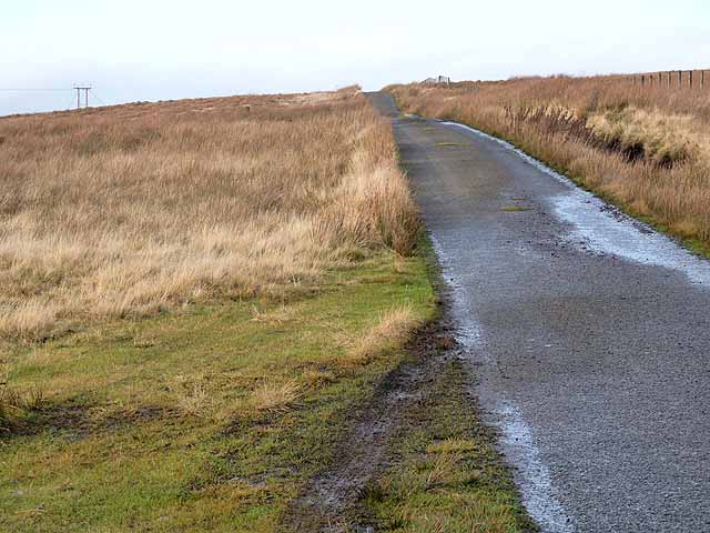
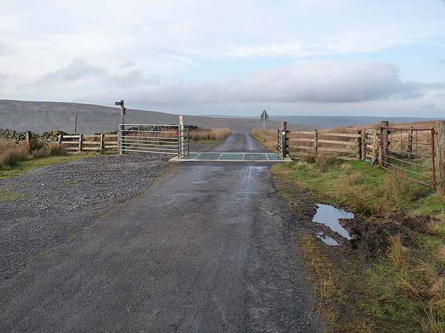
Wolfcleugh Head Images

Images are sourced within 2km of 54.695864/-2.1283398 or Grid Reference NY9133. Thanks to Geograph Open Source API. All images are credited.
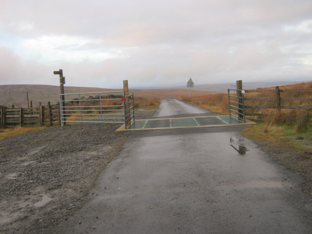
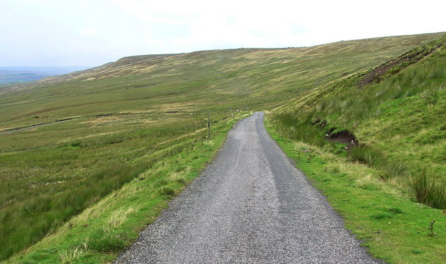
Minor Road at Swinhope Head The road begins a long descent into the Upper Tees Valley from here.
Minor Road at Swinhope Head
The road begins a long descent into the Upper Tees Valley from here.
Road summit at Swinhope Head [2] Quite a contrast to the last time I took a photograph here [22/03/18] as the temperature on that occasion was only a little above freezing, but on this occasion it was 33°C, even at 2000ft. Taken on a day of record breaking temperatures across Britain. Not much point in coming up here to keep cool.
Road summit at Swinhope Head [2]
Quite a contrast to the last time I took a photograph here [22/03/18] as the temperature on that occasion was only a little above freezing, but on this occasion it was 33°C, even at 2000ft. Taken on a day of record breaking temperatures across Britain. Not much point in coming up here to keep cool.
Minor road on Newbiggin Common Just below the summit at Swinhope Head which, at 609 metres above sea level, I believe is the highest public motorable road in England.
Minor road on Newbiggin Common
Just below the summit at Swinhope Head which, at 609 metres above sea level, I believe is the highest public motorable road in England.
Road summit at Swinhope Head Cattle grid at the summit of the road from Newbiggin (Teesdale) to Westgate (Weardale) at Swinhope Head which, at 609 metres above sea level, I believe is the highest public motorable road in England.
Road summit at Swinhope Head
Cattle grid at the summit of the road from Newbiggin (Teesdale) to Westgate (Weardale) at Swinhope Head which, at 609 metres above sea level, I believe is the highest public motorable road in England.
Cattle grid on minor road at Swinehope Head
Curved walls on west side of Westernhope Burn There are two wall sections across the stream, one completely ruinous. OS mapping at 1:25 000 names these curved walls as sheepfolds but surely they're not; a sheepfold would have a means of sealing an entrance so as to confine animals when required; that would be impossible here. A more likely explanation is that the features are/were sheep shelters so that beasts could keep out of the worst of poor weather.
Curved walls on west side of Westernhope Burn
There are two wall sections across the stream, one completely ruinous. OS mapping at 1:25 000 names these curved walls as sheepfolds but surely they're not; a sheepfold would have a means of sealing an entrance so as to confine animals when required; that would be impossible here. A more likely explanation is that the features are/were sheep shelters so that beasts could keep out of the worst of poor weather.
Mine site beside Ash Cleugh Ash Cleugh is a side valley of Western Hope and continues beyond the mine remains with Blaeberry Cleugh joining from the right just below the spoil heap; the mine site is one of many within the Western Hope catchment.
Mine site beside Ash Cleugh
Ash Cleugh is a side valley of Western Hope and continues beyond the mine remains with Blaeberry Cleugh joining from the right just below the spoil heap; the mine site is one of many within the Western Hope catchment.
Moorland on north-west slope of Outberry Plain The density of heather on the north-eastern moorland slope of Outberry Plain increases with height but here, at around 600m cotton grass is the more eye-catching vegetation. Snowhope Hill is the flat top on the centre horizon.
(Note: Cotton grasses, despite the name are not grasses but sedges and to add to the complication there's not just the one species.)
Moorland on north-west slope of Outberry Plain
The density of heather on the north-eastern moorland slope of Outberry Plain increases with height but here, at around 600m cotton grass is the more eye-catching vegetation. Snowhope Hill is the flat top on the centre horizon. (Note: Cotton grasses, despite the name are not grasses but sedges and to add to the complication there's not just the one species.)
Fence rising over moorland rising to Outberry Plain The fence here follows the watershed between Weardale and Teesdale; the summit of the vague rise ahead, Outberry Plain, is very hard to identify.
Fence rising over moorland rising to Outberry Plain
The fence here follows the watershed between Weardale and Teesdale; the summit of the vague rise ahead, Outberry Plain, is very hard to identify.
Fence on Black Hill Westernhope Moor <a href="https://www.geograph.org.uk/gridref/NY9133">NY9133</a> on the skyline.
Fence on Black Hill
Westernhope Moor NY9133 on the skyline.
Road below Westernhope Moor On the mountain road between Newbiggin (Teesdale) and Westgate (Weardale).
Road below Westernhope Moor
On the mountain road between Newbiggin (Teesdale) and Westgate (Weardale).
Black Hill on Newbiggin Common
Sharp bend in road from Swinehope Head
Descent from Swinhope Head Road From Newbiggin (Teesdale) descending from Swinhope Head and on to Westgate (Weardale)
Descent from Swinhope Head
Road From Newbiggin (Teesdale) descending from Swinhope Head and on to Westgate (Weardale)
Trig Point on Westernhope Moor The trig point on Westernhope Moor (675 m) surrounded by a sea of heather.
Trig Point on Westernhope Moor
The trig point on Westernhope Moor (675 m) surrounded by a sea of heather.
Bouncing on peat, Westernhope Moor After a dry summer is peat is quite springy and great fun for children.  On the ridge leading to Westernhope Moor with Weardale in background.
Bouncing on peat, Westernhope Moor
After a dry summer is peat is quite springy and great fun for children. On the ridge leading to Westernhope Moor with Weardale in background.
Middle of 3 Curricks on Westernhope Moor
Currick on Westernhope Moor
Show me another place!

Wolfcleugh Head is located at Grid Ref: NY9133 (Lat: 54.695864, Lng: -2.1283398)

Unitary Authority: County Durham

Police Authority: Durham

What 3 Words

///strumming.fires.recording. Near Newbiggin, Co. Durham

Nearby Locations

Wolfcleugh Head

Related Wikis

Fairy Holes Cave

Fairy Holes Cave is a Site of Special Scientific Interest in the Wear Valley district of west County Durham, England. It is located on the western flanks...

Westernhope Burn Wood

Westernhope Burn Wood is a Site of Special Scientific Interest in the Wear Valley district of south-west County Durham, England. It occupies the steeply...

Westgate, County Durham

Westgate is a village in the civil parish of Stanhope, in County Durham, England. It is situated in Weardale between St John's Chapel and Eastgate. In...

North Pennines

The North Pennines is the northernmost section of the Pennine range of hills which runs north–south through northern England. It lies between Carlisle...

Nearby Amenities

Located within 500m of 54.695864,-2.1283398
Man Made: cairn
Lat/Long: 54.6921487/-2.1303494
Image: https://www.geograph.org.uk/photo/1825528
Man Made: cairn
Lat/Long: 54.6916863/-2.1287596
The data included in this document is from www.openstreetmap.org. The data is made available under ODbL.

Have you been to Wolfcleugh Head?

Leave your review of Wolfcleugh Head below (or comments, questions and feedback).