Ashgrove Loch
Lake, Pool, Pond, Freshwater Marsh in Ayrshire
Scotland
Ashgrove Loch
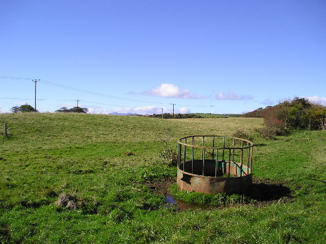
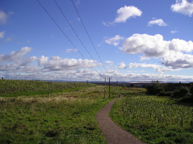
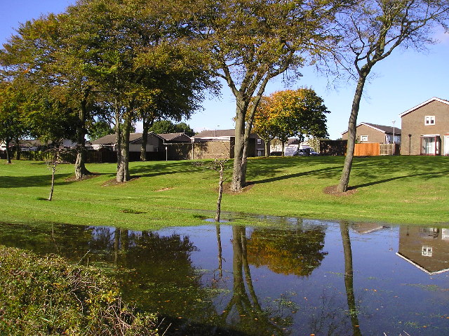
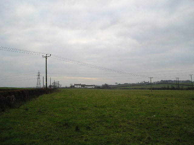
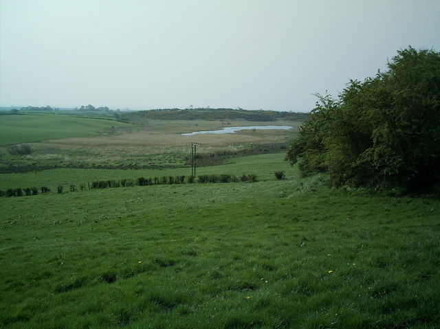
Ashgrove Loch is a picturesque freshwater loch located in the county of Ayrshire, Scotland. Nestled amidst rolling hills and lush green landscapes, this natural beauty spot serves as a popular recreational area for both locals and tourists.
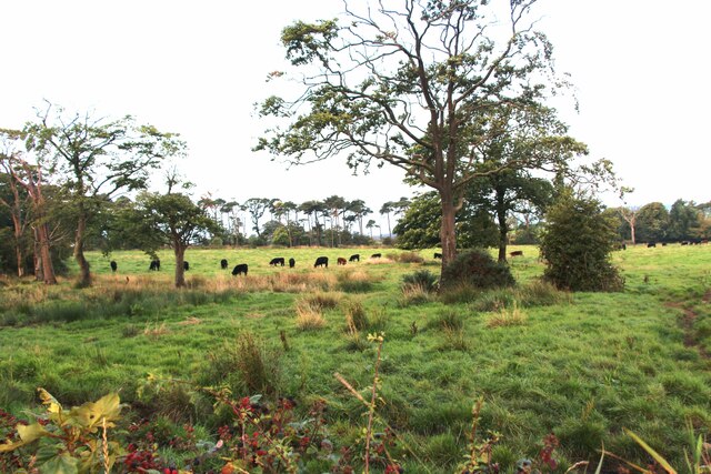
With a surface area of approximately 40 acres, Ashgrove Loch is not particularly large, but it boasts a diverse ecosystem that supports a wide variety of plant and animal species. The loch is surrounded by dense vegetation, including reeds, rushes, and willow trees, which provide a habitat for numerous bird species, such as swans, ducks, and herons. These birds can often be seen gracefully gliding across the calm waters or searching for food along the loch's banks.
The tranquil atmosphere of Ashgrove Loch makes it an ideal spot for fishing enthusiasts. The loch is home to a healthy population of freshwater fish, including perch, pike, and roach, offering anglers an opportunity to test their skills and enjoy a peaceful day by the water.
In addition to fishing, Ashgrove Loch also offers opportunities for other water-based activities such as boating and kayaking. Visitors can bring their own watercraft or rent one locally to explore the loch's serene surroundings at their own pace.
Overall, Ashgrove Loch is a charming and idyllic destination, offering a haven of natural beauty and tranquility for all who visit. Whether it's fishing, birdwatching, or simply enjoying the serene ambiance, this loch is a must-visit for nature lovers and outdoor enthusiasts alike.
If you have any feedback on the listing, please let us know in the comments section below.
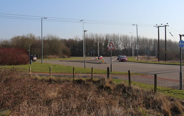
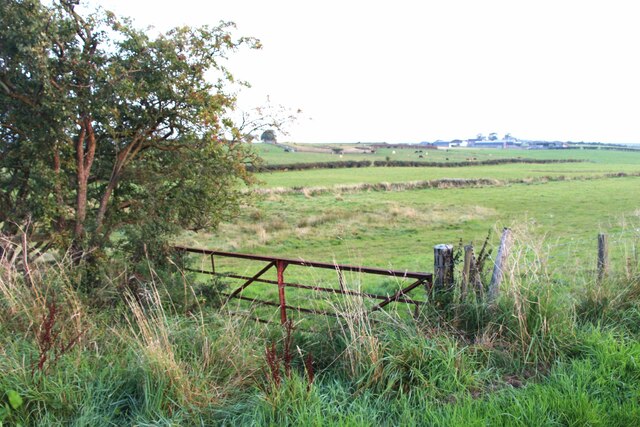
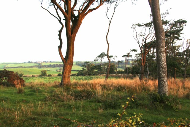
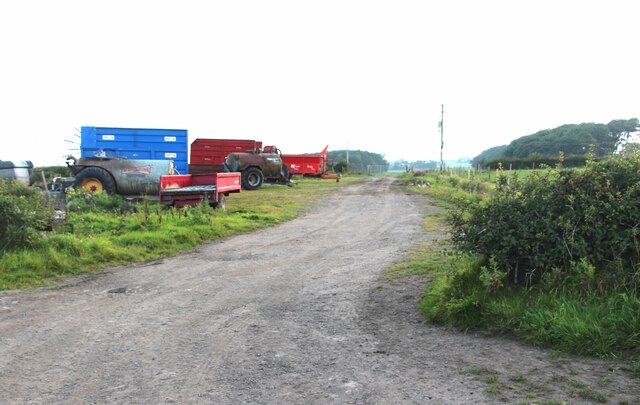
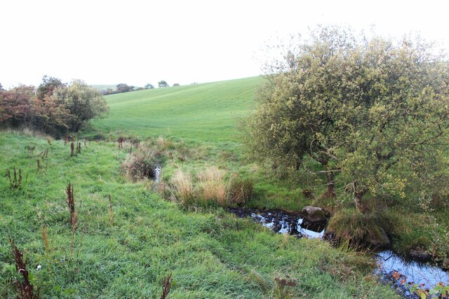
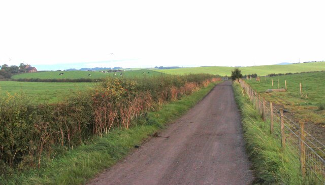
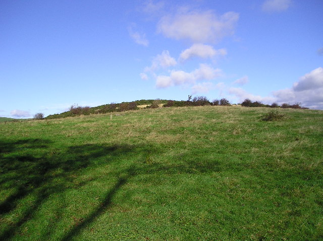
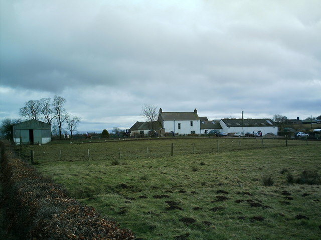
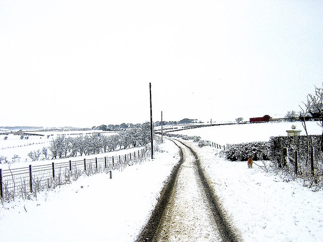
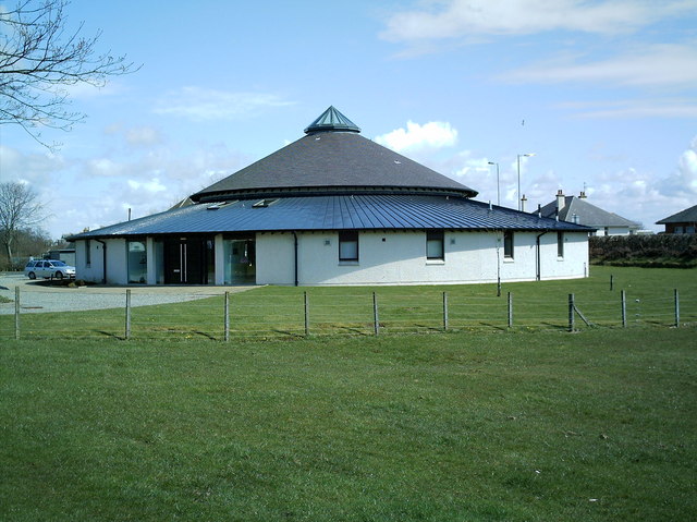
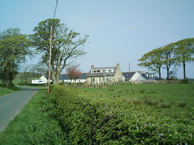
Ashgrove Loch Images
Images are sourced within 2km of 55.661865/-4.7435503 or Grid Reference NS2744. Thanks to Geograph Open Source API. All images are credited.
Ashgrove Loch is located at Grid Ref: NS2744 (Lat: 55.661865, Lng: -4.7435503)
Unitary Authority: North Ayrshire
Police Authority: Ayrshire
Also known as: Stevenston Loch
What 3 Words
///blushed.shadowing.work. Near Kilwinning, North Ayrshire
Nearby Locations
Related Wikis

Lands of Ashgrove
The Lands of Ashgrove, previously known as Ashenyards, formed a small estate in the Parish of Kilwinning, North Ayrshire, lying between Kilwinning and...

Kerelaw House
Kerelaw House was part of the former Kerelaw Estate situated on the west coast of Ayrshire, Scotland, in the town of Stevenston. == History == The house...
Kerelaw Castle
Kerelaw Castle is a castle ruin. It is situated on the coast of North Ayrshire, Scotland in the town of Stevenston. == History == This castle, variously...

Stevenston
Stevenston (Scots: Steenstoun, Scottish Gaelic: Baile Steaphain) is a town and parish in North Ayrshire, Scotland. Along with Ardrossan and Saltcoats it...

Kilwinning railway station
Kilwinning railway station is a railway station serving the town of Kilwinning, North Ayrshire, Scotland. The station is managed by ScotRail and is on...
Piperheugh
Piperheugh, Piper's-Heugh, or even Piperhaugh was a hamlet in North Ayrshire, Parish of Stevenston, Scotland. The inhabitants were recorded as famous manufacturers...

North Ayrshire
North Ayrshire (Scottish Gaelic: Siorrachd Àir a Tuath, pronounced [ˈʃirˠəxk aːɾʲ ə ˈt̪ʰuə]) is one of 32 council areas in Scotland. The council area borders...

Dalgarven
The tiny village of Dalgarven in North Ayrshire, Scotland is located just north of Kilwinning on the road to Dalry. == History == In 1881 some two hundred...
Nearby Amenities
Located within 500m of 55.661865,-4.7435503Have you been to Ashgrove Loch?
Leave your review of Ashgrove Loch below (or comments, questions and feedback).