Mosshouse Pond

Lake, Pool, Pond, Freshwater Marsh in Huntingdonshire Huntingdonshire

England

Mosshouse Pond

Track to Woodhurst
Track to Woodhurst Credit: Dave Thompson

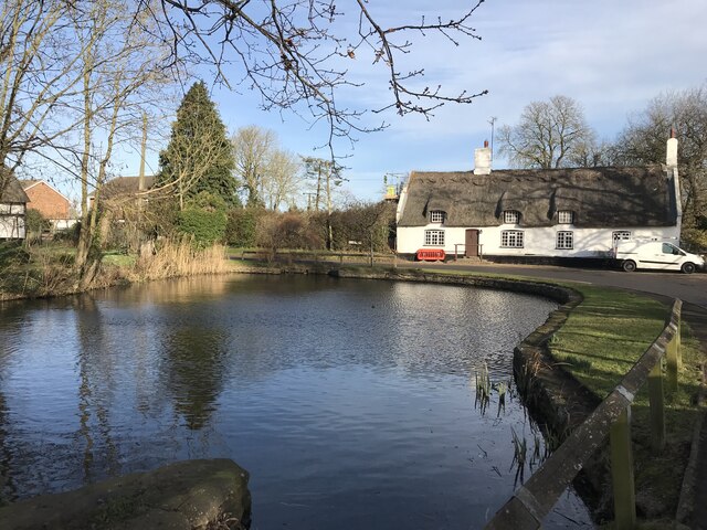
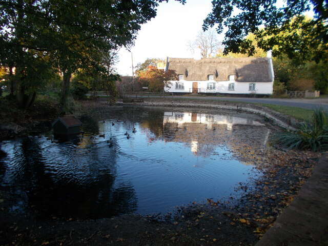
Mosshouse Pond, located in Huntingdonshire, is a small freshwater marsh that serves as a crucial habitat for various aquatic species. Covering an area of approximately 2 acres, it is often referred to as a pond due to its smaller size. The pond is surrounded by lush green vegetation, including reeds, grasses, and water lilies, which provide ample shelter and food for the resident wildlife.

The water in Mosshouse Pond is clear and still, reflecting the surrounding landscape and creating a serene atmosphere. It is fed by natural springs and rainwater runoff, ensuring a consistent water supply throughout the year. The depth of the pond varies, with some areas being shallow and others reaching up to 6 feet in depth.

The diverse range of flora and fauna found in Mosshouse Pond makes it an ecologically significant site. The pond provides a breeding ground for various amphibians, such as frogs and newts, as well as a haven for numerous bird species, including ducks, swans, and herons.

Visitors to Mosshouse Pond can often observe these animals in their natural habitat, making it a popular spot for nature enthusiasts and birdwatchers. The peaceful surroundings and abundant wildlife create a tranquil and scenic setting, perfect for those seeking a moment of respite from the hustle and bustle of daily life.

Overall, Mosshouse Pond is a small but important freshwater marsh that supports a diverse ecosystem and offers a peaceful retreat for both wildlife and humans alike.

If you have any feedback on the listing, please let us know in the comments section below.

Mosshouse Pond Images

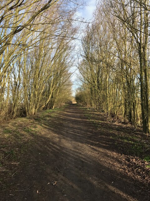
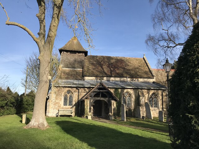
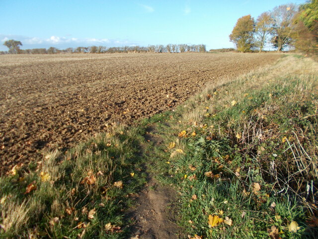
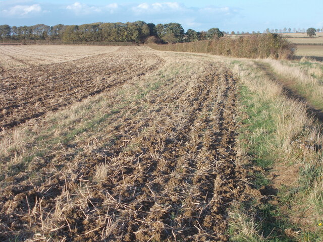
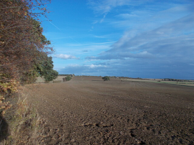
Images are sourced within 2km of 52.368186/-0.060237027 or Grid Reference TL3276. Thanks to Geograph Open Source API. All images are credited.

Track to Woodhurst
Track to Woodhurst
Woodhurst village pond
Woodhurst parish church
Field edge path leading towards Woodhurst
On the Via Beata between St Ives and Woodhurst This path between St Ives and Woodhurst borders a field edge before continuing ahead through deciduous woodland to the village of Woodhurst.
On the Via Beata between St Ives and Woodhurst
This path between St Ives and Woodhurst borders a field edge before continuing ahead through deciduous woodland to the village of Woodhurst.
Last view of the open landscape before entering woodland.
Woodhurst village This appears to be the usual shot of the village with the pond in the foreground. As this is a ring village, there is no excuse for getting lost since, by following the road ahead, you arrive back at the point where you started ! Hurst, as part of a place name, means a grove or wooded hillock and this is an appropriate name for the village.
Woodhurst village
This appears to be the usual shot of the village with the pond in the foreground. As this is a ring village, there is no excuse for getting lost since, by following the road ahead, you arrive back at the point where you started ! Hurst, as part of a place name, means a grove or wooded hillock and this is an appropriate name for the village.
Mushroom compost plant
The Mad Cat Inn at Pidley
Public footpath to Pidley church
The road to Pidley Lodge Farm
The road into Woodhurst from Oldhurst
Thatched cottage at Woodhurst This is known as Horseshoe Cottage and was once a public house called 'The Three Horseshoes'
Thatched cottage at Woodhurst
This is known as Horseshoe Cottage and was once a public house called 'The Three Horseshoes'
Cottages at Woodhurst, in South Street
Farm track, just east of Woodhurst
Pidley Sheep Lane, the B.1040
Brick Game Ltd near Hill Farm on the Somersham Road
Footpath to Spinney Moat Footpath to Spinney Moat cuts up to the left of the hedge
Footpath to Spinney Moat
Footpath to Spinney Moat cuts up to the left of the hedge
Show me another place!

Mosshouse Pond is located at Grid Ref: TL3276 (Lat: 52.368186, Lng: -0.060237027)

Administrative County: Cambridgeshire

District: Huntingdonshire

Police Authority: Cambridgeshire

What 3 Words

///lonely.wiped.mourner. Near Warboys, Cambridgeshire

Nearby Locations

Mosshouse Pond

Related Wikis

Nearby Amenities

Located within 500m of 52.368186,-0.060237027
Post Box
Post Box Type: wall
Royal Cypher: GR
Royal Cypher Wikidata: Q33102273
Lat/Long: 52.3670718/-0.0672765
Power: pole
Lat/Long: 52.3679713/-0.065387
Power: pole
Lat/Long: 52.3678125/-0.0645983
Power: transformer
Lat/Long: 52.3682269/-0.0631473
Power: pole
Lat/Long: 52.3681351/-0.0665726
The data included in this document is from www.openstreetmap.org. The data is made available under ODbL.

Have you been to Mosshouse Pond?

Leave your review of Mosshouse Pond below (or comments, questions and feedback).